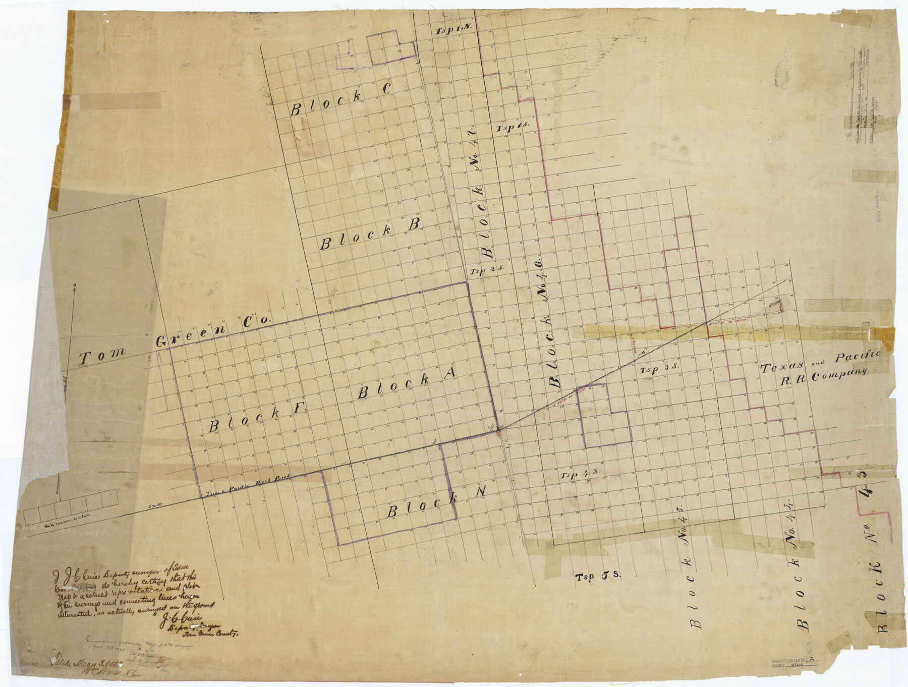
Ward County Rolled Sketch A
[Map of surveys now in Ward, Winkler, Crane and Ector Counties - formerly Tom Green County]
-
Map/Doc
10099
-
Collection
General Map Collection
-
Object Dates
1883/5/3 (File Date)
-
People and Organizations
J.C. Caie (Surveyor/Engineer)
-
Counties
Ward Winkler Crane Ector
-
Subjects
Surveying Rolled Sketch
-
Height x Width
42.6 x 56.3 inches
108.2 x 143.0 cm
-
Medium
linen, manuscript
Part of: General Map Collection
Kimble County Working Sketch 78

Print $20.00
- Digital $50.00
Kimble County Working Sketch 78
1970
Size 46.0 x 31.6 inches
Map/Doc 70146
Wichita County Sketch File 17

Print $20.00
- Digital $50.00
Wichita County Sketch File 17
1889
Size 29.7 x 22.4 inches
Map/Doc 12680
Flight Mission No. DIX-10P, Frame 76, Aransas County

Print $20.00
- Digital $50.00
Flight Mission No. DIX-10P, Frame 76, Aransas County
1956
Size 18.8 x 22.4 inches
Map/Doc 83937
Duval County Working Sketch 40

Print $20.00
- Digital $50.00
Duval County Working Sketch 40
1960
Size 19.5 x 16.6 inches
Map/Doc 68764
Harris County Working Sketch 35

Print $20.00
- Digital $50.00
Harris County Working Sketch 35
1938
Size 28.8 x 25.2 inches
Map/Doc 65927
Reeves County Working Sketch 18

Print $20.00
- Digital $50.00
Reeves County Working Sketch 18
1961
Size 24.7 x 40.2 inches
Map/Doc 63461
Matagorda County Rolled Sketch 16

Print $20.00
- Digital $50.00
Matagorda County Rolled Sketch 16
Size 25.7 x 41.6 inches
Map/Doc 7591
No. 3 Chart of Channel connecting Corpus Christi Bay with Aransas Bay, Texas

Print $20.00
- Digital $50.00
No. 3 Chart of Channel connecting Corpus Christi Bay with Aransas Bay, Texas
1878
Size 18.4 x 28.0 inches
Map/Doc 72775
Flight Mission No. DCL-6C, Frame 122, Kenedy County

Print $20.00
- Digital $50.00
Flight Mission No. DCL-6C, Frame 122, Kenedy County
1943
Size 18.5 x 22.4 inches
Map/Doc 85952
Pecos County Rolled Sketch 44

Print $20.00
- Digital $50.00
Pecos County Rolled Sketch 44
1912
Size 22.9 x 37.6 inches
Map/Doc 7222
Live Oak County Working Sketch 25

Print $3.00
- Digital $50.00
Live Oak County Working Sketch 25
1980
Size 16.7 x 10.6 inches
Map/Doc 70610
Victoria County Sketch File 8

Print $2.00
- Digital $50.00
Victoria County Sketch File 8
Size 5.7 x 5.6 inches
Map/Doc 39524
You may also like
Yoakum County

Print $20.00
- Digital $50.00
Yoakum County
1932
Size 45.7 x 34.1 inches
Map/Doc 73331
Topographical Map of the Rio Grande, Sheet No. 6

Print $20.00
- Digital $50.00
Topographical Map of the Rio Grande, Sheet No. 6
1912
Map/Doc 89530
Flight Mission No. DCL-6C, Frame 123, Kenedy County

Print $20.00
- Digital $50.00
Flight Mission No. DCL-6C, Frame 123, Kenedy County
1943
Size 18.6 x 22.3 inches
Map/Doc 85953
General Highway Map, Nueces County, Texas

Print $20.00
General Highway Map, Nueces County, Texas
1961
Size 24.6 x 18.2 inches
Map/Doc 79616
Right of Way and Track Map, Galveston, Harrisburg & San Antonio Ry. operated by the T. & N. O. R.R. Co., Victoria Division, Rosenberg to Beeville

Print $40.00
- Digital $50.00
Right of Way and Track Map, Galveston, Harrisburg & San Antonio Ry. operated by the T. & N. O. R.R. Co., Victoria Division, Rosenberg to Beeville
1918
Size 24.4 x 57.9 inches
Map/Doc 76158
Burleson County

Print $20.00
- Digital $50.00
Burleson County
1884
Size 21.9 x 25.2 inches
Map/Doc 3349
Map showing the line of the Cairo & Fulton Railroad and its connections.

Print $20.00
Map showing the line of the Cairo & Fulton Railroad and its connections.
1871
Size 24.0 x 22.0 inches
Map/Doc 93611
Map of the Straits of Florida and Gulf of Mexico

Print $20.00
- Digital $50.00
Map of the Straits of Florida and Gulf of Mexico
1851
Size 18.4 x 27.5 inches
Map/Doc 72674
[Block C-41, Sections 32, 35, 35 1/2, and vicinity]
![92622, [Block C-41, Sections 32, 35, 35 1/2, and vicinity], Twichell Survey Records](https://historictexasmaps.com/wmedia_w700/maps/92622-1.tif.jpg)
Print $20.00
- Digital $50.00
[Block C-41, Sections 32, 35, 35 1/2, and vicinity]
1951
Size 20.8 x 9.1 inches
Map/Doc 92622

Randall County

Print $20.00
- Digital $50.00
Randall County
1958
Size 46.2 x 39.9 inches
Map/Doc 95620
[Plat Showing Colorado, Upshur & Travis County School Land and Surrounding Area in Baylor & Throckmorton Counties, Texas]
![75790, [Plat Showing Colorado, Upshur & Travis County School Land and Surrounding Area in Baylor & Throckmorton Counties, Texas], Maddox Collection](https://historictexasmaps.com/wmedia_w700/maps/75790.tif.jpg)
Print $20.00
- Digital $50.00
[Plat Showing Colorado, Upshur & Travis County School Land and Surrounding Area in Baylor & Throckmorton Counties, Texas]
1889
Size 15.8 x 20.5 inches
Map/Doc 75790