
Andrews County Rolled Sketch 42
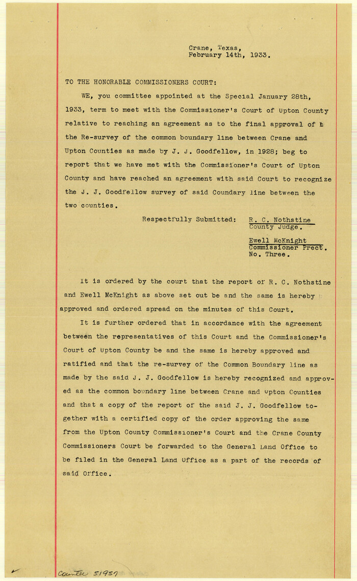
Crane County Boundary File 1
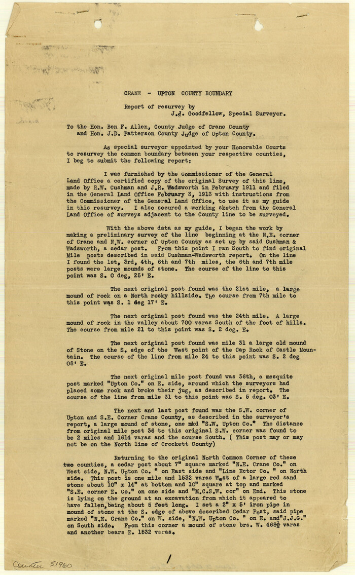
Crane County Boundary File 1a

Crane County Boundary File 1b

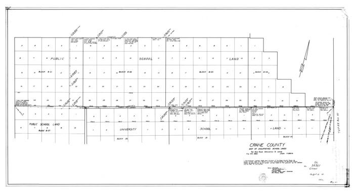
Crane County Map of Unsurveyed School Lands for Bob Reid's Application to Lease
1946
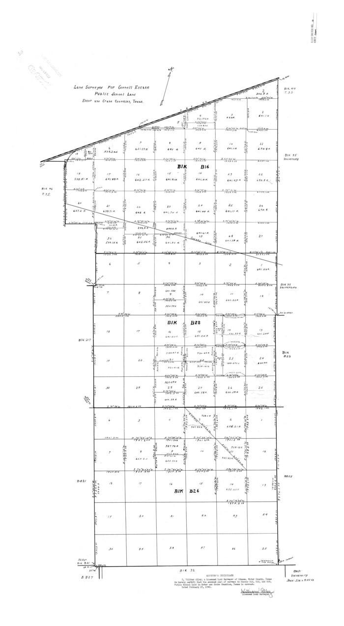
Crane County Rolled Sketch 13
1940

Crane County Rolled Sketch 14
1935
Crane County Rolled Sketch 15
1946

Crane County Rolled Sketch 17
1926

Crane County Rolled Sketch 18
1950

Crane County Rolled Sketch 19
1926
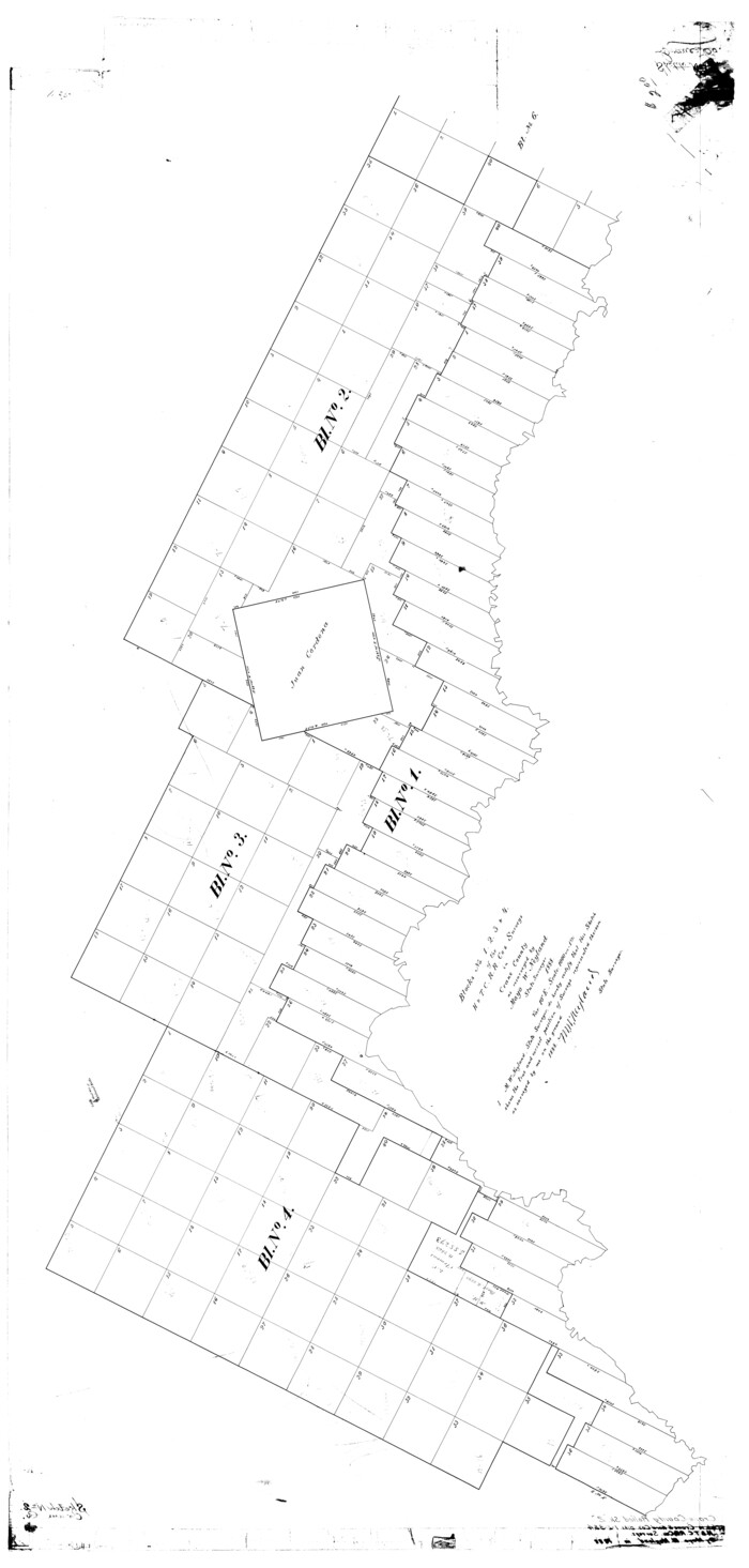
Crane County Rolled Sketch 2
1888
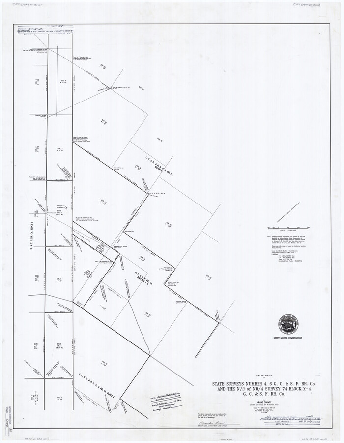
Crane County Rolled Sketch 20
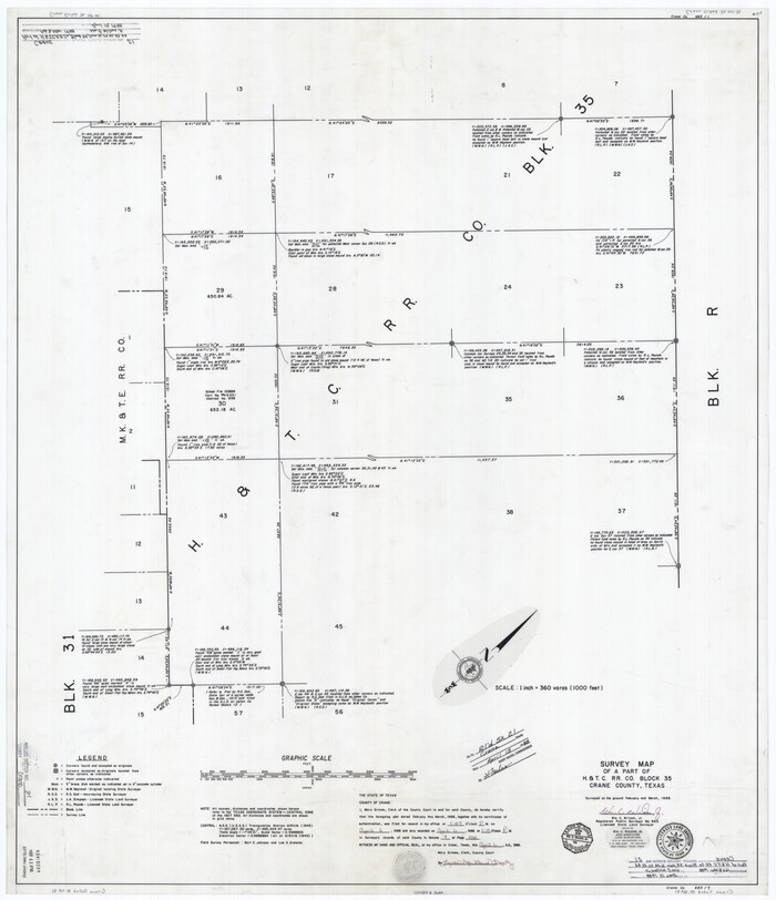
Crane County Rolled Sketch 21
1988

Crane County Rolled Sketch 22
1990

Crane County Rolled Sketch 23
2002
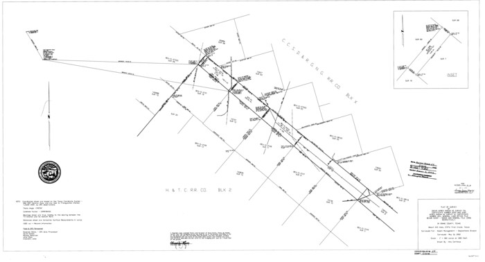
Crane County Rolled Sketch 24
2002

Crane County Rolled Sketch 25
2019
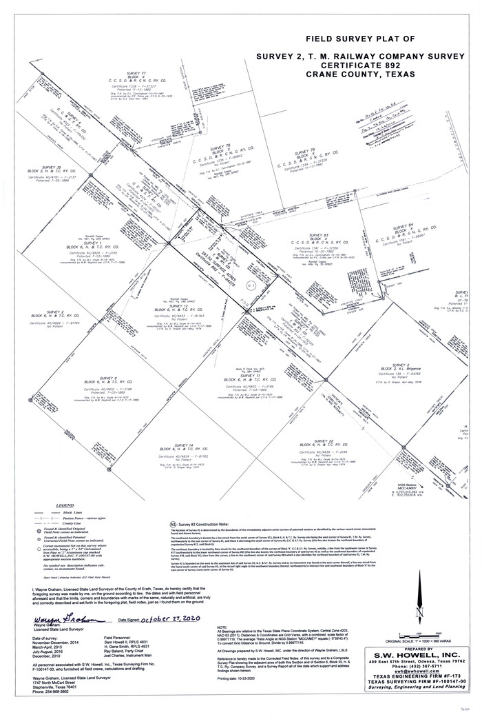
Crane County Rolled Sketch 26
2020
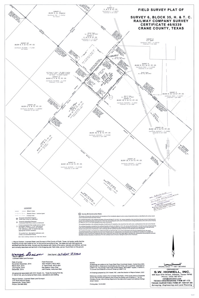
Crane County Rolled Sketch 27
2020

Andrews County Rolled Sketch 42
-
Size
27.3 x 36.0 inches
-
Map/Doc
77182

Crane Co.
1902
-
Size
46.4 x 35.4 inches
-
Map/Doc
4729
-
Creation Date
1902
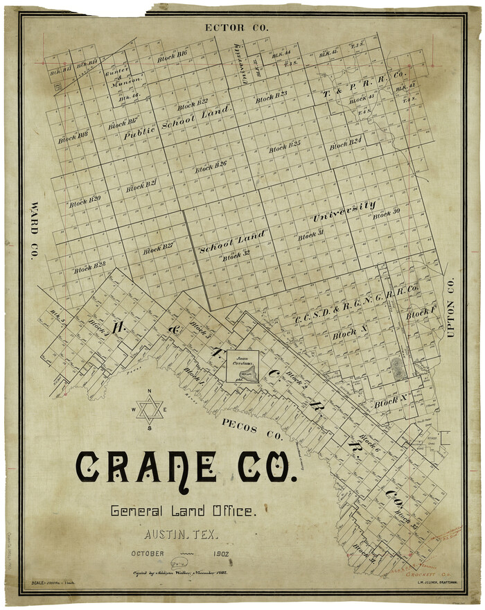
Crane Co.
1902
-
Size
44.6 x 35.0 inches
-
Map/Doc
4923
-
Creation Date
1902

Crane Co.
1902
-
Size
44.3 x 36.8 inches
-
Map/Doc
66790
-
Creation Date
1902
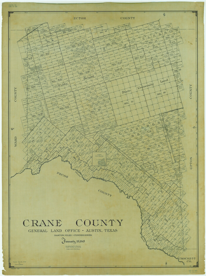
Crane County
1945
-
Size
46.9 x 35.0 inches
-
Map/Doc
1811
-
Creation Date
1945

Crane County
1890
-
Size
24.6 x 17.5 inches
-
Map/Doc
3455
-
Creation Date
1890

Crane County
1887
-
Size
31.3 x 25.4 inches
-
Map/Doc
3456
-
Creation Date
1887
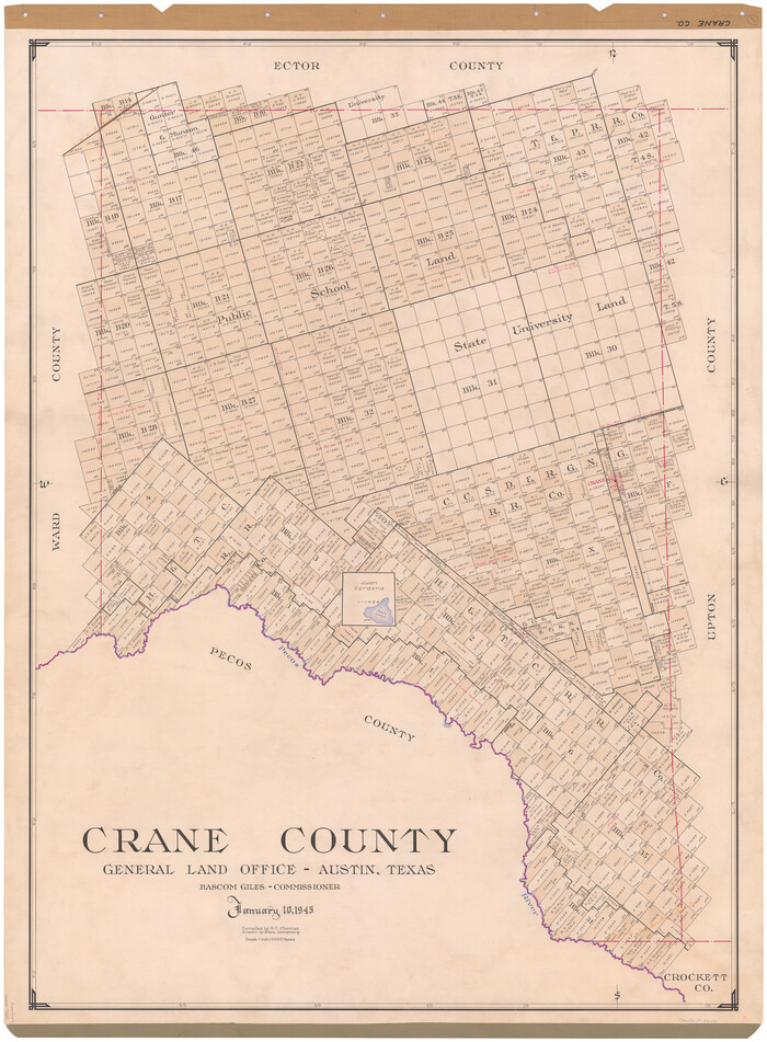
Crane County
1945
-
Size
46.7 x 34.5 inches
-
Map/Doc
73119
-
Creation Date
1945

Crane County
1945
-
Size
43.5 x 32.6 inches
-
Map/Doc
77251
-
Creation Date
1945
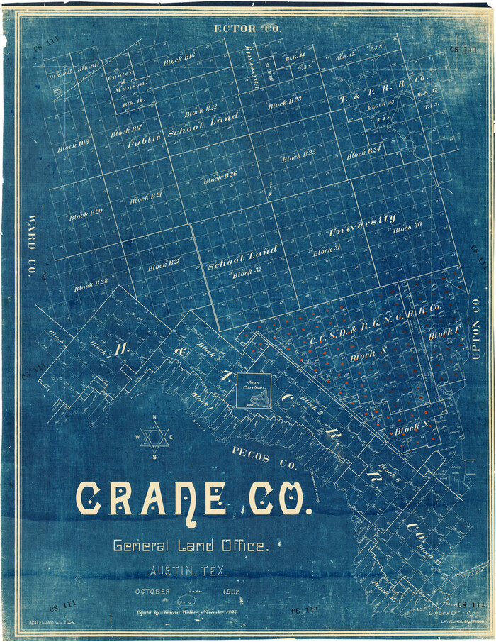
Crane County
1902
-
Size
34.7 x 44.5 inches
-
Map/Doc
92558
-
Creation Date
1902
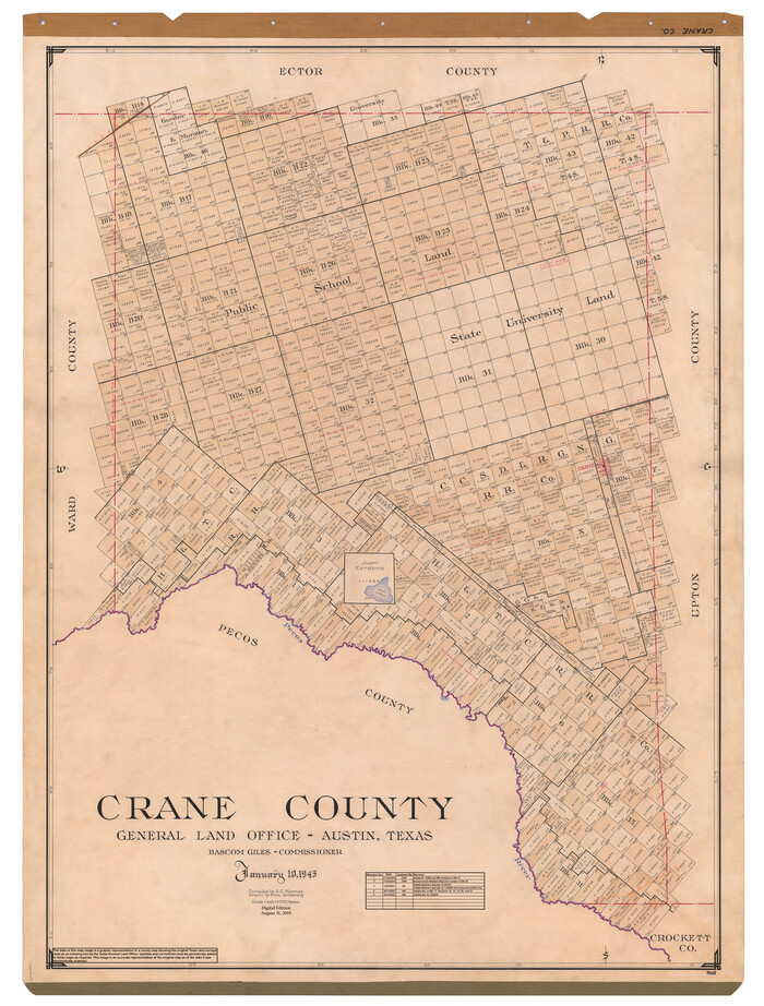
Crane County
1945
-
Size
47.0 x 34.6 inches
-
Map/Doc
95468
-
Creation Date
1945

Crane County Boundary File 1
-
Size
14.1 x 8.7 inches
-
Map/Doc
51957

Crane County Boundary File 1a
-
Size
14.2 x 8.7 inches
-
Map/Doc
51960

Crane County Boundary File 1b
-
Size
85.1 x 17.9 inches
-
Map/Doc
51969

Crane County Map of Unsurveyed School Lands for Bob Reid's Application to Lease
1946
-
Size
49.0 x 51.3 inches
-
Map/Doc
90466
-
Creation Date
1946

Crane County Rolled Sketch 13
1940
-
Size
42.4 x 23.3 inches
-
Map/Doc
5575
-
Creation Date
1940

Crane County Rolled Sketch 14
1935
-
Size
37.1 x 31.6 inches
-
Map/Doc
8680
-
Creation Date
1935

Crane County Rolled Sketch 15
1946
-
Size
27.2 x 49.5 inches
-
Map/Doc
8682
-
Creation Date
1946

Crane County Rolled Sketch 17
1926
-
Size
20.3 x 33.8 inches
-
Map/Doc
5576
-
Creation Date
1926

Crane County Rolled Sketch 18
1950
-
Size
37.8 x 37.2 inches
-
Map/Doc
8683
-
Creation Date
1950

Crane County Rolled Sketch 19
1926
-
Size
26.4 x 28.3 inches
-
Map/Doc
5577
-
Creation Date
1926

Crane County Rolled Sketch 2
1888
-
Size
55.3 x 29.0 inches
-
Map/Doc
8676
-
Creation Date
1888

Crane County Rolled Sketch 20
-
Size
44.5 x 34.6 inches
-
Map/Doc
8684

Crane County Rolled Sketch 21
1988
-
Size
42.5 x 36.6 inches
-
Map/Doc
8685
-
Creation Date
1988

Crane County Rolled Sketch 22
1990
-
Size
12.5 x 19.3 inches
-
Map/Doc
5578
-
Creation Date
1990

Crane County Rolled Sketch 23
2002
-
Size
23.9 x 34.3 inches
-
Map/Doc
76426
-
Creation Date
2002

Crane County Rolled Sketch 24
2002
-
Size
33.5 x 62.0 inches
-
Map/Doc
76427
-
Creation Date
2002

Crane County Rolled Sketch 25
2019
-
Size
36.2 x 23.8 inches
-
Map/Doc
95746
-
Creation Date
2019

Crane County Rolled Sketch 26
2020
-
Size
36.5 x 24.5 inches
-
Map/Doc
96432
-
Creation Date
2020

Crane County Rolled Sketch 27
2020
-
Size
36.3 x 24.3 inches
-
Map/Doc
96433
-
Creation Date
2020