[Young Territory]

Print $40.00
- Digital $50.00
[Young Territory]
1875
Size: 49.0 x 87.4 inches
16784
[West line of B. & B. Block 1]
Print $20.00
- Digital $50.00
[West line of B. & B. Block 1]
Size: 12.7 x 15.2 inches
90584
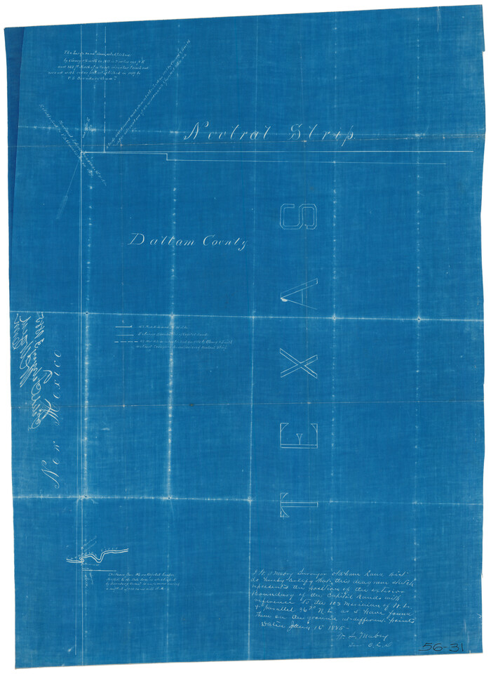
[West and North lines of the Panhandle]
Print $20.00
- Digital $50.00
[West and North lines of the Panhandle]
1885
Size: 22.0 x 32.1 inches
90576
[Washington County RR. Co. Block 1 and Cherokee Iron Furnace Co. Block 1]
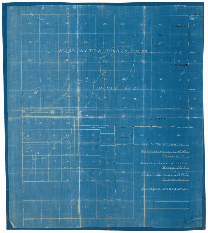
Print $20.00
- Digital $50.00
[Washington County RR. Co. Block 1 and Cherokee Iron Furnace Co. Block 1]
1911
Size: 22.4 x 25.4 inches
92065
[T. & N. O. RR. Block 1T]
Print $20.00
- Digital $50.00
[T. & N. O. RR. Block 1T]
Size: 14.9 x 20.0 inches
91902
[Surveying Sketch of T. & N. O. R. R. Co., S. P. R. R. Co., E. T. R. R. Co., et al in Dallam, Hartley, Sherman & Moore Counties, Texas]
Print $20.00
- Digital $50.00
[Surveying Sketch of T. & N. O. R. R. Co., S. P. R. R. Co., E. T. R. R. Co., et al in Dallam, Hartley, Sherman & Moore Counties, Texas]
Size: 17.5 x 22.1 inches
75824
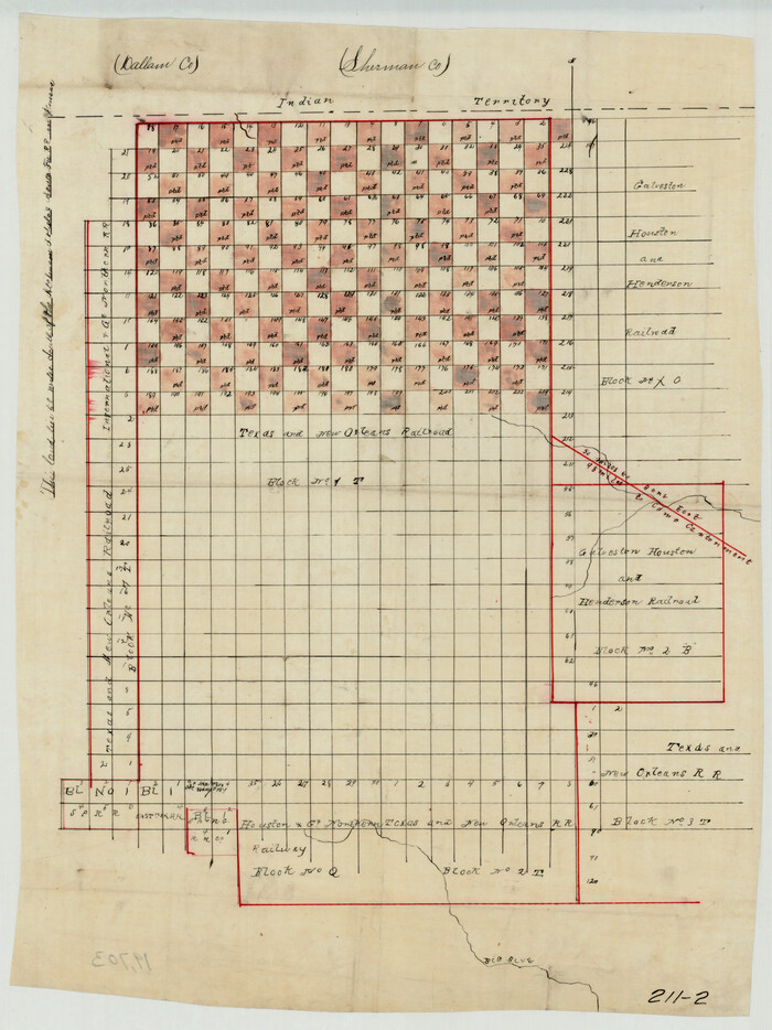
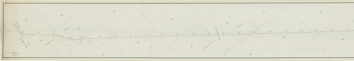
[Strip map showing F. W. & D. C. RR. line from New Mexico border to Dallam-Hartley County Line]
Print $40.00
- Digital $50.00
[Strip map showing F. W. & D. C. RR. line from New Mexico border to Dallam-Hartley County Line]
Size: 105.5 x 20.9 inches
93147
[Sketch showing counties along Texas-New Mexico border]
Print $3.00
- Digital $50.00
[Sketch showing counties along Texas-New Mexico border]
Size: 11.0 x 16.7 inches
91986
[Sketch showing counties along Texas-New Mexico border]
Print $20.00
- Digital $50.00
[Sketch showing counties along Texas-New Mexico border]
Size: 12.4 x 17.5 inches
91987
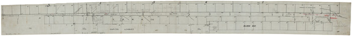
[Sketch showing H. & T. C. R. R. Co. Blk. 48, S. P. R. R. Co. Blk. I, and E. T. R. R. Co. Blk. I]

Print $40.00
- Digital $50.00
[Sketch showing H. & T. C. R. R. Co. Blk. 48, S. P. R. R. Co. Blk. I, and E. T. R. R. Co. Blk. I]
Size: 51.1 x 9.4 inches
89625
[Sketch showing H. & T. C. R. R. Co. Blk. 48, S. P. R. R. Co. Blk. I, and E. T. R. R. Co. Blk. I]
Print $40.00
- Digital $50.00
[Sketch showing H. & T. C. R. R. Co. Blk. 48, S. P. R. R. Co. Blk. I, and E. T. R. R. Co. Blk. I]
Size: 51.4 x 9.2 inches
89647
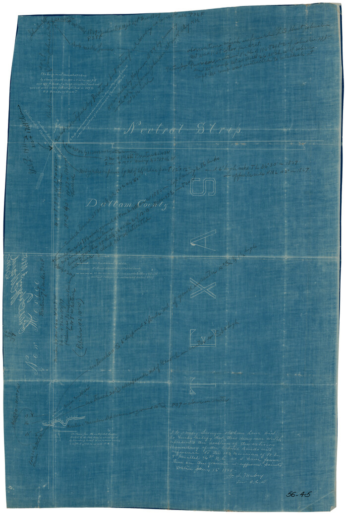
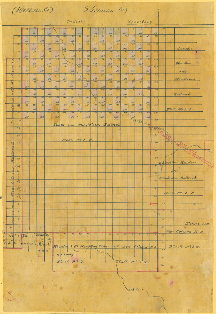
[Sketch Showing Railroad land surveys in Dallam & Sherman Counties, Texas]
Print $20.00
- Digital $50.00
[Sketch Showing Railroad land surveys in Dallam & Sherman Counties, Texas]
Size: 19.4 x 13.4 inches
75786
[Showing west and north line of County]
Print $20.00
- Digital $50.00
[Showing west and north line of County]
1885
Size: 21.3 x 29.0 inches
90652
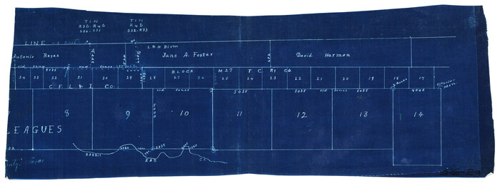
[Part of Block 3, Leagues 83, 84, 95, 96, 104, 105, 116-113, 127-132, 140-142]
Print $20.00
- Digital $50.00
[Part of Block 3, Leagues 83, 84, 95, 96, 104, 105, 116-113, 127-132, 140-142]
Size: 25.9 x 31.6 inches
90572
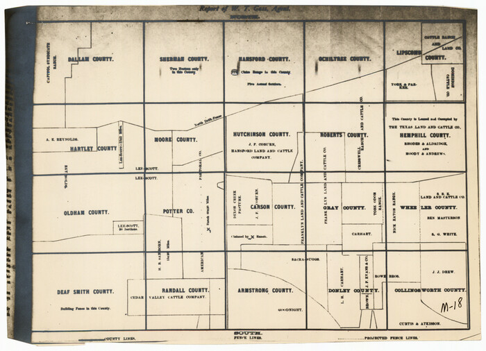
[Panhandle Counties]
Print $2.00
- Digital $50.00
[Panhandle Counties]
1885
Size: 12.6 x 8.9 inches
92066
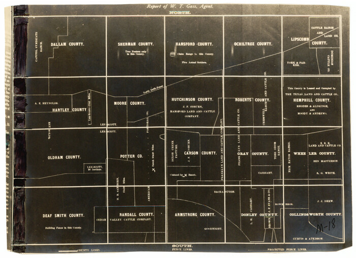
[Panhandle Counties]
Print $2.00
- Digital $50.00
[Panhandle Counties]
Size: 12.3 x 9.1 inches
92067
[PSL Block 1 along State line]
Print $2.00
- Digital $50.00
[PSL Block 1 along State line]
Size: 14.1 x 8.0 inches
90579
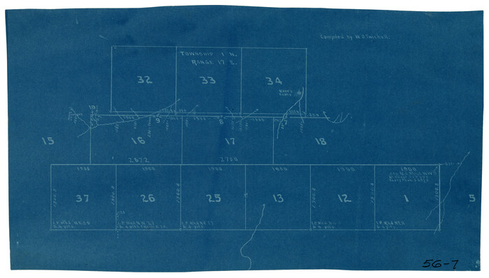
[North line of T. C. RR. Blk on North County Line]
Print $2.00
- Digital $50.00
[North line of T. C. RR. Blk on North County Line]
Size: 13.7 x 5.1 inches
90516
[North line of County]

Print $40.00
- Digital $50.00
[North line of County]
Size: 120.1 x 7.0 inches
93142
[North line of County]
Print $40.00
- Digital $50.00
[North line of County]
Size: 76.2 x 8.6 inches
93146
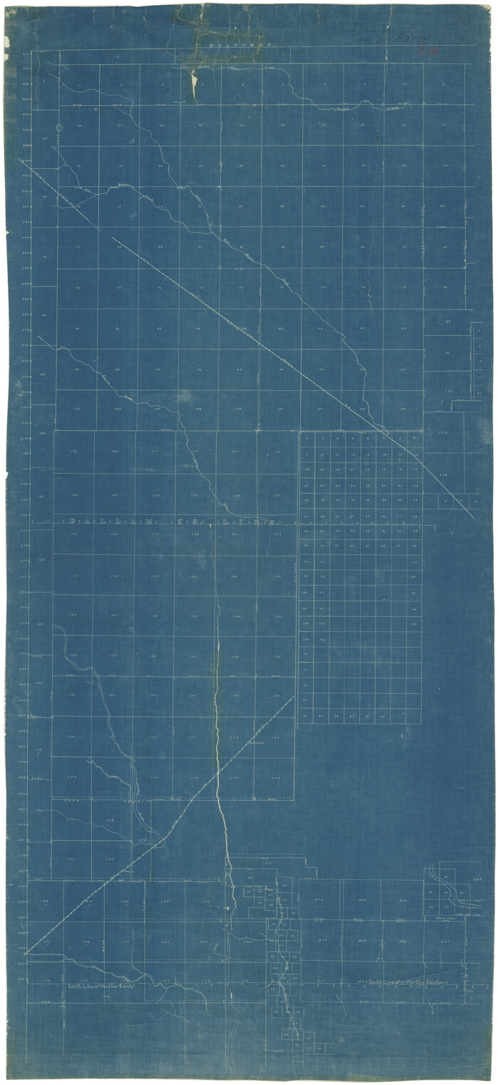
[Map showing resurvey of Capitol Leagues in Hartley & Dallam Counties, Texas]
Print $40.00
- Digital $50.00
[Map showing resurvey of Capitol Leagues in Hartley & Dallam Counties, Texas]
1918
Size: 66.9 x 31.0 inches
1753
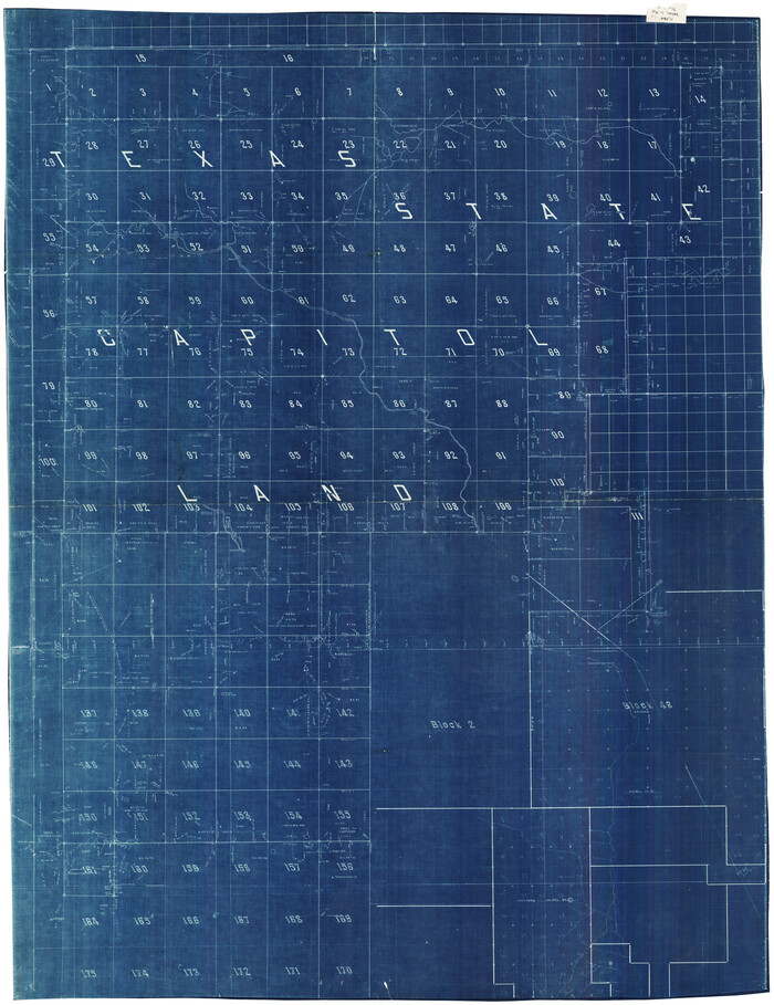
[Map showing State Capitol Lands]
Print $40.00
- Digital $50.00
[Map showing State Capitol Lands]
Size: 50.6 x 65.3 inches
93143
[Map showing State Capitol Lands]

Print $40.00
- Digital $50.00
[Map showing State Capitol Lands]
Size: 50.9 x 65.8 inches
93145
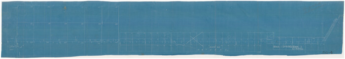
[Map of the Fort Worth & Denver City Ry., Dallam County, Texas]
Print $40.00
- Digital $50.00
[Map of the Fort Worth & Denver City Ry., Dallam County, Texas]
1887
Size: 21.1 x 121.0 inches
64351
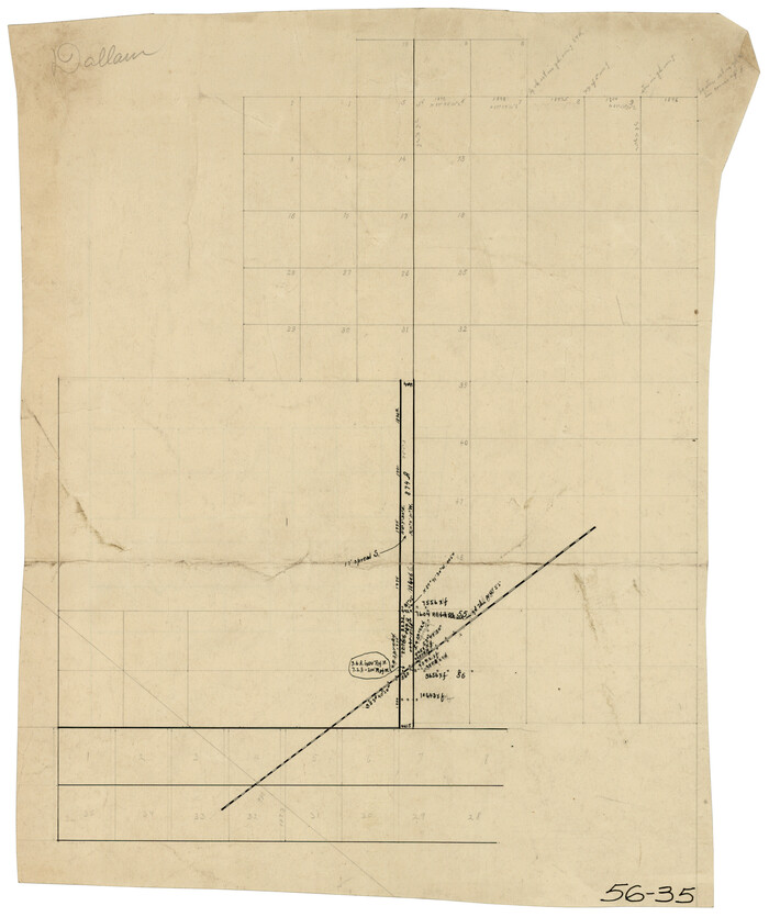
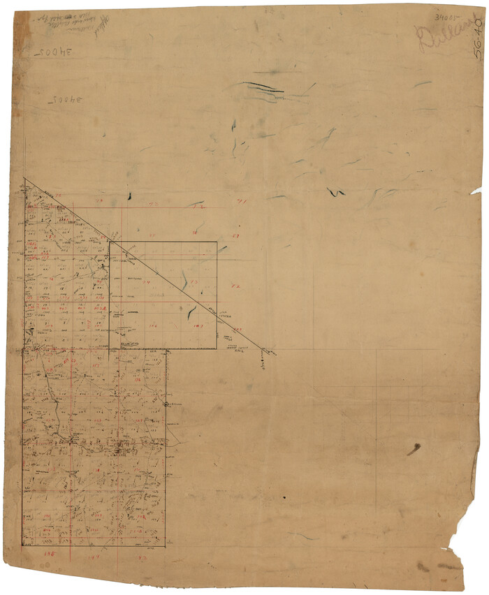
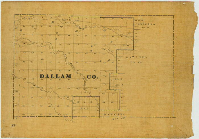
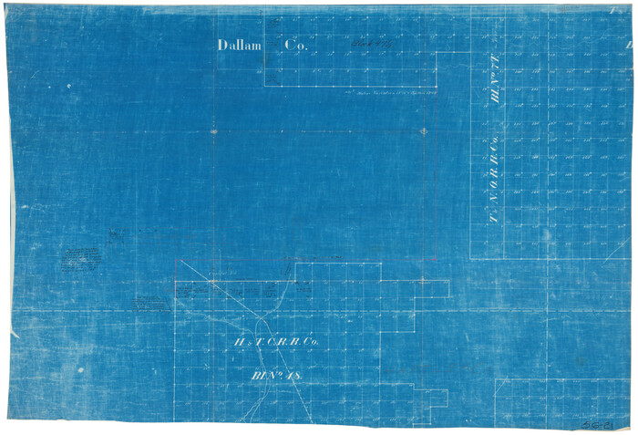
[Map of Surveys in Dallam, Texas]
Print $20.00
- Digital $50.00
[Map of Surveys in Dallam, Texas]
1910
Size: 19.5 x 27.8 inches
1768
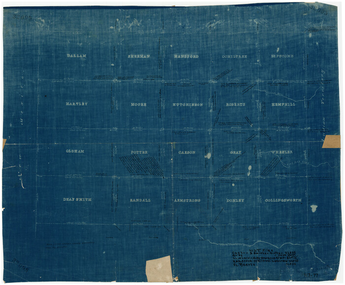
[Map of Panhandle Counties]
Print $20.00
- Digital $50.00
[Map of Panhandle Counties]
Size: 27.4 x 22.9 inches
91170
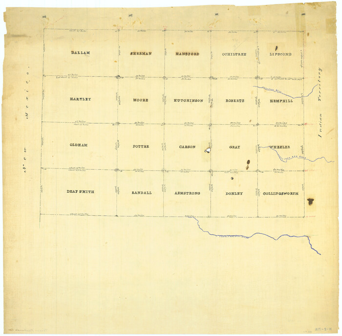
[Map Showing Panhandle Counties in Texas]
Print $20.00
- Digital $50.00
[Map Showing Panhandle Counties in Texas]
1876
Size: 27.3 x 27.9 inches
2087
[H. & T. C. RR. Co. Block 48 and vicinity]
Print $20.00
- Digital $50.00
[H. & T. C. RR. Co. Block 48 and vicinity]
Size: 35.4 x 24.4 inches
90647
[Young Territory]
Print $40.00
- Digital $50.00
[Young Territory]
1875
-
Size
49.0 x 87.4 inches
-
Map/Doc
16784
-
Creation Date
1875
[West line of B. & B. Block 1]
Print $20.00
- Digital $50.00
[West line of B. & B. Block 1]
-
Size
12.7 x 15.2 inches
-
Map/Doc
90584
[West and North lines of the Panhandle]
Print $20.00
- Digital $50.00
[West and North lines of the Panhandle]
1885
-
Size
22.0 x 32.1 inches
-
Map/Doc
90576
-
Creation Date
1885
[Washington County RR. Co. Block 1 and Cherokee Iron Furnace Co. Block 1]
Print $20.00
- Digital $50.00
[Washington County RR. Co. Block 1 and Cherokee Iron Furnace Co. Block 1]
1911
-
Size
22.4 x 25.4 inches
-
Map/Doc
92065
-
Creation Date
1911
[T. & N. O. RR. Block 1T]
Print $20.00
- Digital $50.00
[T. & N. O. RR. Block 1T]
-
Size
14.9 x 20.0 inches
-
Map/Doc
91902
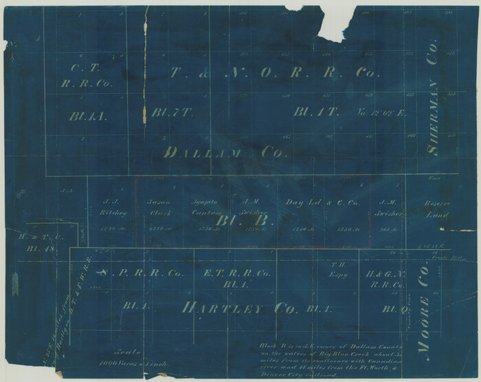
[Surveying Sketch of T. & N. O. R. R. Co., S. P. R. R. Co., E. T. R. R. Co., et al in Dallam, Hartley, Sherman & Moore Counties, Texas]
Print $20.00
- Digital $50.00
[Surveying Sketch of T. & N. O. R. R. Co., S. P. R. R. Co., E. T. R. R. Co., et al in Dallam, Hartley, Sherman & Moore Counties, Texas]
-
Size
17.5 x 22.1 inches
-
Map/Doc
75824
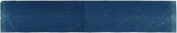
[Strip map showing F. W. & D. C. RR. line from New Mexico border to Dallam-Hartley County Line]
Print $40.00
- Digital $50.00
[Strip map showing F. W. & D. C. RR. line from New Mexico border to Dallam-Hartley County Line]
-
Size
105.5 x 20.9 inches
-
Map/Doc
93147
[Sketch showing counties along Texas-New Mexico border]
Print $3.00
- Digital $50.00
[Sketch showing counties along Texas-New Mexico border]
-
Size
11.0 x 16.7 inches
-
Map/Doc
91986
[Sketch showing counties along Texas-New Mexico border]
Print $20.00
- Digital $50.00
[Sketch showing counties along Texas-New Mexico border]
-
Size
12.4 x 17.5 inches
-
Map/Doc
91987
[Sketch showing H. & T. C. R. R. Co. Blk. 48, S. P. R. R. Co. Blk. I, and E. T. R. R. Co. Blk. I]
Print $40.00
- Digital $50.00
[Sketch showing H. & T. C. R. R. Co. Blk. 48, S. P. R. R. Co. Blk. I, and E. T. R. R. Co. Blk. I]
-
Size
51.1 x 9.4 inches
-
Map/Doc
89625
[Sketch showing H. & T. C. R. R. Co. Blk. 48, S. P. R. R. Co. Blk. I, and E. T. R. R. Co. Blk. I]
Print $40.00
- Digital $50.00
[Sketch showing H. & T. C. R. R. Co. Blk. 48, S. P. R. R. Co. Blk. I, and E. T. R. R. Co. Blk. I]
-
Size
51.4 x 9.2 inches
-
Map/Doc
89647
[Sketch Showing Railroad land surveys in Dallam & Sherman Counties, Texas]
Print $20.00
- Digital $50.00
[Sketch Showing Railroad land surveys in Dallam & Sherman Counties, Texas]
-
Size
19.4 x 13.4 inches
-
Map/Doc
75786
[Showing west and north line of County]
Print $20.00
- Digital $50.00
[Showing west and north line of County]
1885
-
Size
21.3 x 29.0 inches
-
Map/Doc
90652
-
Creation Date
1885
[Part of Block 3, Leagues 83, 84, 95, 96, 104, 105, 116-113, 127-132, 140-142]
Print $20.00
- Digital $50.00
[Part of Block 3, Leagues 83, 84, 95, 96, 104, 105, 116-113, 127-132, 140-142]
-
Size
25.9 x 31.6 inches
-
Map/Doc
90572
[Panhandle Counties]
Print $2.00
- Digital $50.00
[Panhandle Counties]
1885
-
Size
12.6 x 8.9 inches
-
Map/Doc
92066
-
Creation Date
1885
[Panhandle Counties]
Print $2.00
- Digital $50.00
[Panhandle Counties]
-
Size
12.3 x 9.1 inches
-
Map/Doc
92067
[PSL Block 1 along State line]
Print $2.00
- Digital $50.00
[PSL Block 1 along State line]
-
Size
14.1 x 8.0 inches
-
Map/Doc
90579
[North line of T. C. RR. Blk on North County Line]
Print $2.00
- Digital $50.00
[North line of T. C. RR. Blk on North County Line]
-
Size
13.7 x 5.1 inches
-
Map/Doc
90516
[North line of County]
Print $40.00
- Digital $50.00
[North line of County]
-
Size
120.1 x 7.0 inches
-
Map/Doc
93142
[North line of County]
Print $40.00
- Digital $50.00
[North line of County]
-
Size
76.2 x 8.6 inches
-
Map/Doc
93146
[North County Line]
![90521, [North County Line], Twichell Survey Records](https://historictexasmaps.com/wmedia_w700/maps/90521-1.tif.jpg)
Print $3.00
- Digital $50.00
[North County Line]
-
Size
17.3 x 6.6 inches
-
Map/Doc
90521
[North County Line]
![90522, [North County Line], Twichell Survey Records](https://historictexasmaps.com/wmedia_w700/maps/90522-1.tif.jpg)
Print $20.00
- Digital $50.00
[North County Line]
-
Size
18.5 x 7.0 inches
-
Map/Doc
90522
[Map showing resurvey of Capitol Leagues in Hartley & Dallam Counties, Texas]
Print $40.00
- Digital $50.00
[Map showing resurvey of Capitol Leagues in Hartley & Dallam Counties, Texas]
1918
-
Size
66.9 x 31.0 inches
-
Map/Doc
1753
-
Creation Date
1918
[Map showing State Capitol Lands]
Print $40.00
- Digital $50.00
[Map showing State Capitol Lands]
-
Size
50.6 x 65.3 inches
-
Map/Doc
93143
[Map showing State Capitol Lands]
Print $40.00
- Digital $50.00
[Map showing State Capitol Lands]
-
Size
50.9 x 65.8 inches
-
Map/Doc
93145
[Map of the Fort Worth & Denver City Ry., Dallam County, Texas]
Print $40.00
- Digital $50.00
[Map of the Fort Worth & Denver City Ry., Dallam County, Texas]
1887
-
Size
21.1 x 121.0 inches
-
Map/Doc
64351
-
Creation Date
1887
[Map of Surveys in Dallam, Texas]
Print $20.00
- Digital $50.00
[Map of Surveys in Dallam, Texas]
1910
-
Size
19.5 x 27.8 inches
-
Map/Doc
1768
-
Creation Date
1910
[Map of Panhandle Counties]
Print $20.00
- Digital $50.00
[Map of Panhandle Counties]
-
Size
27.4 x 22.9 inches
-
Map/Doc
91170
[Map Showing Panhandle Counties in Texas]
Print $20.00
- Digital $50.00
[Map Showing Panhandle Counties in Texas]
1876
-
Size
27.3 x 27.9 inches
-
Map/Doc
2087
-
Creation Date
1876
[H. & T. C. RR. Co. Block 48 and vicinity]
Print $20.00
- Digital $50.00
[H. & T. C. RR. Co. Block 48 and vicinity]
-
Size
35.4 x 24.4 inches
-
Map/Doc
90647