[Map showing resurvey of Capitol Leagues in Hartley & Dallam Counties, Texas]
N-2-37
-
Map/Doc
1753
-
Collection
General Map Collection
-
Object Dates
1918 (Creation Date)
10/26/1918 (File Date)
-
People and Organizations
Behn Cook (Surveyor/Engineer)
R.S. Hunnicut (Surveyor/Engineer)
-
Counties
Hartley Dallam
-
Height x Width
66.9 x 31.0 inches
169.9 x 78.7 cm
Part of: General Map Collection
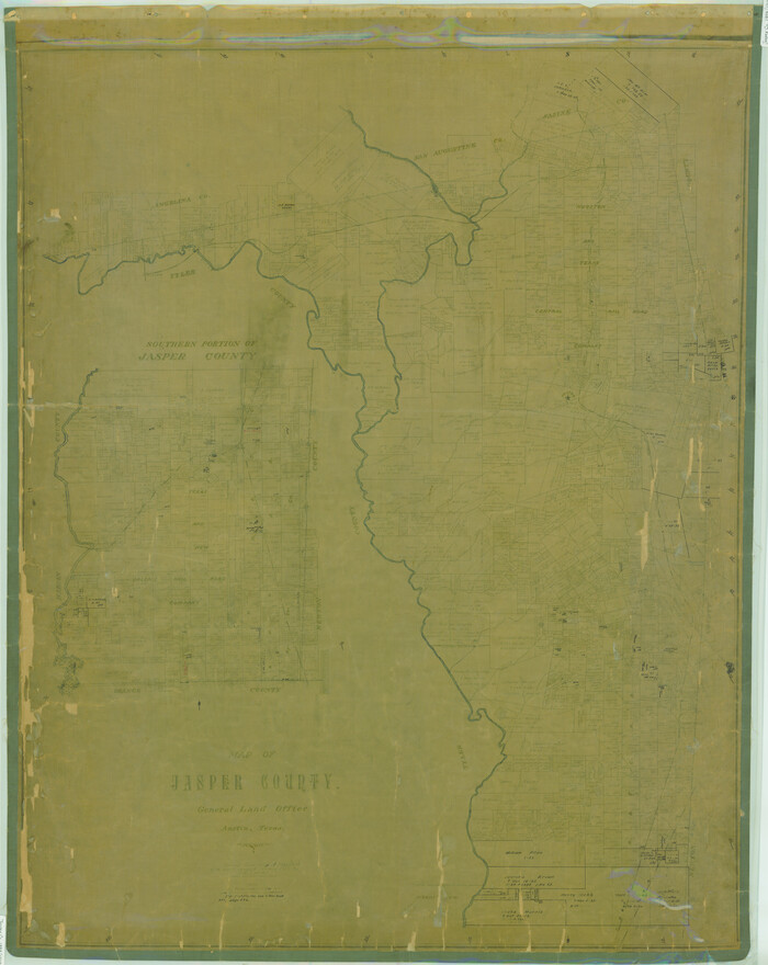
Map of Jasper County

Print $40.00
- Digital $50.00
Map of Jasper County
1918
Size 50.0 x 39.8 inches
Map/Doc 78408
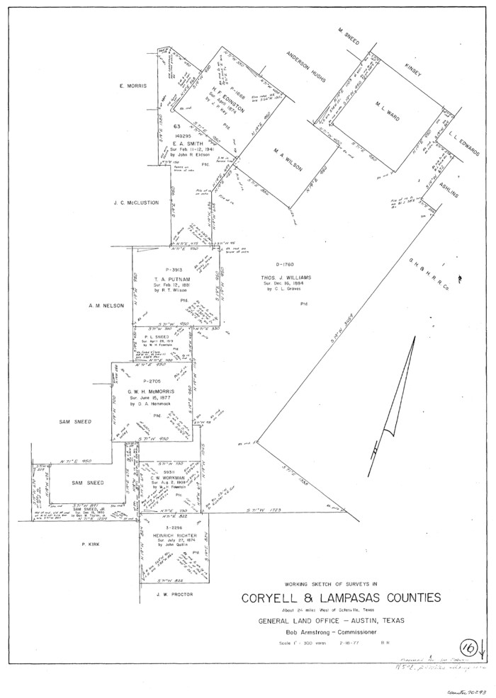
Lampasas County Working Sketch 16

Print $20.00
- Digital $50.00
Lampasas County Working Sketch 16
1977
Size 27.6 x 19.6 inches
Map/Doc 70293
Real County Sketch File 18


Print $28.00
- Digital $50.00
Real County Sketch File 18
1964
Size 14.3 x 8.9 inches
Map/Doc 35076
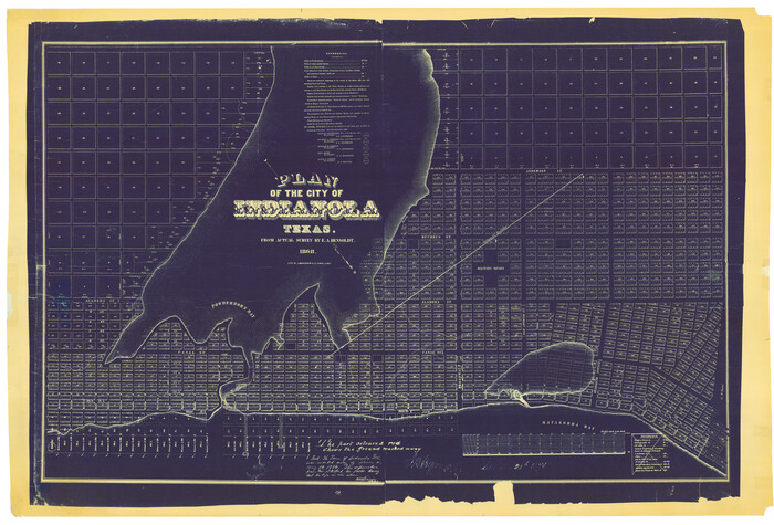
Plan of the City of Indianola, Texas

Print $40.00
- Digital $50.00
Plan of the City of Indianola, Texas
1868
Size 37.5 x 55.3 inches
Map/Doc 4835
Ochiltree County Boundary File 7


Print $20.00
- Digital $50.00
Ochiltree County Boundary File 7
Size 36.1 x 9.3 inches
Map/Doc 57715
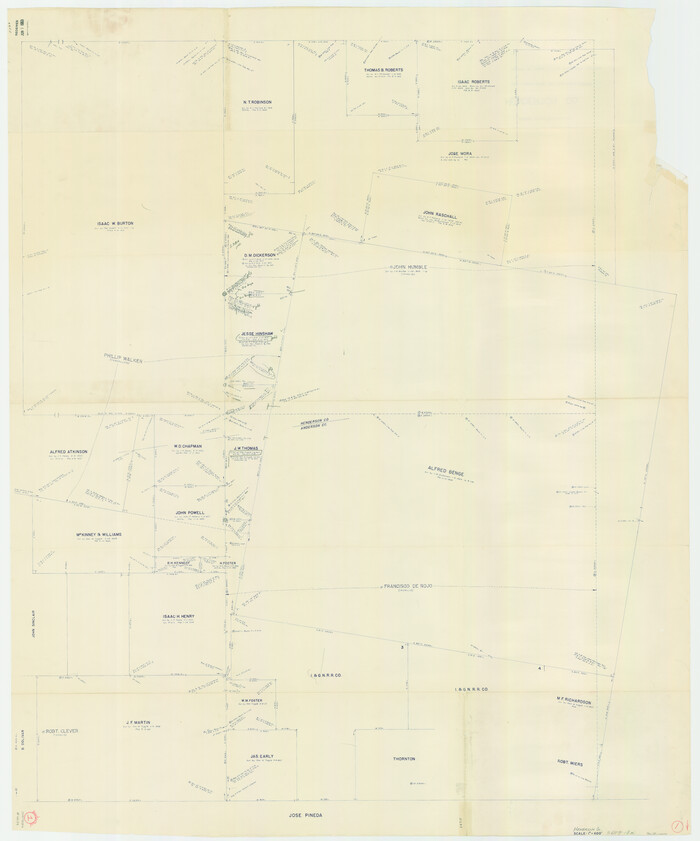
Henderson County Working Sketch 1

Print $40.00
- Digital $50.00
Henderson County Working Sketch 1
Size 52.6 x 43.8 inches
Map/Doc 66134
Garza County Working Sketch 3


Print $20.00
- Digital $50.00
Garza County Working Sketch 3
1919
Size 13.8 x 14.0 inches
Map/Doc 63150
Polk County Sketch File 2
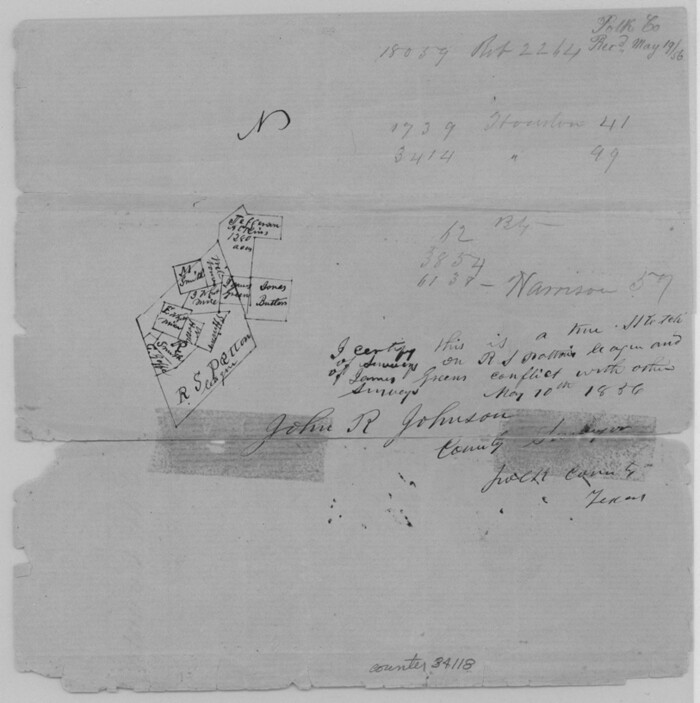

Print $4.00
- Digital $50.00
Polk County Sketch File 2
1856
Size 8.2 x 8.1 inches
Map/Doc 34118
Cooke County Working Sketch 14


Print $40.00
- Digital $50.00
Cooke County Working Sketch 14
1944
Size 34.1 x 49.7 inches
Map/Doc 68251
El Paso County Working Sketch 52
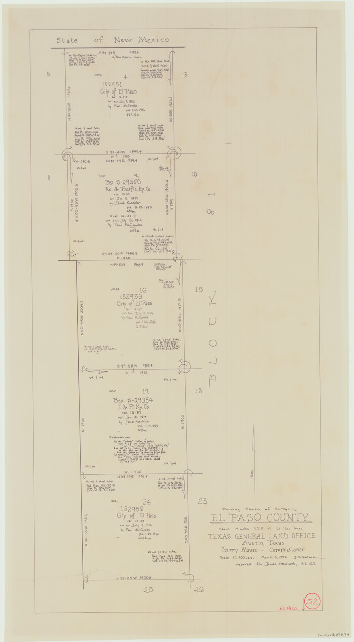

Print $20.00
- Digital $50.00
El Paso County Working Sketch 52
1992
Size 29.1 x 16.1 inches
Map/Doc 69074
Reeves County Rolled Sketch 15
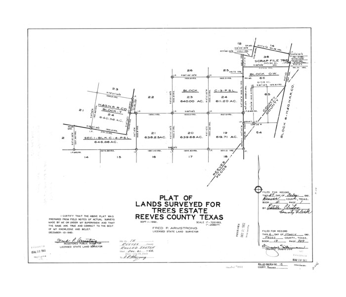

Print $20.00
- Digital $50.00
Reeves County Rolled Sketch 15
1960
Size 21.6 x 25.2 inches
Map/Doc 7484
You may also like
Flight Mission No. DIX-6P, Frame 128, Aransas County


Print $20.00
- Digital $50.00
Flight Mission No. DIX-6P, Frame 128, Aransas County
1956
Size 19.2 x 22.6 inches
Map/Doc 83834
Sutton County Working Sketch 42
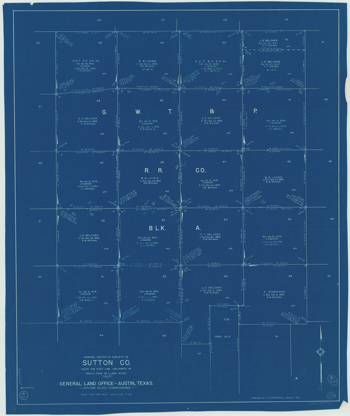

Print $20.00
- Digital $50.00
Sutton County Working Sketch 42
1950
Size 34.5 x 29.1 inches
Map/Doc 62385
Calhoun County Working Sketch 3

Print $20.00
- Digital $50.00
Calhoun County Working Sketch 3
1923
Size 18.4 x 42.4 inches
Map/Doc 67819
Sutton County Working Sketch 1

Print $20.00
- Digital $50.00
Sutton County Working Sketch 1
1968
Size 31.1 x 30.6 inches
Map/Doc 62344
Denton County Sketch File 41

Print $6.00
- Digital $50.00
Denton County Sketch File 41
1883
Size 12.8 x 8.5 inches
Map/Doc 20789
San Patricio County Sketch File 35

Print $16.00
- Digital $50.00
San Patricio County Sketch File 35
1917
Size 14.5 x 8.8 inches
Map/Doc 36121
Coryell County Boundary File 2


Print $4.00
- Digital $50.00
Coryell County Boundary File 2
Size 5.6 x 8.2 inches
Map/Doc 51905
Flight Mission No. BRA-6M, Frame 143, Jefferson County

Print $20.00
- Digital $50.00
Flight Mission No. BRA-6M, Frame 143, Jefferson County
1953
Size 18.5 x 22.2 inches
Map/Doc 85444
Fort Bend County Rolled Sketch 6

Print $20.00
- Digital $50.00
Fort Bend County Rolled Sketch 6
1956
Size 39.6 x 34.8 inches
Map/Doc 5896
Shelby County Working Sketch 33

Print $20.00
- Digital $50.00
Shelby County Working Sketch 33
2008
Size 23.6 x 27.5 inches
Map/Doc 88886
The Republic County of Bowie. Created, December 17, 1840


Print $20.00
The Republic County of Bowie. Created, December 17, 1840
2020
Size 19.5 x 21.7 inches
Map/Doc 96102
Parker County Sketch File 42


Print $114.00
- Digital $50.00
Parker County Sketch File 42
1877
Size 14.4 x 12.0 inches
Map/Doc 33589
![1753, [Map showing resurvey of Capitol Leagues in Hartley & Dallam Counties, Texas], General Map Collection](https://historictexasmaps.com/wmedia_w1800h1800/maps/1753-1.tif.jpg)
