
Delta County Sketch File 6
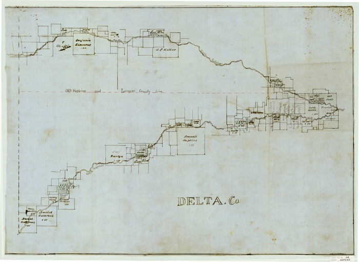
Hopkins County Sketch File 28

Delta County Sketch File 1
1871

Delta County Sketch File 1a

Delta County Sketch File 2
1871

Delta County Sketch File 3

Delta County Sketch File 4
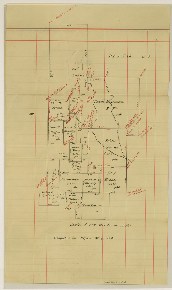
Delta County Sketch File 5
1886

Fannin County Sketch File 8

Hopkins County Sketch File 7

Hopkins County Sketch File 17
1870

Delta County, Texas
1884

Hopkins County Sketch File 4

Delta County Working Sketch 4

Levee Improvement Districts Widths of Floodways - Sulphur River and Cuthand Creek
1924

Sulphur River, Ringo Crossing Sheet
1933

North and South Sulphur Rivers, Sulphur Bluff Sheet
1933
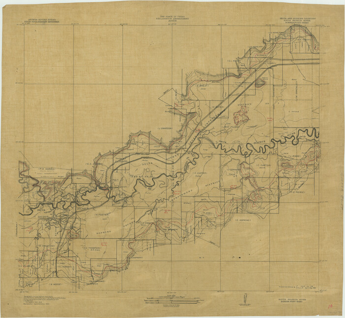
South Sulphur River, Bonner Point Sheet
1922
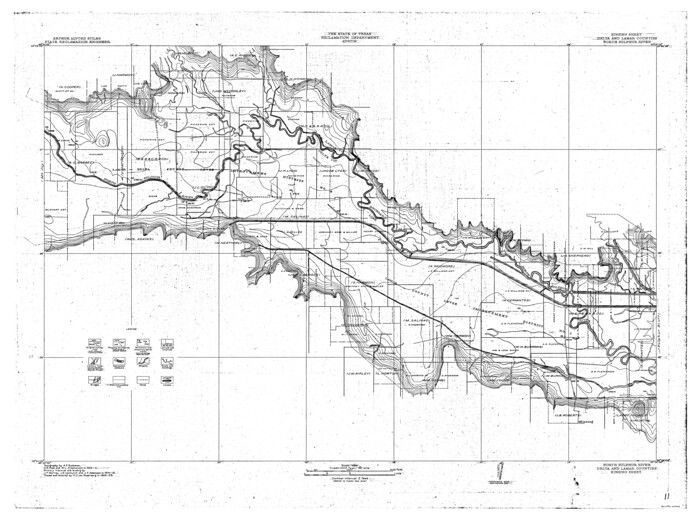
North Sulphur River, Kinsing Sheet
1925
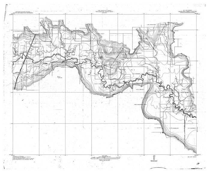
North Sulphur River, Mt. Joy Sheet
1926

North Sulphur River, Sims Crossing Sheet
1924

South Sulphur River, Charleston Sheet
1924

South Sulphur River, Harpers Crossing Sheet
1925
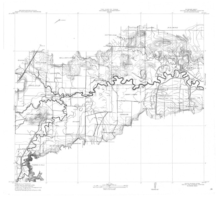
South Sulphur River, Klondike Sheet
1925

Middle Sulphur and South Sulphur Rivers, Horton Sheet
1925
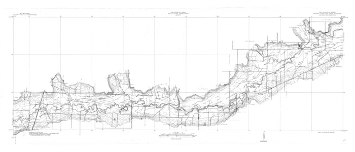
North Sulphur River, Ben Franklin Sheet
1928

Delta County Sketch File 6
-
Size
18.3 x 22.4 inches
-
Map/Doc
11310

Hopkins County Sketch File 28
-
Size
24.8 x 34.0 inches
-
Map/Doc
11786

Delta County Sketch File 1
1871
-
Size
12.7 x 8.1 inches
-
Map/Doc
20666
-
Creation Date
1871

Delta County Sketch File 1a
-
Size
8.3 x 8.9 inches
-
Map/Doc
20668

Delta County Sketch File 2
1871
-
Size
8.4 x 13.2 inches
-
Map/Doc
20670
-
Creation Date
1871

Delta County Sketch File 3
-
Size
10.2 x 12.6 inches
-
Map/Doc
20672

Delta County Sketch File 4
-
Size
10.9 x 7.3 inches
-
Map/Doc
20674

Delta County Sketch File 5
1886
-
Size
14.6 x 8.6 inches
-
Map/Doc
20676
-
Creation Date
1886

Fannin County Sketch File 8
-
Size
8.7 x 13.3 inches
-
Map/Doc
22453

Hopkins County Sketch File 7
-
Size
10.4 x 6.1 inches
-
Map/Doc
26692

Hopkins County Sketch File 17
1870
-
Size
7.8 x 8.0 inches
-
Map/Doc
26720
-
Creation Date
1870
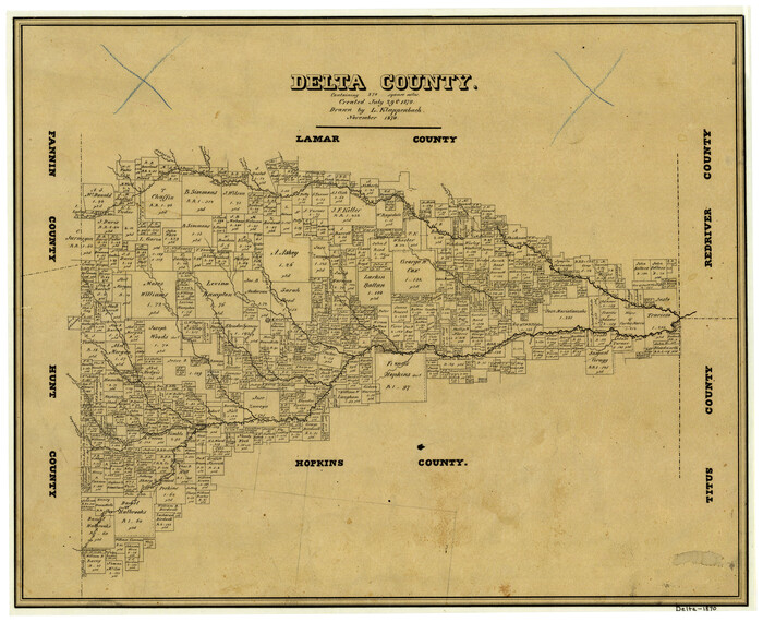
Delta County
1870
-
Size
15.2 x 18.8 inches
-
Map/Doc
3472
-
Creation Date
1870

Delta County
1889
-
Size
27.9 x 36.4 inches
-
Map/Doc
3473
-
Creation Date
1889

Delta County, Texas
1884
-
Size
14.1 x 20.0 inches
-
Map/Doc
416
-
Creation Date
1884

Delta County
1870
-
Size
13.3 x 17.3 inches
-
Map/Doc
4528
-
Creation Date
1870

Hopkins County Sketch File 4
-
Size
21.2 x 18.4 inches
-
Map/Doc
4565

Delta Co.
1889
-
Size
29.2 x 38.3 inches
-
Map/Doc
4931
-
Creation Date
1889

Delta County Working Sketch 4
-
Size
16.8 x 21.1 inches
-
Map/Doc
62179

Levee Improvement Districts Widths of Floodways - Sulphur River and Cuthand Creek
1924
-
Size
15.4 x 38.6 inches
-
Map/Doc
65155
-
Creation Date
1924

Sulphur River, Ringo Crossing Sheet
1933
-
Size
30.5 x 35.9 inches
-
Map/Doc
65162
-
Creation Date
1933

North and South Sulphur Rivers, Sulphur Bluff Sheet
1933
-
Size
37.6 x 37.2 inches
-
Map/Doc
65163
-
Creation Date
1933

South Sulphur River, Bonner Point Sheet
1922
-
Size
32.9 x 35.7 inches
-
Map/Doc
65164
-
Creation Date
1922

North Sulphur River, Kinsing Sheet
1925
-
Size
30.5 x 40.8 inches
-
Map/Doc
65165
-
Creation Date
1925

North Sulphur River, Mt. Joy Sheet
1926
-
Size
33.7 x 40.9 inches
-
Map/Doc
65166
-
Creation Date
1926

North Sulphur River, Sims Crossing Sheet
1924
-
Size
23.4 x 39.9 inches
-
Map/Doc
65167
-
Creation Date
1924

South Sulphur River, Charleston Sheet
1924
-
Size
29.4 x 29.5 inches
-
Map/Doc
65168
-
Creation Date
1924

South Sulphur River, Harpers Crossing Sheet
1925
-
Size
42.2 x 29.2 inches
-
Map/Doc
65169
-
Creation Date
1925

South Sulphur River, Klondike Sheet
1925
-
Size
32.2 x 35.5 inches
-
Map/Doc
65170
-
Creation Date
1925

Middle Sulphur and South Sulphur Rivers, Horton Sheet
1925
-
Size
42.2 x 40.3 inches
-
Map/Doc
65171
-
Creation Date
1925

North Sulphur River, Ben Franklin Sheet
1928
-
Size
24.6 x 57.4 inches
-
Map/Doc
65172
-
Creation Date
1928