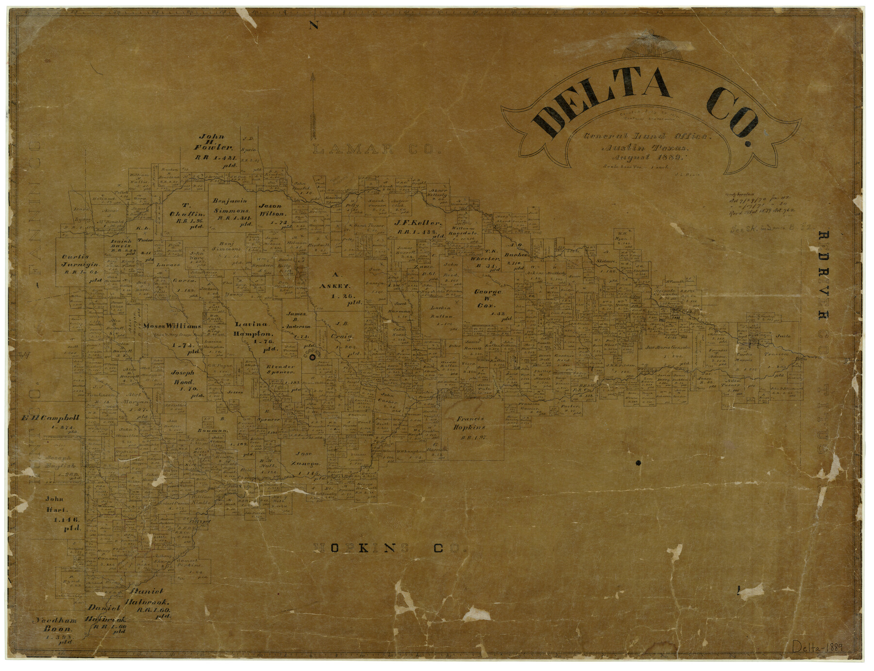
Delta County
-
Map/Doc
3473
-
Collection
General Map Collection
-
Object Dates
8/1889 (Creation Date)
-
People and Organizations
J.L. Blain (Draftsman)
-
Counties
Delta
-
Subjects
County
-
Height x Width
27.9 x 36.4 inches
70.9 x 92.5 cm
-
Comments
Note on map: "Created July 29, 1870. Contains 270 square miles".
-
Features
North Fork of Sulphur River
Sulphur River
North Sulphur River
Lake Creek
East Brushy Creek
West Brushy Creek
Doctors Creek
East Fork of Richland Creek
Richland Creek
Johns Creek
West Fork of Jurnigans [sic] Creek
Jurnigans [sic] Creek
Cooper
South Sulphur River
Barnets Creek
Middle Fork of South Sulphur River
Part of: General Map Collection
Topographical Map of the Rio Grande, Sheet No. 25

Print $20.00
- Digital $50.00
Topographical Map of the Rio Grande, Sheet No. 25
1912
Map/Doc 89549

Sabine River, Greenville Sheet/Cowleach Fork of the Sabine River

Print $20.00
- Digital $50.00
Sabine River, Greenville Sheet/Cowleach Fork of the Sabine River
1935
Size 37.2 x 37.1 inches
Map/Doc 65146
Webb County Working Sketch 92

Print $20.00
- Digital $50.00
Webb County Working Sketch 92
1988
Size 30.6 x 37.0 inches
Map/Doc 72459
Terrell County Rolled Sketch 37

Print $20.00
- Digital $50.00
Terrell County Rolled Sketch 37
1940
Size 23.8 x 33.3 inches
Map/Doc 7941
Medina County Working Sketch 11

Print $20.00
- Digital $50.00
Medina County Working Sketch 11
1963
Size 21.8 x 26.5 inches
Map/Doc 70926
Hopkins County

Print $20.00
- Digital $50.00
Hopkins County
1942
Size 43.6 x 41.6 inches
Map/Doc 1858
[William Steele Survey near Copano Bay]
![60284, [William Steele Survey near Copano Bay], General Map Collection](https://historictexasmaps.com/wmedia_w700/maps/60284-1.tif.jpg)
Print $3.00
- Digital $50.00
[William Steele Survey near Copano Bay]
1927
Size 15.5 x 9.5 inches
Map/Doc 60284
Le Nouveau Mexique et la Floride: Tirèes de diverses cartes, et relations

Print $20.00
- Digital $50.00
Le Nouveau Mexique et la Floride: Tirèes de diverses cartes, et relations
1656
Size 17.2 x 22.8 inches
Map/Doc 95833
La Salle County Sketch File 13a

Print $8.00
- Digital $50.00
La Salle County Sketch File 13a
1878
Size 12.7 x 8.0 inches
Map/Doc 29479
Sketch exhibiting inland channel from Saluria to Corpus Christi traced from a copy of a map belonging to U. S. Engr. Dept.

Print $20.00
- Digital $50.00
Sketch exhibiting inland channel from Saluria to Corpus Christi traced from a copy of a map belonging to U. S. Engr. Dept.
1853
Size 18.3 x 28.3 inches
Map/Doc 73007
Flight Mission No. DCL-4C, Frame 65, Kenedy County

Print $20.00
- Digital $50.00
Flight Mission No. DCL-4C, Frame 65, Kenedy County
1943
Size 18.5 x 22.3 inches
Map/Doc 85810
You may also like
Frio County Rolled Sketch 22

Print $20.00
- Digital $50.00
Frio County Rolled Sketch 22
1962
Size 16.4 x 24.6 inches
Map/Doc 5923
La Salle County Sketch File 21

Print $6.00
- Digital $50.00
La Salle County Sketch File 21
1883
Size 11.0 x 10.5 inches
Map/Doc 29526
Flight Mission No. BRA-7M, Frame 74, Jefferson County

Print $20.00
- Digital $50.00
Flight Mission No. BRA-7M, Frame 74, Jefferson County
1953
Size 18.6 x 22.4 inches
Map/Doc 85496
Bandera County Working Sketch 46

Print $20.00
- Digital $50.00
Bandera County Working Sketch 46
1981
Size 28.0 x 37.4 inches
Map/Doc 67642
Reagan County Sketch File 4

Print $20.00
- Digital $50.00
Reagan County Sketch File 4
Size 20.8 x 29.8 inches
Map/Doc 12214
Andrews County Rolled Sketch 14

Print $20.00
- Digital $50.00
Andrews County Rolled Sketch 14
1934
Size 37.9 x 19.7 inches
Map/Doc 77164
San Patricio County Rolled Sketch 49

Print $20.00
- Digital $50.00
San Patricio County Rolled Sketch 49
1979
Size 21.2 x 20.3 inches
Map/Doc 7735
Hutchinson County Rolled Sketch 42

Print $40.00
- Digital $50.00
Hutchinson County Rolled Sketch 42
Size 38.0 x 49.5 inches
Map/Doc 6307
Travis County Boundary File 25

Print $8.00
- Digital $50.00
Travis County Boundary File 25
Size 9.0 x 6.4 inches
Map/Doc 59459
Trinity County

Print $20.00
- Digital $50.00
Trinity County
1882
Size 17.1 x 24.6 inches
Map/Doc 4097
Palo Pinto County Sketch File 26

Print $8.00
- Digital $50.00
Palo Pinto County Sketch File 26
1993
Size 14.0 x 8.6 inches
Map/Doc 33441
Presidio County Sketch File 116A

Print $63.00
- Digital $50.00
Presidio County Sketch File 116A
Size 17.0 x 11.0 inches
Map/Doc 34885