129 results

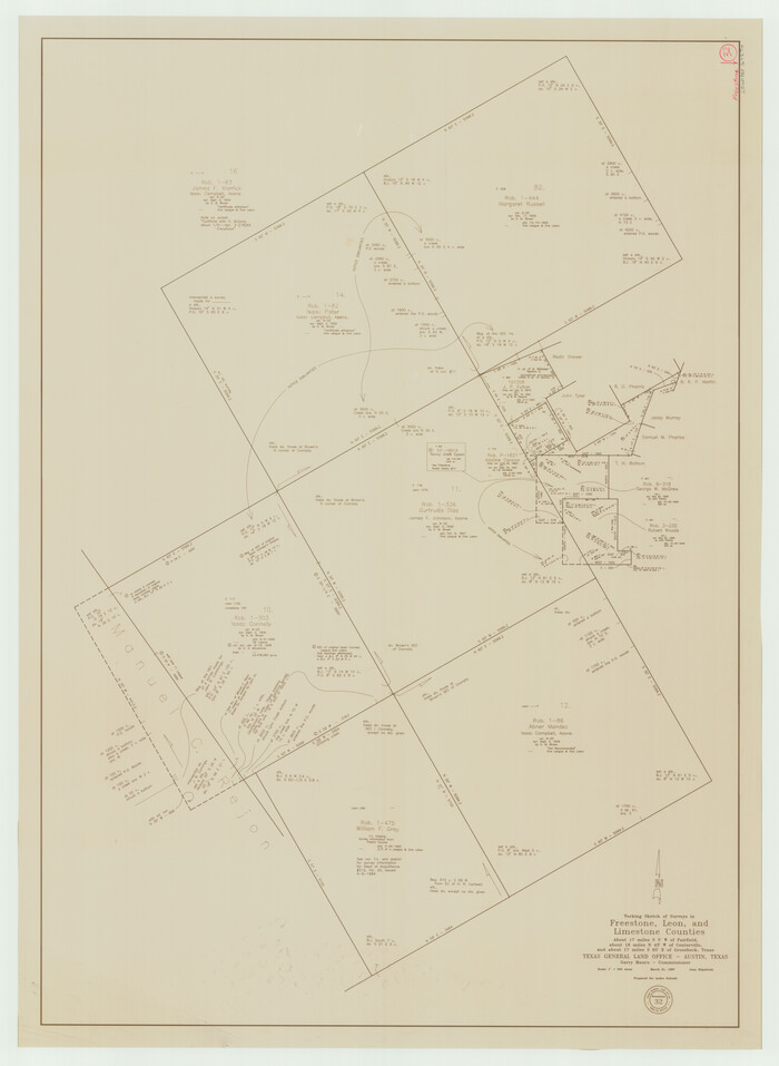
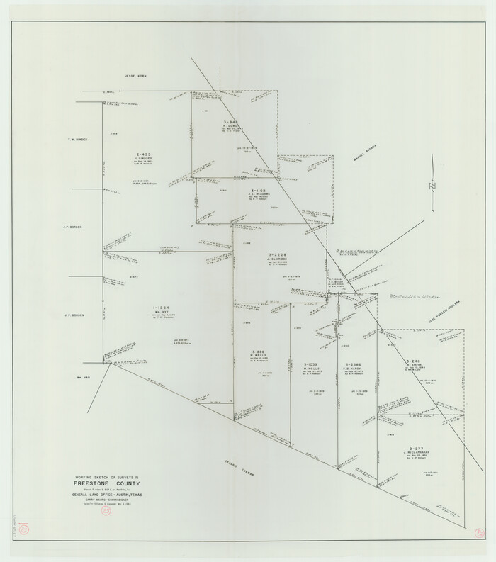
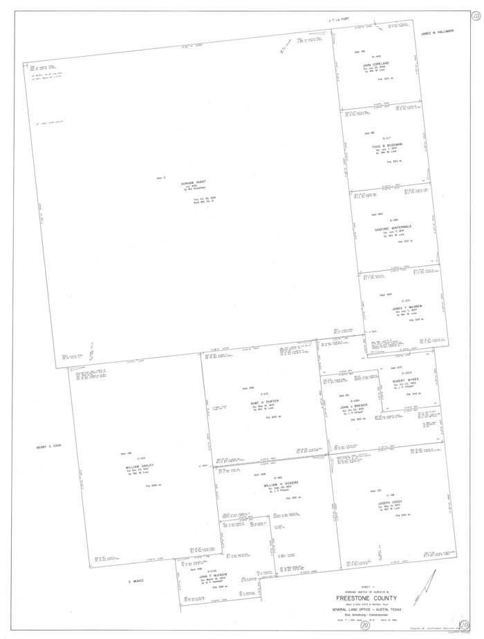
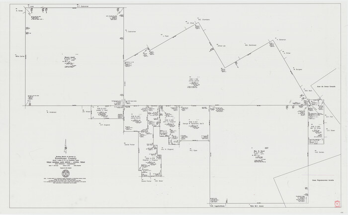
Freestone County Working Sketch 34
90095.tif
Print $40.00 - Digital $50.00

Freestone County Working Sketch 34

2011
Size: 36.5 x 59.2 inches
90095
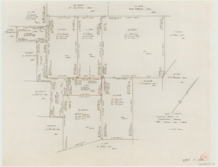
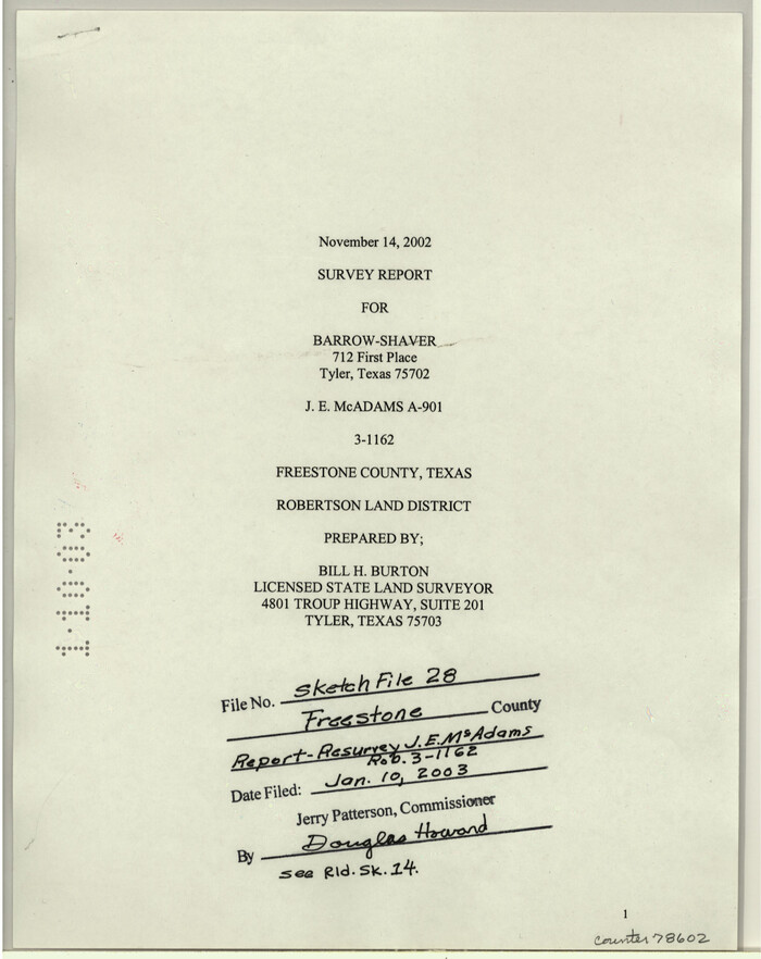
Freestone County Sketch File 28
78602, Freestone County Sketch File 28, General Map Collection
Print $12.00 - Digital $50.00

Freestone County Sketch File 28

2002

Size: 11.2 x 8.9 inches
78602
Freestone County State Real Property Sketch 1
80128, Freestone County State Real Property Sketch 1, General Map Collection
Print $20.00 - Digital $50.00

Freestone County State Real Property Sketch 1

1997

Size: 24.3 x 35.2 inches
80128
Leon County Rolled Sketch 33
6617.tif
Print $20.00 - Digital $50.00

Leon County Rolled Sketch 33

1997

Size: 26.3 x 36.7 inches
6617
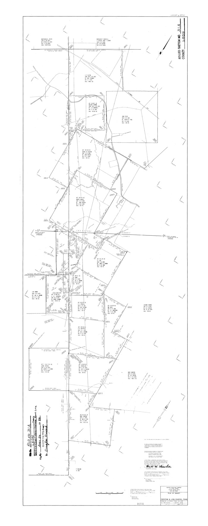
Leon County Rolled Sketch 31A
6615.tif
Print $20.00 - Digital $50.00

Leon County Rolled Sketch 31A

1995

Size: 38.9 x 15.4 inches
6615
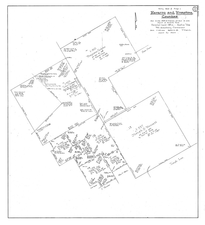
Freestone County Rolled Sketch 13A
5914.tif
Print $20.00 - Digital $50.00

Freestone County Rolled Sketch 13A

1990

Size: 45.2 x 33.7 inches
5914
Leon County Rolled Sketch 31
6614.tif
Print $20.00 - Digital $50.00

Leon County Rolled Sketch 31

1990

Size: 44.5 x 32.7 inches
6614
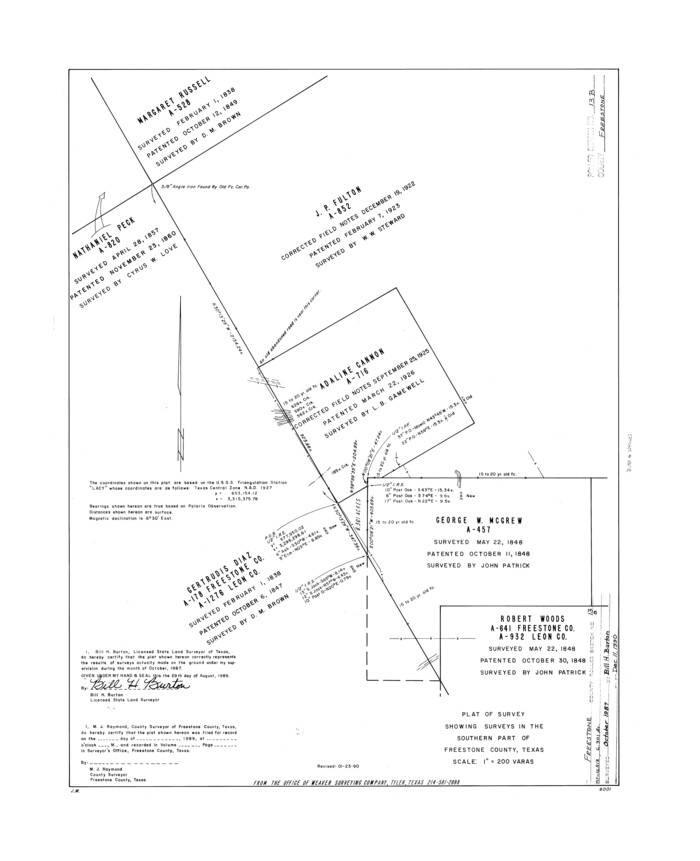
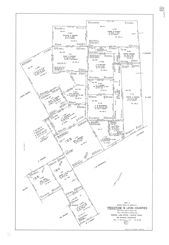
Freestone County Rolled Sketch 13B
5915.tif
Print $20.00 - Digital $50.00

Freestone County Rolled Sketch 13B

1989
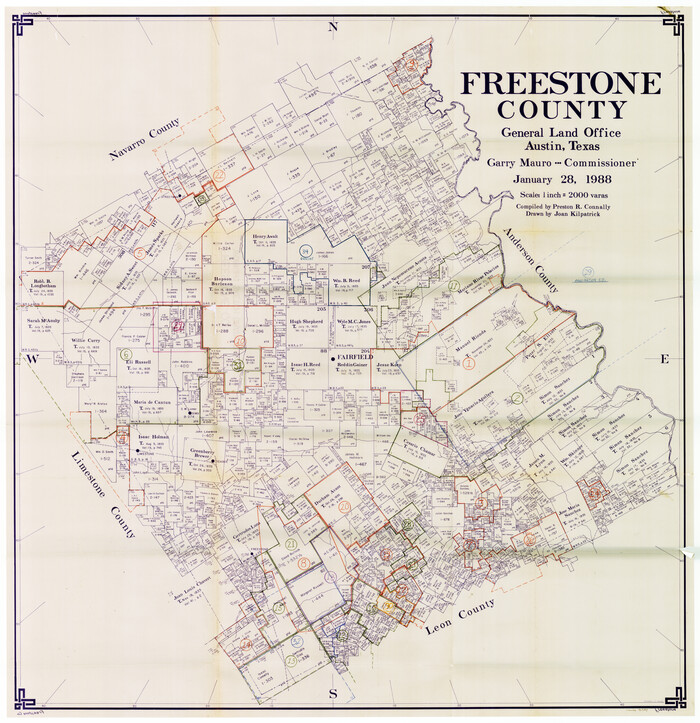
Size: 25.2 x 20.5 inches
5915
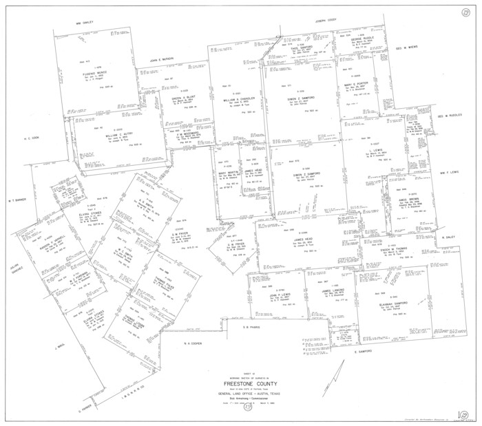
Freestone County Working Sketch Graphic Index
76547.tif
Print $20.00 - Digital $50.00

Freestone County Working Sketch Graphic Index

1988

Size: 43.0 x 42.1 inches
76547
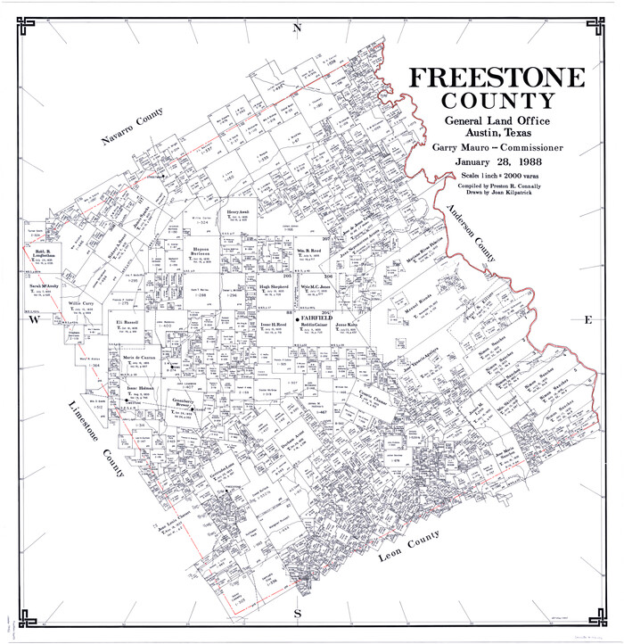
Freestone County
77284.tif
Print $20.00 - Digital $50.00

Freestone County

1988

Size: 43.0 x 41.8 inches
77284
Freestone County
95502.tif
Print $40.00 - Digital $50.00

Freestone County

1988

Size: 49.0 x 43.4 inches
95502
Freestone County
73152.tif
Print $20.00 - Digital $50.00

Freestone County

1988

Size: 45.8 x 42.6 inches
73152
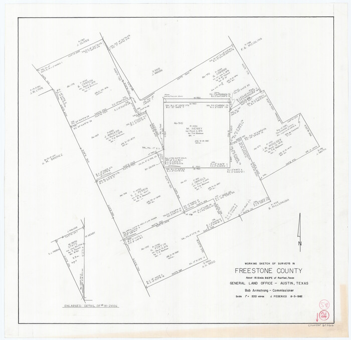
Freestone County Rolled Sketch 12A
8897.tif
Print $40.00 - Digital $50.00

Freestone County Rolled Sketch 12A

1987
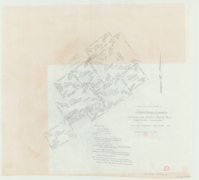
Size: 49.4 x 38.3 inches
8897
Leon County Rolled Sketch 14
9432.tif
Print $20.00 - Digital $50.00

Leon County Rolled Sketch 14

1976

Size: 33.4 x 27.9 inches
9432
Leon County Rolled Sketch 14A
46535, Leon County Rolled Sketch 14A, General Map Collection
Print $200.00 - Digital $50.00

Leon County Rolled Sketch 14A

1975

Size: 16.5 x 35.5 inches
46535
Anderson County Working Sketch 29
67029.tif
Print $20.00 - Digital $50.00

Anderson County Working Sketch 29

1962

Size: 24.6 x 27.2 inches
67029
General Highway Map, Freestone County, Texas
79472-1.tif
Print $20.00

General Highway Map, Freestone County, Texas

1961

Size: 18.1 x 24.8 inches
79472
Freestone County Sketch File 25
23087, Freestone County Sketch File 25, General Map Collection
Print $18.00 - Digital $50.00

Freestone County Sketch File 25

1952

Size: 11.3 x 8.6 inches
23087
Freestone County Rolled Sketch 2
5910.tif
Print $20.00 - Digital $50.00

Freestone County Rolled Sketch 2

1952

Size: 27.1 x 30.2 inches
5910
Freestone County Sketch File 24
11517, Freestone County Sketch File 24, General Map Collection
Print $20.00 - Digital $50.00

Freestone County Sketch File 24

1951

Size: 23.1 x 17.9 inches
11517
Freestone County Rolled Sketch 1
5909-GC.tif
Print $20.00 - Digital $50.00

Freestone County Rolled Sketch 1

1947

Size: 28.1 x 26.0 inches
5909
General Highway Map, Freestone County, Texas
79094.tif
Print $20.00

General Highway Map, Freestone County, Texas

1940

Size: 18.6 x 25.1 inches
79094
Freestone County Sketch File 27
23098, Freestone County Sketch File 27, General Map Collection
Print $2.00 - Digital $50.00

Freestone County Sketch File 27

1934

Size: 11.3 x 8.6 inches
23098
Freestone County Rolled Sketch 11
5911-1.tif
Print $20.00 - Digital $50.00

Freestone County Rolled Sketch 11

1934

Size: 17.9 x 34.1 inches
5911
Trinity River, Walker's Lake Sheet/Richland Creek
65226.tif
Print $20.00 - Digital $50.00

Trinity River, Walker's Lake Sheet/Richland Creek

1931

Size: 25.9 x 41.2 inches
65226
Trinity River, Wildcat Ferry Sheet
65182.tif
Print $20.00 - Digital $50.00

Trinity River, Wildcat Ferry Sheet

1928

Size: 41.5 x 40.9 inches
65182
Trinity River, Cox Bluff Sheet
65214.tif
Print $20.00 - Digital $50.00

Trinity River, Cox Bluff Sheet

1926

Size: 36.0 x 46.2 inches
65214
Trinity River, Cooks Ferry Sheet
65215.tif
Print $40.00 - Digital $50.00

Trinity River, Cooks Ferry Sheet

1926

Size: 36.5 x 56.2 inches
65215
Trinity River, Levee Improvement Districts Widths of Floodways
65249.tif
Print $6.00 - Digital $50.00

Trinity River, Levee Improvement Districts Widths of Floodways

1920

Size: 33.9 x 23.0 inches
65249
Trinity River, Levee Improvement Districts Widths of Floodways
65251.tif
Print $6.00 - Digital $50.00

Trinity River, Levee Improvement Districts Widths of Floodways

1920

Size: 33.3 x 21.7 inches
65251
Freestone County Working Sketch 34
90095, Freestone County Working Sketch 34, General Map Collection
Print $40.00 - Digital $50.00

Freestone County Working Sketch 34

2011

  • Size

    36.5 x 59.2 inches

  • Map/Doc

    90095

  • Creation Date

    2011

Freestone County Sketch File 28
78602, Freestone County Sketch File 28, General Map Collection
Print $12.00 - Digital $50.00

Freestone County Sketch File 28

2002

  • Size

    11.2 x 8.9 inches

  • Map/Doc

    78602

  • Creation Date

    2002

Freestone County State Real Property Sketch 1
80128, Freestone County State Real Property Sketch 1, General Map Collection
Print $20.00 - Digital $50.00

Freestone County State Real Property Sketch 1

1997

  • Size

    24.3 x 35.2 inches

  • Map/Doc

    80128

  • Creation Date

    1997

Leon County Rolled Sketch 33
6617, Leon County Rolled Sketch 33, General Map Collection
Print $20.00 - Digital $50.00

Leon County Rolled Sketch 33

1997

  • Size

    26.3 x 36.7 inches

  • Map/Doc

    6617

  • Creation Date

    1997

Leon County Rolled Sketch 31A
6615, Leon County Rolled Sketch 31A, General Map Collection
Print $20.00 - Digital $50.00

Leon County Rolled Sketch 31A

1995

  • Size

    38.9 x 15.4 inches

  • Map/Doc

    6615

  • Creation Date

    1995

Freestone County Rolled Sketch 13A
5914, Freestone County Rolled Sketch 13A, General Map Collection
Print $20.00 - Digital $50.00

Freestone County Rolled Sketch 13A

1990

  • Size

    45.2 x 33.7 inches

  • Map/Doc

    5914

  • Creation Date

    1990

Leon County Rolled Sketch 31
6614, Leon County Rolled Sketch 31, General Map Collection
Print $20.00 - Digital $50.00

Leon County Rolled Sketch 31

1990

  • Size

    44.5 x 32.7 inches

  • Map/Doc

    6614

  • Creation Date

    1990

Freestone County Rolled Sketch 13B
5915, Freestone County Rolled Sketch 13B, General Map Collection
Print $20.00 - Digital $50.00

Freestone County Rolled Sketch 13B

1989

  • Size

    25.2 x 20.5 inches

  • Map/Doc

    5915

  • Creation Date

    1989

Freestone County Working Sketch Graphic Index
76547, Freestone County Working Sketch Graphic Index, General Map Collection
Print $20.00 - Digital $50.00

Freestone County Working Sketch Graphic Index

1988

  • Size

    43.0 x 42.1 inches

  • Map/Doc

    76547

  • Creation Date

    1988

Freestone County
77284, Freestone County, General Map Collection
Print $20.00 - Digital $50.00

Freestone County

1988

  • Size

    43.0 x 41.8 inches

  • Map/Doc

    77284

  • Creation Date

    1988

Freestone County
95502, Freestone County, General Map Collection
Print $40.00 - Digital $50.00

Freestone County

1988

  • Size

    49.0 x 43.4 inches

  • Map/Doc

    95502

  • Creation Date

    1988

Freestone County
73152, Freestone County, General Map Collection
Print $20.00 - Digital $50.00

Freestone County

1988

  • Size

    45.8 x 42.6 inches

  • Map/Doc

    73152

  • Creation Date

    1988

Freestone County Rolled Sketch 12A
8897, Freestone County Rolled Sketch 12A, General Map Collection
Print $40.00 - Digital $50.00

Freestone County Rolled Sketch 12A

1987

  • Size

    49.4 x 38.3 inches

  • Map/Doc

    8897

  • Creation Date

    1987

Leon County Rolled Sketch 14
9432, Leon County Rolled Sketch 14, General Map Collection
Print $20.00 - Digital $50.00

Leon County Rolled Sketch 14

1976

  • Size

    33.4 x 27.9 inches

  • Map/Doc

    9432

  • Creation Date

    1976

Leon County Rolled Sketch 14A
46535, Leon County Rolled Sketch 14A, General Map Collection
Print $200.00 - Digital $50.00

Leon County Rolled Sketch 14A

1975

  • Size

    16.5 x 35.5 inches

  • Map/Doc

    46535

  • Creation Date

    1975

Anderson County Working Sketch 29
67029, Anderson County Working Sketch 29, General Map Collection
Print $20.00 - Digital $50.00

Anderson County Working Sketch 29

1962

  • Size

    24.6 x 27.2 inches

  • Map/Doc

    67029

  • Creation Date

    1962

General Highway Map, Freestone County, Texas
79472, General Highway Map, Freestone County, Texas, Texas State Library and Archives
Print $20.00

General Highway Map, Freestone County, Texas

1961

  • Size

    18.1 x 24.8 inches

  • Map/Doc

    79472

  • Creation Date

    1961

Freestone County Sketch File 25
23087, Freestone County Sketch File 25, General Map Collection
Print $18.00 - Digital $50.00

Freestone County Sketch File 25

1952

  • Size

    11.3 x 8.6 inches

  • Map/Doc

    23087

  • Creation Date

    1952

Freestone County Rolled Sketch 2
5910, Freestone County Rolled Sketch 2, General Map Collection
Print $20.00 - Digital $50.00

Freestone County Rolled Sketch 2

1952

  • Size

    27.1 x 30.2 inches

  • Map/Doc

    5910

  • Creation Date

    1952

Freestone County Sketch File 24
11517, Freestone County Sketch File 24, General Map Collection
Print $20.00 - Digital $50.00

Freestone County Sketch File 24

1951

  • Size

    23.1 x 17.9 inches

  • Map/Doc

    11517

  • Creation Date

    1951

Freestone County Rolled Sketch 1
5909, Freestone County Rolled Sketch 1, General Map Collection
Print $20.00 - Digital $50.00

Freestone County Rolled Sketch 1

1947

  • Size

    28.1 x 26.0 inches

  • Map/Doc

    5909

  • Creation Date

    1947

General Highway Map, Freestone County, Texas
79094, General Highway Map, Freestone County, Texas, Texas State Library and Archives
Print $20.00

General Highway Map, Freestone County, Texas

1940

  • Size

    18.6 x 25.1 inches

  • Map/Doc

    79094

  • Creation Date

    1940

Freestone County Sketch File 27
23098, Freestone County Sketch File 27, General Map Collection
Print $2.00 - Digital $50.00

Freestone County Sketch File 27

1934

  • Size

    11.3 x 8.6 inches

  • Map/Doc

    23098

  • Creation Date

    1934

Freestone County Rolled Sketch 11
5911, Freestone County Rolled Sketch 11, General Map Collection
Print $20.00 - Digital $50.00

Freestone County Rolled Sketch 11

1934

  • Size

    17.9 x 34.1 inches

  • Map/Doc

    5911

  • Creation Date

    1934

Trinity River, Walker's Lake Sheet/Richland Creek
65226, Trinity River, Walker's Lake Sheet/Richland Creek, General Map Collection
Print $20.00 - Digital $50.00

Trinity River, Walker's Lake Sheet/Richland Creek

1931

  • Size

    25.9 x 41.2 inches

  • Map/Doc

    65226

  • Creation Date

    1931

Trinity River, Wildcat Ferry Sheet
65182, Trinity River, Wildcat Ferry Sheet, General Map Collection
Print $20.00 - Digital $50.00

Trinity River, Wildcat Ferry Sheet

1928

  • Size

    41.5 x 40.9 inches

  • Map/Doc

    65182

  • Creation Date

    1928

Trinity River, Cox Bluff Sheet
65214, Trinity River, Cox Bluff Sheet, General Map Collection
Print $20.00 - Digital $50.00

Trinity River, Cox Bluff Sheet

1926

  • Size

    36.0 x 46.2 inches

  • Map/Doc

    65214

  • Creation Date

    1926

Trinity River, Cooks Ferry Sheet
65215, Trinity River, Cooks Ferry Sheet, General Map Collection
Print $40.00 - Digital $50.00

Trinity River, Cooks Ferry Sheet

1926

  • Size

    36.5 x 56.2 inches

  • Map/Doc

    65215

  • Creation Date

    1926

Trinity River, Levee Improvement Districts Widths of Floodways
65249, Trinity River, Levee Improvement Districts Widths of Floodways, General Map Collection
Print $6.00 - Digital $50.00

Trinity River, Levee Improvement Districts Widths of Floodways

1920

  • Size

    33.9 x 23.0 inches

  • Map/Doc

    65249

  • Creation Date

    1920

Trinity River, Levee Improvement Districts Widths of Floodways
65251, Trinity River, Levee Improvement Districts Widths of Floodways, General Map Collection
Print $6.00 - Digital $50.00

Trinity River, Levee Improvement Districts Widths of Floodways

1920

  • Size

    33.3 x 21.7 inches

  • Map/Doc

    65251

  • Creation Date

    1920