19th Congressional District of Texas

Print $20.00
- Digital $50.00
19th Congressional District of Texas
Size: 33.1 x 28.9 inches
92610
Abernathy Quadrangle

Print $20.00
- Digital $50.00
Abernathy Quadrangle
Size: 17.6 x 21.4 inches
92813
Artesian Company Subdivision

Print $20.00
- Digital $50.00
Artesian Company Subdivision
1955
Size: 12.0 x 15.8 inches
92698
Blocks JD, B, and A3

Print $3.00
- Digital $50.00
Blocks JD, B, and A3
Size: 11.5 x 13.8 inches
90743
C.C. Slaughter's Running Water Ranch situated in Hale and Lamb Counties

Print $40.00
- Digital $50.00
C.C. Slaughter's Running Water Ranch situated in Hale and Lamb Counties
Size: 38.1 x 55.5 inches
89924
Capitol Land Reservation

Print $20.00
- Digital $50.00
Capitol Land Reservation
1880
Size: 27.1 x 34.4 inches
10746
Castro County Sketch File 3a

Print $4.00
- Digital $50.00
Castro County Sketch File 3a
1888
Size: 14.1 x 8.4 inches
17460
Central Plains 'Holiness' College Grounds

Print $20.00
- Digital $50.00
Central Plains 'Holiness' College Grounds
1906
Size: 17.2 x 30.8 inches
92124
City of Plainview, Hale County, Texas

Print $40.00
- Digital $50.00
City of Plainview, Hale County, Texas
Size: 43.5 x 53.3 inches
89841
Crosby County Sketch File 26

Print $28.00
- Digital $50.00
Crosby County Sketch File 26
1888
Size: 14.1 x 8.6 inches
20098
Crosby County Sketch File 5

Print $10.00
- Digital $50.00
Crosby County Sketch File 5
1887
Size: 9.2 x 7.8 inches
20002
Ellwood Farms Situated in Hockley, Lamb, and Hale Counties, Texas

Print $20.00
- Digital $50.00
Ellwood Farms Situated in Hockley, Lamb, and Hale Counties, Texas
Size: 21.5 x 32.7 inches
92227
Ellwood Farms Situated in Hockley, Lamb, and Hale Counties, Texas

Print $20.00
- Digital $50.00
Ellwood Farms Situated in Hockley, Lamb, and Hale Counties, Texas
Size: 20.3 x 30.1 inches
92229
Ellwood Farms Subdivision Number 2 of the Spade Ranch

Print $20.00
- Digital $50.00
Ellwood Farms Subdivision Number 2 of the Spade Ranch
Size: 21.9 x 31.4 inches
90986
Ellwood Farms Subdivision Number 2 of the Spade Ranch Lamb and Hale Counties, Texas

Print $20.00
- Digital $50.00
Ellwood Farms Subdivision Number 2 of the Spade Ranch Lamb and Hale Counties, Texas
Size: 20.9 x 29.1 inches
92173
Ellwood Farms Subdivision Number 2 of the Spade Ranch Lamb and Hale Counties, Texas

Print $20.00
- Digital $50.00
Ellwood Farms Subdivision Number 2 of the Spade Ranch Lamb and Hale Counties, Texas
Size: 22.2 x 31.4 inches
92258
Floyd County Working Sketch 6

Print $20.00
- Digital $50.00
Floyd County Working Sketch 6
1965
Size: 22.9 x 31.3 inches
69185
General Highway Map, Hale County, Texas

Print $20.00
General Highway Map, Hale County, Texas
1940
Size: 24.8 x 18.4 inches
79108
General Highway Map, Hale County, Texas

Print $20.00
General Highway Map, Hale County, Texas
1961
Size: 24.7 x 18.2 inches
79493
General Highway Map, Hale County, Texas

Print $20.00
- Digital $50.00
General Highway Map, Hale County, Texas
1949
Size: 18.8 x 25.9 inches
92661
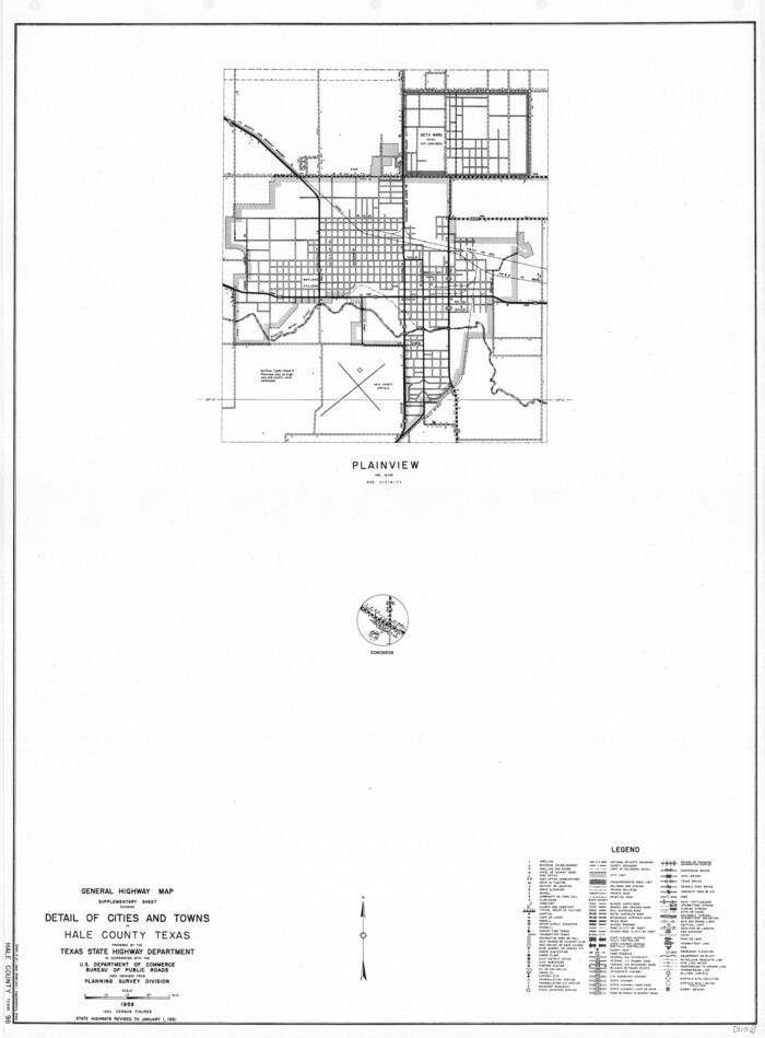
General Highway Map. Detail of Cities and Towns in Hale County, Texas [Plainview and vicinity]
Print $20.00
General Highway Map. Detail of Cities and Towns in Hale County, Texas [Plainview and vicinity]
1961
Size: 24.6 x 18.2 inches
79494
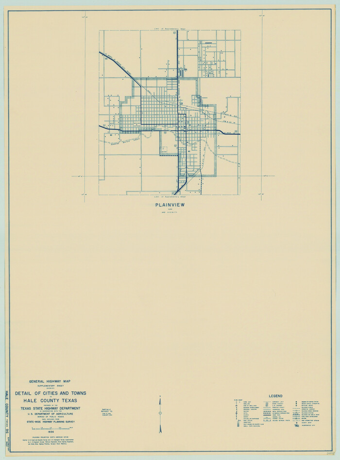
General Highway Map. Detail of Cities and Towns in Hale County, Texas [Plainview and vicinity]
Print $20.00
General Highway Map. Detail of Cities and Towns in Hale County, Texas [Plainview and vicinity]
1940
Size: 25.0 x 18.5 inches
79109
19th Congressional District of Texas
Print $20.00
- Digital $50.00
19th Congressional District of Texas
-
Size
33.1 x 28.9 inches
-
Map/Doc
92610
Abernathy Quadrangle
Print $20.00
- Digital $50.00
Abernathy Quadrangle
-
Size
17.6 x 21.4 inches
-
Map/Doc
92813
Anton Quadrangle

Print $20.00
- Digital $50.00
Anton Quadrangle
1957
-
Size
18.1 x 22.1 inches
-
Map/Doc
92814
-
Creation Date
1957
Artesian Company Subdivision
Print $20.00
- Digital $50.00
Artesian Company Subdivision
1955
-
Size
12.0 x 15.8 inches
-
Map/Doc
92698
-
Creation Date
1955
Blocks JD, B, and A3
Print $3.00
- Digital $50.00
Blocks JD, B, and A3
-
Size
11.5 x 13.8 inches
-
Map/Doc
90743
C.C. Slaughter's Running Water Ranch situated in Hale and Lamb Counties
Print $40.00
- Digital $50.00
C.C. Slaughter's Running Water Ranch situated in Hale and Lamb Counties
-
Size
38.1 x 55.5 inches
-
Map/Doc
89924
Capitol Land Reservation
Print $20.00
- Digital $50.00
Capitol Land Reservation
1880
-
Size
27.1 x 34.4 inches
-
Map/Doc
10746
-
Creation Date
1880
Castro County Sketch File 3a
Print $4.00
- Digital $50.00
Castro County Sketch File 3a
1888
-
Size
14.1 x 8.4 inches
-
Map/Doc
17460
-
Creation Date
1888
Central Plains 'Holiness' College Grounds
Print $20.00
- Digital $50.00
Central Plains 'Holiness' College Grounds
1906
-
Size
17.2 x 30.8 inches
-
Map/Doc
92124
-
Creation Date
1906
City of Plainview, Hale County, Texas
Print $40.00
- Digital $50.00
City of Plainview, Hale County, Texas
-
Size
43.5 x 53.3 inches
-
Map/Doc
89841
Crosby County Sketch File 26
Print $28.00
- Digital $50.00
Crosby County Sketch File 26
1888
-
Size
14.1 x 8.6 inches
-
Map/Doc
20098
-
Creation Date
1888
Crosby County Sketch File 5
Print $10.00
- Digital $50.00
Crosby County Sketch File 5
1887
-
Size
9.2 x 7.8 inches
-
Map/Doc
20002
-
Creation Date
1887
Eleven County Map

Print $40.00
- Digital $50.00
Eleven County Map
-
Size
39.2 x 57.5 inches
-
Map/Doc
89856
Ellwood Farms Situated in Hockley, Lamb, and Hale Counties, Texas
Print $20.00
- Digital $50.00
Ellwood Farms Situated in Hockley, Lamb, and Hale Counties, Texas
-
Size
21.5 x 32.7 inches
-
Map/Doc
92227
Ellwood Farms Situated in Hockley, Lamb, and Hale Counties, Texas
Print $20.00
- Digital $50.00
Ellwood Farms Situated in Hockley, Lamb, and Hale Counties, Texas
-
Size
20.3 x 30.1 inches
-
Map/Doc
92229
Ellwood Farms Subdivision Number 2 of the Spade Ranch
Print $20.00
- Digital $50.00
Ellwood Farms Subdivision Number 2 of the Spade Ranch
-
Size
21.9 x 31.4 inches
-
Map/Doc
90986
Ellwood Farms Subdivision Number 2 of the Spade Ranch Lamb and Hale Counties, Texas
Print $20.00
- Digital $50.00
Ellwood Farms Subdivision Number 2 of the Spade Ranch Lamb and Hale Counties, Texas
-
Size
20.9 x 29.1 inches
-
Map/Doc
92173
Ellwood Farms Subdivision Number 2 of the Spade Ranch Lamb and Hale Counties, Texas
Print $20.00
- Digital $50.00
Ellwood Farms Subdivision Number 2 of the Spade Ranch Lamb and Hale Counties, Texas
-
Size
22.2 x 31.4 inches
-
Map/Doc
92258
Floyd County Working Sketch 6
Print $20.00
- Digital $50.00
Floyd County Working Sketch 6
1965
-
Size
22.9 x 31.3 inches
-
Map/Doc
69185
-
Creation Date
1965
General Highway Map, Hale County, Texas
Print $20.00
General Highway Map, Hale County, Texas
1940
-
Size
24.8 x 18.4 inches
-
Map/Doc
79108
-
Creation Date
1940
General Highway Map, Hale County, Texas
Print $20.00
General Highway Map, Hale County, Texas
1961
-
Size
24.7 x 18.2 inches
-
Map/Doc
79493
-
Creation Date
1961
General Highway Map, Hale County, Texas
Print $20.00
- Digital $50.00
General Highway Map, Hale County, Texas
1949
-
Size
18.8 x 25.9 inches
-
Map/Doc
92661
-
Creation Date
1949
General Highway Map. Detail of Cities and Towns in Hale County, Texas [Plainview and vicinity]
Print $20.00
General Highway Map. Detail of Cities and Towns in Hale County, Texas [Plainview and vicinity]
1961
-
Size
24.6 x 18.2 inches
-
Map/Doc
79494
-
Creation Date
1961
General Highway Map. Detail of Cities and Towns in Hale County, Texas [Plainview and vicinity]
Print $20.00
General Highway Map. Detail of Cities and Towns in Hale County, Texas [Plainview and vicinity]
1940
-
Size
25.0 x 18.5 inches
-
Map/Doc
79109
-
Creation Date
1940
Hale Co.

Print $20.00
- Digital $50.00
Hale Co.
1900
-
Size
43.4 x 38.6 inches
-
Map/Doc
16841
-
Creation Date
1900
Hale Co.

Print $20.00
- Digital $50.00
Hale Co.
1900
-
Size
45.1 x 40.0 inches
-
Map/Doc
4966
-
Creation Date
1900
Hale County

Print $40.00
- Digital $50.00
Hale County
1931
-
Size
48.5 x 38.2 inches
-
Map/Doc
1846
-
Creation Date
1931
Hale County

Print $20.00
- Digital $50.00
Hale County
1892
-
Size
22.5 x 20.4 inches
-
Map/Doc
3611
-
Creation Date
1892
Hale County

Print $20.00
- Digital $50.00
Hale County
1895
-
Size
22.3 x 18.7 inches
-
Map/Doc
3612
-
Creation Date
1895
Hale County

Print $20.00
- Digital $50.00
Hale County
1884
-
Size
21.1 x 20.3 inches
-
Map/Doc
3613
-
Creation Date
1884