
Map of Hill County
1884

Hill County Sketch File 1
1857

Hill County Sketch File 2
1847
Hill County Sketch File 3
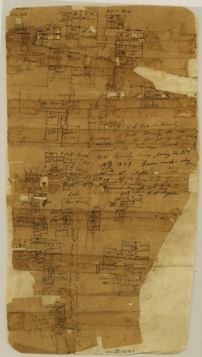
Hill County Sketch File 4
1859
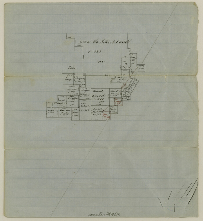
Hill County Sketch File 4 1/2
1859

Hill County Sketch File 6
1848
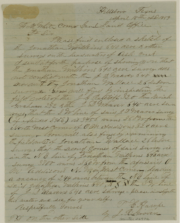
Hill County Sketch File 8
1859
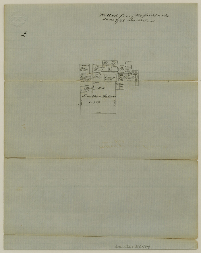
Hill County Sketch File 8a
1858
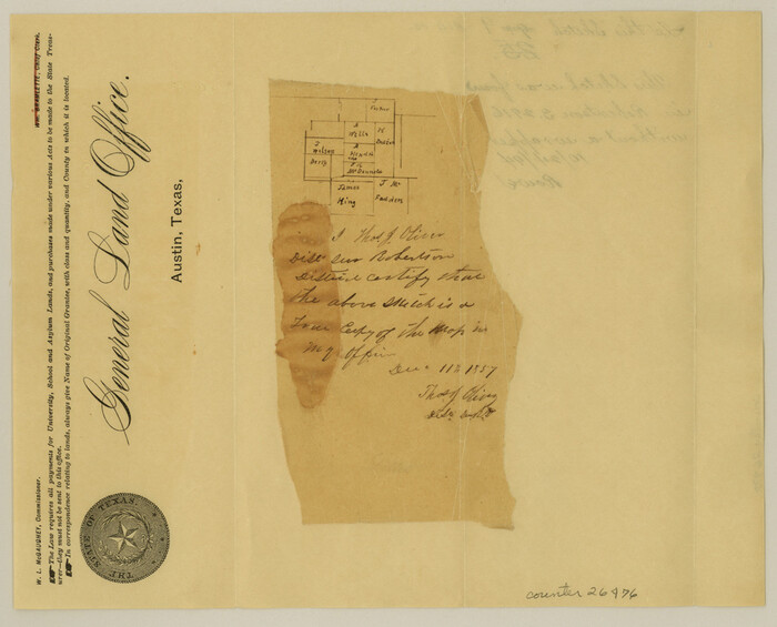
Hill County Sketch File 9
1857
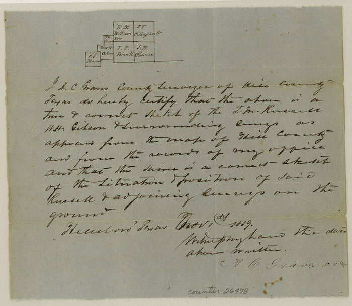
Hill County Sketch File 10
1859
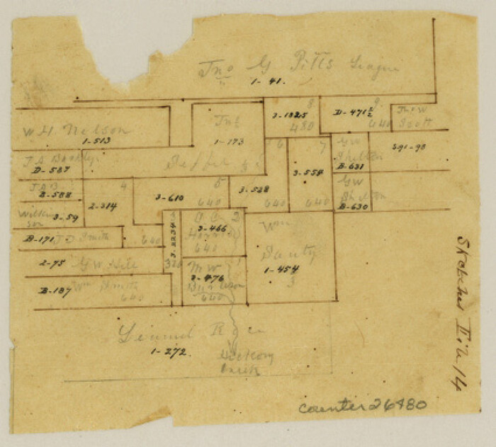
Hill County Sketch File 14
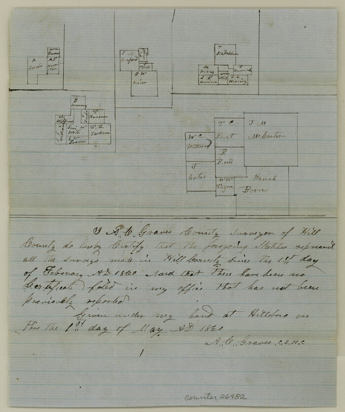
Hill County Sketch File 16
1860

Hill County Sketch File 17
1860
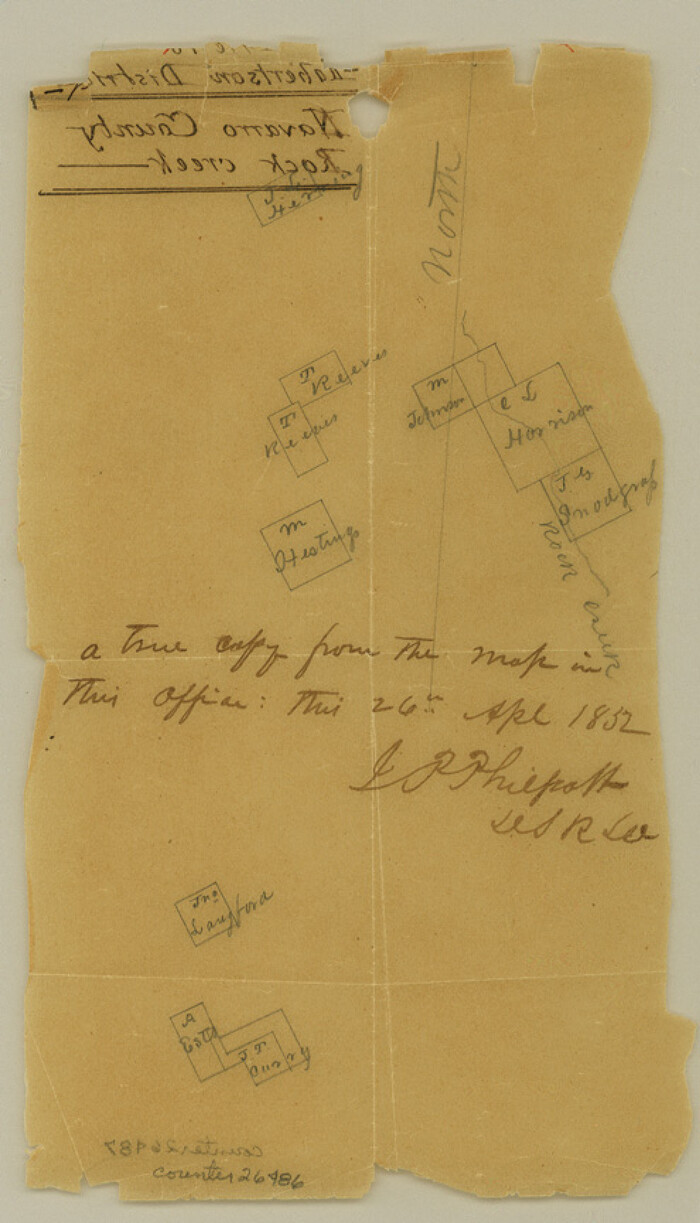
Hill County Sketch File 18
1852
Hill County Sketch File 20
1854
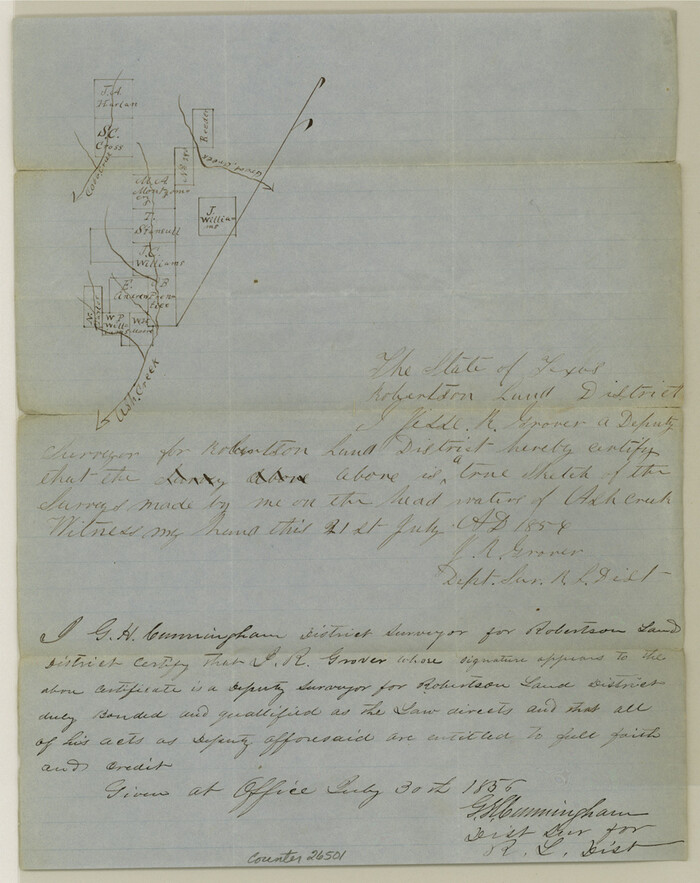
Hill County Sketch File 21
1856

Hill County Sketch File 21a
1887
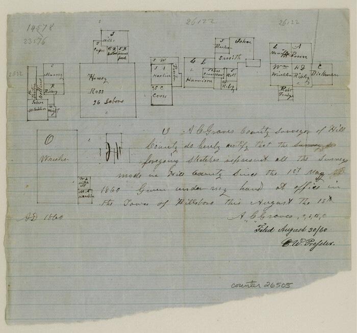
Hill County Sketch File 22
1860
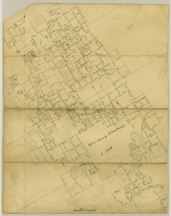
Hill County Sketch File 22a
1861

Hill County Sketch File 23
1862
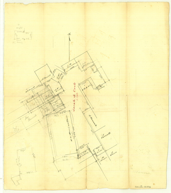
Hill County Sketch File 24
Hill County Sketch File 24a
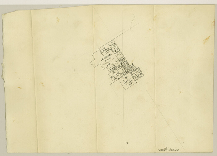
Hill County Sketch File 25

Hill County Sketch File 26
1892
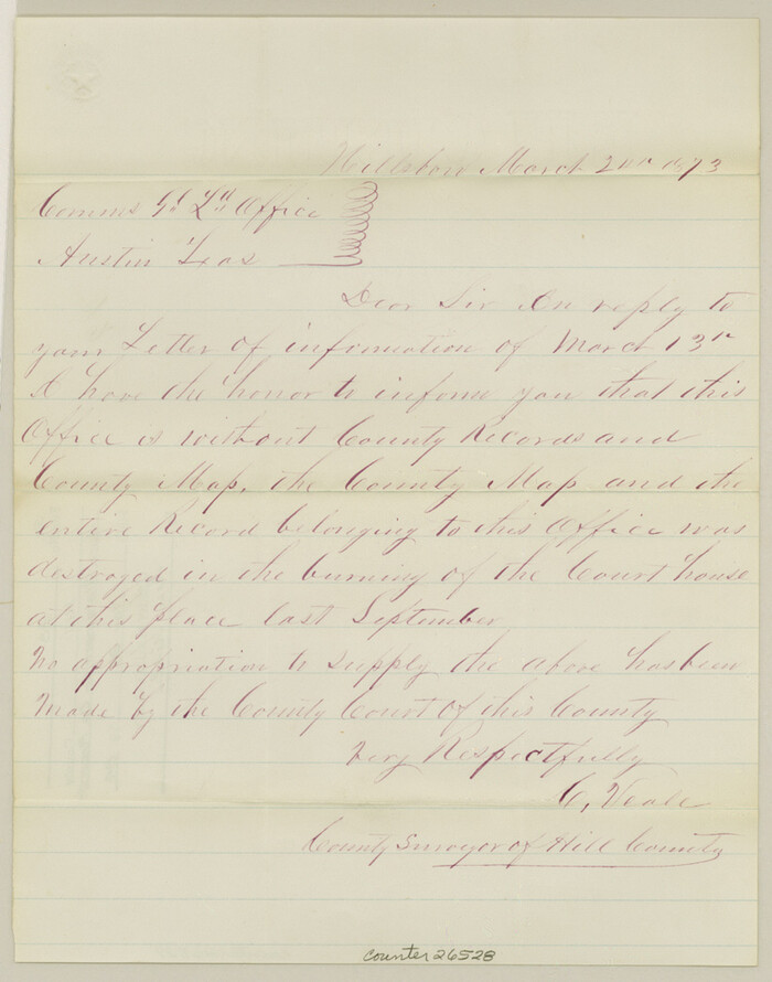
Hill County Sketch File 27
1873
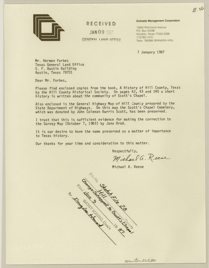
Hill County Sketch file 28
1987

Johnson County Sketch File 10a
1877

Johnson County Sketch File 23
1857

Map of Hill County
1884
-
Size
47.2 x 36.8 inches
-
Map/Doc
16851
-
Creation Date
1884
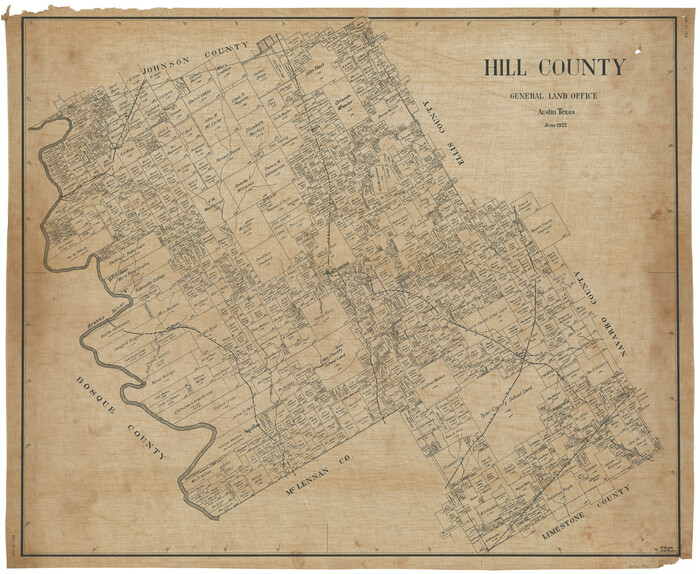
Hill County
1922
-
Size
39.7 x 48.5 inches
-
Map/Doc
1855
-
Creation Date
1922

Hill County Sketch File 1
1857
-
Size
9.0 x 7.9 inches
-
Map/Doc
26459
-
Creation Date
1857

Hill County Sketch File 2
1847
-
Size
15.1 x 12.6 inches
-
Map/Doc
26461
-
Creation Date
1847

Hill County Sketch File 3
-
Size
8.3 x 10.4 inches
-
Map/Doc
26463

Hill County Sketch File 4
1859
-
Size
14.1 x 8.0 inches
-
Map/Doc
26464
-
Creation Date
1859

Hill County Sketch File 4 1/2
1859
-
Size
8.8 x 8.1 inches
-
Map/Doc
26468
-
Creation Date
1859

Hill County Sketch File 6
1848
-
Size
13.9 x 8.7 inches
-
Map/Doc
26470
-
Creation Date
1848

Hill County Sketch File 8
1859
-
Size
10.1 x 8.2 inches
-
Map/Doc
26472
-
Creation Date
1859

Hill County Sketch File 8a
1858
-
Size
10.2 x 8.1 inches
-
Map/Doc
26474
-
Creation Date
1858

Hill County Sketch File 9
1857
-
Size
8.3 x 10.3 inches
-
Map/Doc
26476
-
Creation Date
1857

Hill County Sketch File 10
1859
-
Size
7.1 x 8.2 inches
-
Map/Doc
26478
-
Creation Date
1859

Hill County Sketch File 14
-
Size
3.8 x 4.3 inches
-
Map/Doc
26480

Hill County Sketch File 16
1860
-
Size
9.9 x 8.3 inches
-
Map/Doc
26482
-
Creation Date
1860

Hill County Sketch File 17
1860
-
Size
12.5 x 8.3 inches
-
Map/Doc
26484
-
Creation Date
1860

Hill County Sketch File 18
1852
-
Size
8.6 x 4.9 inches
-
Map/Doc
26486
-
Creation Date
1852

Hill County Sketch File 20
1854
-
Size
8.3 x 7.7 inches
-
Map/Doc
26490
-
Creation Date
1854

Hill County Sketch File 21
1856
-
Size
11.1 x 8.8 inches
-
Map/Doc
26501
-
Creation Date
1856

Hill County Sketch File 21a
1887
-
Size
10.8 x 8.4 inches
-
Map/Doc
26503
-
Creation Date
1887

Hill County Sketch File 22
1860
-
Size
7.7 x 8.2 inches
-
Map/Doc
26505
-
Creation Date
1860

Hill County Sketch File 22a
1861
-
Size
11.3 x 9.0 inches
-
Map/Doc
26509
-
Creation Date
1861

Hill County Sketch File 23
1862
-
Size
7.9 x 8.3 inches
-
Map/Doc
26512
-
Creation Date
1862

Hill County Sketch File 24
-
Size
15.6 x 13.8 inches
-
Map/Doc
26516

Hill County Sketch File 24a
-
Size
13.2 x 14.3 inches
-
Map/Doc
26518

Hill County Sketch File 25
-
Size
7.9 x 10.9 inches
-
Map/Doc
26520

Hill County Sketch File 26
1892
-
Size
8.9 x 8.5 inches
-
Map/Doc
26522
-
Creation Date
1892

Hill County Sketch File 27
1873
-
Size
10.4 x 8.2 inches
-
Map/Doc
26528
-
Creation Date
1873

Hill County Sketch file 28
1987
-
Size
11.3 x 8.9 inches
-
Map/Doc
26530
-
Creation Date
1987

Johnson County Sketch File 10a
1877
-
Size
6.7 x 10.6 inches
-
Map/Doc
28445
-
Creation Date
1877

Johnson County Sketch File 23
1857
-
Size
8.1 x 12.6 inches
-
Map/Doc
28456
-
Creation Date
1857