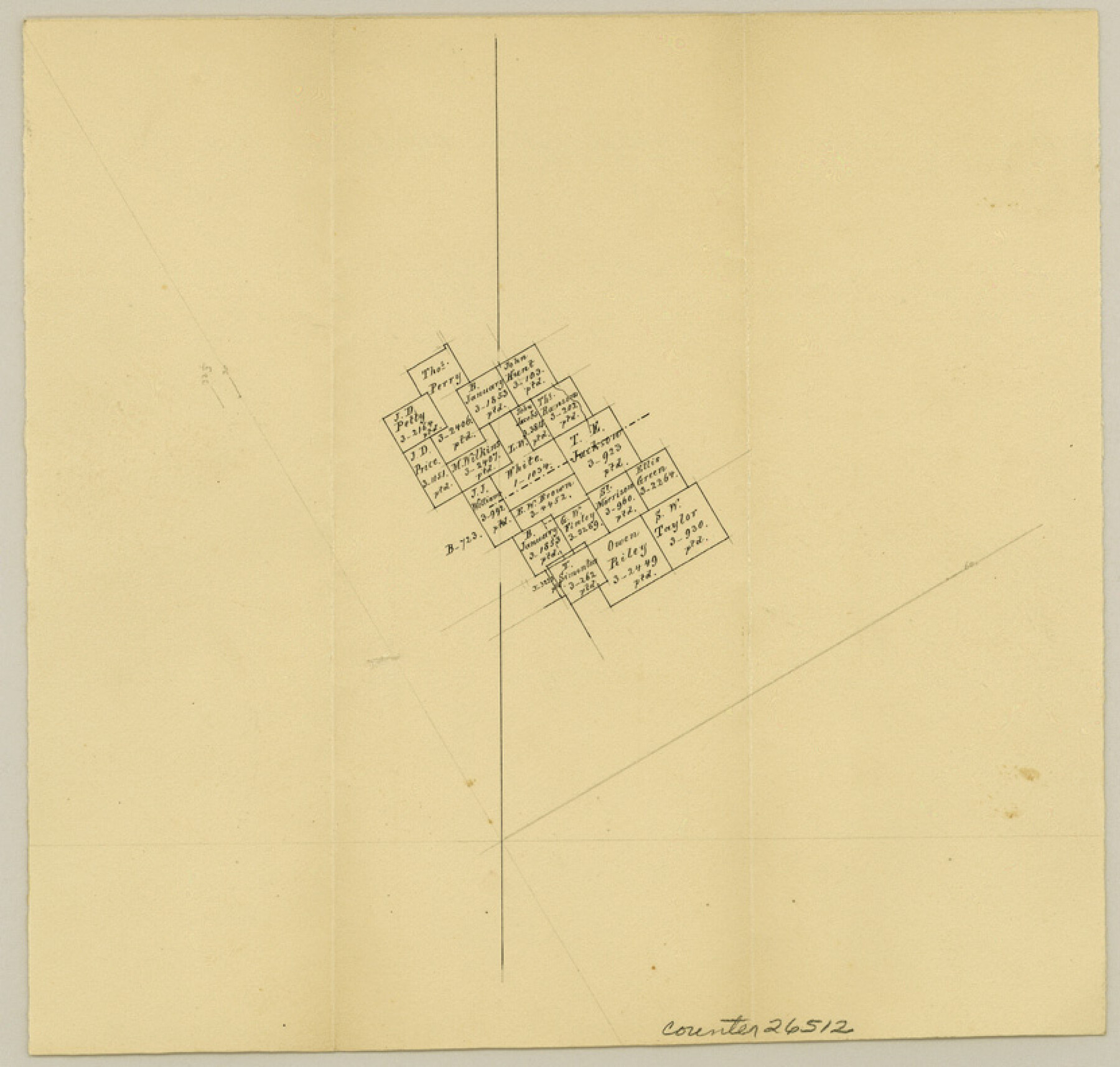
Hill County Sketch File 23
[Sketches in southwest corner of Ellis County]
-
Map/Doc
26512
-
Collection
General Map Collection
-
Object Dates
4/29/1862 (Creation Date)
-
Counties
Hill Ellis
-
Subjects
Surveying Sketch File
-
Height x Width
7.9 x 8.3 inches
20.1 x 21.1 cm
-
Medium
paper, manuscript
Part of: General Map Collection
Guadalupe County Sketch File 12

Print $8.00
- Digital $50.00
Guadalupe County Sketch File 12
1869
Size 12.9 x 8.2 inches
Map/Doc 24683
Hemphill County Rolled Sketch 2

Print $20.00
- Digital $50.00
Hemphill County Rolled Sketch 2
Size 26.4 x 29.8 inches
Map/Doc 6185
Knox County Rolled Sketch 10

Print $40.00
- Digital $50.00
Knox County Rolled Sketch 10
Size 56.6 x 35.6 inches
Map/Doc 10718
Sketch No. 2 Showing Land Ties with Houston & Texas Central Rail Road through Harris County, Texas

Print $20.00
- Digital $50.00
Sketch No. 2 Showing Land Ties with Houston & Texas Central Rail Road through Harris County, Texas
1880
Size 8.5 x 26.9 inches
Map/Doc 64496
Duval County Boundary File 3j

Print $12.00
- Digital $50.00
Duval County Boundary File 3j
Size 12.8 x 8.0 inches
Map/Doc 52753
Bailey County Sketch File 2

Print $40.00
- Digital $50.00
Bailey County Sketch File 2
1892
Size 28.0 x 23.6 inches
Map/Doc 10881
Fannin County Sketch File 19

Print $4.00
- Digital $50.00
Fannin County Sketch File 19
1878
Size 8.3 x 10.0 inches
Map/Doc 22473
Montgomery County Sketch File 13

Print $40.00
- Digital $50.00
Montgomery County Sketch File 13
1900
Size 17.8 x 14.8 inches
Map/Doc 31803
San Luis Pass to East Matagorda Bay

Print $40.00
- Digital $50.00
San Luis Pass to East Matagorda Bay
1991
Size 35.0 x 48.8 inches
Map/Doc 69972
Montgomery County Working Sketch 76

Print $20.00
- Digital $50.00
Montgomery County Working Sketch 76
Size 16.5 x 18.3 inches
Map/Doc 78191
Ward County Working Sketch 26

Print $20.00
- Digital $50.00
Ward County Working Sketch 26
1964
Size 38.2 x 24.5 inches
Map/Doc 72332
Smith County Sketch File 19

Print $42.00
- Digital $50.00
Smith County Sketch File 19
1850
Size 8.1 x 13.0 inches
Map/Doc 36794
You may also like
San Saba County

Print $40.00
- Digital $50.00
San Saba County
1918
Size 49.0 x 43.0 inches
Map/Doc 63023
Lamar County Sketch File 6

Print $40.00
- Digital $50.00
Lamar County Sketch File 6
Size 16.2 x 13.4 inches
Map/Doc 29286
Zapata County Rolled Sketch 25

Print $20.00
- Digital $50.00
Zapata County Rolled Sketch 25
Size 45.7 x 37.9 inches
Map/Doc 10172
Webb County Rolled Sketch 9

Print $20.00
- Digital $50.00
Webb County Rolled Sketch 9
1905
Size 12.6 x 16.3 inches
Map/Doc 8175
Dallam County

Print $40.00
- Digital $50.00
Dallam County
1926
Size 40.1 x 48.6 inches
Map/Doc 73125
Gonzales County Boundary File 34 (9)

Print $18.00
- Digital $50.00
Gonzales County Boundary File 34 (9)
Size 8.5 x 3.9 inches
Map/Doc 53836
Outer Continental Shelf Leasing Maps (Texas Offshore Operations)

Print $20.00
- Digital $50.00
Outer Continental Shelf Leasing Maps (Texas Offshore Operations)
Size 13.4 x 19.8 inches
Map/Doc 75846
Liberty County Rolled Sketch F

Print $20.00
- Digital $50.00
Liberty County Rolled Sketch F
Size 24.9 x 25.5 inches
Map/Doc 6621
Presidio County Working Sketch 26

Print $20.00
- Digital $50.00
Presidio County Working Sketch 26
1945
Size 41.9 x 24.3 inches
Map/Doc 71702
Angelina County Sketch File 15i

Print $8.00
- Digital $50.00
Angelina County Sketch File 15i
1939
Size 11.2 x 8.6 inches
Map/Doc 13000
[Missouri, Kansas & Texas Line Map through Bastrop County]
![64032, [Missouri, Kansas & Texas Line Map through Bastrop County], General Map Collection](https://historictexasmaps.com/wmedia_w700/maps/64032.tif.jpg)
Print $40.00
- Digital $50.00
[Missouri, Kansas & Texas Line Map through Bastrop County]
1916
Size 25.4 x 106.0 inches
Map/Doc 64032
Flight Mission No. CRC-3R, Frame 198, Chambers County

Print $20.00
- Digital $50.00
Flight Mission No. CRC-3R, Frame 198, Chambers County
1956
Size 18.5 x 22.2 inches
Map/Doc 84853