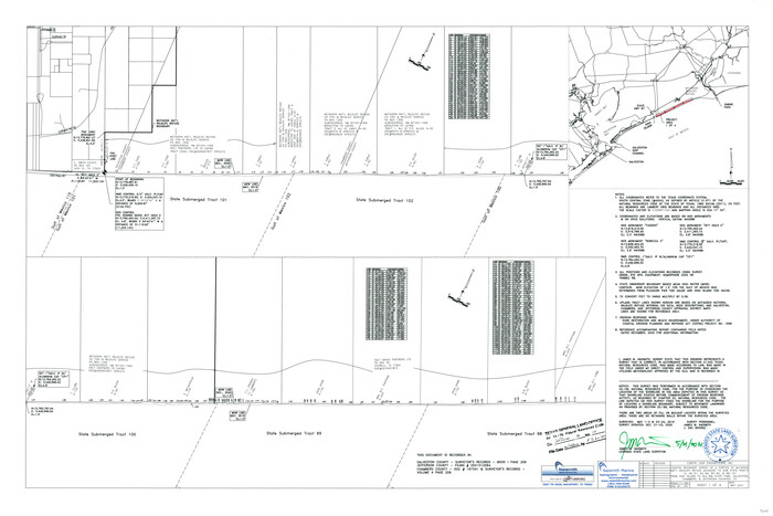
Jefferson County NRC Article 33.136 Sketch 14
2021

The Republic County of Jefferson. Boundaries Defined, December 21, 1837
2020
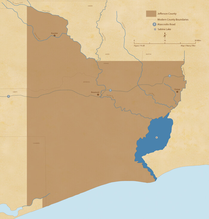
The Republic County of Jefferson. January 20, 1841
2020
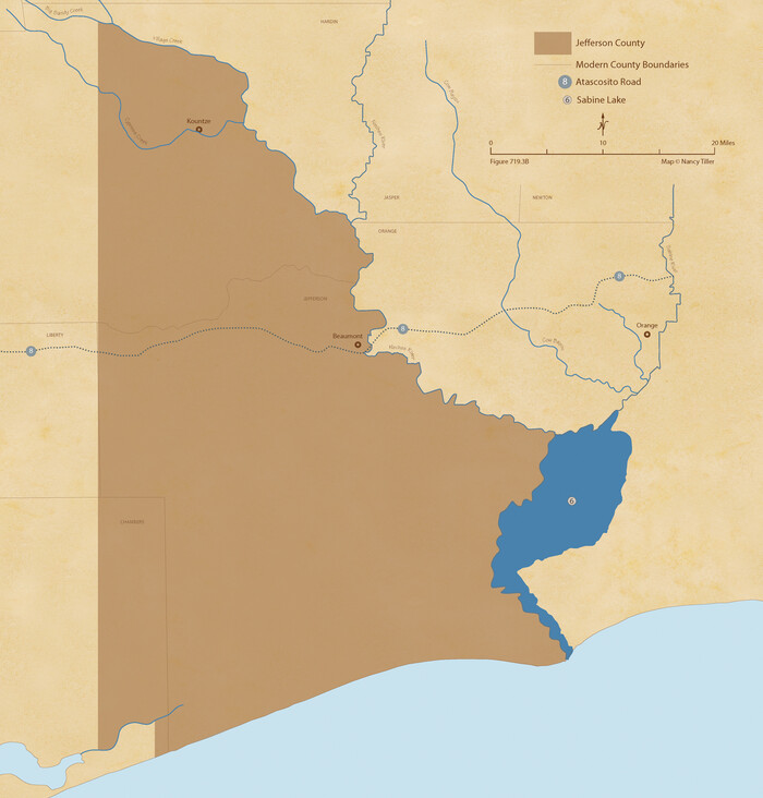
The Republic County of Jefferson. January 29, 1842
2020
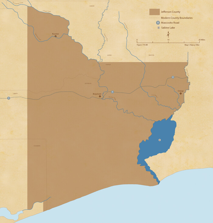
The Republic County of Jefferson. Spring 1842
2020
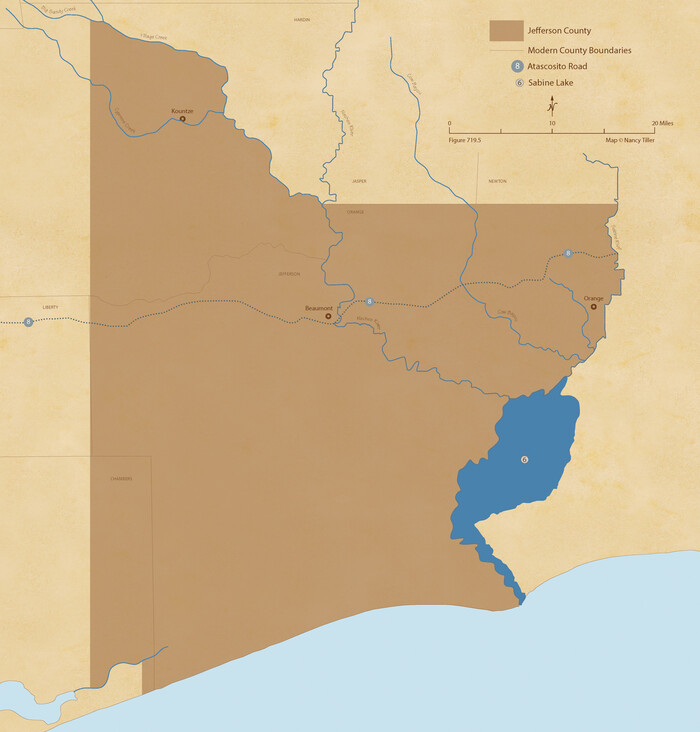
The Republic County of Jefferson. December 29, 1845
2020
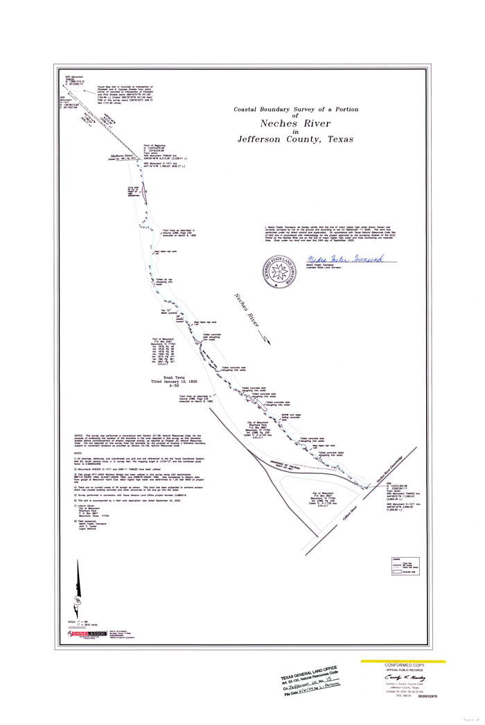
Jefferson County NRC Article 33.136 Sketch 15
2020
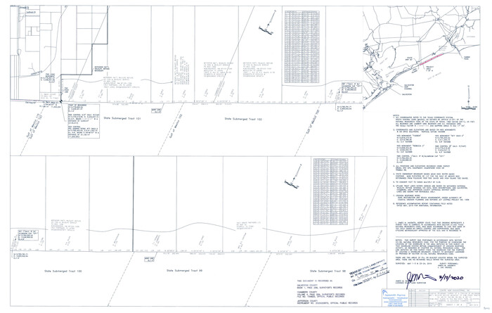
Jefferson County NRC Article 33.136 Sketch 13
2019
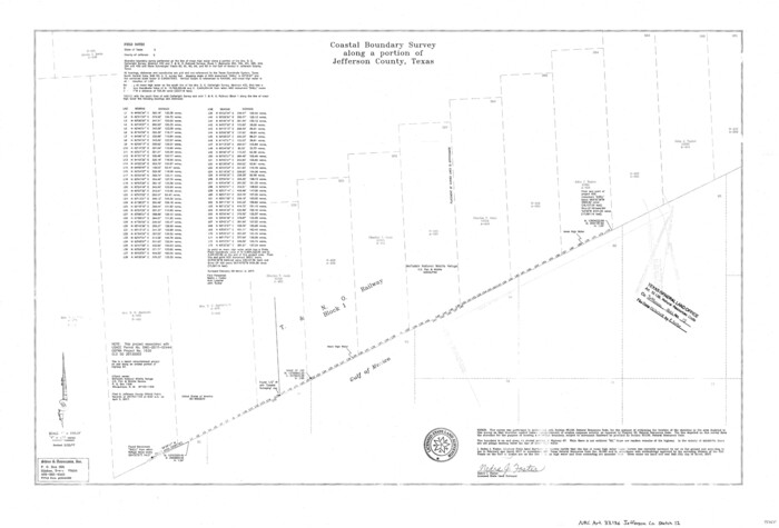
Jefferson County NRC Article 33.136 Sketch 12
2017
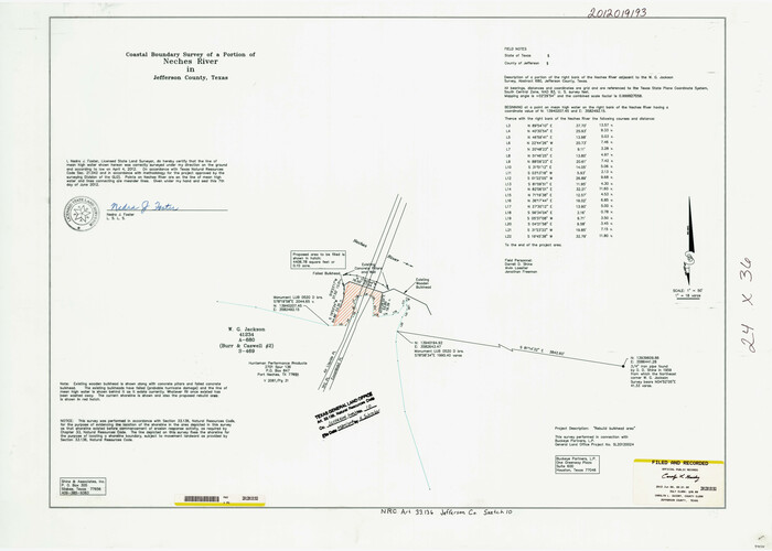
Jefferson County NRC Article 33.136 Sketch 10
2012
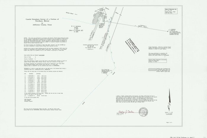
Jefferson County NRC Article 33.136 Sketch 11
2012

Jefferson County NRC Article 33.136 Sketch 9
2011

Jefferson County NRC Article 33.136 Sketch 7
2009

Jefferson County NRC Article 33.136 Sketch 8
2007

Jefferson County Rolled Sketch 67
2007

Jefferson County Sketch File 56
2007
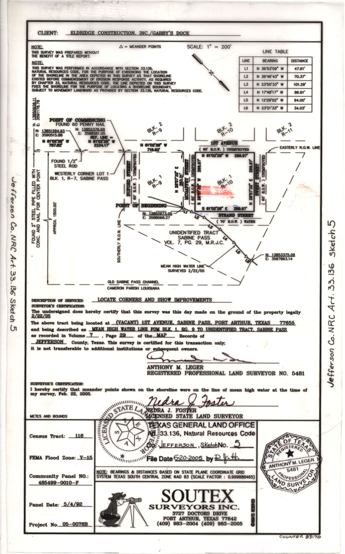
Jefferson County NRC Article 33.136 Sketch 5
2005

Jefferson County NRC Article 33.136 Sketch 6
2005

Jefferson County NRC Article 33.136 Sketch 4
2004
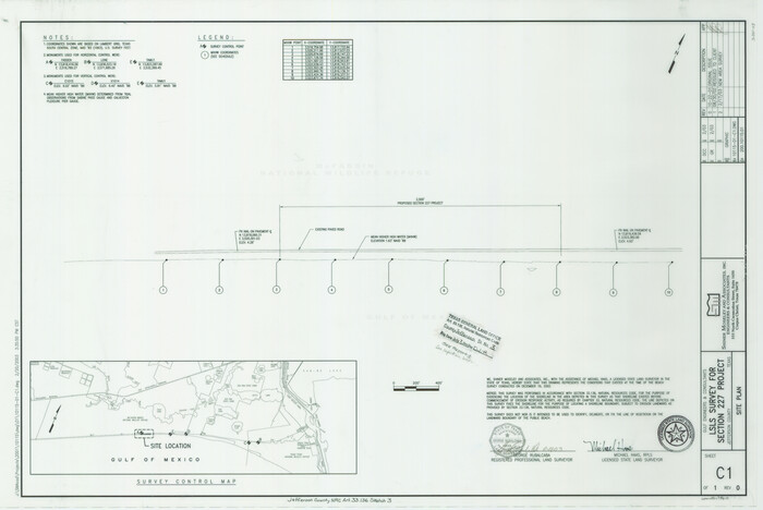
Jefferson County NRC Article 33.136 Sketch 3
2003

Jefferson County NRC Article 33.136 Sketch 2
2002

Jefferson County NRC Article 33.136 Sketch 1
2002

Jefferson County Working Sketch 42
1996
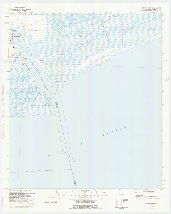
Jefferson County NRC Article 33.136 Location Key Sheet
1993

Sabine Pass and Lake
1992
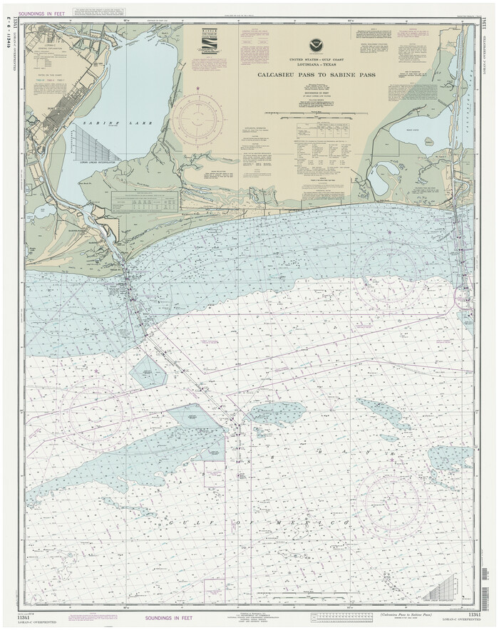
Calcasieu Pass to Sabine Pass
1992

Sabine and Neches Rivers
1987

Mississippi River to Galveston
1986

Jefferson County NRC Article 33.136 Sketch 14
2021
-
Map/Doc
96645
-
Creation Date
2021

The Republic County of Jefferson. Boundaries Defined, December 21, 1837
2020
-
Size
22.6 x 21.7 inches
-
Map/Doc
96197
-
Creation Date
2020

The Republic County of Jefferson. January 20, 1841
2020
-
Size
22.6 x 21.7 inches
-
Map/Doc
96198
-
Creation Date
2020

The Republic County of Jefferson. January 29, 1842
2020
-
Size
22.6 x 21.7 inches
-
Map/Doc
96199
-
Creation Date
2020

The Republic County of Jefferson. Spring 1842
2020
-
Size
22.6 x 21.7 inches
-
Map/Doc
96200
-
Creation Date
2020

The Republic County of Jefferson. December 29, 1845
2020
-
Size
22.6 x 21.7 inches
-
Map/Doc
96201
-
Creation Date
2020

Jefferson County NRC Article 33.136 Sketch 15
2020
-
Map/Doc
97253
-
Creation Date
2020

Jefferson County NRC Article 33.136 Sketch 13
2019
-
Size
22.2 x 35.0 inches
-
Map/Doc
96447
-
Creation Date
2019

Jefferson County NRC Article 33.136 Sketch 12
2017
-
Size
24.0 x 36.0 inches
-
Map/Doc
95055
-
Creation Date
2017

Jefferson County NRC Article 33.136 Sketch 10
2012
-
Size
24.0 x 36.0 inches
-
Map/Doc
94575
-
Creation Date
2012

Jefferson County NRC Article 33.136 Sketch 11
2012
-
Size
24.0 x 36.0 inches
-
Map/Doc
95011
-
Creation Date
2012

Jefferson County NRC Article 33.136 Sketch 9
2011
-
Size
24.0 x 36.0 inches
-
Map/Doc
94517
-
Creation Date
2011

Jefferson County NRC Article 33.136 Sketch 7
2009
-
Size
30.8 x 43.0 inches
-
Map/Doc
94711
-
Creation Date
2009

Jefferson County NRC Article 33.136 Sketch 8
2007
-
Size
20.1 x 18.7 inches
-
Map/Doc
87503
-
Creation Date
2007

Jefferson County Rolled Sketch 67
2007
-
Size
21.1 x 23.6 inches
-
Map/Doc
93426
-
Creation Date
2007

Jefferson County Sketch File 56
2007
-
Map/Doc
93427
-
Creation Date
2007

Jefferson County NRC Article 33.136 Sketch 5
2005
-
Size
14.1 x 8.8 inches
-
Map/Doc
83170
-
Creation Date
2005

Jefferson County NRC Article 33.136 Sketch 6
2005
-
Size
14.1 x 8.6 inches
-
Map/Doc
83171
-
Creation Date
2005

Jefferson County NRC Article 33.136 Sketch 4
2004
-
Size
14.5 x 8.4 inches
-
Map/Doc
82993
-
Creation Date
2004

Jefferson County NRC Article 33.136 Sketch 3
2003
-
Size
22.7 x 33.9 inches
-
Map/Doc
78610
-
Creation Date
2003

Jefferson County NRC Article 33.136 Sketch 2
2002
-
Size
24.3 x 35.9 inches
-
Map/Doc
77048
-
Creation Date
2002

Jefferson County NRC Article 33.136 Sketch 1
2002
-
Size
24.0 x 36.1 inches
-
Map/Doc
61601
-
Creation Date
2002

Jefferson County Working Sketch 42
1996
-
Size
31.7 x 47.2 inches
-
Map/Doc
66586
-
Creation Date
1996

Jefferson County NRC Article 33.136 Location Key Sheet
1993
-
Size
27.0 x 21.8 inches
-
Map/Doc
77030
-
Creation Date
1993

Sabine Pass and Lake
1992
-
Size
49.2 x 28.6 inches
-
Map/Doc
69828
-
Creation Date
1992
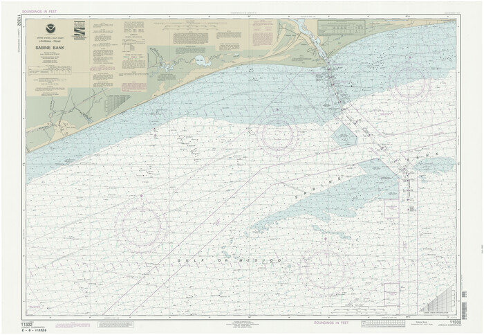
Sabine Bank
1992
-
Size
34.1 x 48.4 inches
-
Map/Doc
69854
-
Creation Date
1992

Calcasieu Pass to Sabine Pass
1992
-
Size
44.5 x 35.8 inches
-
Map/Doc
69815
-
Creation Date
1992

Sabine Bank
1990
-
Size
35.7 x 48.6 inches
-
Map/Doc
69853
-
Creation Date
1990

Sabine and Neches Rivers
1987
-
Size
19.6 x 44.7 inches
-
Map/Doc
69820
-
Creation Date
1987

Mississippi River to Galveston
1986
-
Size
36.8 x 49.9 inches
-
Map/Doc
69948
-
Creation Date
1986