Block 2 T. & N. Ry. Co., Block 97 H. T. C. Ry. Co.

Print $40.00
- Digital $50.00
Block 2 T. & N. Ry. Co., Block 97 H. T. C. Ry. Co.
1888
Size: 41.5 x 48.1 inches
89874
Chapman and Farlin Producing Co. Cogdell Ranch Kent County, Texas

Print $20.00
- Digital $50.00
Chapman and Farlin Producing Co. Cogdell Ranch Kent County, Texas
1951
Size: 12.6 x 16.6 inches
92193
Chapman and McFarlin Production Co. Cogdell Ranch Kent County, Texas

Print $2.00
- Digital $50.00
Chapman and McFarlin Production Co. Cogdell Ranch Kent County, Texas
1952
Size: 9.0 x 8.9 inches
92190
Cogdell Ranch Kent County, Texas

Print $20.00
- Digital $50.00
Cogdell Ranch Kent County, Texas
1950
Size: 36.3 x 19.2 inches
92188
Cogdell Ranch Kent County, Texas

Print $20.00
- Digital $50.00
Cogdell Ranch Kent County, Texas
1950
Size: 24.8 x 13.5 inches
92189
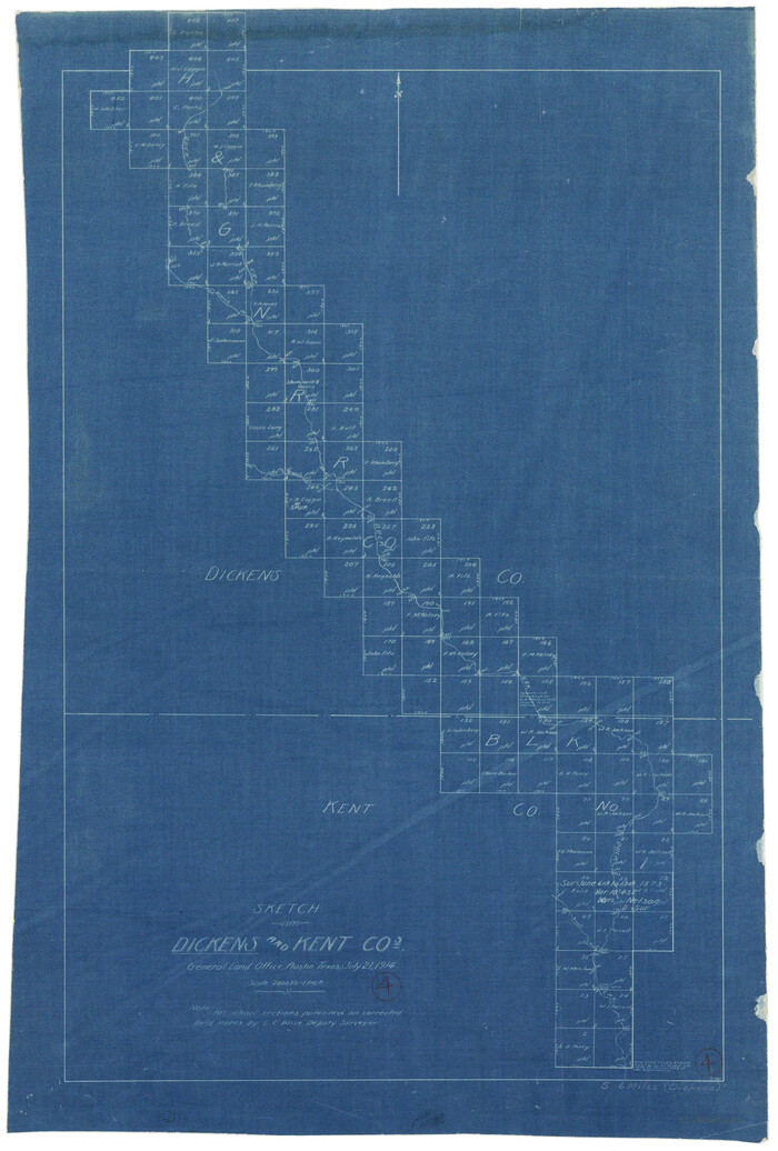
Dickens County Rolled Sketch 7

Print $20.00
- Digital $50.00
Dickens County Rolled Sketch 7
1947
Size: 33.6 x 23.6 inches
5706
Dickens County Rolled Sketch GW

Print $20.00
- Digital $50.00
Dickens County Rolled Sketch GW
1908
Size: 31.6 x 25.2 inches
5711
Dickens County Sketch File 18a

Print $20.00
- Digital $50.00
Dickens County Sketch File 18a
Size: 17.6 x 19.4 inches
11322
Dickens County Sketch File 19a

Print $23.00
- Digital $50.00
Dickens County Sketch File 19a
Size: 9.6 x 7.8 inches
21031
Dickens County Sketch File 2a

Print $4.00
- Digital $50.00
Dickens County Sketch File 2a
1884
Size: 14.2 x 8.9 inches
20950
Dickens County Sketch File 37

Print $8.00
- Digital $50.00
Dickens County Sketch File 37
Size: 10.3 x 8.3 inches
21044
Dickens County Sketch File 9

Print $4.00
- Digital $50.00
Dickens County Sketch File 9
Size: 21.6 x 20.9 inches
11319
Dickens County Sketch File G

Print $8.00
- Digital $50.00
Dickens County Sketch File G
Size: 12.0 x 8.7 inches
20854
Dickens County Sketch File L

Print $22.00
- Digital $50.00
Dickens County Sketch File L
1909
Size: 7.7 x 9.0 inches
20892
Dickens County Working Sketch 10

Print $40.00
- Digital $50.00
Dickens County Working Sketch 10
1965
Size: 62.2 x 39.5 inches
68658
Dickens County Working Sketch 4
Print $20.00
- Digital $50.00
Dickens County Working Sketch 4
1914
Size: 27.9 x 18.8 inches
68651
Dickens County Working Sketch 5

Print $20.00
- Digital $50.00
Dickens County Working Sketch 5
1914
Size: 30.6 x 20.8 inches
68652
Dickens County Working Sketch 5b

Print $40.00
- Digital $50.00
Dickens County Working Sketch 5b
1917
Size: 59.4 x 43.3 inches
68653
Dickens County Working Sketch 6

Print $20.00
- Digital $50.00
Dickens County Working Sketch 6
1932
Size: 23.7 x 30.7 inches
68654
East Part of Blk. No. 1, H. &G. N. R. R. Co. Survey

Print $40.00
- Digital $50.00
East Part of Blk. No. 1, H. &G. N. R. R. Co. Survey
Size: 22.7 x 60.6 inches
89626
Fisher County Sketch File 12

Print $22.00
- Digital $50.00
Fisher County Sketch File 12
1893
Size: 9.0 x 7.0 inches
22577
Garza County Rolled Sketch J

Print $20.00
- Digital $50.00
Garza County Rolled Sketch J
1911
Size: 27.2 x 23.4 inches
6004
Garza County Sketch File 28

Print $6.00
- Digital $50.00
Garza County Sketch File 28
1935
Size: 11.2 x 8.8 inches
24097
Garza County Sketch File 29

Print $20.00
- Digital $50.00
Garza County Sketch File 29
1935
Size: 24.8 x 26.5 inches
11548
Garza County Sketch File 5a

Print $20.00
- Digital $50.00
Garza County Sketch File 5a
1895
Size: 20.7 x 38.2 inches
10463
Garza County Sketch File B

Print $20.00
- Digital $50.00
Garza County Sketch File B
1898
Size: 19.3 x 29.4 inches
11549
Garza County Sketch File G

Print $8.00
- Digital $50.00
Garza County Sketch File G
1904
Size: 14.3 x 8.6 inches
24026
'O Bar O' Ranch

Print $20.00
- Digital $50.00
'O Bar O' Ranch
1946
-
Size
21.1 x 36.2 inches
-
Map/Doc
92162
-
Creation Date
1946
'O Bar O' Ranch

Print $40.00
- Digital $50.00
'O Bar O' Ranch
1946
-
Size
47.8 x 82.6 inches
-
Map/Doc
93202
-
Creation Date
1946
'O Bar O' Ranch

Print $40.00
- Digital $50.00
'O Bar O' Ranch
1946
-
Size
46.2 x 80.7 inches
-
Map/Doc
93209
-
Creation Date
1946
Block 2 T. & N. Ry. Co., Block 97 H. T. C. Ry. Co.
Print $40.00
- Digital $50.00
Block 2 T. & N. Ry. Co., Block 97 H. T. C. Ry. Co.
1888
-
Size
41.5 x 48.1 inches
-
Map/Doc
89874
-
Creation Date
1888
Chapman and Farlin Producing Co. Cogdell Ranch Kent County, Texas
Print $20.00
- Digital $50.00
Chapman and Farlin Producing Co. Cogdell Ranch Kent County, Texas
1951
-
Size
12.6 x 16.6 inches
-
Map/Doc
92193
-
Creation Date
1951
Chapman and McFarlin Production Co. Cogdell Ranch Kent County, Texas
Print $2.00
- Digital $50.00
Chapman and McFarlin Production Co. Cogdell Ranch Kent County, Texas
1952
-
Size
9.0 x 8.9 inches
-
Map/Doc
92190
-
Creation Date
1952
Cogdell Ranch Kent County, Texas
Print $20.00
- Digital $50.00
Cogdell Ranch Kent County, Texas
1950
-
Size
36.3 x 19.2 inches
-
Map/Doc
92188
-
Creation Date
1950
Cogdell Ranch Kent County, Texas
Print $20.00
- Digital $50.00
Cogdell Ranch Kent County, Texas
1950
-
Size
24.8 x 13.5 inches
-
Map/Doc
92189
-
Creation Date
1950
Dickens County Rolled Sketch 7
Print $20.00
- Digital $50.00
Dickens County Rolled Sketch 7
1947
-
Size
33.6 x 23.6 inches
-
Map/Doc
5706
-
Creation Date
1947
Dickens County Rolled Sketch GW
Print $20.00
- Digital $50.00
Dickens County Rolled Sketch GW
1908
-
Size
31.6 x 25.2 inches
-
Map/Doc
5711
-
Creation Date
1908
Dickens County Sketch File 18a
Print $20.00
- Digital $50.00
Dickens County Sketch File 18a
-
Size
17.6 x 19.4 inches
-
Map/Doc
11322
Dickens County Sketch File 19a
Print $23.00
- Digital $50.00
Dickens County Sketch File 19a
-
Size
9.6 x 7.8 inches
-
Map/Doc
21031
Dickens County Sketch File 2a
Print $4.00
- Digital $50.00
Dickens County Sketch File 2a
1884
-
Size
14.2 x 8.9 inches
-
Map/Doc
20950
-
Creation Date
1884
Dickens County Sketch File 37
Print $8.00
- Digital $50.00
Dickens County Sketch File 37
-
Size
10.3 x 8.3 inches
-
Map/Doc
21044
Dickens County Sketch File 9
Print $4.00
- Digital $50.00
Dickens County Sketch File 9
-
Size
21.6 x 20.9 inches
-
Map/Doc
11319
Dickens County Sketch File G
Print $8.00
- Digital $50.00
Dickens County Sketch File G
-
Size
12.0 x 8.7 inches
-
Map/Doc
20854
Dickens County Sketch File L
Print $22.00
- Digital $50.00
Dickens County Sketch File L
1909
-
Size
7.7 x 9.0 inches
-
Map/Doc
20892
-
Creation Date
1909
Dickens County Working Sketch 10
Print $40.00
- Digital $50.00
Dickens County Working Sketch 10
1965
-
Size
62.2 x 39.5 inches
-
Map/Doc
68658
-
Creation Date
1965
Dickens County Working Sketch 4
Print $20.00
- Digital $50.00
Dickens County Working Sketch 4
1914
-
Size
27.9 x 18.8 inches
-
Map/Doc
68651
-
Creation Date
1914
Dickens County Working Sketch 5
Print $20.00
- Digital $50.00
Dickens County Working Sketch 5
1914
-
Size
30.6 x 20.8 inches
-
Map/Doc
68652
-
Creation Date
1914
Dickens County Working Sketch 5b
Print $40.00
- Digital $50.00
Dickens County Working Sketch 5b
1917
-
Size
59.4 x 43.3 inches
-
Map/Doc
68653
-
Creation Date
1917
Dickens County Working Sketch 6
Print $20.00
- Digital $50.00
Dickens County Working Sketch 6
1932
-
Size
23.7 x 30.7 inches
-
Map/Doc
68654
-
Creation Date
1932
East Part of Blk. No. 1, H. &G. N. R. R. Co. Survey
Print $40.00
- Digital $50.00
East Part of Blk. No. 1, H. &G. N. R. R. Co. Survey
-
Size
22.7 x 60.6 inches
-
Map/Doc
89626
Fisher County Sketch File 12
Print $22.00
- Digital $50.00
Fisher County Sketch File 12
1893
-
Size
9.0 x 7.0 inches
-
Map/Doc
22577
-
Creation Date
1893
Garza County Rolled Sketch J
Print $20.00
- Digital $50.00
Garza County Rolled Sketch J
1911
-
Size
27.2 x 23.4 inches
-
Map/Doc
6004
-
Creation Date
1911
Garza County Sketch File 28
Print $6.00
- Digital $50.00
Garza County Sketch File 28
1935
-
Size
11.2 x 8.8 inches
-
Map/Doc
24097
-
Creation Date
1935
Garza County Sketch File 29
Print $20.00
- Digital $50.00
Garza County Sketch File 29
1935
-
Size
24.8 x 26.5 inches
-
Map/Doc
11548
-
Creation Date
1935
Garza County Sketch File 5a
Print $20.00
- Digital $50.00
Garza County Sketch File 5a
1895
-
Size
20.7 x 38.2 inches
-
Map/Doc
10463
-
Creation Date
1895
Garza County Sketch File B
Print $20.00
- Digital $50.00
Garza County Sketch File B
1898
-
Size
19.3 x 29.4 inches
-
Map/Doc
11549
-
Creation Date
1898
Garza County Sketch File G
Print $8.00
- Digital $50.00
Garza County Sketch File G
1904
-
Size
14.3 x 8.6 inches
-
Map/Doc
24026
-
Creation Date
1904