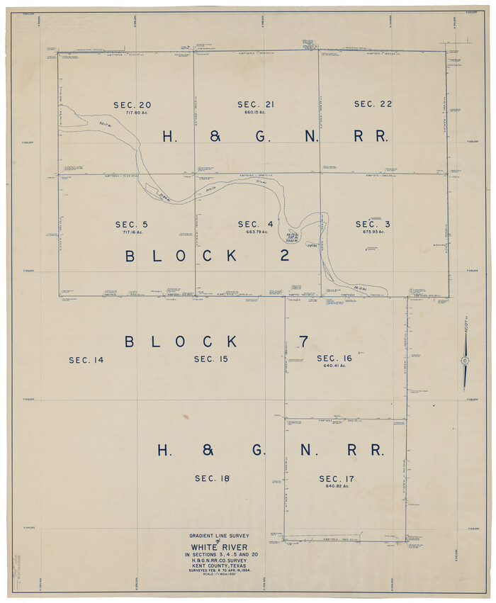
Kent County Rolled Sketch 7
1954

Stonewall County Sketch File B1
1901

Garza County Sketch File 5a
1895
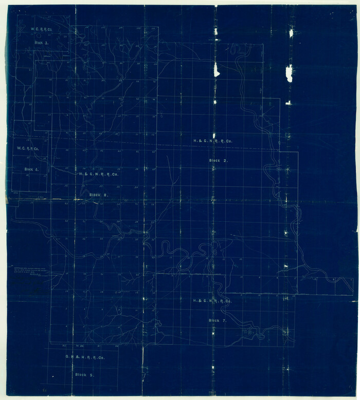
Garza County Sketch File H

Kent County Sketch File 7
1902

Kent County Sketch File 8
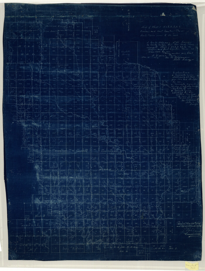
Map of Block 1, H. & G. N. R. R. Co., Dickens and Kent Counties Texas
1908

Dickens County Sketch File 9

Dickens County Sketch File 18a
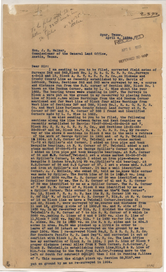
Garza County Sketch File 29
1935
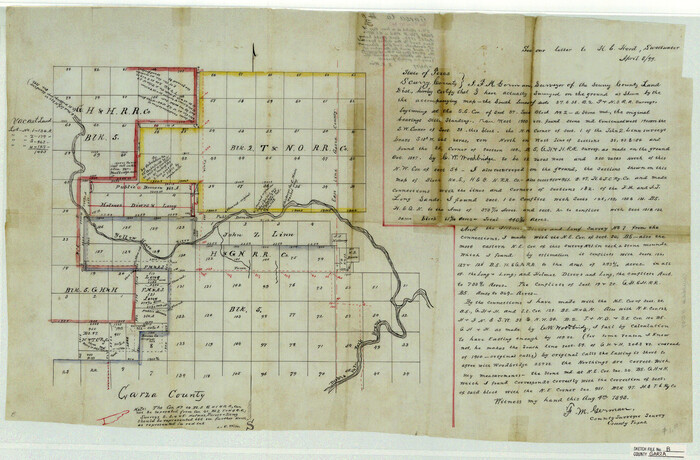
Garza County Sketch File B
1898

Garza County Sketch File G-1
1904

Garza County Sketch File J
1911

Kent County Sketch File 4
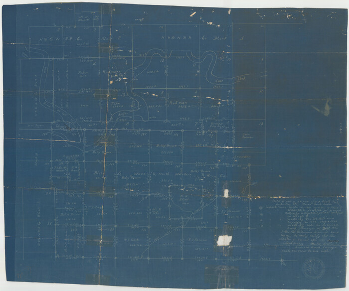
Kent County Sketch File 10
1924
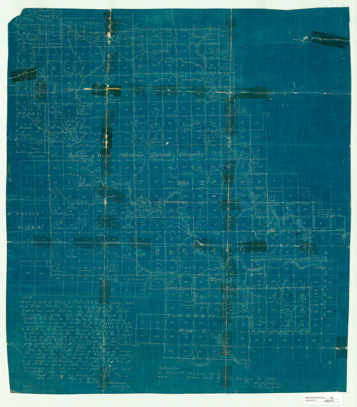
Kent County Sketch File 12
1911

Stonewall County Sketch File 4

Map of Southeastern Part of Young Territory
1874

Dickens County Sketch File G
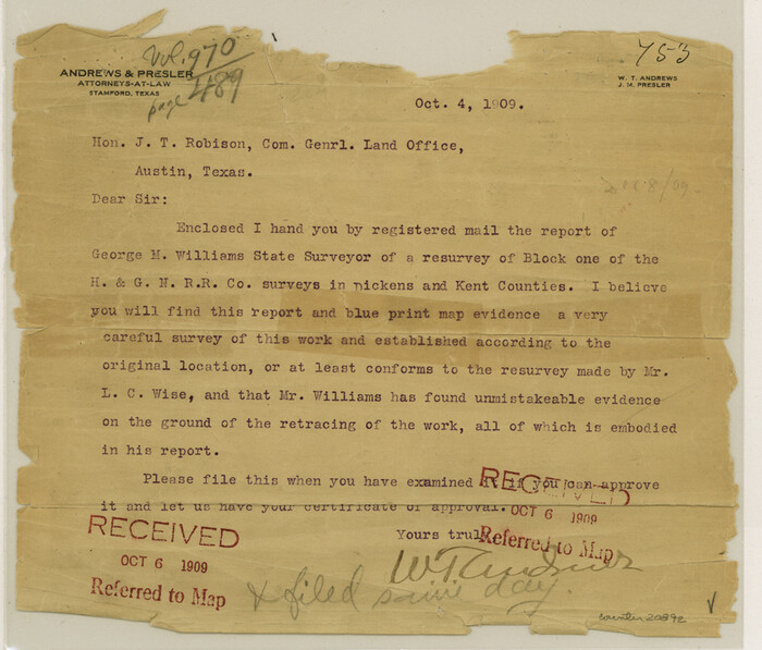
Dickens County Sketch File L
1909

Dickens County Sketch File 2a
1884
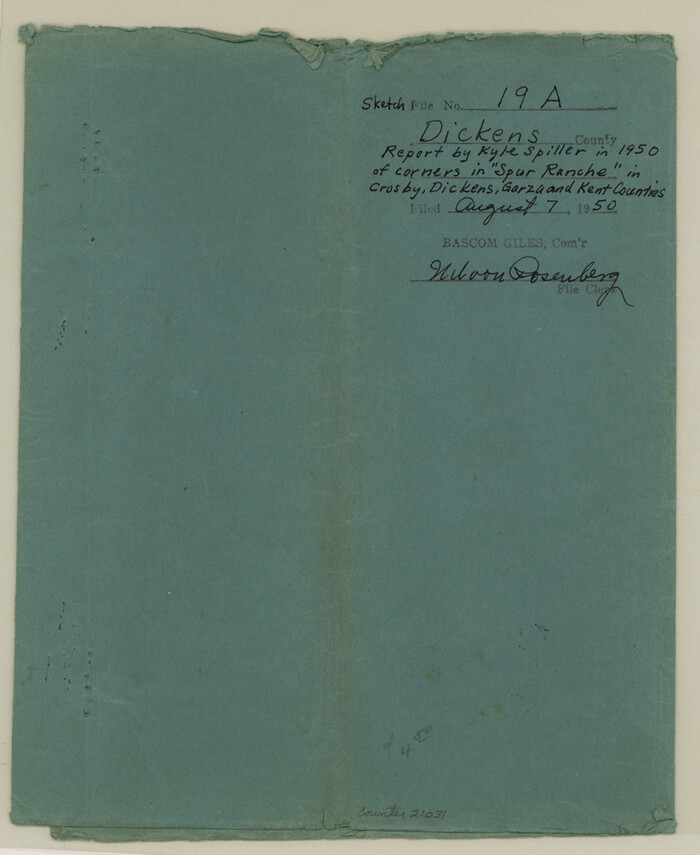
Dickens County Sketch File 19a

Dickens County Sketch File 37
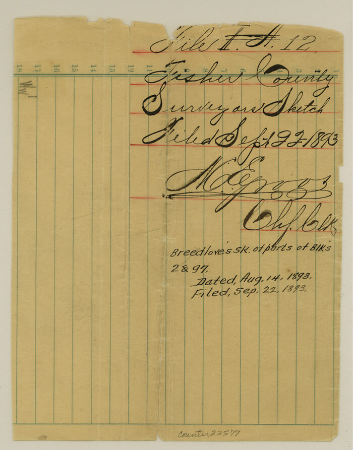
Fisher County Sketch File 12
1893

Garza County Sketch File G
1904
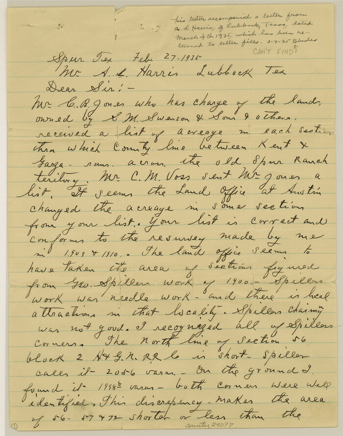
Garza County Sketch File 28
1935
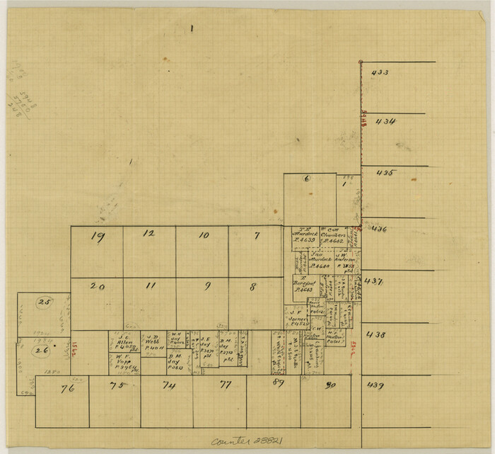
Kent County Sketch File A

Kent County Sketch File 1
1882

Kent County Rolled Sketch 7
1954
-
Size
51.8 x 42.6 inches
-
Map/Doc
10221
-
Creation Date
1954

Stonewall County Sketch File B1
1901
-
Size
36.2 x 34.9 inches
-
Map/Doc
10379
-
Creation Date
1901

Garza County Sketch File 5a
1895
-
Size
20.7 x 38.2 inches
-
Map/Doc
10463
-
Creation Date
1895

Garza County Sketch File H
-
Size
43.1 x 38.7 inches
-
Map/Doc
10472

Kent County Sketch File 7
1902
-
Size
21.7 x 37.6 inches
-
Map/Doc
10514
-
Creation Date
1902

Kent County Sketch File 8
-
Size
19.0 x 40.8 inches
-
Map/Doc
10515

Map of Block 1, H. & G. N. R. R. Co., Dickens and Kent Counties Texas
1908
-
Size
32.0 x 24.2 inches
-
Map/Doc
10780
-
Creation Date
1908

Dickens County Sketch File 9
-
Size
21.6 x 20.9 inches
-
Map/Doc
11319

Dickens County Sketch File 18a
-
Size
17.6 x 19.4 inches
-
Map/Doc
11322

Garza County Sketch File 29
1935
-
Size
24.8 x 26.5 inches
-
Map/Doc
11548
-
Creation Date
1935

Garza County Sketch File B
1898
-
Size
19.3 x 29.4 inches
-
Map/Doc
11549
-
Creation Date
1898

Garza County Sketch File G-1
1904
-
Size
20.4 x 20.6 inches
-
Map/Doc
11554
-
Creation Date
1904

Garza County Sketch File J
1911
-
Size
26.5 x 7.5 inches
-
Map/Doc
11555
-
Creation Date
1911

Kent County Sketch File 4
-
Size
27.5 x 28.3 inches
-
Map/Doc
11912

Kent County Sketch File 10
1924
-
Size
22.1 x 35.5 inches
-
Map/Doc
11914
-
Creation Date
1924

Kent County Sketch File 12
1911
-
Size
26.8 x 23.6 inches
-
Map/Doc
11916
-
Creation Date
1911

Stonewall County Sketch File 4
-
Size
18.2 x 25.7 inches
-
Map/Doc
12363

Kent County
1921
-
Size
40.7 x 38.6 inches
-
Map/Doc
16864
-
Creation Date
1921

Young Territory
1873
-
Size
29.2 x 29.9 inches
-
Map/Doc
1976
-
Creation Date
1873

Map of Southeastern Part of Young Territory
1874
-
Size
54.7 x 30.1 inches
-
Map/Doc
1989
-
Creation Date
1874

Dickens County Sketch File G
-
Size
12.0 x 8.7 inches
-
Map/Doc
20854

Dickens County Sketch File L
1909
-
Size
7.7 x 9.0 inches
-
Map/Doc
20892
-
Creation Date
1909

Dickens County Sketch File 2a
1884
-
Size
14.2 x 8.9 inches
-
Map/Doc
20950
-
Creation Date
1884

Dickens County Sketch File 19a
-
Size
9.6 x 7.8 inches
-
Map/Doc
21031

Dickens County Sketch File 37
-
Size
10.3 x 8.3 inches
-
Map/Doc
21044

Fisher County Sketch File 12
1893
-
Size
9.0 x 7.0 inches
-
Map/Doc
22577
-
Creation Date
1893

Garza County Sketch File G
1904
-
Size
14.3 x 8.6 inches
-
Map/Doc
24026
-
Creation Date
1904

Garza County Sketch File 28
1935
-
Size
11.2 x 8.8 inches
-
Map/Doc
24097
-
Creation Date
1935

Kent County Sketch File A
-
Size
8.2 x 9.0 inches
-
Map/Doc
28821

Kent County Sketch File 1
1882
-
Size
10.9 x 12.2 inches
-
Map/Doc
28823
-
Creation Date
1882