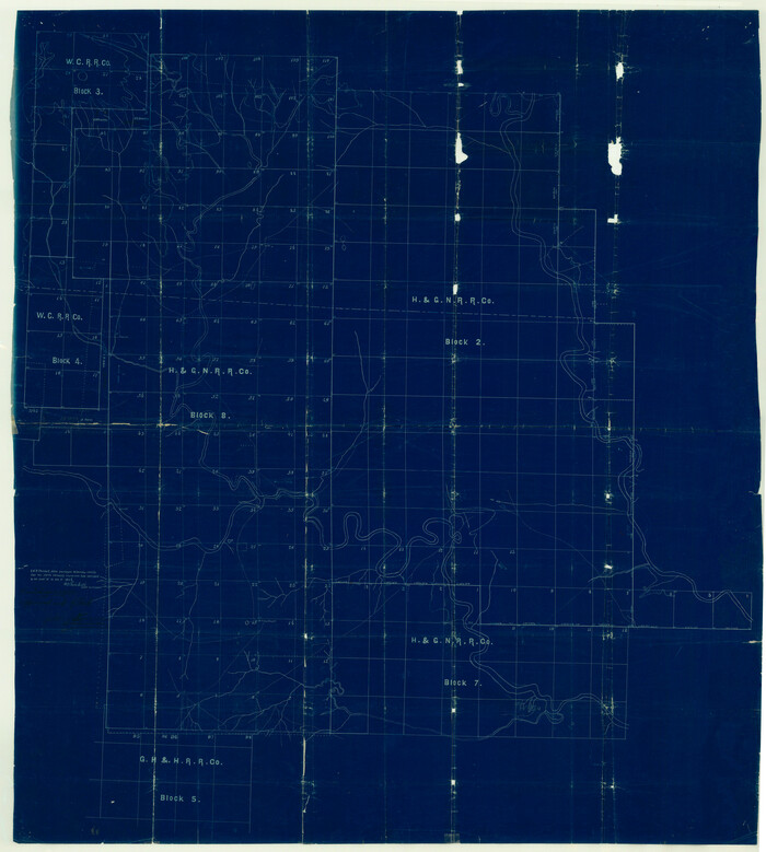
Garza County Sketch File H

Print $20.00
- Digital $50.00
Garza County Sketch File H
Size: 43.1 x 38.7 inches
10472
Kent County Sketch File 8


Print $20.00
- Digital $50.00
Kent County Sketch File 8
Size: 19.0 x 40.8 inches
10515
Dickens County Sketch File 9


Print $4.00
- Digital $50.00
Dickens County Sketch File 9
Size: 21.6 x 20.9 inches
11319
Dickens County Sketch File 18a


Print $20.00
- Digital $50.00
Dickens County Sketch File 18a
Size: 17.6 x 19.4 inches
11322
Kent County Sketch File 4


Print $20.00
- Digital $50.00
Kent County Sketch File 4
Size: 27.5 x 28.3 inches
11912
Stonewall County Sketch File 4


Print $20.00
- Digital $50.00
Stonewall County Sketch File 4
Size: 18.2 x 25.7 inches
12363
Dickens County Sketch File G


Print $8.00
- Digital $50.00
Dickens County Sketch File G
Size: 12.0 x 8.7 inches
20854
Dickens County Sketch File 19a

Print $23.00
- Digital $50.00
Dickens County Sketch File 19a
Size: 9.6 x 7.8 inches
21031
Dickens County Sketch File 37


Print $8.00
- Digital $50.00
Dickens County Sketch File 37
Size: 10.3 x 8.3 inches
21044
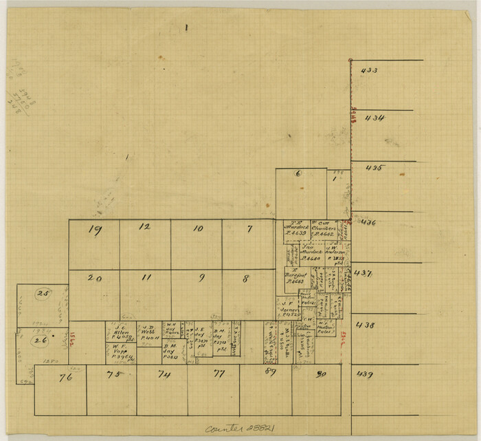
Kent County Sketch File A

Print $4.00
- Digital $50.00
Kent County Sketch File A
Size: 8.2 x 9.0 inches
28821
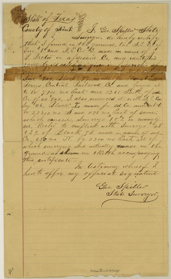
Kent County Sketch File 3

Print $4.00
- Digital $50.00
Kent County Sketch File 3
Size: 14.2 x 8.7 inches
28825
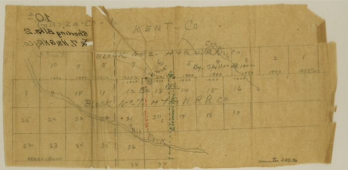
Kent County Sketch File 10a

Print $4.00
- Digital $50.00
Kent County Sketch File 10a
Size: 5.9 x 12.0 inches
28836
Stonewall County Sketch File 5


Print $40.00
- Digital $50.00
Stonewall County Sketch File 5
Size: 14.9 x 14.4 inches
37206
Kent County Boundary File 1


Print $54.00
- Digital $50.00
Kent County Boundary File 1
Size: 14.2 x 8.5 inches
55795
Kent County Boundary File 2


Print $4.00
- Digital $50.00
Kent County Boundary File 2
Size: 10.1 x 8.2 inches
55822
Kent County Boundary File 3


Print $8.00
- Digital $50.00
Kent County Boundary File 3
Size: 11.2 x 8.6 inches
55824
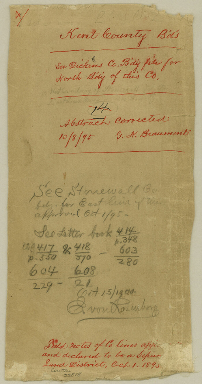
Kent County Boundary File 4

Print $20.00
- Digital $50.00
Kent County Boundary File 4
Size: 8.8 x 4.6 inches
55828
Kent County Boundary File 4a


Print $18.00
- Digital $50.00
Kent County Boundary File 4a
Size: 14.2 x 8.5 inches
55838
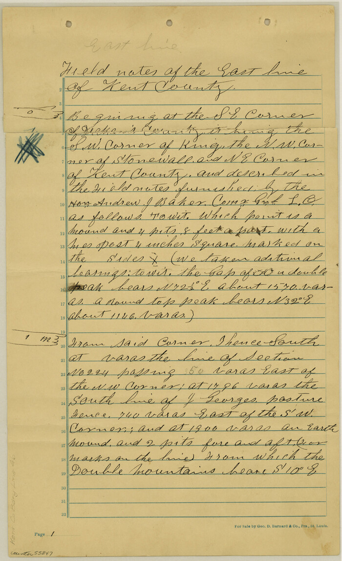
Kent County Boundary File 4b

Print $36.00
- Digital $50.00
Kent County Boundary File 4b
Size: 14.2 x 8.7 inches
55847
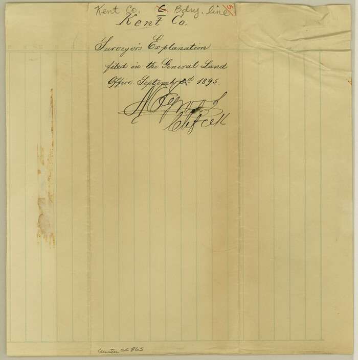
Kent County Boundary File 5

Print $6.00
- Digital $50.00
Kent County Boundary File 5
Size: 8.6 x 8.6 inches
55865
Kent County Boundary File 6
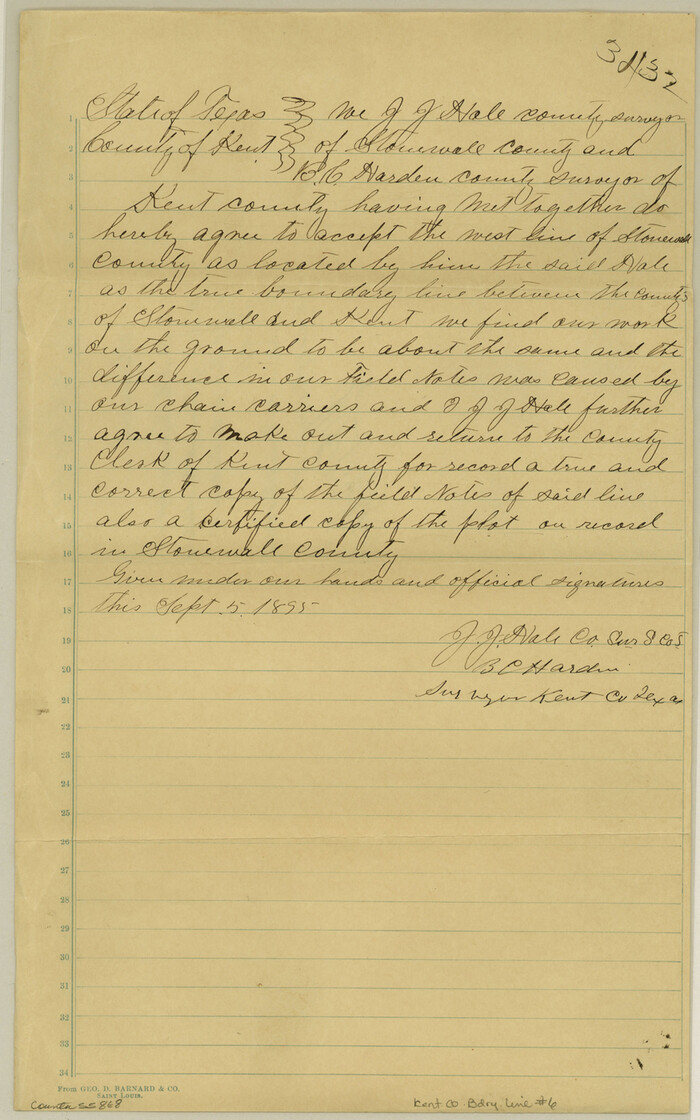

Print $4.00
- Digital $50.00
Kent County Boundary File 6
Size: 14.1 x 8.8 inches
55868
Kent County Boundary File 7


Print $6.00
- Digital $50.00
Kent County Boundary File 7
Size: 10.8 x 8.7 inches
55870
Kent County Boundary File 8


Print $20.00
- Digital $50.00
Kent County Boundary File 8
Size: 14.2 x 8.6 inches
55873
Kent County Boundary File 9


Print $8.00
- Digital $50.00
Kent County Boundary File 9
Size: 14.1 x 8.8 inches
55883
Kent County Boundary File 10


Print $16.00
- Digital $50.00
Kent County Boundary File 10
Size: 14.0 x 8.8 inches
55887
Kent County Boundary File 11


Print $4.00
- Digital $50.00
Kent County Boundary File 11
Size: 13.9 x 8.8 inches
55895
Kent County Boundary File 12


Print $30.00
- Digital $50.00
Kent County Boundary File 12
Size: 10.5 x 8.2 inches
55897
Kent County Rolled Sketch 6


Print $20.00
- Digital $50.00
Kent County Rolled Sketch 6
Size: 39.0 x 36.5 inches
6476
Kent County Working Sketch 10


Print $20.00
- Digital $50.00
Kent County Working Sketch 10
Size: 34.1 x 43.0 inches
70017
Kent County Working Sketch 11
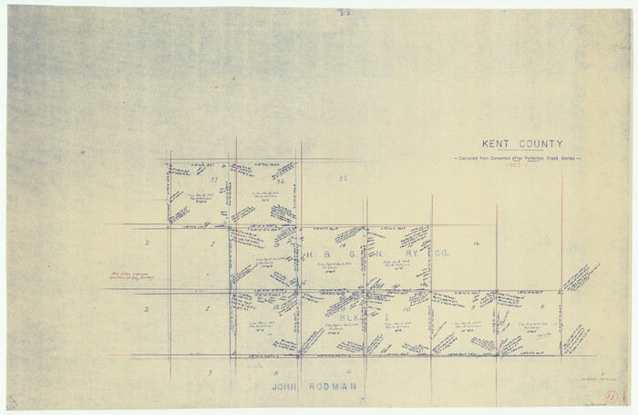

Print $20.00
- Digital $50.00
Kent County Working Sketch 11
Size: 24.3 x 37.4 inches
70018
Garza County Sketch File H


Print $20.00
- Digital $50.00
Garza County Sketch File H
-
Size
43.1 x 38.7 inches
-
Map/Doc
10472
Kent County Sketch File 8


Print $20.00
- Digital $50.00
Kent County Sketch File 8
-
Size
19.0 x 40.8 inches
-
Map/Doc
10515
Dickens County Sketch File 9


Print $4.00
- Digital $50.00
Dickens County Sketch File 9
-
Size
21.6 x 20.9 inches
-
Map/Doc
11319
Dickens County Sketch File 18a


Print $20.00
- Digital $50.00
Dickens County Sketch File 18a
-
Size
17.6 x 19.4 inches
-
Map/Doc
11322
Kent County Sketch File 4


Print $20.00
- Digital $50.00
Kent County Sketch File 4
-
Size
27.5 x 28.3 inches
-
Map/Doc
11912
Stonewall County Sketch File 4


Print $20.00
- Digital $50.00
Stonewall County Sketch File 4
-
Size
18.2 x 25.7 inches
-
Map/Doc
12363
Dickens County Sketch File G


Print $8.00
- Digital $50.00
Dickens County Sketch File G
-
Size
12.0 x 8.7 inches
-
Map/Doc
20854
Dickens County Sketch File 19a


Print $23.00
- Digital $50.00
Dickens County Sketch File 19a
-
Size
9.6 x 7.8 inches
-
Map/Doc
21031
Dickens County Sketch File 37


Print $8.00
- Digital $50.00
Dickens County Sketch File 37
-
Size
10.3 x 8.3 inches
-
Map/Doc
21044
Kent County Sketch File A


Print $4.00
- Digital $50.00
Kent County Sketch File A
-
Size
8.2 x 9.0 inches
-
Map/Doc
28821
Kent County Sketch File 3


Print $4.00
- Digital $50.00
Kent County Sketch File 3
-
Size
14.2 x 8.7 inches
-
Map/Doc
28825
Kent County Sketch File 10a


Print $4.00
- Digital $50.00
Kent County Sketch File 10a
-
Size
5.9 x 12.0 inches
-
Map/Doc
28836
Stonewall County Sketch File 5


Print $40.00
- Digital $50.00
Stonewall County Sketch File 5
-
Size
14.9 x 14.4 inches
-
Map/Doc
37206
Kent County Boundary File 1


Print $54.00
- Digital $50.00
Kent County Boundary File 1
-
Size
14.2 x 8.5 inches
-
Map/Doc
55795
Kent County Boundary File 2


Print $4.00
- Digital $50.00
Kent County Boundary File 2
-
Size
10.1 x 8.2 inches
-
Map/Doc
55822
Kent County Boundary File 3


Print $8.00
- Digital $50.00
Kent County Boundary File 3
-
Size
11.2 x 8.6 inches
-
Map/Doc
55824
Kent County Boundary File 4


Print $20.00
- Digital $50.00
Kent County Boundary File 4
-
Size
8.8 x 4.6 inches
-
Map/Doc
55828
Kent County Boundary File 4a


Print $18.00
- Digital $50.00
Kent County Boundary File 4a
-
Size
14.2 x 8.5 inches
-
Map/Doc
55838
Kent County Boundary File 4b


Print $36.00
- Digital $50.00
Kent County Boundary File 4b
-
Size
14.2 x 8.7 inches
-
Map/Doc
55847
Kent County Boundary File 5


Print $6.00
- Digital $50.00
Kent County Boundary File 5
-
Size
8.6 x 8.6 inches
-
Map/Doc
55865
Kent County Boundary File 6


Print $4.00
- Digital $50.00
Kent County Boundary File 6
-
Size
14.1 x 8.8 inches
-
Map/Doc
55868
Kent County Boundary File 7


Print $6.00
- Digital $50.00
Kent County Boundary File 7
-
Size
10.8 x 8.7 inches
-
Map/Doc
55870
Kent County Boundary File 8


Print $20.00
- Digital $50.00
Kent County Boundary File 8
-
Size
14.2 x 8.6 inches
-
Map/Doc
55873
Kent County Boundary File 9


Print $8.00
- Digital $50.00
Kent County Boundary File 9
-
Size
14.1 x 8.8 inches
-
Map/Doc
55883
Kent County Boundary File 10


Print $16.00
- Digital $50.00
Kent County Boundary File 10
-
Size
14.0 x 8.8 inches
-
Map/Doc
55887
Kent County Boundary File 11


Print $4.00
- Digital $50.00
Kent County Boundary File 11
-
Size
13.9 x 8.8 inches
-
Map/Doc
55895
Kent County Boundary File 12


Print $30.00
- Digital $50.00
Kent County Boundary File 12
-
Size
10.5 x 8.2 inches
-
Map/Doc
55897
Kent County Rolled Sketch 6


Print $20.00
- Digital $50.00
Kent County Rolled Sketch 6
-
Size
39.0 x 36.5 inches
-
Map/Doc
6476
Kent County Working Sketch 10


Print $20.00
- Digital $50.00
Kent County Working Sketch 10
-
Size
34.1 x 43.0 inches
-
Map/Doc
70017
Kent County Working Sketch 11


Print $20.00
- Digital $50.00
Kent County Working Sketch 11
-
Size
24.3 x 37.4 inches
-
Map/Doc
70018