
The Absolem C. De La Plain League and Labor of Land
2013
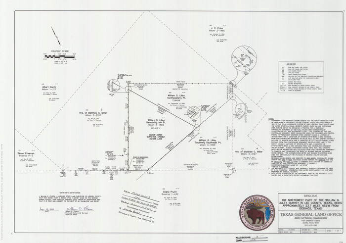
Lee County Rolled Sketch 3
2010
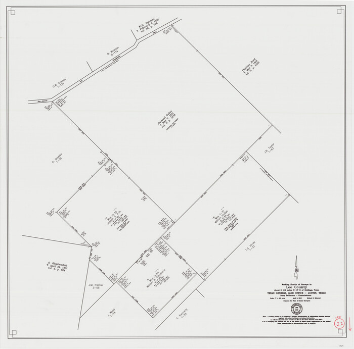
Lee County Working Sketch 22
2010
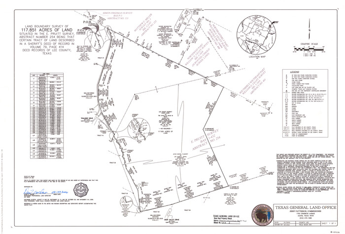
Lee County State Real Property Sketch 1
2010

Lee County Sketch File 10
2009
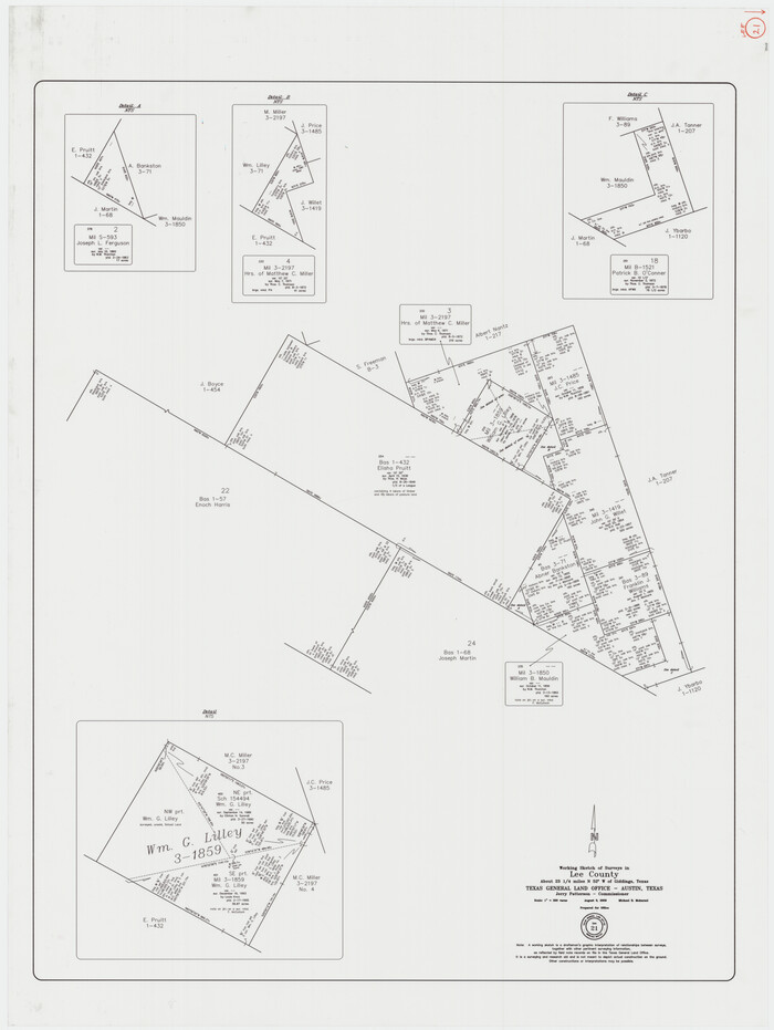
Lee County Working Sketch 21
2009

Lee County Working Sketch 20
1992

Washington County Working Sketch 3
1992
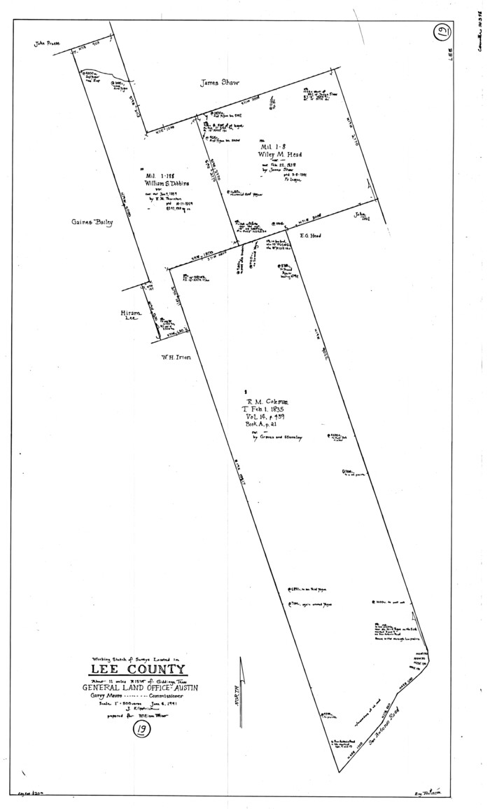
Lee County Working Sketch 19
1991
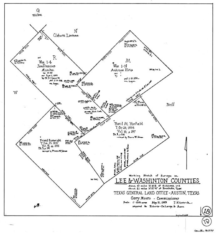
Lee County Working Sketch 18
1989
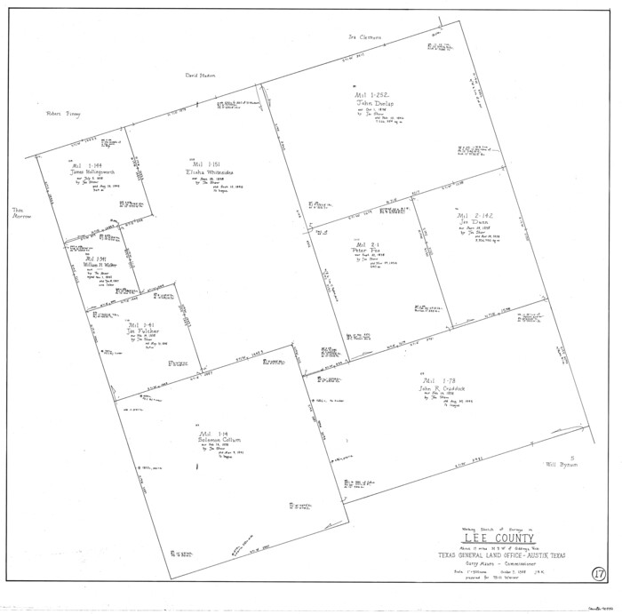
Lee County Working Sketch 17
1988
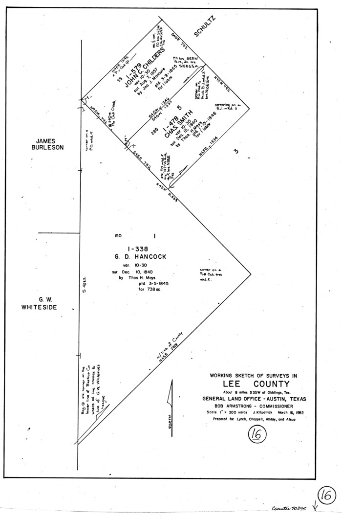
Lee County Working Sketch 16
1982

Lee County Working Sketch 15
1981
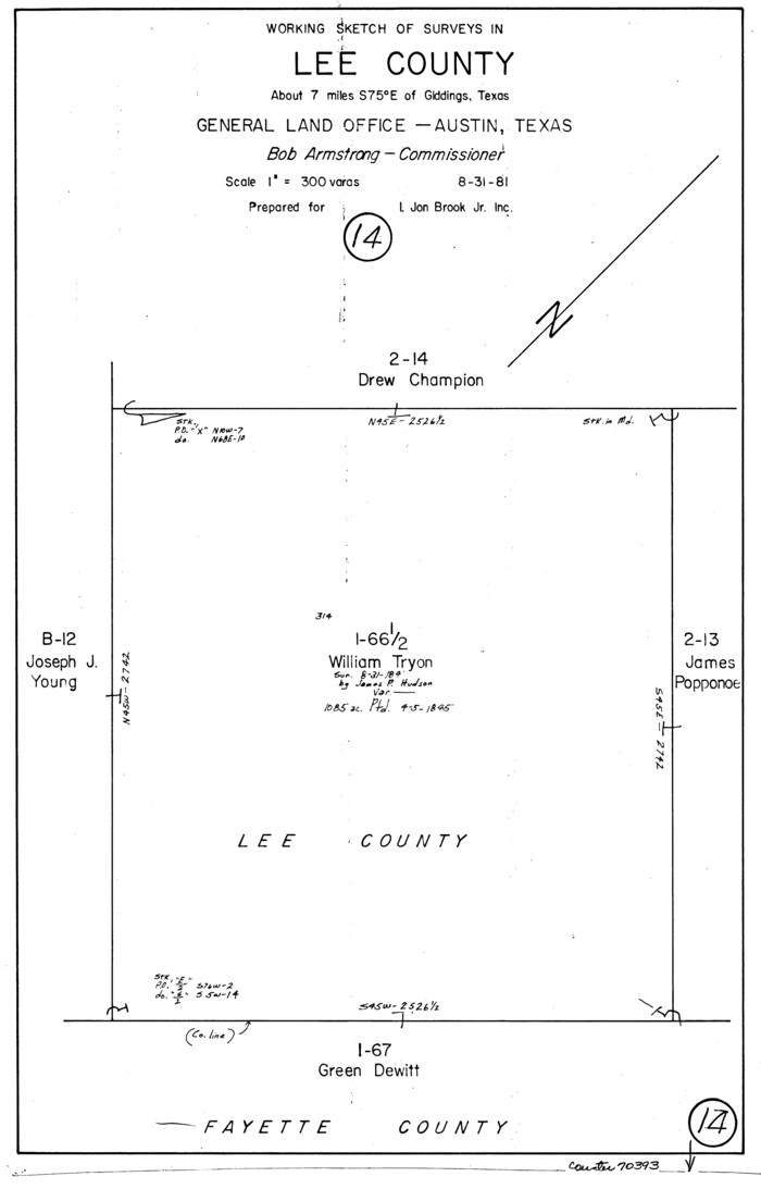
Lee County Working Sketch 14
1981
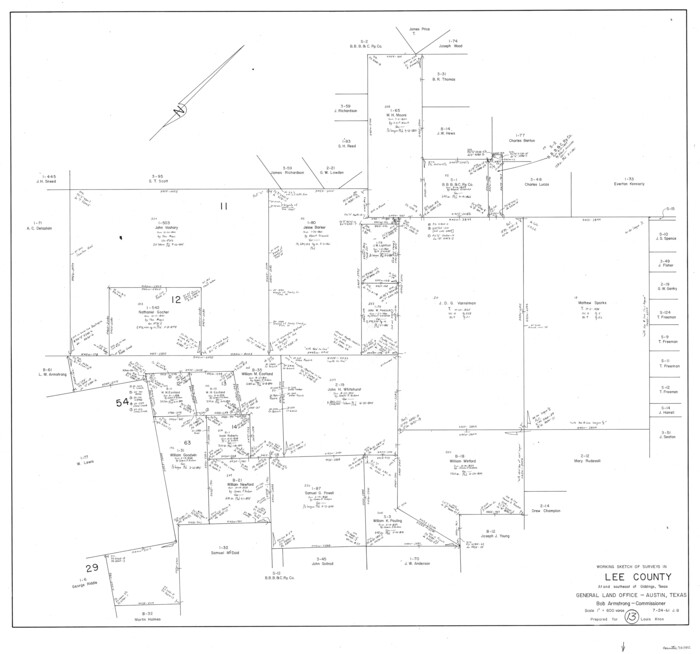
Lee County Working Sketch 13
1981
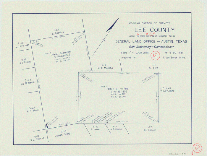
Lee County Working Sketch 12
1980
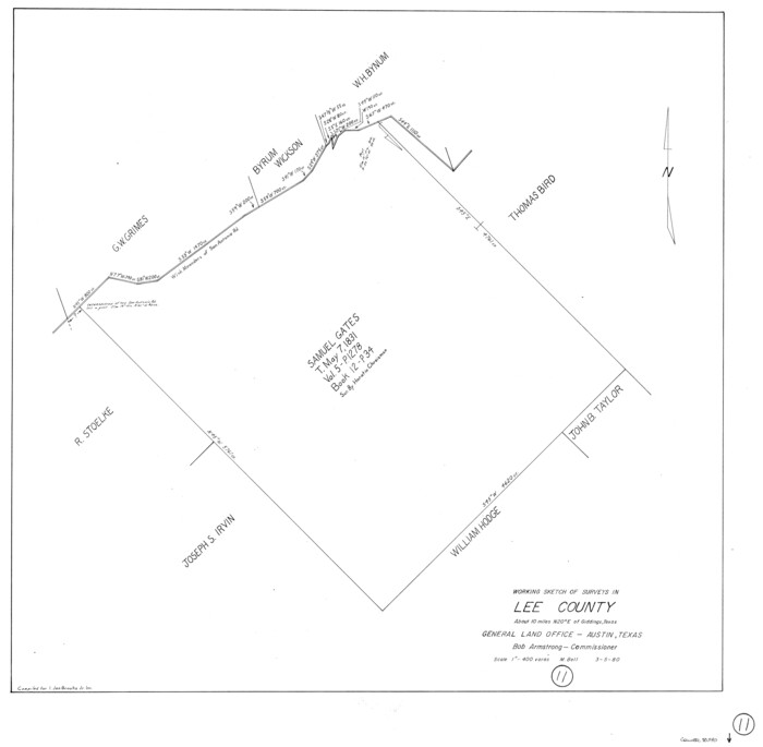
Lee County Working Sketch 11
1980
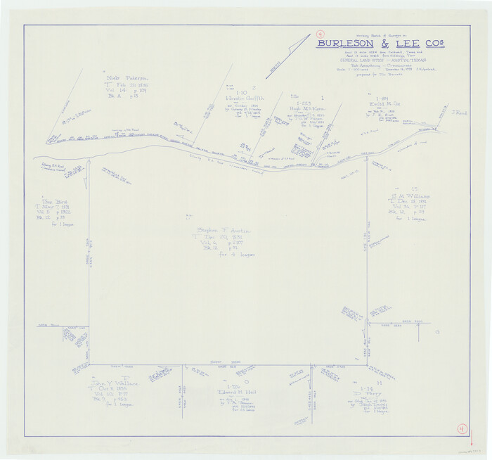
Burleson County Working Sketch 4
1979

Lee County Working Sketch 10
1979

Lee County Working Sketch 8
1979
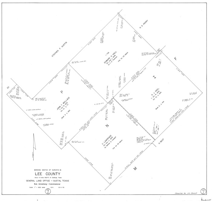
Lee County Working Sketch 9
1979

Lee County Working Sketch 7
1977
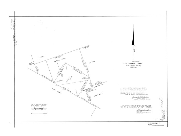
Lee County Rolled Sketch 2
1976
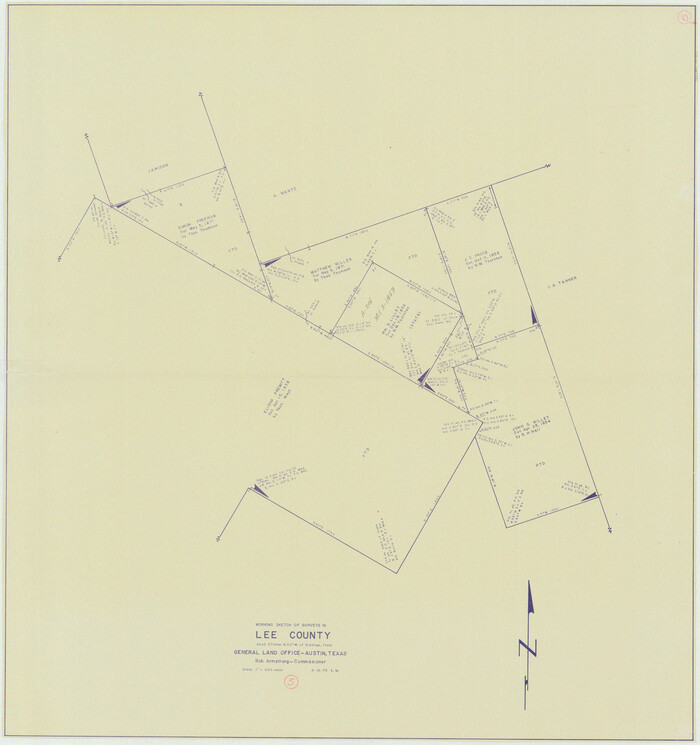
Lee County Working Sketch 5
1975
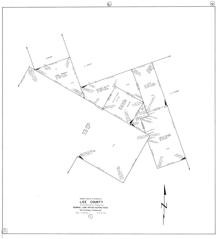
Lee County Working Sketch 6
1975
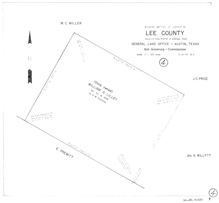
Lee County Working Sketch 4
1973
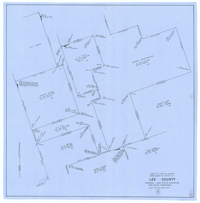
Lee County Working Sketch 3
1968
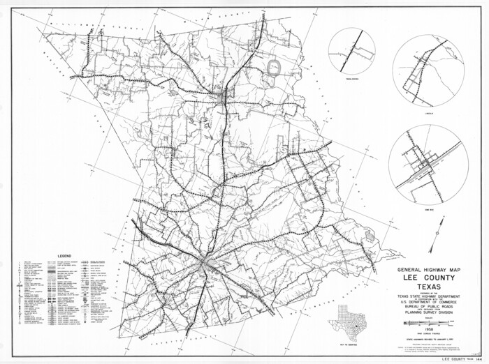
General Highway Map, Lee County, Texas
1961

The Absolem C. De La Plain League and Labor of Land
2013
-
Size
30.0 x 24.0 inches
-
Map/Doc
93425
-
Creation Date
2013

Lee County Rolled Sketch 3
2010
-
Size
25.5 x 36.0 inches
-
Map/Doc
89288
-
Creation Date
2010

Lee County Working Sketch 22
2010
-
Size
29.2 x 29.6 inches
-
Map/Doc
89271
-
Creation Date
2010

Lee County State Real Property Sketch 1
2010
-
Size
24.3 x 35.9 inches
-
Map/Doc
89286
-
Creation Date
2010

Lee County Sketch File 10
2009
-
Size
11.0 x 8.5 inches
-
Map/Doc
89289
-
Creation Date
2009

Lee County Working Sketch 21
2009
-
Size
48.7 x 36.6 inches
-
Map/Doc
89258
-
Creation Date
2009

Lee County Working Sketch 20
1992
-
Size
25.3 x 35.4 inches
-
Map/Doc
70399
-
Creation Date
1992

Washington County Working Sketch 3
1992
-
Size
31.5 x 42.7 inches
-
Map/Doc
72364
-
Creation Date
1992

Lee County Working Sketch 19
1991
-
Size
33.1 x 20.1 inches
-
Map/Doc
70398
-
Creation Date
1991

Lee County Working Sketch 18
1989
-
Size
18.3 x 17.2 inches
-
Map/Doc
70397
-
Creation Date
1989

Lee County Working Sketch 17
1988
-
Size
31.8 x 32.2 inches
-
Map/Doc
70396
-
Creation Date
1988

Lee County Working Sketch 16
1982
-
Size
20.5 x 13.5 inches
-
Map/Doc
70395
-
Creation Date
1982

Lee County Working Sketch 15
1981
-
Size
18.4 x 14.0 inches
-
Map/Doc
70394
-
Creation Date
1981

Lee County Working Sketch 14
1981
-
Size
17.9 x 11.4 inches
-
Map/Doc
70393
-
Creation Date
1981

Lee County Working Sketch 13
1981
-
Size
33.4 x 35.7 inches
-
Map/Doc
70392
-
Creation Date
1981

Lee County Working Sketch 12
1980
-
Size
12.3 x 16.3 inches
-
Map/Doc
70391
-
Creation Date
1980

Lee County Working Sketch 11
1980
-
Size
25.2 x 25.7 inches
-
Map/Doc
70390
-
Creation Date
1980

Burleson County Working Sketch 4
1979
-
Size
33.3 x 35.6 inches
-
Map/Doc
67723
-
Creation Date
1979

Lee County Working Sketch 10
1979
-
Size
32.6 x 35.4 inches
-
Map/Doc
70389
-
Creation Date
1979

Lee County Working Sketch 8
1979
-
Size
27.8 x 37.1 inches
-
Map/Doc
70387
-
Creation Date
1979

Lee County Working Sketch 9
1979
-
Size
26.7 x 28.0 inches
-
Map/Doc
70388
-
Creation Date
1979

Lee County Working Sketch 7
1977
-
Size
27.0 x 16.8 inches
-
Map/Doc
70386
-
Creation Date
1977

Lee County Rolled Sketch 2
1976
-
Size
25.9 x 34.4 inches
-
Map/Doc
6593
-
Creation Date
1976

Lee County Working Sketch 5
1975
-
Size
38.5 x 36.2 inches
-
Map/Doc
70384
-
Creation Date
1975

Lee County Working Sketch 6
1975
-
Size
39.7 x 36.3 inches
-
Map/Doc
70385
-
Creation Date
1975

Lee County Working Sketch 4
1973
-
Size
17.1 x 18.4 inches
-
Map/Doc
70383
-
Creation Date
1973

Lee County Working Sketch 3
1968
-
Size
37.9 x 37.3 inches
-
Map/Doc
70382
-
Creation Date
1968

General Highway Map, Lee County, Texas
1961
-
Size
18.4 x 24.6 inches
-
Map/Doc
79567
-
Creation Date
1961
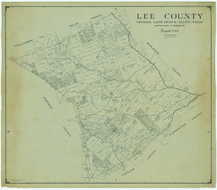
Lee County
1945
-
Size
39.7 x 45.4 inches
-
Map/Doc
1882
-
Creation Date
1945

Lee County
1945
-
Size
39.4 x 45.4 inches
-
Map/Doc
73217
-
Creation Date
1945