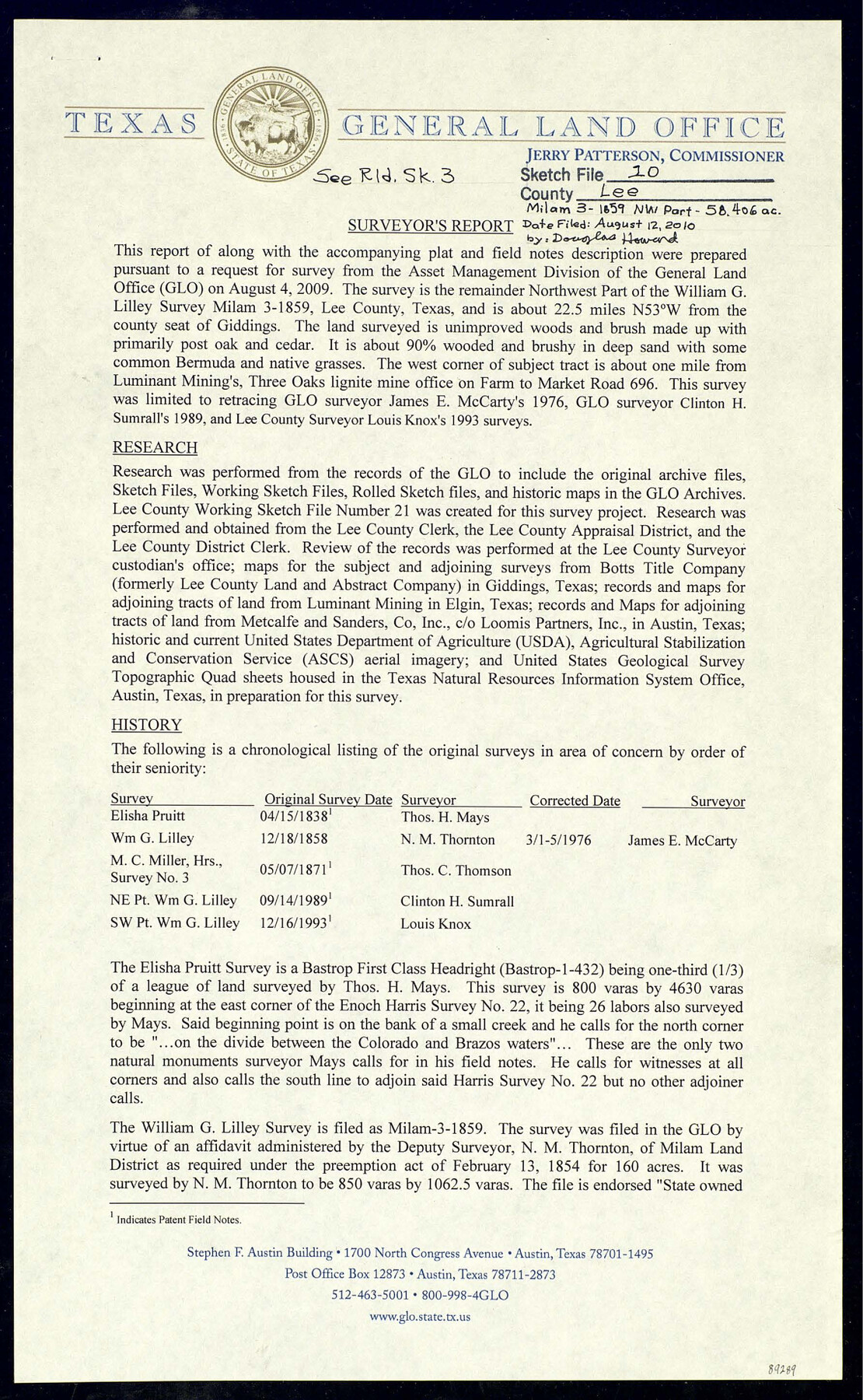
Lee County Sketch File 10
Report of survey of the northwest part, 58.406 acres of MIL 3-1859, William G. Lilley Survey
-
Map/Doc
89289
-
Collection
General Map Collection
-
Object Dates
8/12/2010 (File Date)
8/4/2009 (Creation Date)
-
People and Organizations
Bill O'Hara (Surveyor/Engineer)
David A. McDow (Surveyor/Engineer)
-
Counties
Lee
-
Subjects
Surveying Sketch File
-
Height x Width
11.0 x 8.5 inches
27.9 x 21.6 cm
-
Medium
paper, print
-
Comments
See Lee County Rolled Sketch 3 (89288) for sketch.
Related maps
Lee County Rolled Sketch 3

Print $20.00
- Digital $50.00
Lee County Rolled Sketch 3
2010
Size 25.5 x 36.0 inches
Map/Doc 89288
Part of: General Map Collection
Foard County Sketch File 21

Print $14.00
- Digital $50.00
Foard County Sketch File 21
Size 13.1 x 8.6 inches
Map/Doc 22839
Gillespie County Sketch File 16

Print $20.00
- Digital $50.00
Gillespie County Sketch File 16
1951
Size 18.2 x 17.9 inches
Map/Doc 11557
Upshur County

Print $20.00
- Digital $50.00
Upshur County
1945
Size 40.3 x 36.2 inches
Map/Doc 63085
Webb County Rolled Sketch 76

Print $20.00
- Digital $50.00
Webb County Rolled Sketch 76
1959
Size 32.8 x 44.0 inches
Map/Doc 10133
Flight Mission No. DQO-8K, Frame 41, Galveston County

Print $20.00
- Digital $50.00
Flight Mission No. DQO-8K, Frame 41, Galveston County
1952
Size 18.7 x 22.3 inches
Map/Doc 85148
Garza County Boundary File 1

Print $4.00
- Digital $50.00
Garza County Boundary File 1
Size 11.4 x 9.0 inches
Map/Doc 53671
Harris County Sketch File 61

Print $20.00
- Digital $50.00
Harris County Sketch File 61
1927
Size 19.4 x 16.7 inches
Map/Doc 11659
Moore County Rolled Sketch 4

Print $20.00
- Digital $50.00
Moore County Rolled Sketch 4
Size 21.1 x 12.1 inches
Map/Doc 6824
[Travis District]
![88740, [Travis District], General Map Collection](https://historictexasmaps.com/wmedia_w700/maps/88740.tif.jpg)
Print $40.00
- Digital $50.00
[Travis District]
1840
Size 54.7 x 46.0 inches
Map/Doc 88740
[Surveys in the Bexar District]
![24, [Surveys in the Bexar District], General Map Collection](https://historictexasmaps.com/wmedia_w700/maps/24-1.tif.jpg)
Print $20.00
- Digital $50.00
[Surveys in the Bexar District]
1841
Size 23.0 x 16.5 inches
Map/Doc 24
McMullen County Working Sketch 4

Print $20.00
- Digital $50.00
McMullen County Working Sketch 4
1922
Size 36.2 x 36.6 inches
Map/Doc 70705
Blanco County Sketch File 47

Print $46.00
- Digital $50.00
Blanco County Sketch File 47
Size 14.4 x 8.7 inches
Map/Doc 14675
You may also like
Harris County Sketch File 30

Print $21.00
- Digital $50.00
Harris County Sketch File 30
Size 11.3 x 8.5 inches
Map/Doc 25416
Dickens County Sketch File 1a

Print $40.00
- Digital $50.00
Dickens County Sketch File 1a
1879
Size 16.8 x 13.8 inches
Map/Doc 20948
Sutton County Working Sketch 35

Print $20.00
- Digital $50.00
Sutton County Working Sketch 35
1939
Size 35.0 x 14.3 inches
Map/Doc 62378
East Part of Brewster Co.

Print $40.00
- Digital $50.00
East Part of Brewster Co.
1952
Size 48.7 x 29.6 inches
Map/Doc 66734
Denton County Sketch File 37

Print $24.00
- Digital $50.00
Denton County Sketch File 37
1932
Size 11.5 x 8.9 inches
Map/Doc 20776
The Republic County of Matagorda. January 1, 1838

Print $20.00
The Republic County of Matagorda. January 1, 1838
2020
Size 21.0 x 21.7 inches
Map/Doc 96216
Flight Mission No. DAG-19K, Frame 59, Matagorda County

Print $20.00
- Digital $50.00
Flight Mission No. DAG-19K, Frame 59, Matagorda County
1952
Size 18.6 x 22.2 inches
Map/Doc 86386
Knox County Sketch File 7

Print $40.00
- Digital $50.00
Knox County Sketch File 7
1885
Size 32.2 x 19.9 inches
Map/Doc 11955

The Chief Justice County of Jasper. April 21, 1837

Print $20.00
The Chief Justice County of Jasper. April 21, 1837
2020
Size 18.3 x 21.7 inches
Map/Doc 96052
North Part Brewster Co.

Print $20.00
- Digital $50.00
North Part Brewster Co.
1914
Size 38.7 x 47.8 inches
Map/Doc 16948
Montgomery County Working Sketch 10

Print $20.00
- Digital $50.00
Montgomery County Working Sketch 10
1933
Size 36.5 x 38.6 inches
Map/Doc 71117