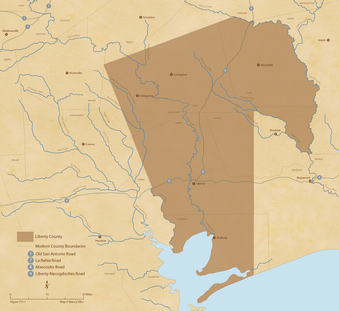
The Republic County of Liberty. Boundaries Defined, December 18, 1837
2020

The Republic County of Liberty. January 20, 1841
2020

The Republic County of Liberty. January 22, 1841
2020
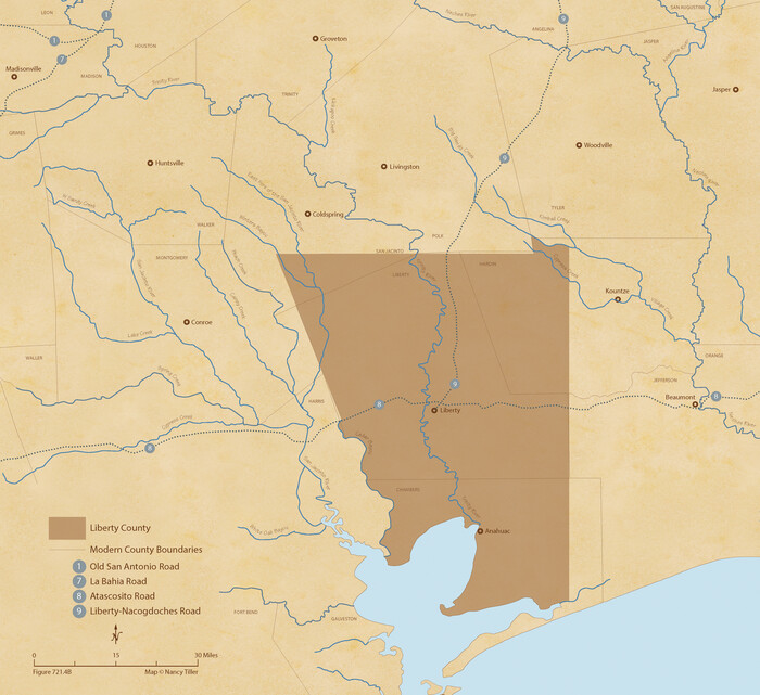
The Republic County of Liberty. December 7, 1841
2020

The Republic County of Liberty. Spring 1842
2020
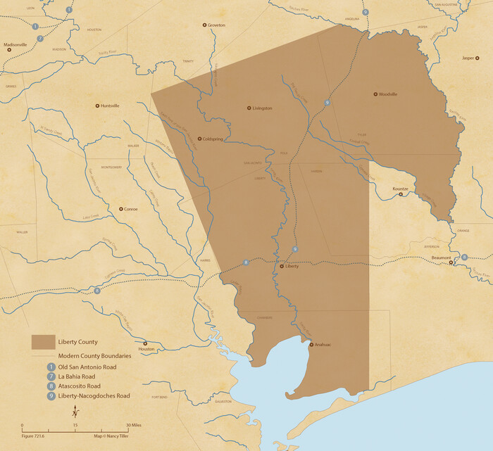
The Republic County of Liberty. December 29, 1845
2020

Liberty County Rolled Sketch 15
2015

Liberty County Rolled Sketch 15
2015

Liberty County Rolled Sketch 15
2015

Liberty County Rolled Sketch 15
2015
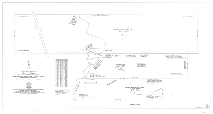
Liberty County Working Sketch 90
2001
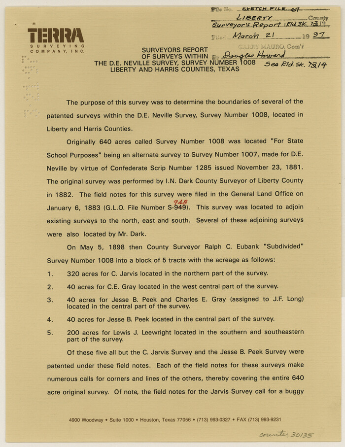
Liberty County Sketch File 67
1996

Liberty County Working Sketch 89
1993
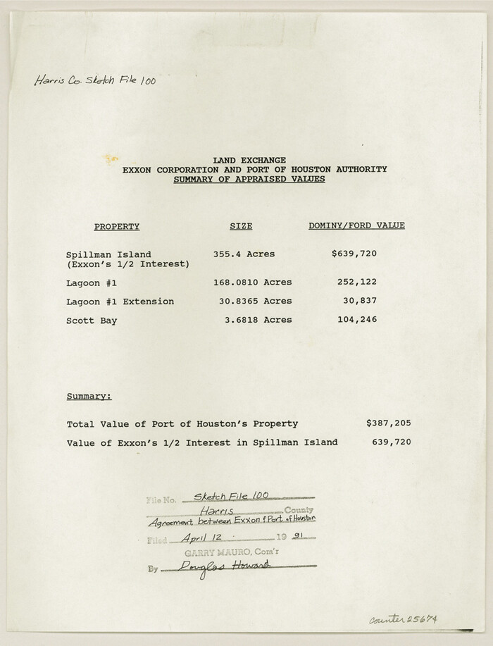
Harris County Sketch File 100
1991
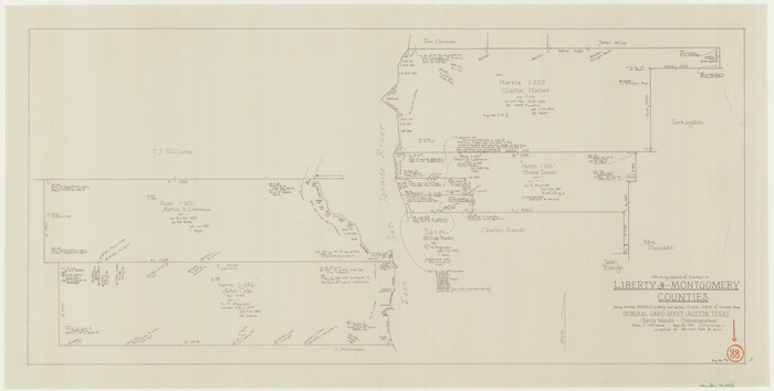
Liberty County Working Sketch 88
1991
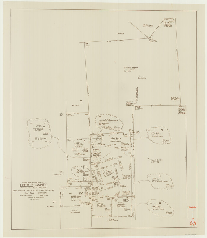
Liberty County Working Sketch 87
1989

Liberty County Working Sketch 85
1987
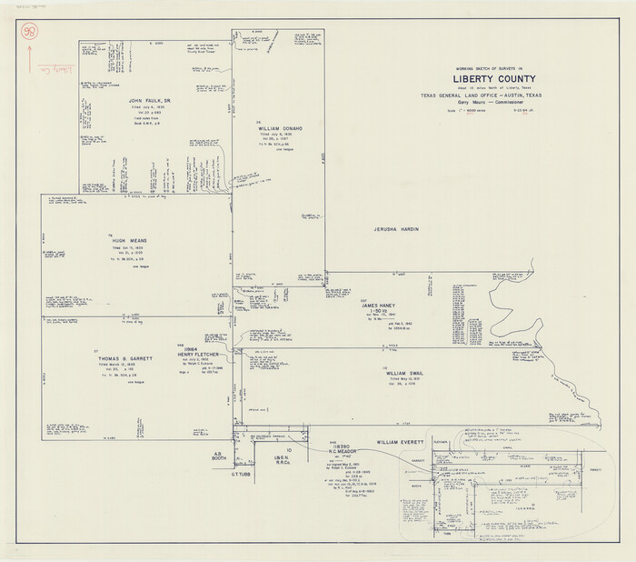
Liberty County Working Sketch 86
1986

Liberty County Rolled Sketch 12
1983

Liberty County Rolled Sketch 13
1983

Liberty County Sketch File 63
1983
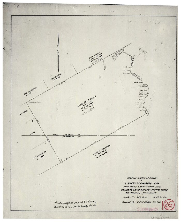
Chambers County Working Sketch 26
1981
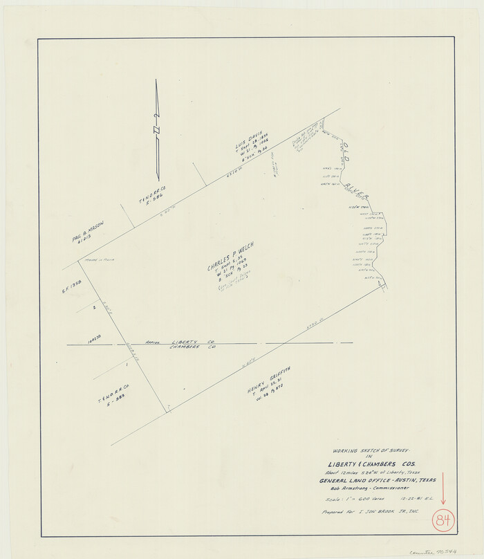
Liberty County Working Sketch 84
1981
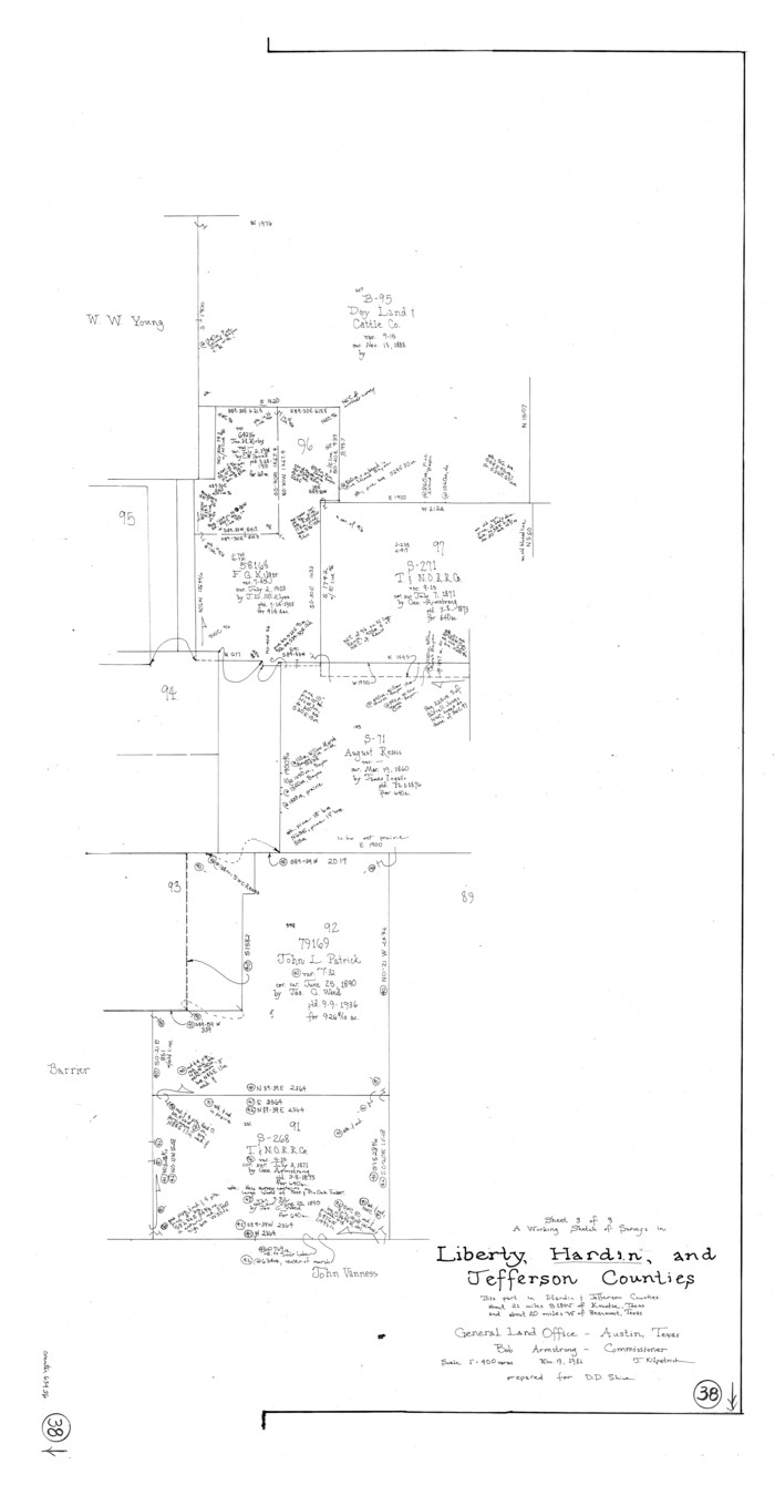
Hardin County Working Sketch 38
1981
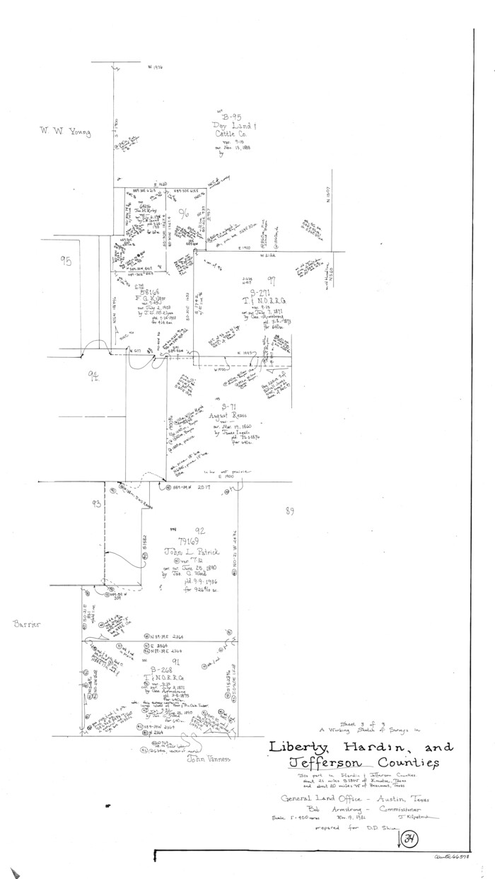
Jefferson County Working Sketch 34
1981
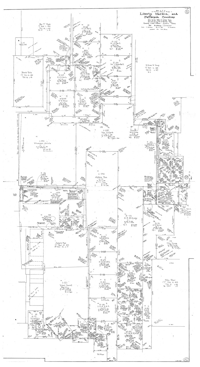
Hardin County Working Sketch 37
1981

Jefferson County Working Sketch 32
1981

Liberty County Working Sketch 83
1981
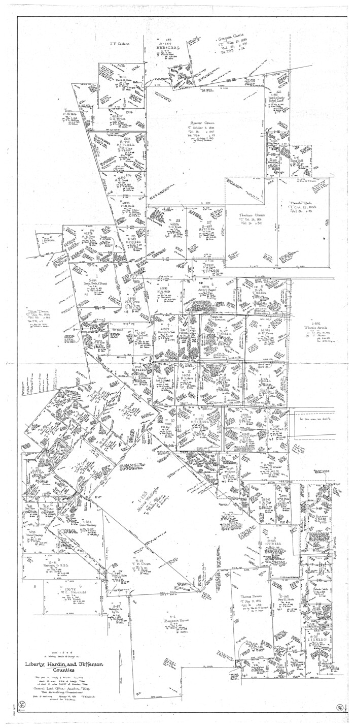
Hardin County Working Sketch 36
1981
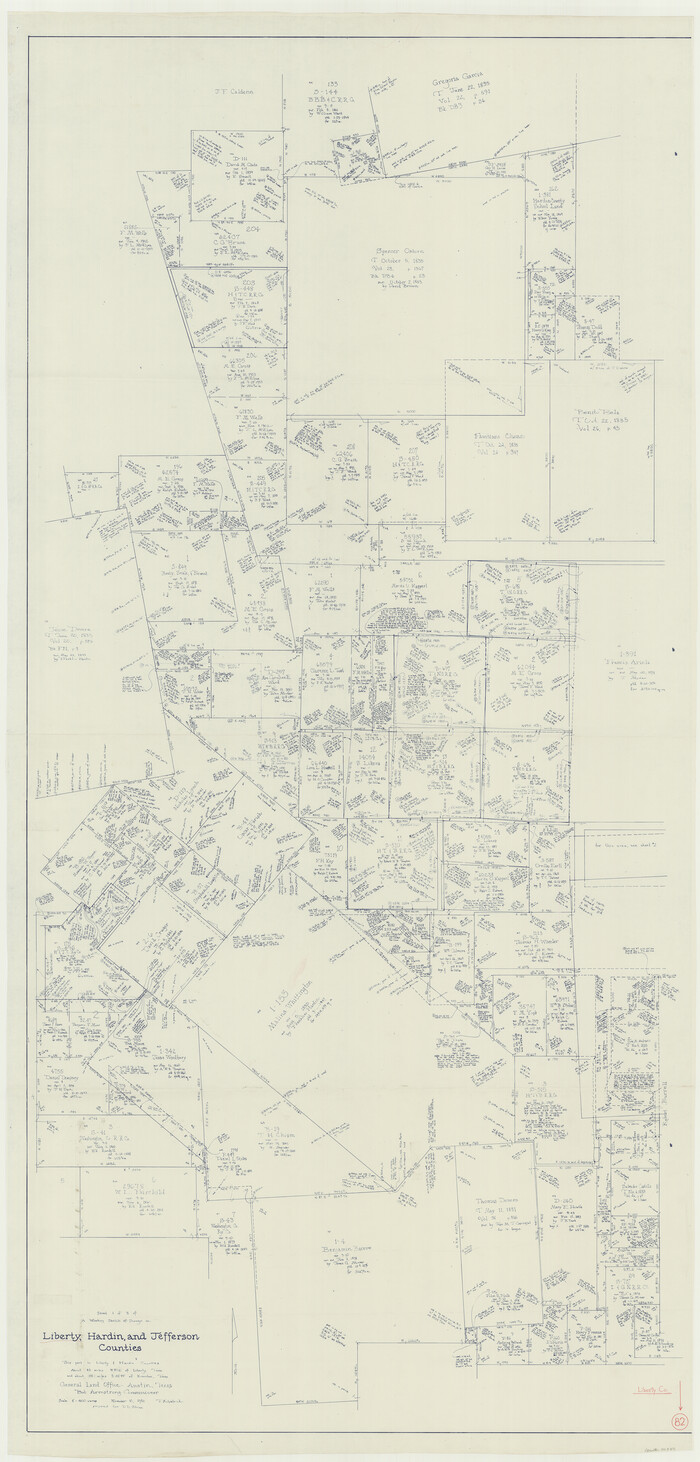
Liberty County Working Sketch 82
1981

The Republic County of Liberty. Boundaries Defined, December 18, 1837
2020
-
Size
19.9 x 21.7 inches
-
Map/Doc
96208
-
Creation Date
2020

The Republic County of Liberty. January 20, 1841
2020
-
Size
19.9 x 21.7 inches
-
Map/Doc
96209
-
Creation Date
2020

The Republic County of Liberty. January 22, 1841
2020
-
Size
19.9 x 21.7 inches
-
Map/Doc
96210
-
Creation Date
2020

The Republic County of Liberty. December 7, 1841
2020
-
Size
19.9 x 21.7 inches
-
Map/Doc
96211
-
Creation Date
2020

The Republic County of Liberty. Spring 1842
2020
-
Size
19.9 x 21.7 inches
-
Map/Doc
96212
-
Creation Date
2020

The Republic County of Liberty. December 29, 1845
2020
-
Size
19.9 x 21.7 inches
-
Map/Doc
96213
-
Creation Date
2020

Liberty County Rolled Sketch 15
2015
-
Size
36.1 x 24.3 inches
-
Map/Doc
94022
-
Creation Date
2015

Liberty County Rolled Sketch 15
2015
-
Size
36.1 x 24.4 inches
-
Map/Doc
94023
-
Creation Date
2015

Liberty County Rolled Sketch 15
2015
-
Size
36.2 x 24.5 inches
-
Map/Doc
94024
-
Creation Date
2015

Liberty County Rolled Sketch 15
2015
-
Size
36.1 x 24.3 inches
-
Map/Doc
94025
-
Creation Date
2015

Liberty County Working Sketch 90
2001
-
Size
23.1 x 43.1 inches
-
Map/Doc
70550
-
Creation Date
2001

Liberty County Sketch File 67
1996
-
Size
11.3 x 8.8 inches
-
Map/Doc
30135
-
Creation Date
1996

Liberty County Working Sketch 89
1993
-
Size
45.0 x 26.2 inches
-
Map/Doc
70549
-
Creation Date
1993

Harris County Sketch File 100
1991
-
Size
11.5 x 8.8 inches
-
Map/Doc
25674
-
Creation Date
1991

Liberty County Working Sketch 88
1991
-
Size
19.6 x 38.8 inches
-
Map/Doc
70548
-
Creation Date
1991

Liberty County Working Sketch 87
1989
-
Size
37.4 x 32.5 inches
-
Map/Doc
70547
-
Creation Date
1989

Liberty County Working Sketch 85
1987
-
Size
27.2 x 28.3 inches
-
Map/Doc
70545
-
Creation Date
1987

Liberty County Working Sketch 86
1986
-
Size
30.7 x 34.7 inches
-
Map/Doc
70546
-
Creation Date
1986

Liberty County Rolled Sketch 12
1983
-
Size
26.5 x 22.6 inches
-
Map/Doc
6618
-
Creation Date
1983

Liberty County Rolled Sketch 13
1983
-
Size
27.0 x 37.8 inches
-
Map/Doc
6619
-
Creation Date
1983

Liberty County Sketch File 63
1983
-
Size
11.1 x 8.8 inches
-
Map/Doc
30087
-
Creation Date
1983

Chambers County Working Sketch 26
1981
-
Size
15.1 x 12.2 inches
-
Map/Doc
68009
-
Creation Date
1981

Liberty County Working Sketch 84
1981
-
Size
21.3 x 18.4 inches
-
Map/Doc
70544
-
Creation Date
1981

Hardin County Working Sketch 38
1981
-
Size
37.2 x 19.4 inches
-
Map/Doc
63436
-
Creation Date
1981

Jefferson County Working Sketch 34
1981
-
Size
33.4 x 18.8 inches
-
Map/Doc
66578
-
Creation Date
1981

Hardin County Working Sketch 37
1981
-
Size
68.5 x 37.4 inches
-
Map/Doc
63435
-
Creation Date
1981

Jefferson County Working Sketch 32
1981
-
Size
68.9 x 36.0 inches
-
Map/Doc
66576
-
Creation Date
1981

Liberty County Working Sketch 83
1981
-
Size
68.4 x 37.8 inches
-
Map/Doc
70543
-
Creation Date
1981

Hardin County Working Sketch 36
1981
-
Size
76.8 x 37.5 inches
-
Map/Doc
63434
-
Creation Date
1981

Liberty County Working Sketch 82
1981
-
Size
76.9 x 36.8 inches
-
Map/Doc
70542
-
Creation Date
1981