Atlas T - Titles to Frontier Settlers issued by the Commissioner Carlos S. Taylor


Atlas T - Titles to Frontier Settlers issued by the Commissioner Carlos S. Taylor
1834
94536
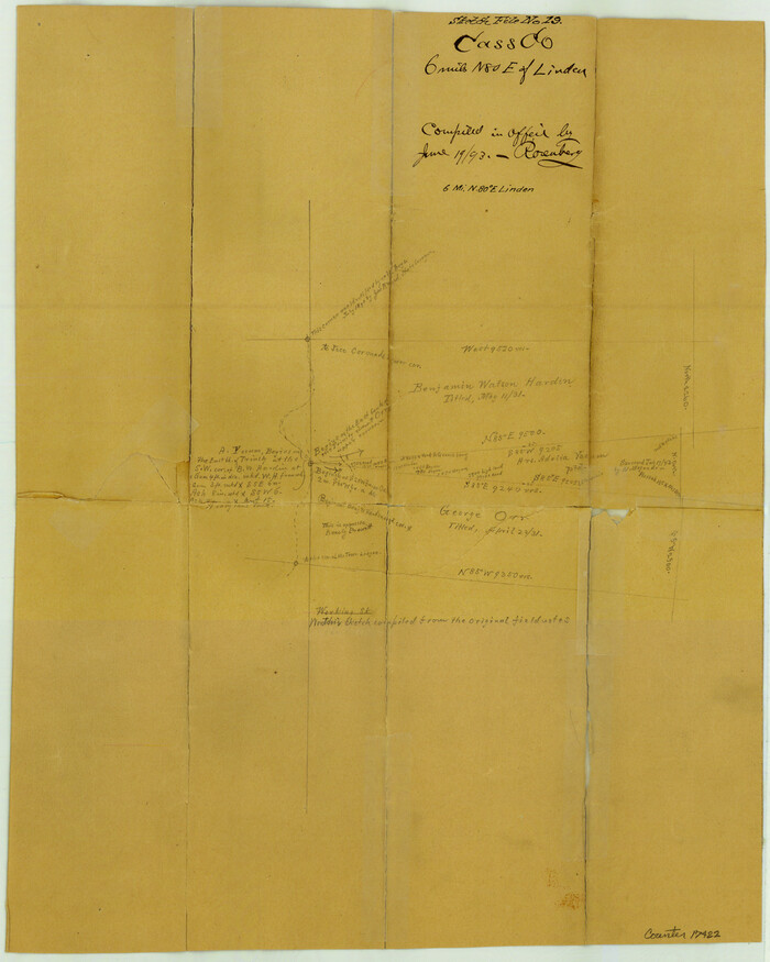
Cass County Sketch File 19

Print $40.00
- Digital $50.00
Cass County Sketch File 19
1893
Size: 15.7 x 12.6 inches
17422
Central & Montgomery


Print $20.00
- Digital $50.00
Central & Montgomery
1941
Size: 24.9 x 24.2 inches
64524
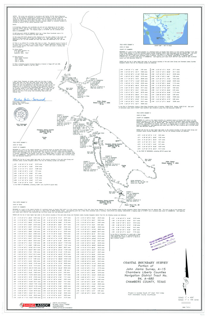
Chambers County NRC Article 33.136 Sketch 14

Print $42.00
- Digital $50.00
Chambers County NRC Article 33.136 Sketch 14
Size: 34.5 x 22.6 inches
97016
Chambers County Rolled Sketch 7


Print $20.00
- Digital $50.00
Chambers County Rolled Sketch 7
Size: 39.8 x 23.1 inches
8611
Chambers County Sketch File 18


Print $40.00
- Digital $50.00
Chambers County Sketch File 18
1879
Size: 24.6 x 8.1 inches
17569
Chambers County Sketch File 18b


Print $15.00
- Digital $50.00
Chambers County Sketch File 18b
1901
Size: 9.2 x 8.1 inches
17571
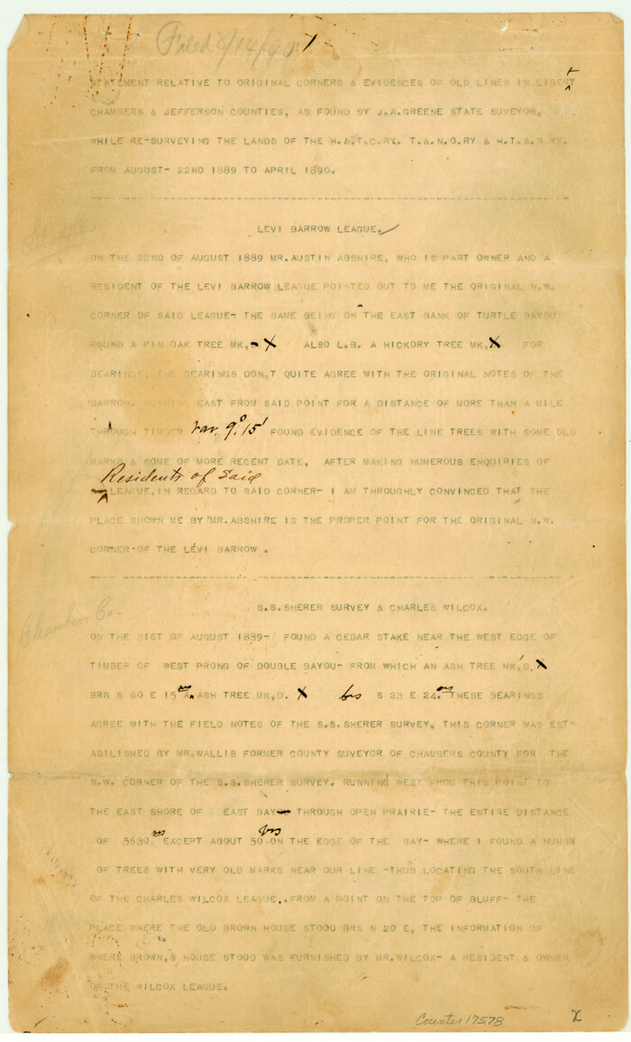
Chambers County Sketch File 19

Print $26.00
- Digital $50.00
Chambers County Sketch File 19
Size: 14.1 x 8.6 inches
17578
Chambers County Sketch File 24


Print $20.00
- Digital $50.00
Chambers County Sketch File 24
1909
Size: 34.1 x 14.5 inches
11065
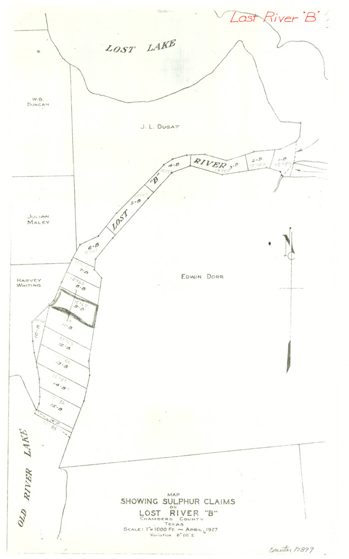
Chambers County Sketch File 47

Print $211.00
- Digital $50.00
Chambers County Sketch File 47
1927
Size: 14.3 x 9.0 inches
17899
Chambers County Sketch File 48


Print $88.00
- Digital $50.00
Chambers County Sketch File 48
1925
Size: 14.3 x 8.8 inches
18002
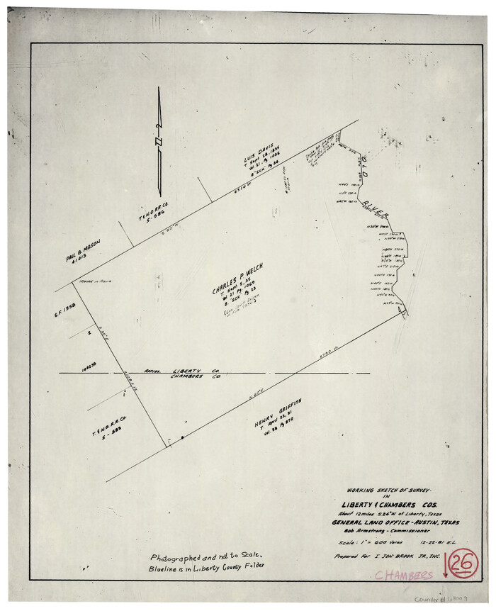
Chambers County Working Sketch 26

Print $20.00
- Digital $50.00
Chambers County Working Sketch 26
1981
Size: 15.1 x 12.2 inches
68009
Chambers County Working Sketch 8


Print $20.00
- Digital $50.00
Chambers County Working Sketch 8
1940
Size: 20.9 x 44.4 inches
67991
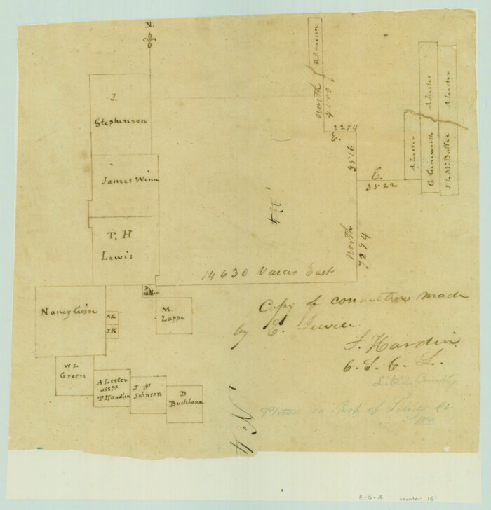
Copy of connection made by E. Sewell

Print $2.00
- Digital $50.00
Copy of connection made by E. Sewell
1841
Size: 9.4 x 9.0 inches
161
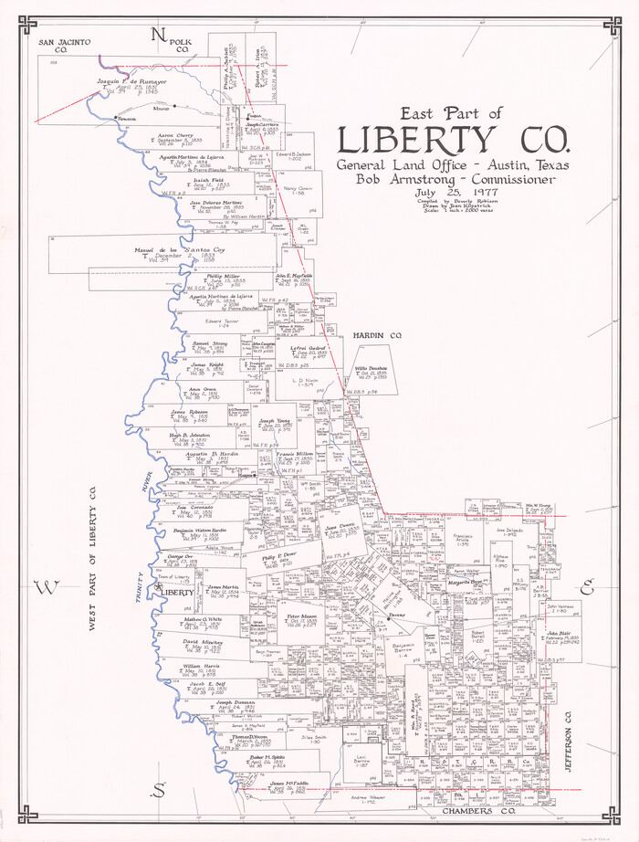
East Part of Liberty Co.

Print $20.00
- Digital $50.00
East Part of Liberty Co.
1977
Size: 46.1 x 35.9 inches
73219
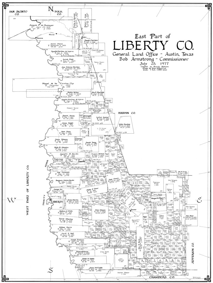
East Part of Liberty Co.

Print $20.00
- Digital $50.00
East Part of Liberty Co.
1977
Size: 41.0 x 30.9 inches
77352
East Part of Liberty Co.


Print $20.00
- Digital $50.00
East Part of Liberty Co.
1977
Size: 47.9 x 36.9 inches
95569
El Paso County Sketch File 22a
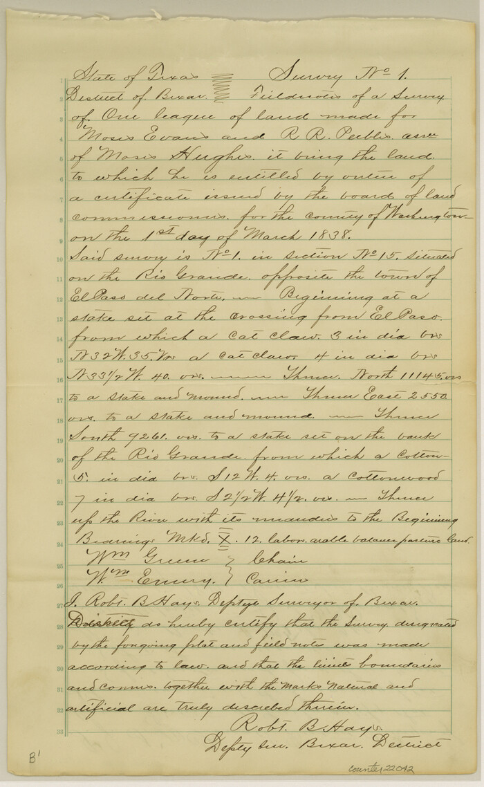

Print $52.00
- Digital $50.00
El Paso County Sketch File 22a
1888
Size: 14.2 x 8.7 inches
22042
English Field Notes of the Spanish Archives - Book 1


English Field Notes of the Spanish Archives - Book 1
1833
96527
English Field Notes of the Spanish Archives - Books DB3 & WR


English Field Notes of the Spanish Archives - Books DB3 & WR
1835
96548
English Field Notes of the Spanish Archives - Books GMP, FH, SCH, and JAV


English Field Notes of the Spanish Archives - Books GMP, FH, SCH, and JAV
1835
96545
English Field Notes of the Spanish Archives - Books SAS, DB4, GWS, JWB, and JWB3


English Field Notes of the Spanish Archives - Books SAS, DB4, GWS, JWB, and JWB3
1835
96551
Galveston County Sketch File 2
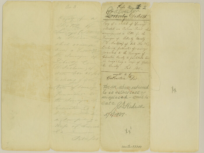

Print $2.00
- Digital $50.00
Galveston County Sketch File 2
1845
Size: 8.3 x 11.1 inches
23349
Galveston County Sketch File 55


Print $20.00
- Digital $50.00
Galveston County Sketch File 55
1839
Size: 5.2 x 3.7 inches
23591
General Highway Map, Liberty County, Texas
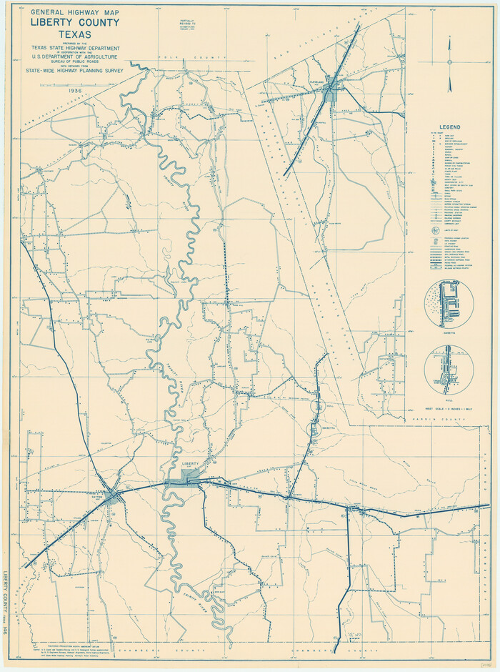

Print $20.00
General Highway Map, Liberty County, Texas
1940
Size: 24.6 x 18.3 inches
79173
General Highway Map, Liberty County, Texas


Print $20.00
General Highway Map, Liberty County, Texas
1961
Size: 18.2 x 24.7 inches
79570
General Highway Map, Liberty County, Texas


Print $20.00
General Highway Map, Liberty County, Texas
1961
Size: 18.1 x 24.6 inches
79571
Hardin County Sketch File 19
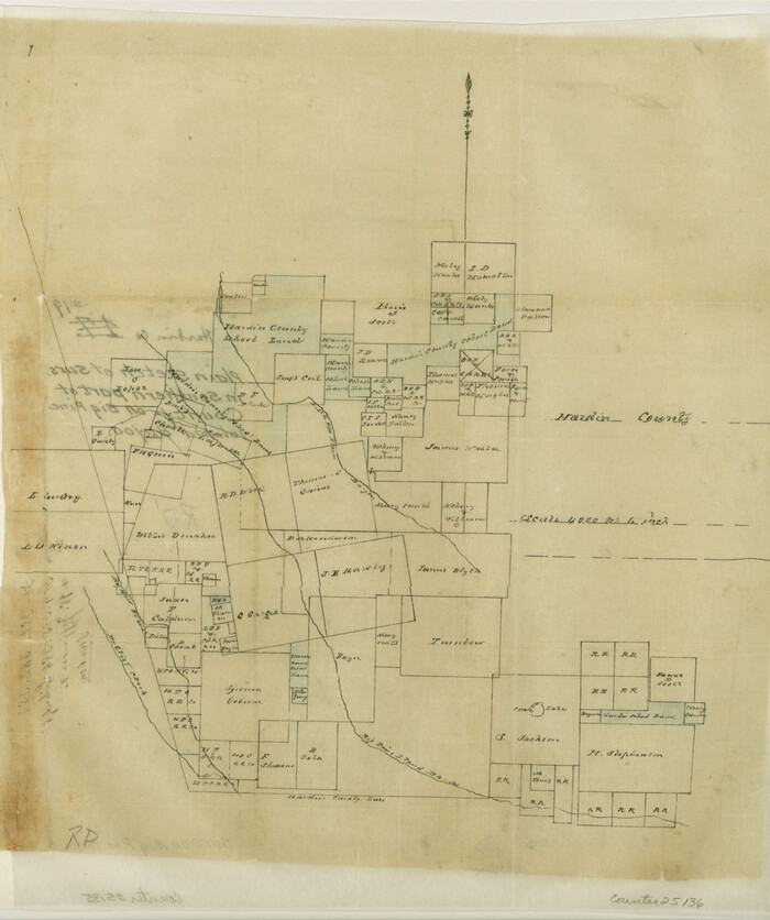

Print $6.00
- Digital $50.00
Hardin County Sketch File 19
Size: 13.0 x 10.9 inches
25135
Hardin County Sketch File 20


Print $6.00
- Digital $50.00
Hardin County Sketch File 20
Size: 9.4 x 7.9 inches
25137
Hardin County Sketch File 29
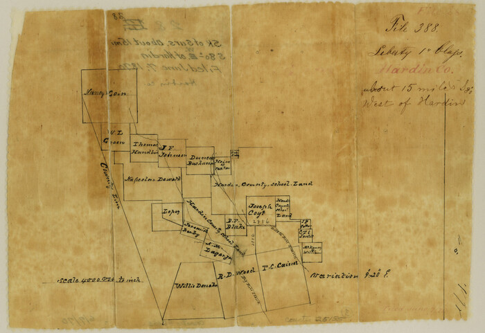

Print $4.00
- Digital $50.00
Hardin County Sketch File 29
Size: 8.1 x 11.8 inches
25155
Atlas T - Titles to Frontier Settlers issued by the Commissioner Carlos S. Taylor


Atlas T - Titles to Frontier Settlers issued by the Commissioner Carlos S. Taylor
1834
-
Map/Doc
94536
-
Creation Date
1834
Cass County Sketch File 19


Print $40.00
- Digital $50.00
Cass County Sketch File 19
1893
-
Size
15.7 x 12.6 inches
-
Map/Doc
17422
-
Creation Date
1893
Central & Montgomery


Print $20.00
- Digital $50.00
Central & Montgomery
1941
-
Size
24.9 x 24.2 inches
-
Map/Doc
64524
-
Creation Date
1941
Chambers County NRC Article 33.136 Sketch 14


Print $42.00
- Digital $50.00
Chambers County NRC Article 33.136 Sketch 14
-
Size
34.5 x 22.6 inches
-
Map/Doc
97016
Chambers County Rolled Sketch 7


Print $20.00
- Digital $50.00
Chambers County Rolled Sketch 7
-
Size
39.8 x 23.1 inches
-
Map/Doc
8611
Chambers County Sketch File 18


Print $40.00
- Digital $50.00
Chambers County Sketch File 18
1879
-
Size
24.6 x 8.1 inches
-
Map/Doc
17569
-
Creation Date
1879
Chambers County Sketch File 18b


Print $15.00
- Digital $50.00
Chambers County Sketch File 18b
1901
-
Size
9.2 x 8.1 inches
-
Map/Doc
17571
-
Creation Date
1901
Chambers County Sketch File 19


Print $26.00
- Digital $50.00
Chambers County Sketch File 19
-
Size
14.1 x 8.6 inches
-
Map/Doc
17578
Chambers County Sketch File 24


Print $20.00
- Digital $50.00
Chambers County Sketch File 24
1909
-
Size
34.1 x 14.5 inches
-
Map/Doc
11065
-
Creation Date
1909
Chambers County Sketch File 47


Print $211.00
- Digital $50.00
Chambers County Sketch File 47
1927
-
Size
14.3 x 9.0 inches
-
Map/Doc
17899
-
Creation Date
1927
Chambers County Sketch File 48


Print $88.00
- Digital $50.00
Chambers County Sketch File 48
1925
-
Size
14.3 x 8.8 inches
-
Map/Doc
18002
-
Creation Date
1925
Chambers County Working Sketch 26


Print $20.00
- Digital $50.00
Chambers County Working Sketch 26
1981
-
Size
15.1 x 12.2 inches
-
Map/Doc
68009
-
Creation Date
1981
Chambers County Working Sketch 8


Print $20.00
- Digital $50.00
Chambers County Working Sketch 8
1940
-
Size
20.9 x 44.4 inches
-
Map/Doc
67991
-
Creation Date
1940
Copy of connection made by E. Sewell


Print $2.00
- Digital $50.00
Copy of connection made by E. Sewell
1841
-
Size
9.4 x 9.0 inches
-
Map/Doc
161
-
Creation Date
1841
East Part of Liberty Co.


Print $20.00
- Digital $50.00
East Part of Liberty Co.
1977
-
Size
46.1 x 35.9 inches
-
Map/Doc
73219
-
Creation Date
1977
East Part of Liberty Co.


Print $20.00
- Digital $50.00
East Part of Liberty Co.
1977
-
Size
41.0 x 30.9 inches
-
Map/Doc
77352
-
Creation Date
1977
East Part of Liberty Co.


Print $20.00
- Digital $50.00
East Part of Liberty Co.
1977
-
Size
47.9 x 36.9 inches
-
Map/Doc
95569
-
Creation Date
1977
El Paso County Sketch File 22a


Print $52.00
- Digital $50.00
El Paso County Sketch File 22a
1888
-
Size
14.2 x 8.7 inches
-
Map/Doc
22042
-
Creation Date
1888
English Field Notes of the Spanish Archives - Book 1


English Field Notes of the Spanish Archives - Book 1
1833
-
Map/Doc
96527
-
Creation Date
1833
English Field Notes of the Spanish Archives - Books DB3 & WR


English Field Notes of the Spanish Archives - Books DB3 & WR
1835
-
Map/Doc
96548
-
Creation Date
1835
English Field Notes of the Spanish Archives - Books GMP, FH, SCH, and JAV


English Field Notes of the Spanish Archives - Books GMP, FH, SCH, and JAV
1835
-
Map/Doc
96545
-
Creation Date
1835
English Field Notes of the Spanish Archives - Books SAS, DB4, GWS, JWB, and JWB3


English Field Notes of the Spanish Archives - Books SAS, DB4, GWS, JWB, and JWB3
1835
-
Map/Doc
96551
-
Creation Date
1835
Galveston County Sketch File 2


Print $2.00
- Digital $50.00
Galveston County Sketch File 2
1845
-
Size
8.3 x 11.1 inches
-
Map/Doc
23349
-
Creation Date
1845
Galveston County Sketch File 55


Print $20.00
- Digital $50.00
Galveston County Sketch File 55
1839
-
Size
5.2 x 3.7 inches
-
Map/Doc
23591
-
Creation Date
1839
General Highway Map, Liberty County, Texas


Print $20.00
General Highway Map, Liberty County, Texas
1940
-
Size
24.6 x 18.3 inches
-
Map/Doc
79173
-
Creation Date
1940
General Highway Map, Liberty County, Texas


Print $20.00
General Highway Map, Liberty County, Texas
1961
-
Size
18.2 x 24.7 inches
-
Map/Doc
79570
-
Creation Date
1961
General Highway Map, Liberty County, Texas


Print $20.00
General Highway Map, Liberty County, Texas
1961
-
Size
18.1 x 24.6 inches
-
Map/Doc
79571
-
Creation Date
1961
Hardin County Sketch File 19


Print $6.00
- Digital $50.00
Hardin County Sketch File 19
-
Size
13.0 x 10.9 inches
-
Map/Doc
25135
Hardin County Sketch File 20


Print $6.00
- Digital $50.00
Hardin County Sketch File 20
-
Size
9.4 x 7.9 inches
-
Map/Doc
25137
Hardin County Sketch File 29


Print $4.00
- Digital $50.00
Hardin County Sketch File 29
-
Size
8.1 x 11.8 inches
-
Map/Doc
25155