
Liberty County Rolled Sketch N
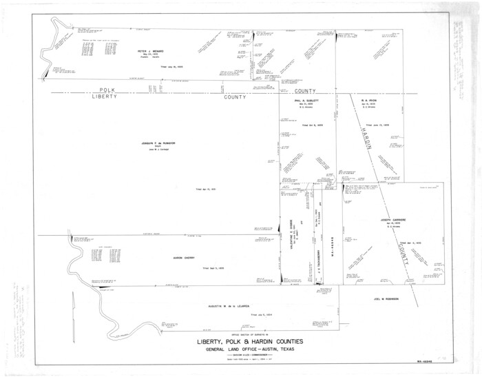
Liberty County Rolled Sketch N
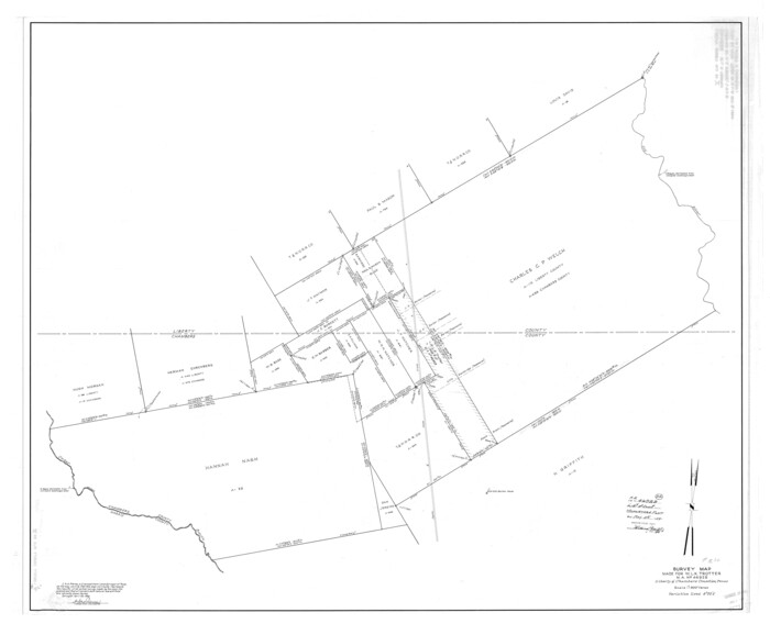
Liberty County Rolled Sketch O
1954

Liberty County Sketch File 57
1928
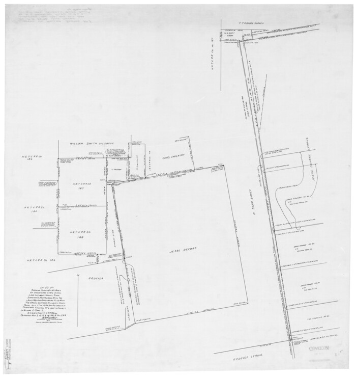
Liberty County Rolled Sketch I
1944
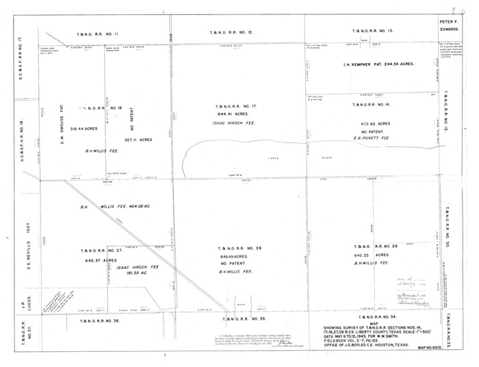
Liberty County Rolled Sketch J
1943
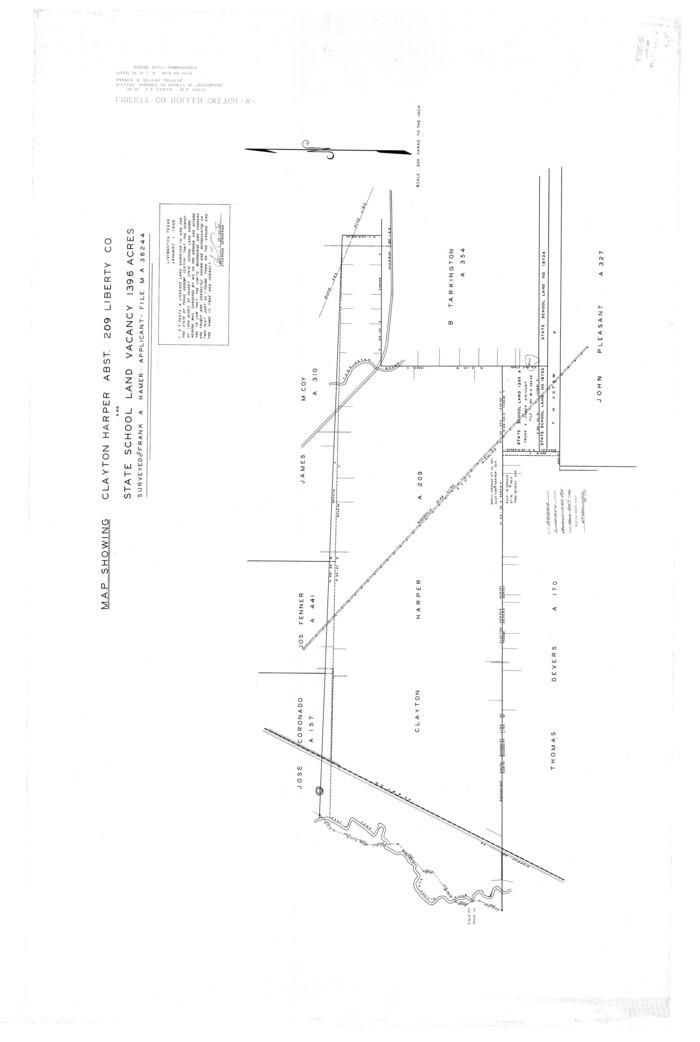
Liberty County Rolled Sketch K
1946

Liberty County Rolled Sketch M
1953
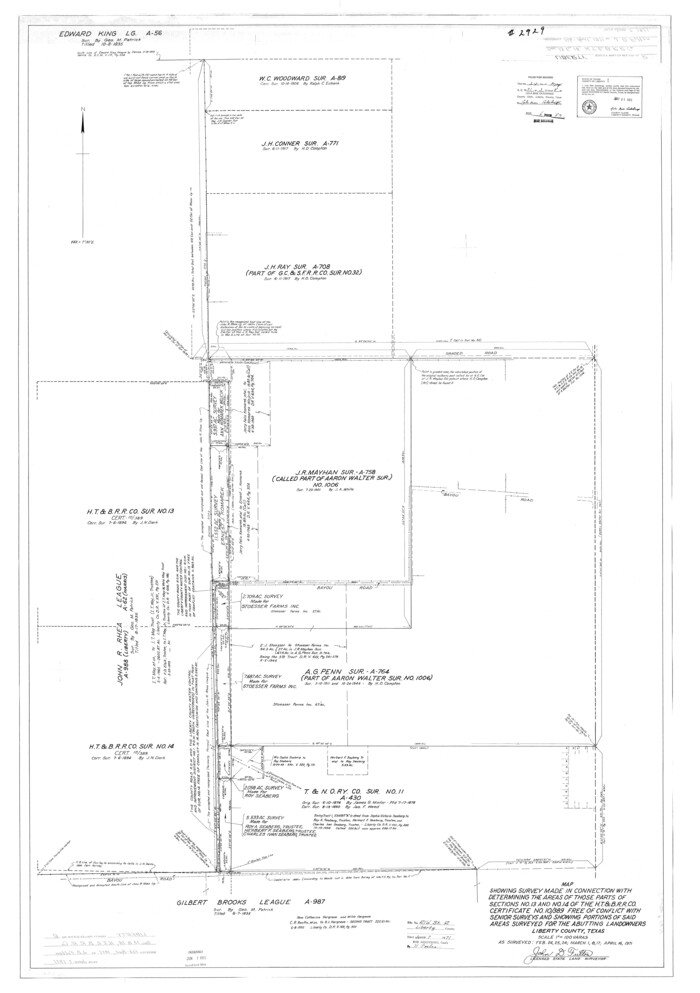
Liberty County Rolled Sketch R
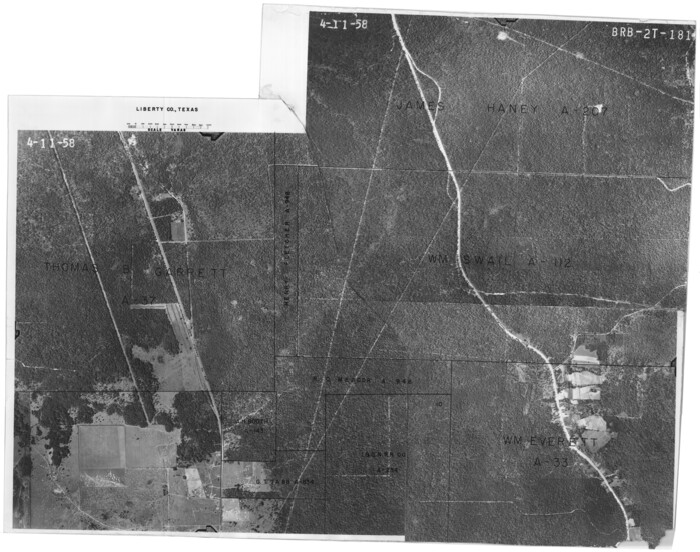
Liberty County Rolled Sketch 2S
1958

Liberty County Rolled Sketch JP2
1935

Liberty County Rolled Sketch O
1954
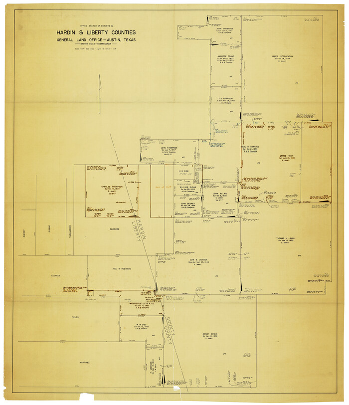
Liberty County Rolled Sketch N
1954

Chambers County Sketch File 24
1909
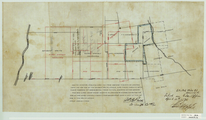
Harris County Sketch File 31a
1895
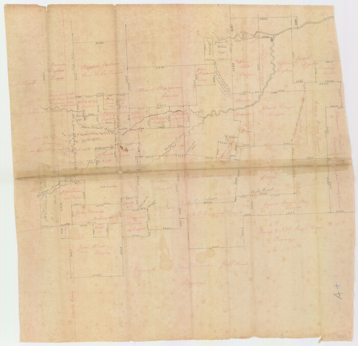
Jefferson County Sketch File 15b
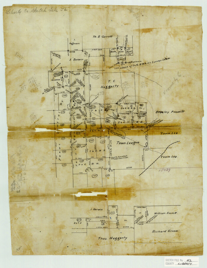
Liberty County Sketch File 52
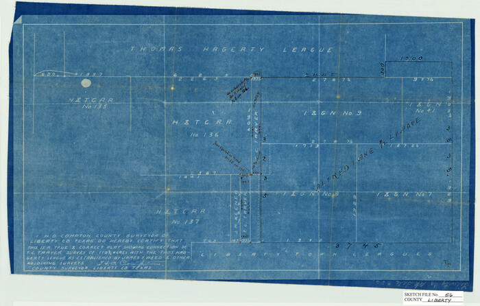
Liberty County Sketch File 56
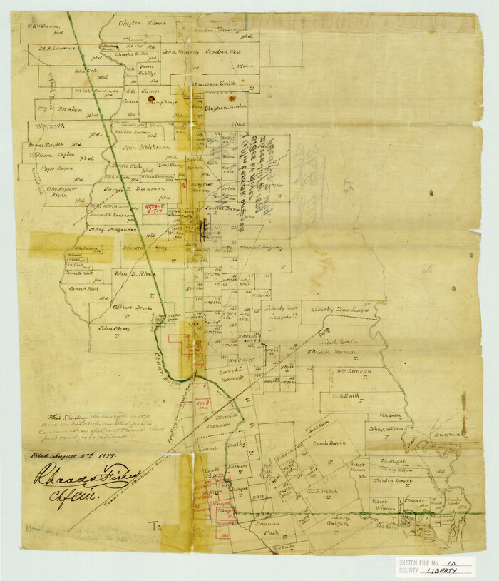
Liberty County Sketch File M
1879
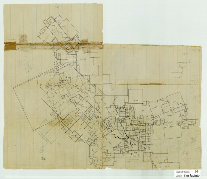
San Jacinto County Sketch File 14
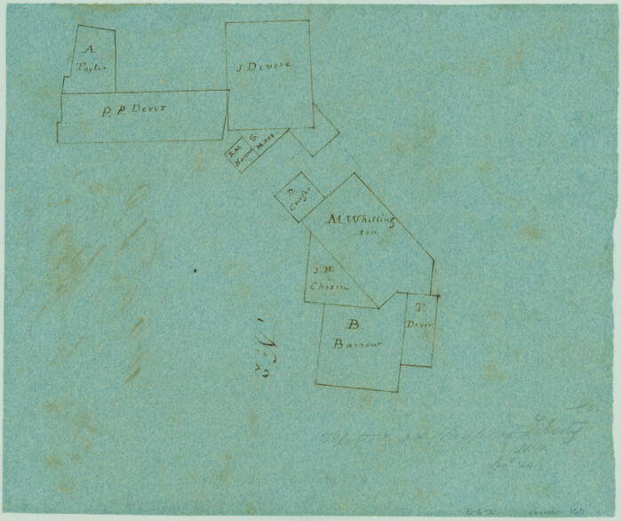
Sketch of Liberty County
1841
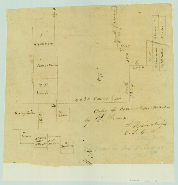
Copy of connection made by E. Sewell
1841
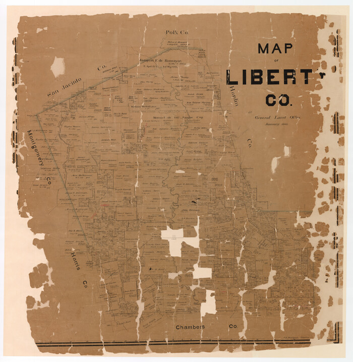
Map of Liberty County
1903
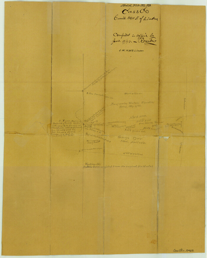
Cass County Sketch File 19
1893

Chambers County Sketch File 18
1879

Chambers County Sketch File 18b
1901
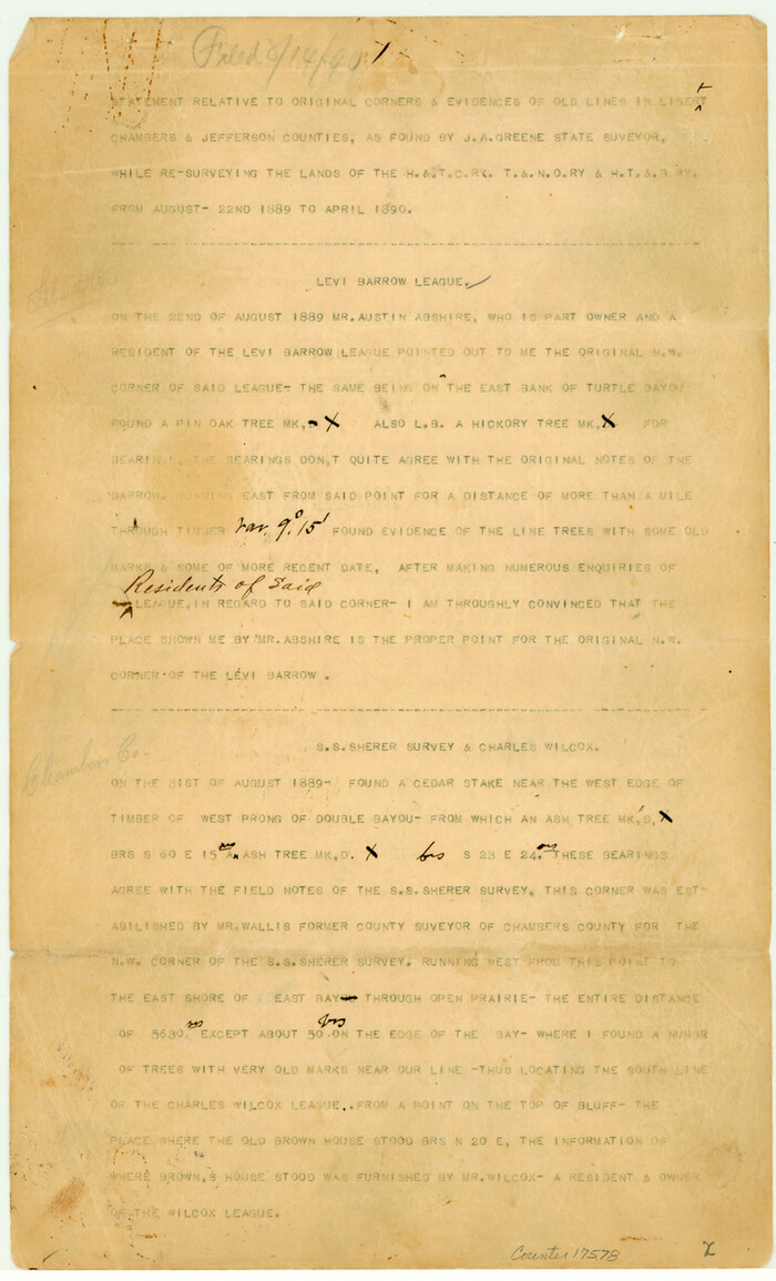
Chambers County Sketch File 19
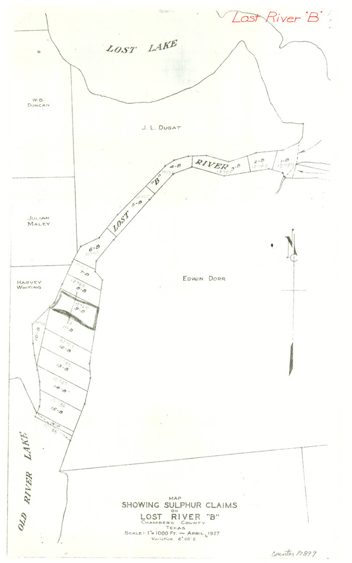
Chambers County Sketch File 47
1927

Chambers County Sketch File 48
1925

Liberty County Rolled Sketch N
-
Size
44.7 x 38.5 inches
-
Map/Doc
10180

Liberty County Rolled Sketch N
-
Size
38.4 x 47.9 inches
-
Map/Doc
10181

Liberty County Rolled Sketch O
1954
-
Size
44.3 x 53.7 inches
-
Map/Doc
10183
-
Creation Date
1954

Liberty County Sketch File 57
1928
-
Size
55.1 x 17.4 inches
-
Map/Doc
10523
-
Creation Date
1928

Liberty County Rolled Sketch I
1944
-
Size
38.1 x 38.1 inches
-
Map/Doc
10642
-
Creation Date
1944

Liberty County Rolled Sketch J
1943
-
Size
29.1 x 38.0 inches
-
Map/Doc
10646
-
Creation Date
1943

Liberty County Rolled Sketch K
1946
-
Size
35.3 x 54.7 inches
-
Map/Doc
10647
-
Creation Date
1946

Liberty County Rolled Sketch M
1953
-
Size
23.6 x 56.6 inches
-
Map/Doc
10651
-
Creation Date
1953

Liberty County Rolled Sketch R
-
Size
51.7 x 36.5 inches
-
Map/Doc
10656

Liberty County Rolled Sketch 2S
1958
-
Size
32.0 x 40.6 inches
-
Map/Doc
10660
-
Creation Date
1958

Liberty County Rolled Sketch JP2
1935
-
Size
51.8 x 12.8 inches
-
Map/Doc
10663
-
Creation Date
1935

Liberty County Rolled Sketch O
1954
-
Size
52.3 x 42.8 inches
-
Map/Doc
10720
-
Creation Date
1954

Liberty County Rolled Sketch N
1954
-
Size
45.1 x 39.1 inches
-
Map/Doc
10721
-
Creation Date
1954

Chambers County Sketch File 24
1909
-
Size
34.1 x 14.5 inches
-
Map/Doc
11065
-
Creation Date
1909

Harris County Sketch File 31a
1895
-
Size
12.8 x 21.9 inches
-
Map/Doc
11650
-
Creation Date
1895

Jefferson County Sketch File 15b
-
Size
17.4 x 33.2 inches
-
Map/Doc
11869

Liberty County Sketch File 52
-
Size
17.5 x 13.5 inches
-
Map/Doc
11995

Liberty County Sketch File 56
-
Size
11.9 x 18.7 inches
-
Map/Doc
11996

Liberty County Sketch File M
1879
-
Size
16.9 x 14.5 inches
-
Map/Doc
12000
-
Creation Date
1879

San Jacinto County Sketch File 14
-
Size
15.8 x 18.2 inches
-
Map/Doc
12281

Sketch of Liberty County
1841
-
Size
6.8 x 8.1 inches
-
Map/Doc
160
-
Creation Date
1841

Copy of connection made by E. Sewell
1841
-
Size
9.4 x 9.0 inches
-
Map/Doc
161
-
Creation Date
1841

Map of Liberty County
1903
-
Size
54.9 x 53.6 inches
-
Map/Doc
16878
-
Creation Date
1903
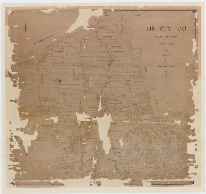
Liberty County
1926
-
Size
49.6 x 52.5 inches
-
Map/Doc
16879
-
Creation Date
1926

Cass County Sketch File 19
1893
-
Size
15.7 x 12.6 inches
-
Map/Doc
17422
-
Creation Date
1893

Chambers County Sketch File 18
1879
-
Size
24.6 x 8.1 inches
-
Map/Doc
17569
-
Creation Date
1879

Chambers County Sketch File 18b
1901
-
Size
9.2 x 8.1 inches
-
Map/Doc
17571
-
Creation Date
1901

Chambers County Sketch File 19
-
Size
14.1 x 8.6 inches
-
Map/Doc
17578

Chambers County Sketch File 47
1927
-
Size
14.3 x 9.0 inches
-
Map/Doc
17899
-
Creation Date
1927

Chambers County Sketch File 48
1925
-
Size
14.3 x 8.8 inches
-
Map/Doc
18002
-
Creation Date
1925