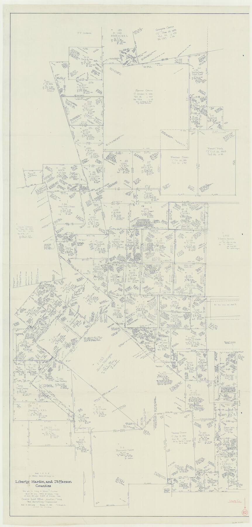
Liberty County Working Sketch 82
-
Map/Doc
70542
-
Collection
General Map Collection
-
Object Dates
11/10/1981 (Creation Date)
-
People and Organizations
Joan Kilpatrick (Draftsman)
-
Counties
Liberty Hardin Jefferson
-
Subjects
Surveying Working Sketch
-
Height x Width
76.9 x 36.8 inches
195.3 x 93.5 cm
-
Scale
1" = 400 varas
Part of: General Map Collection
Wilbarger County Working Sketch 3

Print $20.00
- Digital $50.00
Wilbarger County Working Sketch 3
1923
Size 22.0 x 23.9 inches
Map/Doc 72541
Intracoastal Waterway in Texas - Corpus Christi to Point Isabel including Arroyo Colorado to Mo. Pac. R.R. Bridge Near Harlingen

Print $20.00
- Digital $50.00
Intracoastal Waterway in Texas - Corpus Christi to Point Isabel including Arroyo Colorado to Mo. Pac. R.R. Bridge Near Harlingen
1933
Size 27.5 x 40.6 inches
Map/Doc 61869
West Part of Jeff Davis Co.

Print $20.00
- Digital $50.00
West Part of Jeff Davis Co.
1977
Size 36.5 x 47.5 inches
Map/Doc 95545
McMullen County Working Sketch 56

Print $20.00
- Digital $50.00
McMullen County Working Sketch 56
1983
Size 23.9 x 24.1 inches
Map/Doc 70757
Edwards County Working Sketch 73

Print $20.00
- Digital $50.00
Edwards County Working Sketch 73
1958
Size 30.4 x 27.0 inches
Map/Doc 68949
Rio Grande, Madero Sheet

Print $20.00
- Digital $50.00
Rio Grande, Madero Sheet
1931
Size 33.0 x 38.5 inches
Map/Doc 65124

Bexar County Sketch File 21

Print $4.00
- Digital $50.00
Bexar County Sketch File 21
1859
Size 12.2 x 7.9 inches
Map/Doc 14484
Hamilton County Rolled Sketch 11

Print $20.00
- Digital $50.00
Hamilton County Rolled Sketch 11
Size 20.1 x 14.1 inches
Map/Doc 6060
Baylor County Boundary File 9

Print $4.00
- Digital $50.00
Baylor County Boundary File 9
Size 11.2 x 8.7 inches
Map/Doc 50407
Travis County Rolled Sketch 12

Print $20.00
- Digital $50.00
Travis County Rolled Sketch 12
Size 21.9 x 19.2 inches
Map/Doc 8015
Bell County Working Sketch 13

Print $20.00
- Digital $50.00
Bell County Working Sketch 13
1964
Size 19.6 x 18.5 inches
Map/Doc 67353
You may also like
[Blocks 3T, 1, and 6T]
![91421, [Blocks 3T, 1, and 6T], Twichell Survey Records](https://historictexasmaps.com/wmedia_w700/maps/91421-1.tif.jpg)
Print $20.00
- Digital $50.00
[Blocks 3T, 1, and 6T]
Size 26.2 x 25.7 inches
Map/Doc 91421
DeWitt County Rolled Sketch 2

Print $20.00
- Digital $50.00
DeWitt County Rolled Sketch 2
1943
Size 32.0 x 42.7 inches
Map/Doc 8778
[Map showing connecting line from New Mexico to Double Lakes]
![91998, [Map showing connecting line from New Mexico to Double Lakes], Twichell Survey Records](https://historictexasmaps.com/wmedia_w700/maps/91998-1.tif.jpg)
Print $20.00
- Digital $50.00
[Map showing connecting line from New Mexico to Double Lakes]
1913
Size 39.6 x 24.2 inches
Map/Doc 91998
Flight Mission No. DQO-8K, Frame 142, Galveston County

Print $20.00
- Digital $50.00
Flight Mission No. DQO-8K, Frame 142, Galveston County
1952
Size 18.6 x 22.3 inches
Map/Doc 85204
Map of Survey 7, Block 1, D.B. Gardner

Print $20.00
- Digital $50.00
Map of Survey 7, Block 1, D.B. Gardner
1915
Size 16.9 x 22.3 inches
Map/Doc 5067
General Highway Map, Crane County, Texas

Print $20.00
General Highway Map, Crane County, Texas
1961
Size 24.8 x 18.2 inches
Map/Doc 79424
Limestone County

Print $40.00
- Digital $50.00
Limestone County
1922
Size 50.6 x 36.2 inches
Map/Doc 73342
Clay County Sketch File 31

Print $4.00
- Digital $50.00
Clay County Sketch File 31
Size 10.2 x 8.0 inches
Map/Doc 18456
Geographically Correct Map of United States showing the Union Pacific System - Union Pacific R.R. Co., Oregon Short Line R.R. Co., Oregon-Washington R.R. & Nav. Co., Los Angeles & Salt Lake R.R. Co., St. Joseph & Grand Island Ry. Co. and connections

Print $20.00
- Digital $50.00
Geographically Correct Map of United States showing the Union Pacific System - Union Pacific R.R. Co., Oregon Short Line R.R. Co., Oregon-Washington R.R. & Nav. Co., Los Angeles & Salt Lake R.R. Co., St. Joseph & Grand Island Ry. Co. and connections
1922
Size 18.2 x 32.2 inches
Map/Doc 95771
Navigation Maps of Gulf Intracoastal Waterway, Port Arthur to Brownsville, Texas

Print $4.00
- Digital $50.00
Navigation Maps of Gulf Intracoastal Waterway, Port Arthur to Brownsville, Texas
1951
Size 16.8 x 21.5 inches
Map/Doc 65437
Runnels County Rolled Sketch 26

Print $40.00
- Digital $50.00
Runnels County Rolled Sketch 26
1928
Size 55.5 x 25.4 inches
Map/Doc 10312
Hemphill County Working Sketch 8

Print $40.00
- Digital $50.00
Hemphill County Working Sketch 8
1965
Size 25.8 x 64.6 inches
Map/Doc 66103