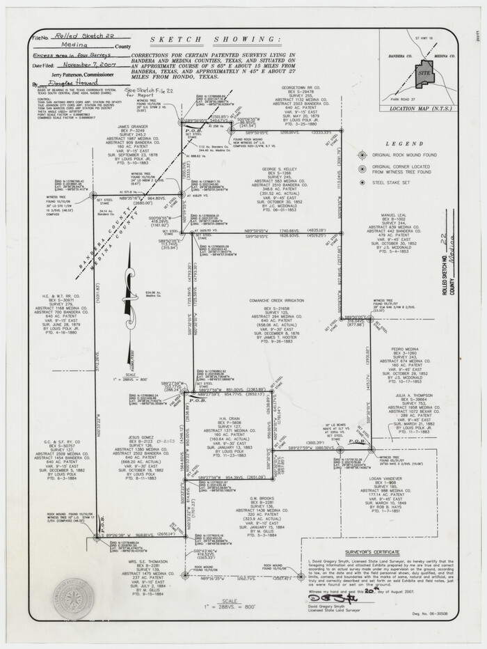
Medina County Rolled Sketch 22
2007

Medina County Sketch File 22
2007
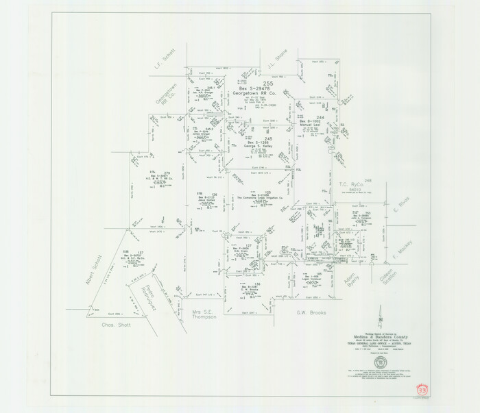
Medina County Working Sketch 33
2006

Medina County Sketch File 21
2002
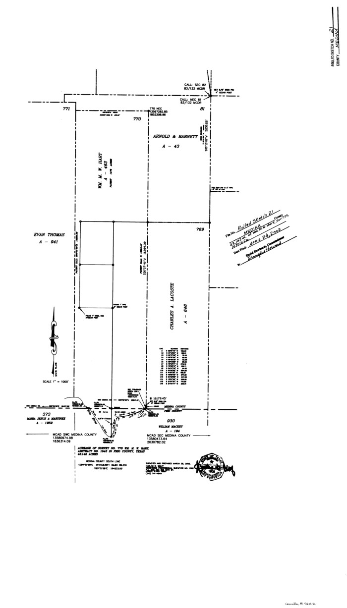
Medina County Rolled Sketch 21
2002

Medina County Working Sketch 32
1994
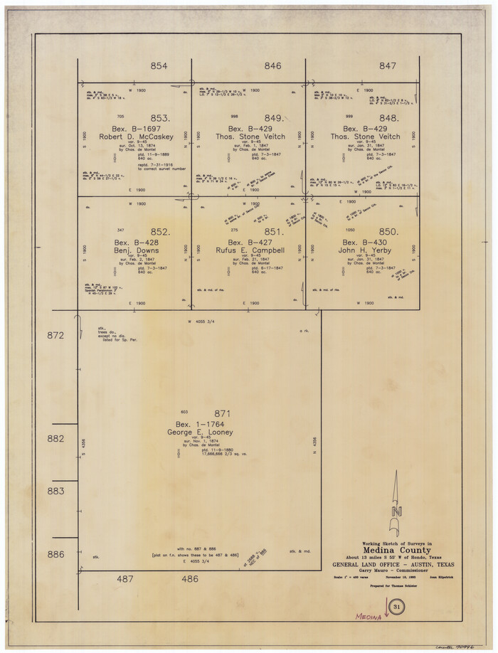
Medina County Working Sketch 31
1993
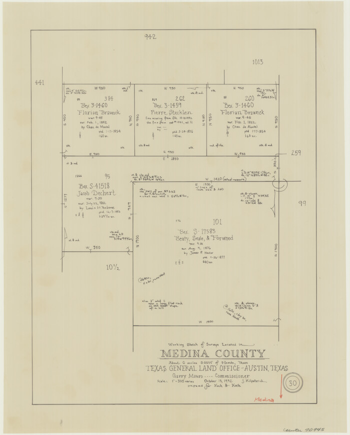
Medina County Working Sketch 30
1992

Bandera County Working Sketch 56
1991

Medina County Sketch File 19
1989
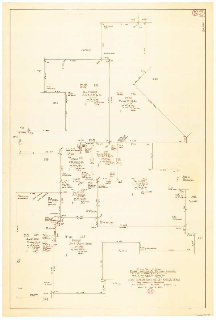
Bexar County Working Sketch 24
1989
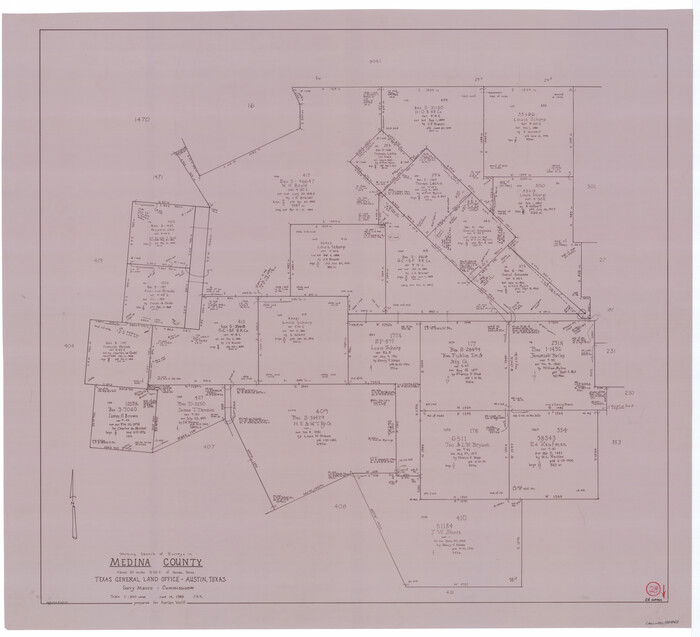
Medina County Working Sketch 28
1988
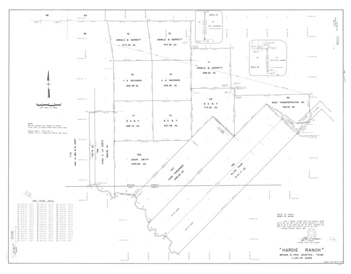
Medina County Rolled Sketch 19
1987
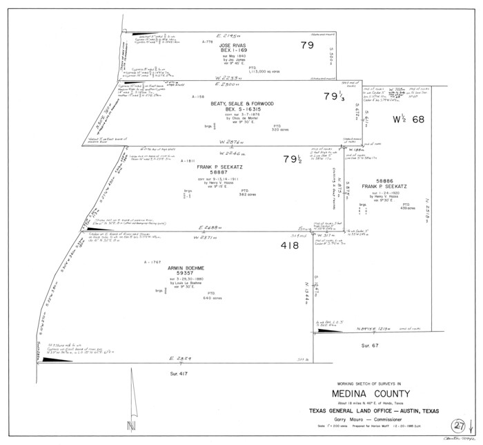
Medina County Working Sketch 27
1985
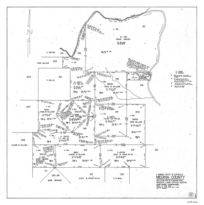
Medina County Working Sketch 26
1985
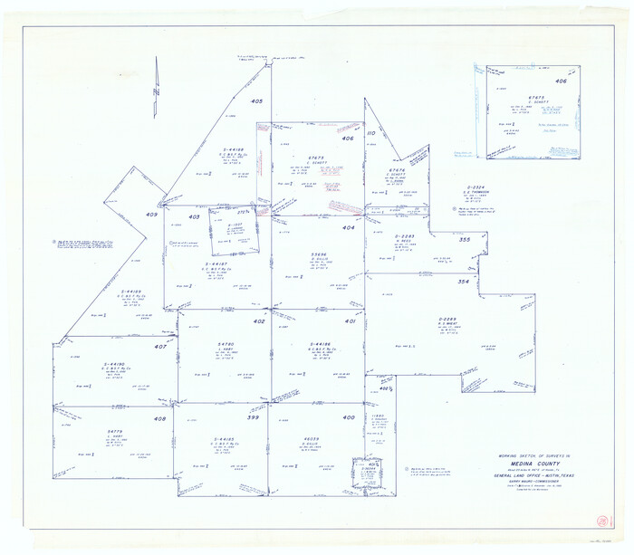
Medina County Working Sketch 25
1985

Medina County Rolled Sketch 16
1984
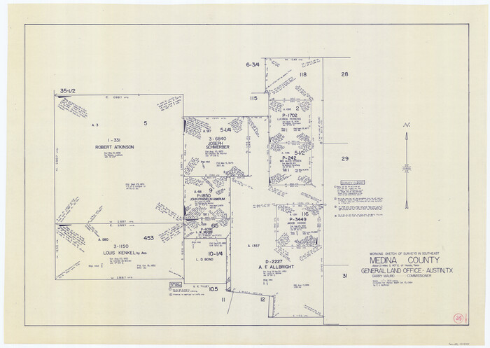
Medina County Working Sketch 24
1984
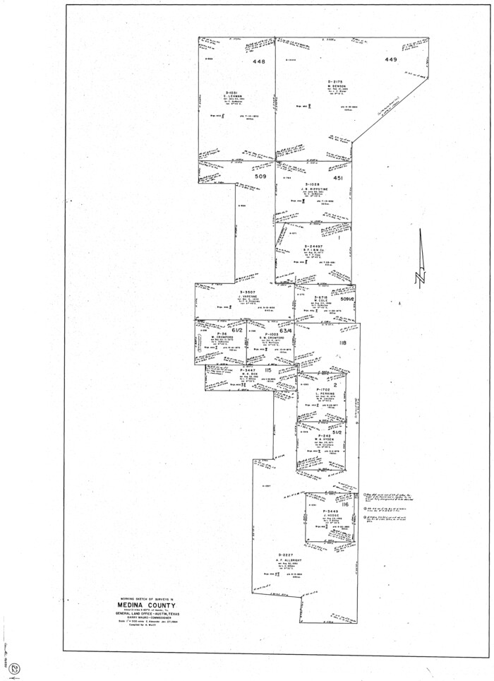
Medina County Working Sketch 22
1984

Medina County Working Sketch 21
1982

Bandera County Working Sketch 45
1981

Medina County Rolled Sketch 14
1980

Medina County Working Sketch 20
1980
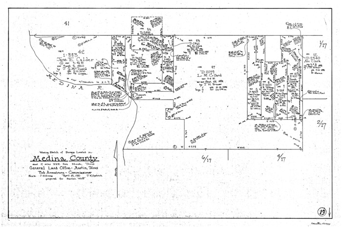
Medina County Working Sketch 19
1980

Medina County Working Sketch 18
1980
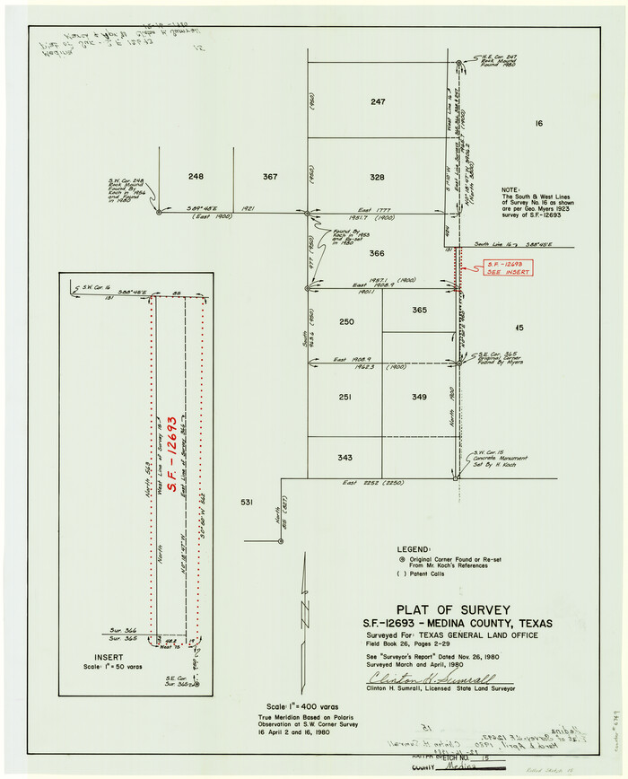
Medina County Rolled Sketch 15
1980
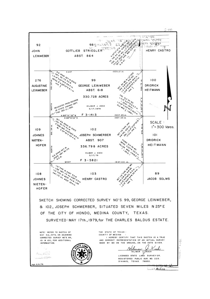
Medina County Rolled Sketch 12
1979
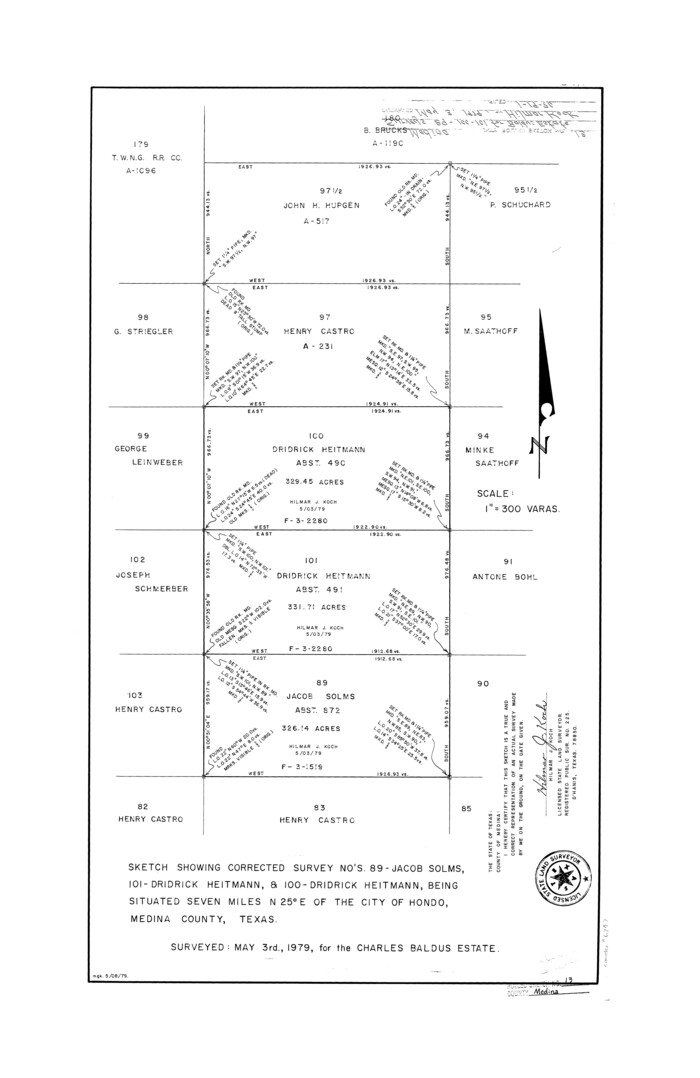
Medina County Rolled Sketch 13
1979

Medina County Working Sketch 17
1979

Texas Hill Country Trail Region
2017
-
Size
18.2 x 24.3 inches
-
Map/Doc
96871
-
Creation Date
2017

Medina County Rolled Sketch 22
2007
-
Size
24.5 x 18.4 inches
-
Map/Doc
88849
-
Creation Date
2007

Medina County Sketch File 22
2007
-
Size
11.0 x 8.5 inches
-
Map/Doc
93633
-
Creation Date
2007

Medina County Working Sketch 33
2006
-
Size
34.5 x 40.0 inches
-
Map/Doc
83607
-
Creation Date
2006

Medina County Sketch File 21
2002
-
Size
11.2 x 8.7 inches
-
Map/Doc
76343
-
Creation Date
2002

Medina County Rolled Sketch 21
2002
-
Size
33.5 x 19.1 inches
-
Map/Doc
76412
-
Creation Date
2002

Medina County Working Sketch 32
1994
-
Size
30.4 x 42.4 inches
-
Map/Doc
70947
-
Creation Date
1994

Medina County Working Sketch 31
1993
-
Size
27.2 x 20.8 inches
-
Map/Doc
70946
-
Creation Date
1993

Medina County Working Sketch 30
1992
-
Size
19.2 x 15.4 inches
-
Map/Doc
70945
-
Creation Date
1992

Bandera County Working Sketch 56
1991
-
Size
28.1 x 35.1 inches
-
Map/Doc
67652
-
Creation Date
1991

Medina County Sketch File 19
1989
-
Size
32.5 x 21.0 inches
-
Map/Doc
12071
-
Creation Date
1989

Bexar County Working Sketch 24
1989
-
Size
40.8 x 27.5 inches
-
Map/Doc
67340
-
Creation Date
1989

Medina County Working Sketch 28
1988
-
Size
32.1 x 35.3 inches
-
Map/Doc
70943
-
Creation Date
1988

Medina County Rolled Sketch 19
1987
-
Size
45.1 x 57.8 inches
-
Map/Doc
9508
-
Creation Date
1987

Medina County Working Sketch 27
1985
-
Size
22.8 x 24.8 inches
-
Map/Doc
70942
-
Creation Date
1985

Medina County Working Sketch 26
1985
-
Size
30.6 x 30.5 inches
-
Map/Doc
70941
-
Creation Date
1985

Medina County Working Sketch 25
1985
-
Size
37.6 x 42.9 inches
-
Map/Doc
70940
-
Creation Date
1985

Medina County Rolled Sketch 16
1984
-
Size
44.4 x 38.0 inches
-
Map/Doc
9507
-
Creation Date
1984

Medina County Working Sketch 24
1984
-
Size
26.1 x 36.7 inches
-
Map/Doc
70939
-
Creation Date
1984

Medina County Working Sketch 22
1984
-
Size
44.5 x 32.3 inches
-
Map/Doc
70937
-
Creation Date
1984

Medina County Working Sketch 21
1982
-
Size
18.1 x 23.3 inches
-
Map/Doc
70936
-
Creation Date
1982

Bandera County Working Sketch 45
1981
-
Size
42.4 x 35.5 inches
-
Map/Doc
67641
-
Creation Date
1981

Medina County Rolled Sketch 14
1980
-
Size
29.2 x 32.0 inches
-
Map/Doc
6748
-
Creation Date
1980

Medina County Working Sketch 20
1980
-
Size
25.4 x 39.2 inches
-
Map/Doc
70935
-
Creation Date
1980

Medina County Working Sketch 19
1980
-
Size
19.4 x 29.1 inches
-
Map/Doc
70934
-
Creation Date
1980

Medina County Working Sketch 18
1980
-
Size
31.4 x 38.0 inches
-
Map/Doc
70933
-
Creation Date
1980

Medina County Rolled Sketch 15
1980
-
Size
25.2 x 20.3 inches
-
Map/Doc
6749
-
Creation Date
1980

Medina County Rolled Sketch 12
1979
-
Size
20.9 x 14.7 inches
-
Map/Doc
6746
-
Creation Date
1979

Medina County Rolled Sketch 13
1979
-
Size
28.2 x 18.3 inches
-
Map/Doc
6747
-
Creation Date
1979

Medina County Working Sketch 17
1979
-
Size
26.8 x 34.5 inches
-
Map/Doc
70932
-
Creation Date
1979