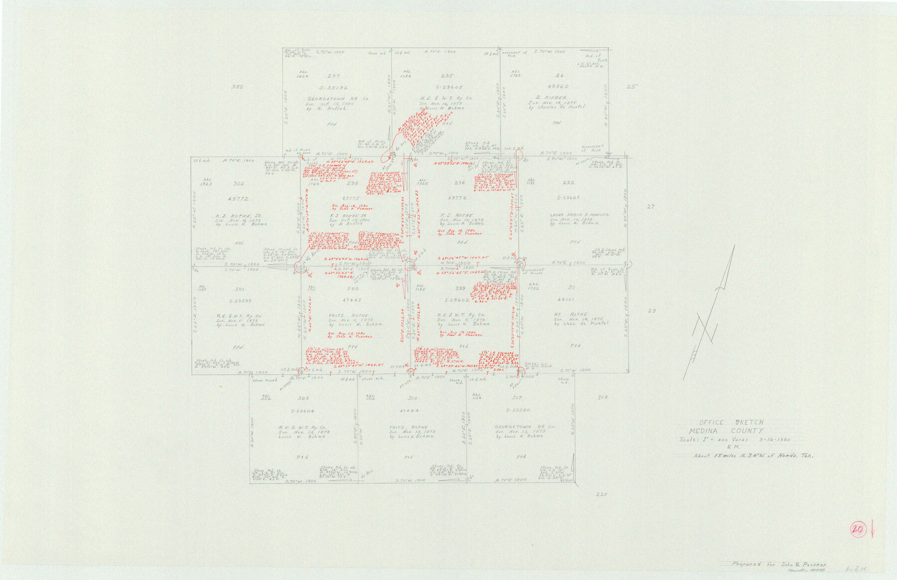
Medina County Working Sketch 20
-
Map/Doc
70935
-
Collection
General Map Collection
-
Object Dates
9/16/1980 (Creation Date)
-
People and Organizations
Elbert Menzel (Draftsman)
-
Counties
Medina
-
Subjects
Surveying Working Sketch
-
Height x Width
25.4 x 39.2 inches
64.5 x 99.6 cm
-
Scale
1" = 400 varas
Part of: General Map Collection
Flight Mission No. CRC-2R, Frame 64, Chambers County

Print $20.00
- Digital $50.00
Flight Mission No. CRC-2R, Frame 64, Chambers County
1956
Size 18.7 x 22.5 inches
Map/Doc 84735
Zavala County Sketch File 49

Print $10.00
- Digital $50.00
Zavala County Sketch File 49
1955
Size 14.5 x 9.1 inches
Map/Doc 41441
Leon County Rolled Sketch 21

Print $20.00
- Digital $50.00
Leon County Rolled Sketch 21
Size 33.5 x 24.3 inches
Map/Doc 75971
Hockley County Sketch File 6

Print $20.00
- Digital $50.00
Hockley County Sketch File 6
Size 24.9 x 33.0 inches
Map/Doc 11769

Intracoastal Waterway in Texas - Corpus Christi to Point Isabel including Arroyo Colorado to Mo. Pac. R.R. Bridge Near Harlingen

Print $20.00
- Digital $50.00
Intracoastal Waterway in Texas - Corpus Christi to Point Isabel including Arroyo Colorado to Mo. Pac. R.R. Bridge Near Harlingen
1933
Size 27.9 x 40.8 inches
Map/Doc 61878
Kimble County Working Sketch 1

Print $20.00
- Digital $50.00
Kimble County Working Sketch 1
Size 14.7 x 18.3 inches
Map/Doc 70069
Zapata County Rolled Sketch 16

Print $20.00
- Digital $50.00
Zapata County Rolled Sketch 16
1940
Size 30.3 x 19.4 inches
Map/Doc 8314

Lee County Working Sketch Graphic Index

Print $20.00
- Digital $50.00
Lee County Working Sketch Graphic Index
1945
Size 38.2 x 44.6 inches
Map/Doc 76617
Harrison County Working Sketch 25

Print $20.00
- Digital $50.00
Harrison County Working Sketch 25
1983
Size 21.9 x 24.0 inches
Map/Doc 66045
Titus County Sketch File 1

Print $4.00
- Digital $50.00
Titus County Sketch File 1
Size 13.3 x 8.2 inches
Map/Doc 38130
You may also like
Guadalupe County

Print $20.00
- Digital $50.00
Guadalupe County
1872
Size 24.6 x 23.7 inches
Map/Doc 3610
Corpus Christi Pass, Texas

Print $20.00
- Digital $50.00
Corpus Christi Pass, Texas
1871
Size 26.2 x 18.3 inches
Map/Doc 72979
[Surveys along the Nueces River, San Patricio District]
![69739, [Surveys along the Nueces River, San Patricio District], General Map Collection](https://historictexasmaps.com/wmedia_w700/maps/69739.tif.jpg)
Print $2.00
- Digital $50.00
[Surveys along the Nueces River, San Patricio District]
1842
Size 11.3 x 7.7 inches
Map/Doc 69739

Archer County Working Sketch 14

Print $20.00
- Digital $50.00
Archer County Working Sketch 14
1940
Size 23.3 x 24.3 inches
Map/Doc 67155
Nueces County Sketch File 12b

Print $8.00
- Digital $50.00
Nueces County Sketch File 12b
1889
Size 14.2 x 8.8 inches
Map/Doc 32530
Shackelford County Rolled Sketch 4

Print $20.00
- Digital $50.00
Shackelford County Rolled Sketch 4
Size 38.8 x 47.7 inches
Map/Doc 9916
Childress County Rolled Sketch 8B

Print $20.00
- Digital $50.00
Childress County Rolled Sketch 8B
Size 13.3 x 18.8 inches
Map/Doc 5444
Map of the City of Corsicana (Navarro County) Texas

Print $40.00
- Digital $50.00
Map of the City of Corsicana (Navarro County) Texas
1963
Size 36.7 x 87.5 inches
Map/Doc 93675
Pecos County Rolled Sketch 70A

Print $20.00
- Digital $50.00
Pecos County Rolled Sketch 70A
1929
Size 46.7 x 20.8 inches
Map/Doc 9709
Clay County Sketch File 49

Print $78.00
- Digital $50.00
Clay County Sketch File 49
1928
Size 14.2 x 8.8 inches
Map/Doc 18500
Bastrop County Sketch File 2

Print $4.00
- Digital $50.00
Bastrop County Sketch File 2
1858
Size 10.8 x 8.3 inches
Map/Doc 14042