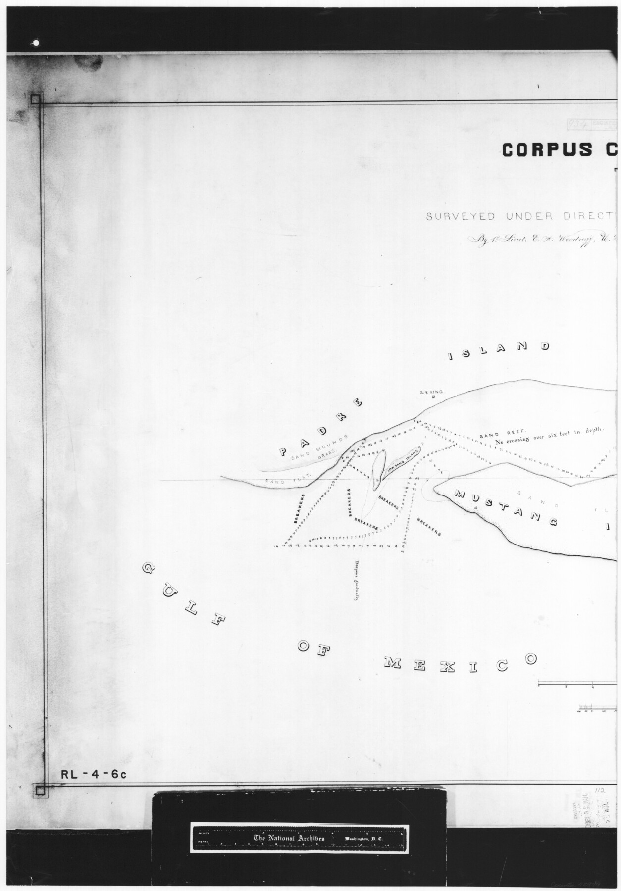
Corpus Christi Pass, Texas
RL-4-6c
-
Map/Doc
72979
-
Collection
General Map Collection
-
Object Dates
1871 (Creation Date)
-
People and Organizations
E.K. Woodruff (Surveyor/Engineer)
-
Subjects
Nautical Charts
-
Height x Width
26.2 x 18.3 inches
66.5 x 46.5 cm
-
Comments
B/W photostat copy from National Archives in multiple pieces.
Part of: General Map Collection
Palo Pinto County

Print $20.00
- Digital $50.00
Palo Pinto County
Size 23.7 x 18.6 inches
Map/Doc 3936
Pecos County Working Sketch 20

Print $20.00
- Digital $50.00
Pecos County Working Sketch 20
1918
Size 33.0 x 23.2 inches
Map/Doc 71490
Parker County Working Sketch 19-1

Print $20.00
- Digital $50.00
Parker County Working Sketch 19-1
2004
Map/Doc 83579
National Map Company's New Road Survey of the United States Showing Main Highways

Digital $50.00
National Map Company's New Road Survey of the United States Showing Main Highways
Size 44.5 x 38.2 inches
Map/Doc 4659
Flight Mission No. DQN-3K, Frame 68, Calhoun County

Print $20.00
- Digital $50.00
Flight Mission No. DQN-3K, Frame 68, Calhoun County
1953
Size 18.5 x 22.3 inches
Map/Doc 84359
Travis County Sketch File 69

Print $6.00
- Digital $50.00
Travis County Sketch File 69
1955
Size 14.3 x 8.9 inches
Map/Doc 38451
Map of Kimble County

Print $20.00
- Digital $50.00
Map of Kimble County
1876
Size 19.2 x 29.8 inches
Map/Doc 3768
Houston County Sketch File 29

Print $10.00
- Digital $50.00
Houston County Sketch File 29
1859
Size 15.0 x 9.4 inches
Map/Doc 26802
The Absolem C. De La Plain League and Labor of Land

Print $20.00
- Digital $50.00
The Absolem C. De La Plain League and Labor of Land
2013
Size 30.0 x 24.0 inches
Map/Doc 93425
Val Verde County Sketch File XXX7

Print $6.00
- Digital $50.00
Val Verde County Sketch File XXX7
Size 11.0 x 15.4 inches
Map/Doc 39104
Dimmit County

Print $40.00
- Digital $50.00
Dimmit County
1916
Size 40.6 x 48.0 inches
Map/Doc 78341
Val Verde County Sketch File 38

Print $44.00
- Digital $50.00
Val Verde County Sketch File 38
1938
Size 17.6 x 17.2 inches
Map/Doc 12579
You may also like
Flight Mission No. DCL-6C, Frame 128, Kenedy County

Print $20.00
- Digital $50.00
Flight Mission No. DCL-6C, Frame 128, Kenedy County
1943
Size 18.6 x 22.3 inches
Map/Doc 85958
Supreme Court of the United States, October Term, 1923, No. 15, Original - The State of Oklahoma, Complainant vs. The State of Texas, Defendant, The United States, Intervener; Report of the Boundary Commissioners

Print $20.00
- Digital $50.00
Supreme Court of the United States, October Term, 1923, No. 15, Original - The State of Oklahoma, Complainant vs. The State of Texas, Defendant, The United States, Intervener; Report of the Boundary Commissioners
1923
Size 33.9 x 36.8 inches
Map/Doc 75134
Mexico or New Spain in which the Motions of Cortes may be traced

Print $20.00
- Digital $50.00
Mexico or New Spain in which the Motions of Cortes may be traced
1795
Size 14.5 x 16.5 inches
Map/Doc 93650
The Coast of Texas

Print $20.00
- Digital $50.00
The Coast of Texas
1844
Size 18.3 x 27.1 inches
Map/Doc 72699
Right of Way and Track Map, Texas & New Orleans R.R. Co. operated by the T. & N. O. R.R. Co., Dallas-Sabine Branch

Print $40.00
- Digital $50.00
Right of Way and Track Map, Texas & New Orleans R.R. Co. operated by the T. & N. O. R.R. Co., Dallas-Sabine Branch
1918
Size 24.6 x 56.9 inches
Map/Doc 64629
Burma, Thailand, Indochina and Malayan Federation

Print $3.00
- Digital $50.00
Burma, Thailand, Indochina and Malayan Federation
Size 10.7 x 14.6 inches
Map/Doc 92376
Flight Mission No. BRA-9M, Frame 70, Jefferson County

Print $20.00
- Digital $50.00
Flight Mission No. BRA-9M, Frame 70, Jefferson County
1953
Size 18.6 x 22.5 inches
Map/Doc 85653
Lubbock County Working Sketch 6

Print $20.00
- Digital $50.00
Lubbock County Working Sketch 6
1959
Size 25.1 x 22.4 inches
Map/Doc 70666
Montgomery County Rolled Sketch 29

Print $20.00
- Digital $50.00
Montgomery County Rolled Sketch 29
1948
Size 36.4 x 31.7 inches
Map/Doc 9537
Texas - Rand McNally Indexed Pocket Map - Tourists' and Shippers' Guide - Main Highways, Railroads, and Electric Lines, Counties, Cities, Towns, Villages, Post Offices, Lakes, Rivers, etc.

Texas - Rand McNally Indexed Pocket Map - Tourists' and Shippers' Guide - Main Highways, Railroads, and Electric Lines, Counties, Cities, Towns, Villages, Post Offices, Lakes, Rivers, etc.
1924
Map/Doc 95854
Hardin County Working Sketch 28

Print $20.00
- Digital $50.00
Hardin County Working Sketch 28
1956
Size 18.8 x 18.9 inches
Map/Doc 63426
Connecting Texas: 300 Years of Trails, Rails & Roads - An Exhibit Guide

Connecting Texas: 300 Years of Trails, Rails & Roads - An Exhibit Guide
2018
Size 9.5 x 6.5 inches
Map/Doc 94454