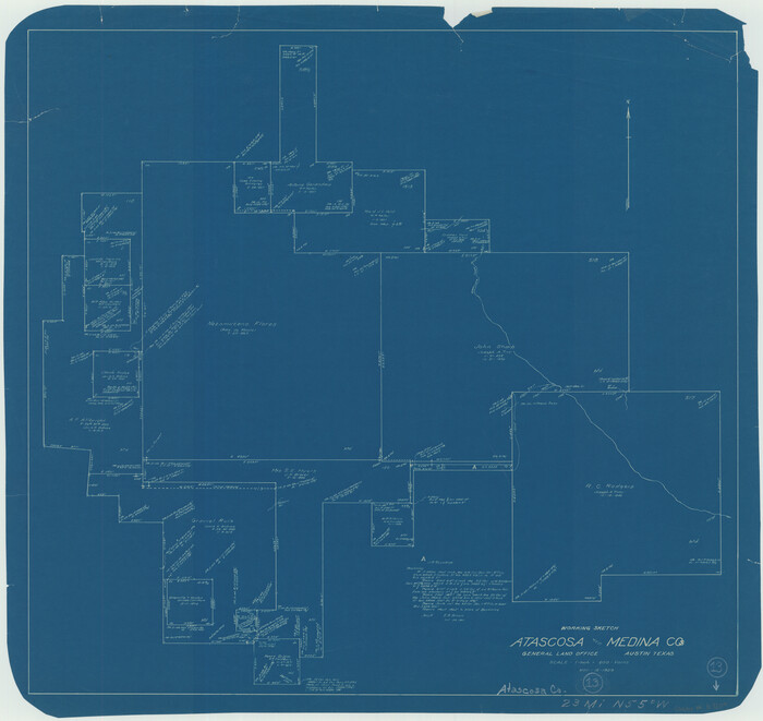
Atascosa County Working Sketch 13
1929

Atascosa County Working Sketch 20
1953
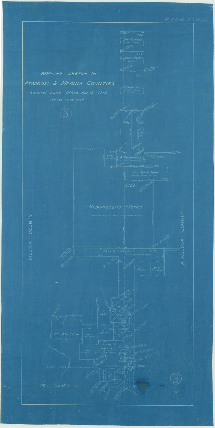
Atascosa County Working Sketch 3
1912

Bandera County Rolled Sketch 7
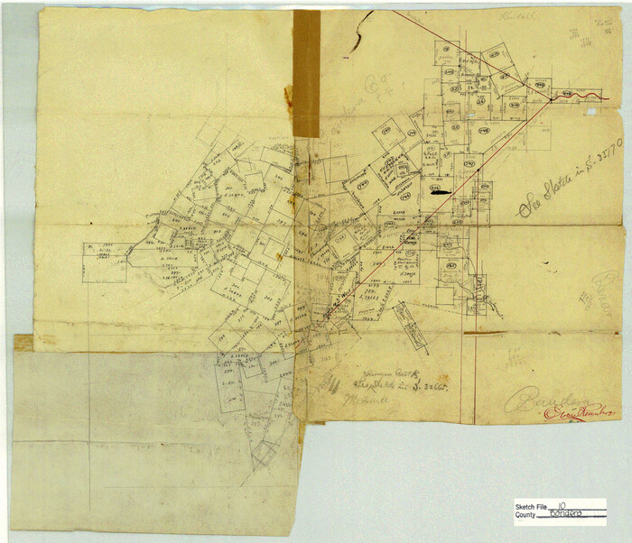
Bandera County Sketch File 10

Bandera County Sketch File 21

Bandera County Sketch File 22

Bandera County Working Sketch 45
1981

Bandera County Working Sketch 56
1991

Bexar County Rolled Sketch 6
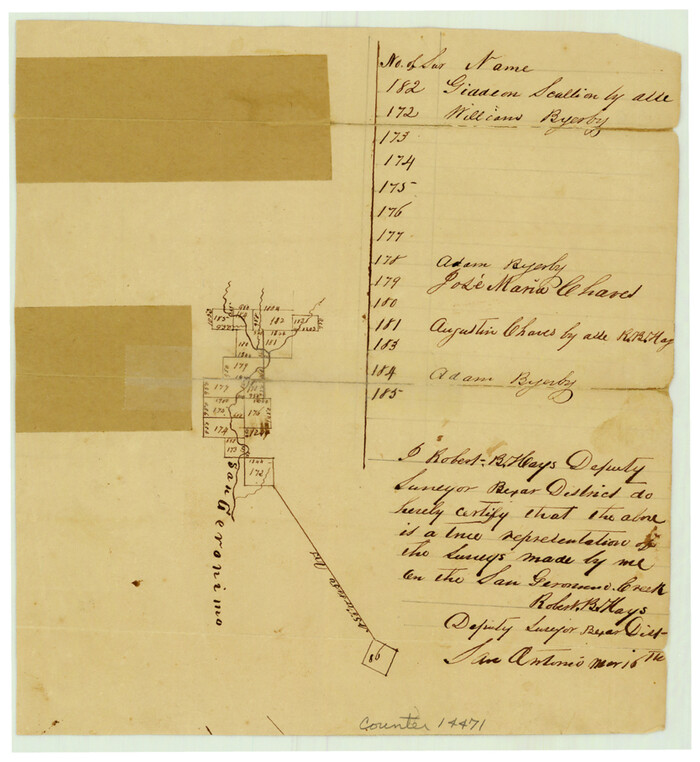
Bexar County Sketch File 2
1849
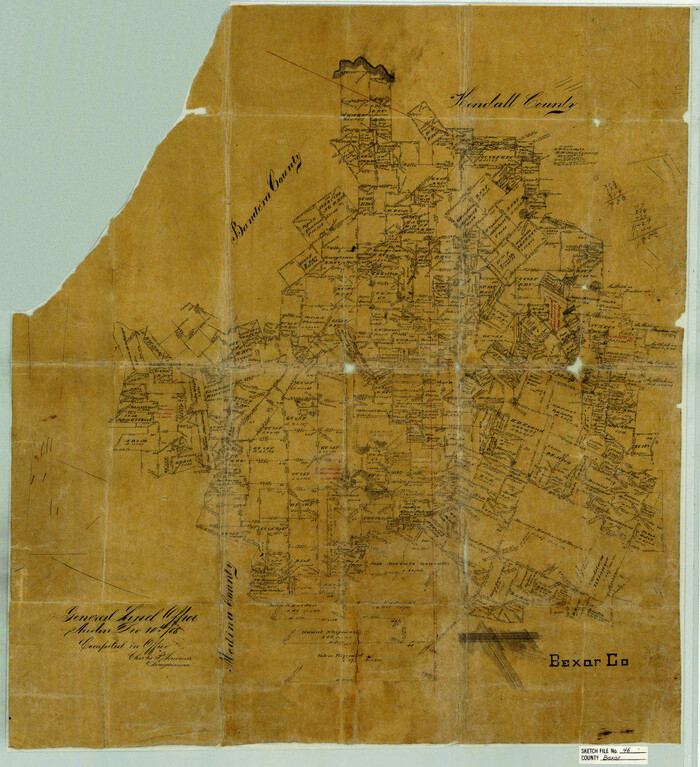
Bexar County Sketch File 46
1888
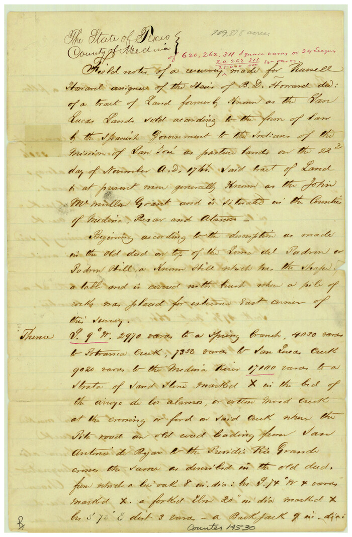
Bexar County Sketch File 49
1874
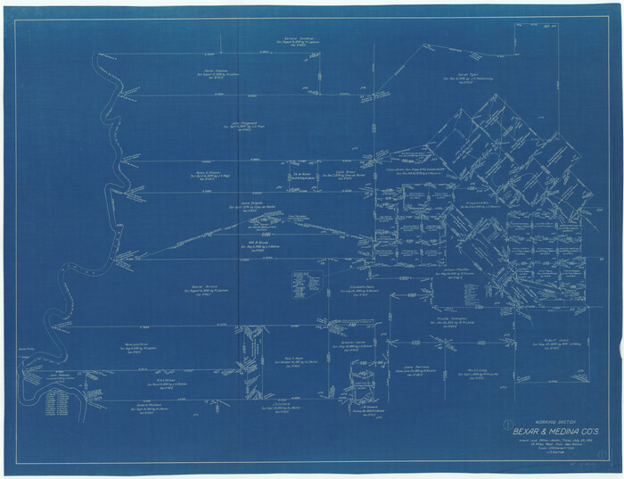
Bexar County Working Sketch 1
1935
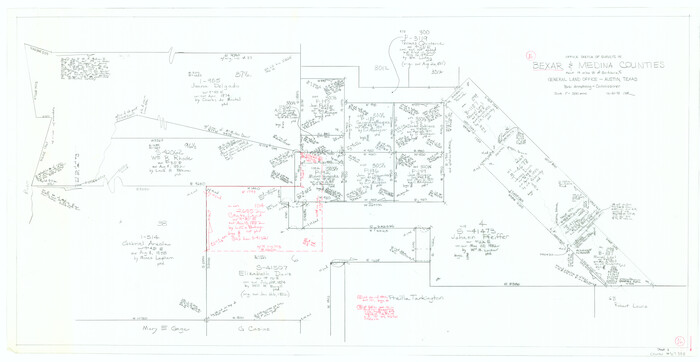
Bexar County Working Sketch 16
1978

Bexar County Working Sketch 17
1978
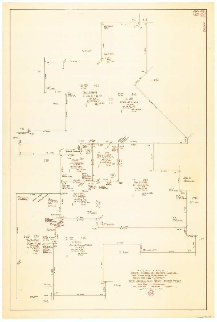
Bexar County Working Sketch 24
1989

Description of Best Route from San Antonio to Laredo, Texas
1865

General Highway Map, Medina County, Texas
1940
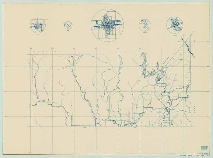
General Highway Map, Medina County, Texas
1940

General Highway Map, Medina County, Texas
1961
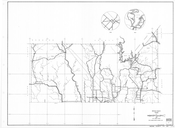
General Highway Map, Medina County, Texas
1961

Location Map of Memphis, El Paso & Pacific Railroad through Medina & Uvalde Counties
1882

Map of Castro's Colony - Bexar District
1851

Atascosa County Working Sketch 13
1929
-
Size
25.0 x 26.5 inches
-
Map/Doc
67209
-
Creation Date
1929

Atascosa County Working Sketch 20
1953
-
Size
22.9 x 25.5 inches
-
Map/Doc
67216
-
Creation Date
1953

Atascosa County Working Sketch 3
1912
-
Size
26.3 x 13.2 inches
-
Map/Doc
67198
-
Creation Date
1912

Bandera County Rolled Sketch 7
-
Size
42.7 x 29.0 inches
-
Map/Doc
5118

Bandera County Sketch File 10
-
Size
15.0 x 17.4 inches
-
Map/Doc
10892

Bandera County Sketch File 21
-
Size
12.7 x 8.1 inches
-
Map/Doc
14010

Bandera County Sketch File 22
-
Size
12.6 x 7.9 inches
-
Map/Doc
14012

Bandera County Working Sketch 45
1981
-
Size
42.4 x 35.5 inches
-
Map/Doc
67641
-
Creation Date
1981

Bandera County Working Sketch 56
1991
-
Size
28.1 x 35.1 inches
-
Map/Doc
67652
-
Creation Date
1991

Bexar County Rolled Sketch 6
-
Size
36.6 x 54.9 inches
-
Map/Doc
81902

Bexar County Sketch File 2
1849
-
Size
9.1 x 8.3 inches
-
Map/Doc
14471
-
Creation Date
1849

Bexar County Sketch File 46
1888
-
Size
24.7 x 22.6 inches
-
Map/Doc
10924
-
Creation Date
1888

Bexar County Sketch File 49
1874
-
Size
12.6 x 8.3 inches
-
Map/Doc
14530
-
Creation Date
1874

Bexar County Working Sketch 1
1935
-
Size
36.7 x 47.8 inches
-
Map/Doc
67317
-
Creation Date
1935

Bexar County Working Sketch 16
1978
-
Size
23.0 x 44.5 inches
-
Map/Doc
67332
-
Creation Date
1978

Bexar County Working Sketch 17
1978
-
Size
22.8 x 34.2 inches
-
Map/Doc
67333
-
Creation Date
1978

Bexar County Working Sketch 24
1989
-
Size
40.8 x 27.5 inches
-
Map/Doc
67340
-
Creation Date
1989

Description of Best Route from San Antonio to Laredo, Texas
1865
-
Size
28.6 x 13.7 inches
-
Map/Doc
79302
-
Creation Date
1865

General Highway Map, Medina County, Texas
1940
-
Size
18.3 x 24.5 inches
-
Map/Doc
79194
-
Creation Date
1940

General Highway Map, Medina County, Texas
1940
-
Size
18.3 x 24.6 inches
-
Map/Doc
79195
-
Creation Date
1940

General Highway Map, Medina County, Texas
1961
-
Size
18.1 x 24.5 inches
-
Map/Doc
79593
-
Creation Date
1961

General Highway Map, Medina County, Texas
1961
-
Size
18.2 x 25.0 inches
-
Map/Doc
79594
-
Creation Date
1961
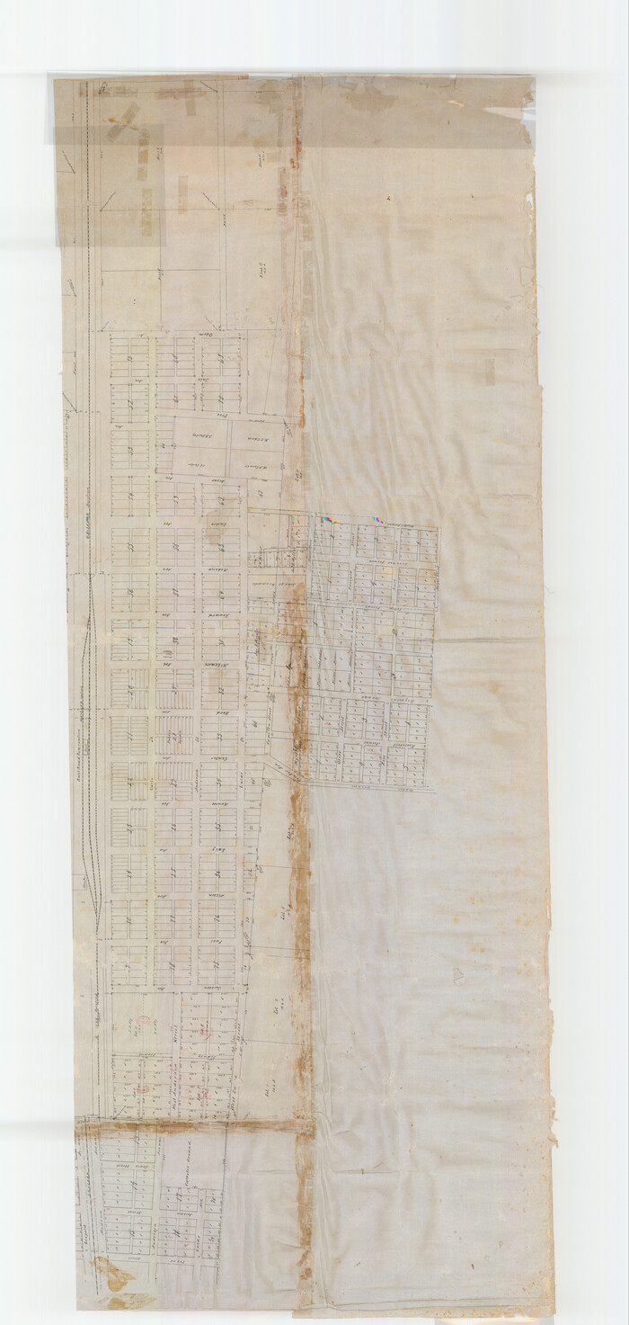
Hondo
1891
-
Size
99.2 x 40.1 inches
-
Map/Doc
82032
-
Creation Date
1891

Hondo
1891
-
Size
98.4 x 40.1 inches
-
Map/Doc
82033
-
Creation Date
1891

Location Map of Memphis, El Paso & Pacific Railroad through Medina & Uvalde Counties
1882
-
Size
19.2 x 102.0 inches
-
Map/Doc
64444
-
Creation Date
1882

Map of Castro's Colony - Bexar District
1851
-
Size
36.4 x 33.1 inches
-
Map/Doc
1962
-
Creation Date
1851

Medina County
1915
-
Size
53.2 x 44.8 inches
-
Map/Doc
10790
-
Creation Date
1915

Medina County
1873
-
Size
21.9 x 21.0 inches
-
Map/Doc
3868
-
Creation Date
1873
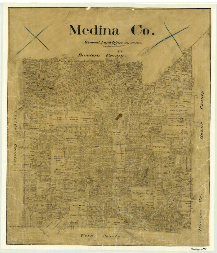
Medina County
1895
-
Size
25.8 x 22.1 inches
-
Map/Doc
3869
-
Creation Date
1895
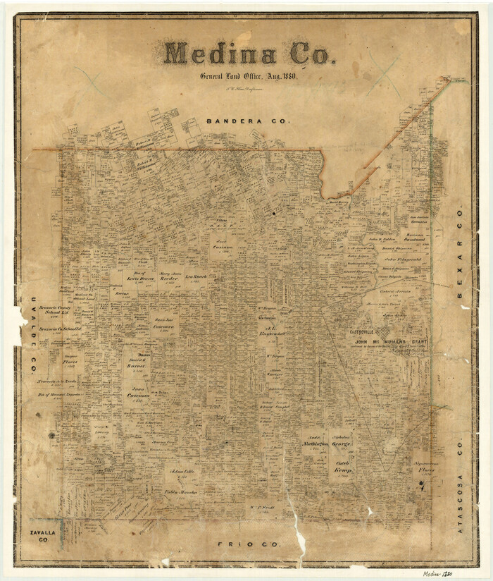
Medina County
1880
-
Size
26.8 x 22.9 inches
-
Map/Doc
3870
-
Creation Date
1880