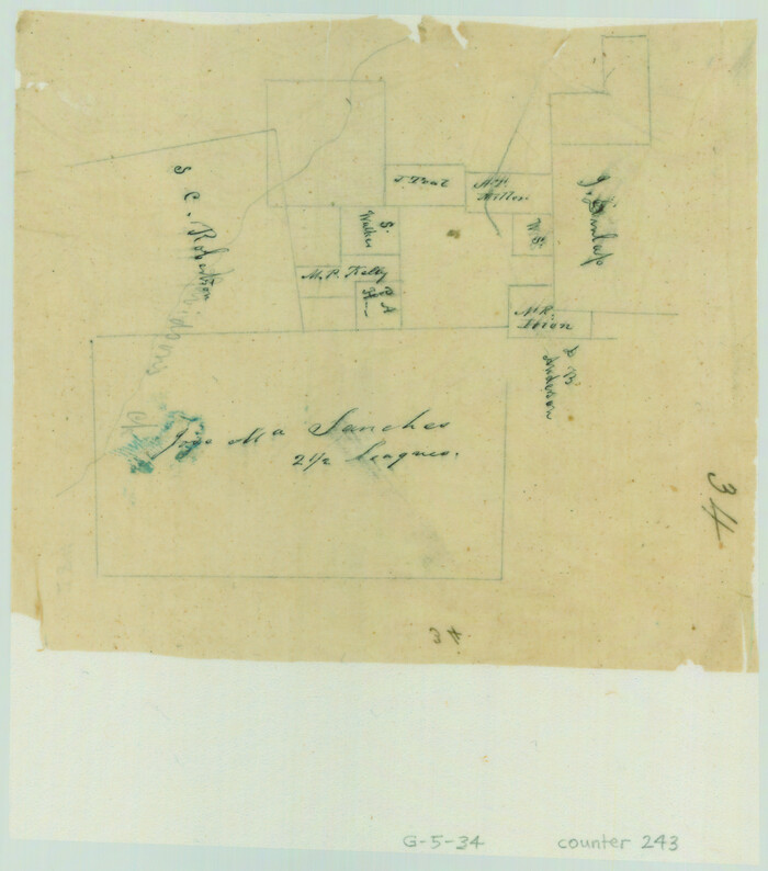
[Surveys along Davidson's Creek]
Print $2.00
- Digital $50.00
[Surveys along Davidson's Creek]
Size: 5.3 x 4.7 inches
243
Milam County Sketch File 4

Print $4.00
- Digital $50.00
Milam County Sketch File 4
Size: 7.6 x 8.2 inches
31630
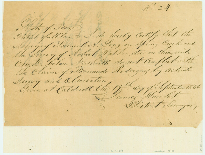
[Surveyor's certificate by James Howlet, District Surveyor]
Print $2.00
- Digital $50.00
[Surveyor's certificate by James Howlet, District Surveyor]
Size: 6.1 x 8.0 inches
318

Milam County Boundary File 1

Print $8.00
- Digital $50.00
Milam County Boundary File 1
Size: 12.7 x 8.2 inches
57198
Milam County Boundary File 2

Print $30.00
- Digital $50.00
Milam County Boundary File 2
Size: 12.7 x 8.2 inches
57202
Milam County Boundary File 2a

Print $10.00
- Digital $50.00
Milam County Boundary File 2a
Size: 10.6 x 8.0 inches
57208
Milam County Boundary File 3

Print $16.00
- Digital $50.00
Milam County Boundary File 3
Size: 13.9 x 8.5 inches
57213
Milam County Boundary File 4

Print $4.00
- Digital $50.00
Milam County Boundary File 4
Size: 13.3 x 8.2 inches
57221
Milam County Boundary File 5

Print $18.00
- Digital $50.00
Milam County Boundary File 5
Size: 8.9 x 9.7 inches
57223
Milam County Boundary File 5a

Print $12.00
- Digital $50.00
Milam County Boundary File 5a
Size: 14.1 x 8.5 inches
57233
Milam County Boundary File 5b

Print $20.00
- Digital $50.00
Milam County Boundary File 5b
Size: 22.6 x 37.8 inches
57239
Milam County Boundary File 6

Print $16.00
- Digital $50.00
Milam County Boundary File 6
Size: 8.8 x 14.5 inches
57240
Milam County Boundary File 6a

Print $20.00
- Digital $50.00
Milam County Boundary File 6a
Size: 9.5 x 29.0 inches
57248
Milam County Boundary File 6b

Print $40.00
- Digital $50.00
Milam County Boundary File 6b
Size: 31.1 x 48.8 inches
57249
Milam County Boundary File 6c

Print $2.00
- Digital $50.00
Milam County Boundary File 6c
Size: 11.2 x 8.5 inches
57250
Milam County Boundary File 65

Print $10.00
- Digital $50.00
Milam County Boundary File 65
Size: 8.8 x 7.8 inches
57251
Milam County Boundary File 65a

Print $40.00
- Digital $50.00
Milam County Boundary File 65a
Size: 17.2 x 30.4 inches
57256
San Antonio and Aransas Pass Ry. from Survey Station 4852+100 to Survey Station 5280+00

Print $4.00
- Digital $50.00
San Antonio and Aransas Pass Ry. from Survey Station 4852+100 to Survey Station 5280+00
Size: 11.8 x 18.6 inches
62570
Milam County Rolled Sketch 5

Print $20.00
- Digital $50.00
Milam County Rolled Sketch 5
Size: 27.9 x 39.8 inches
6777
Milam County Working Sketch 3

Print $20.00
- Digital $50.00
Milam County Working Sketch 3
Size: 29.0 x 38.4 inches
71018
Milam County Working Sketch 12

Print $40.00
- Digital $50.00
Milam County Working Sketch 12
Size: 44.3 x 56.4 inches
71027
Milam County Working Sketch 16

Print $20.00
- Digital $50.00
Milam County Working Sketch 16
Size: 30.4 x 36.2 inches
71028
Falls County Sketch File 29

Print $40.00
- Digital $50.00
Falls County Sketch File 29
Size: 19.9 x 23.5 inches
75994
[Old Surveys, Robertson Colony in Milam County]
Print $20.00
- Digital $50.00
[Old Surveys, Robertson Colony in Milam County]
Size: 12.2 x 15.6 inches
78268
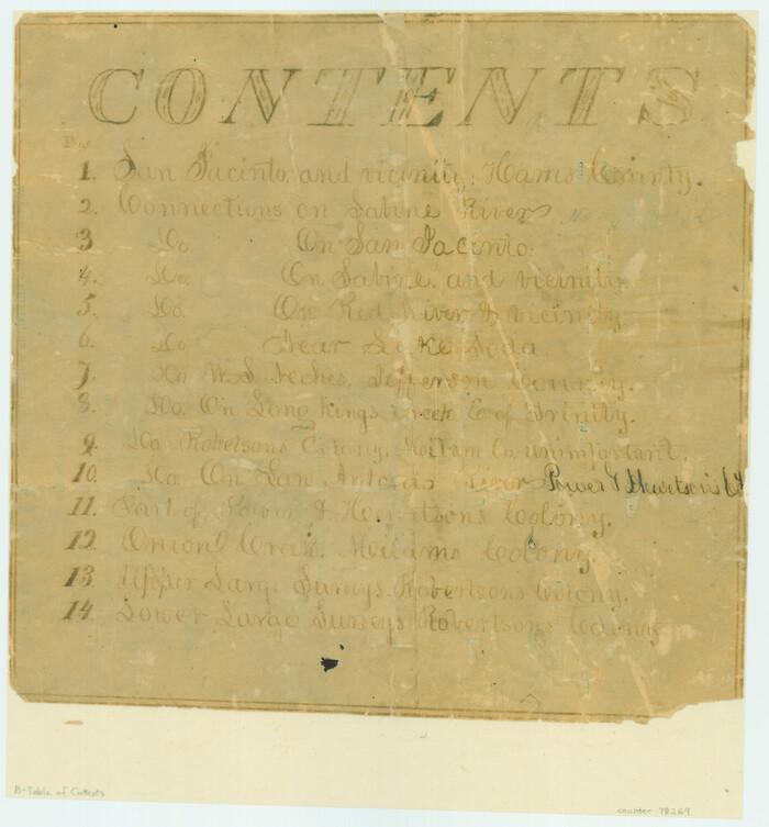
[Atlas B, Table of Contents]
Print $3.00
- Digital $50.00
[Atlas B, Table of Contents]
Size: 10.3 x 9.6 inches
78269
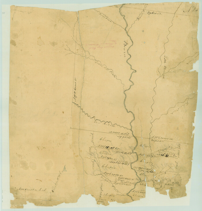
[Surveys in Austin's Colony along the Brazos River]
Print $20.00
- Digital $50.00
[Surveys in Austin's Colony along the Brazos River]
1833
Size: 25.0 x 23.9 inches
164
English Field Notes of the Spanish Archives - Book A-B

English Field Notes of the Spanish Archives - Book A-B
1835
96540
English Field Notes of the Spanish Archives - Book C

English Field Notes of the Spanish Archives - Book C
1835
96541
English Field Notes of the Spanish Archives - Book D

English Field Notes of the Spanish Archives - Book D
1835
96542
[Surveys along Davidson's Creek]
Print $2.00
- Digital $50.00
[Surveys along Davidson's Creek]
-
Size
5.3 x 4.7 inches
-
Map/Doc
243
Milam County Sketch File 4
Print $4.00
- Digital $50.00
Milam County Sketch File 4
-
Size
7.6 x 8.2 inches
-
Map/Doc
31630
[Surveyor's certificate by James Howlet, District Surveyor]
Print $2.00
- Digital $50.00
[Surveyor's certificate by James Howlet, District Surveyor]
-
Size
6.1 x 8.0 inches
-
Map/Doc
318
Milam County Boundary File 1
Print $8.00
- Digital $50.00
Milam County Boundary File 1
-
Size
12.7 x 8.2 inches
-
Map/Doc
57198
Milam County Boundary File 2
Print $30.00
- Digital $50.00
Milam County Boundary File 2
-
Size
12.7 x 8.2 inches
-
Map/Doc
57202
Milam County Boundary File 2a
Print $10.00
- Digital $50.00
Milam County Boundary File 2a
-
Size
10.6 x 8.0 inches
-
Map/Doc
57208
Milam County Boundary File 3
Print $16.00
- Digital $50.00
Milam County Boundary File 3
-
Size
13.9 x 8.5 inches
-
Map/Doc
57213
Milam County Boundary File 4
Print $4.00
- Digital $50.00
Milam County Boundary File 4
-
Size
13.3 x 8.2 inches
-
Map/Doc
57221
Milam County Boundary File 5
Print $18.00
- Digital $50.00
Milam County Boundary File 5
-
Size
8.9 x 9.7 inches
-
Map/Doc
57223
Milam County Boundary File 5a
Print $12.00
- Digital $50.00
Milam County Boundary File 5a
-
Size
14.1 x 8.5 inches
-
Map/Doc
57233
Milam County Boundary File 5b
Print $20.00
- Digital $50.00
Milam County Boundary File 5b
-
Size
22.6 x 37.8 inches
-
Map/Doc
57239
Milam County Boundary File 6
Print $16.00
- Digital $50.00
Milam County Boundary File 6
-
Size
8.8 x 14.5 inches
-
Map/Doc
57240
Milam County Boundary File 6a
Print $20.00
- Digital $50.00
Milam County Boundary File 6a
-
Size
9.5 x 29.0 inches
-
Map/Doc
57248
Milam County Boundary File 6b
Print $40.00
- Digital $50.00
Milam County Boundary File 6b
-
Size
31.1 x 48.8 inches
-
Map/Doc
57249
Milam County Boundary File 6c
Print $2.00
- Digital $50.00
Milam County Boundary File 6c
-
Size
11.2 x 8.5 inches
-
Map/Doc
57250
Milam County Boundary File 65
Print $10.00
- Digital $50.00
Milam County Boundary File 65
-
Size
8.8 x 7.8 inches
-
Map/Doc
57251
Milam County Boundary File 65a
Print $40.00
- Digital $50.00
Milam County Boundary File 65a
-
Size
17.2 x 30.4 inches
-
Map/Doc
57256
San Antonio and Aransas Pass Ry. from Survey Station 4852+100 to Survey Station 5280+00
Print $4.00
- Digital $50.00
San Antonio and Aransas Pass Ry. from Survey Station 4852+100 to Survey Station 5280+00
-
Size
11.8 x 18.6 inches
-
Map/Doc
62570
Milam County Rolled Sketch 5
Print $20.00
- Digital $50.00
Milam County Rolled Sketch 5
-
Size
27.9 x 39.8 inches
-
Map/Doc
6777
Milam County Working Sketch 3
Print $20.00
- Digital $50.00
Milam County Working Sketch 3
-
Size
29.0 x 38.4 inches
-
Map/Doc
71018
Milam County Working Sketch 12
Print $40.00
- Digital $50.00
Milam County Working Sketch 12
-
Size
44.3 x 56.4 inches
-
Map/Doc
71027
Milam County Working Sketch 16
Print $20.00
- Digital $50.00
Milam County Working Sketch 16
-
Size
30.4 x 36.2 inches
-
Map/Doc
71028
Falls County Sketch File 29
Print $40.00
- Digital $50.00
Falls County Sketch File 29
-
Size
19.9 x 23.5 inches
-
Map/Doc
75994
[Old Surveys, Robertson Colony in Milam County]
Print $20.00
- Digital $50.00
[Old Surveys, Robertson Colony in Milam County]
-
Size
12.2 x 15.6 inches
-
Map/Doc
78268
[Atlas B, Table of Contents]
Print $3.00
- Digital $50.00
[Atlas B, Table of Contents]
-
Size
10.3 x 9.6 inches
-
Map/Doc
78269
[Surveys in Austin's Colony along the Brazos River]
Print $20.00
- Digital $50.00
[Surveys in Austin's Colony along the Brazos River]
1833
-
Size
25.0 x 23.9 inches
-
Map/Doc
164
-
Creation Date
1833
English Field Notes of the Spanish Archives - Book A-B
English Field Notes of the Spanish Archives - Book A-B
1835
-
Map/Doc
96540
-
Creation Date
1835
English Field Notes of the Spanish Archives - Book C
English Field Notes of the Spanish Archives - Book C
1835
-
Map/Doc
96541
-
Creation Date
1835
English Field Notes of the Spanish Archives - Book D
English Field Notes of the Spanish Archives - Book D
1835
-
Map/Doc
96542
-
Creation Date
1835