
Moore County Rolled Sketch 16A
1982
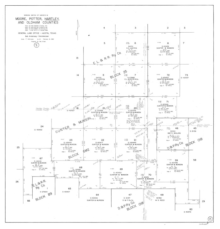
Hartley County Working Sketch 8
1982
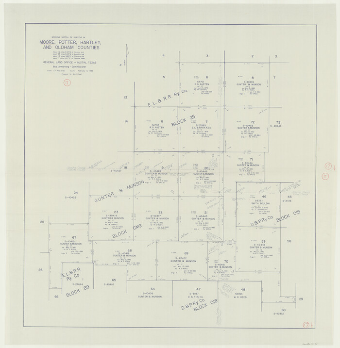
Moore County Working Sketch 17
1982
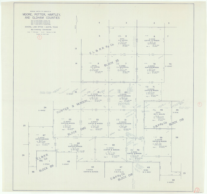
Oldham County Working Sketch 7
1982

Potter County Working Sketch 14
1982

Moore County Rolled Sketch 14
1981

Moore County Rolled Sketch 16
1981

Moore County Rolled Sketch 14A
1981
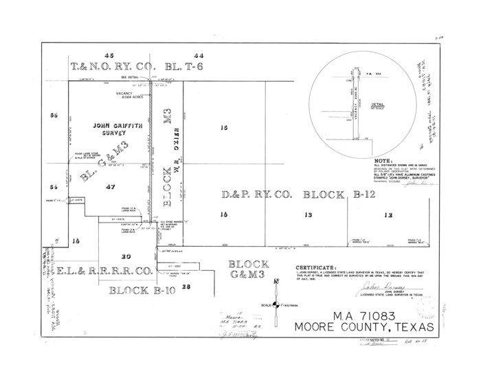
Moore County Rolled Sketch 15
1981
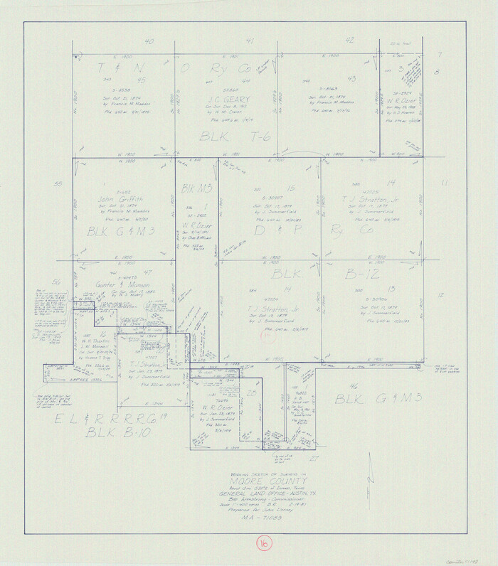
Moore County Working Sketch 16
1981
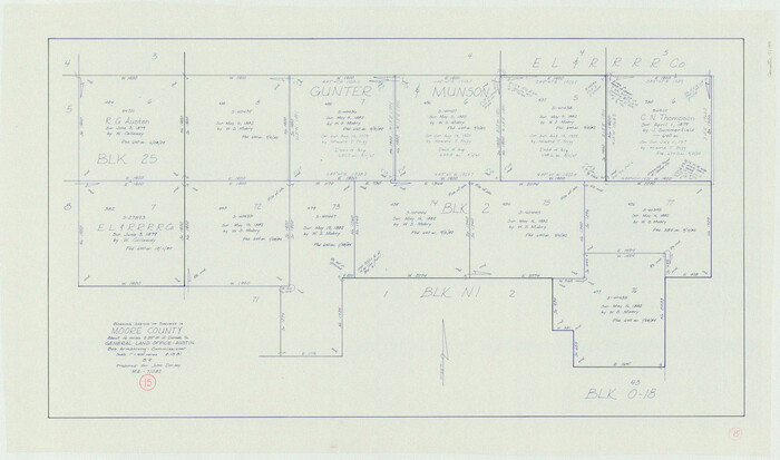
Moore County Working Sketch 15
1981
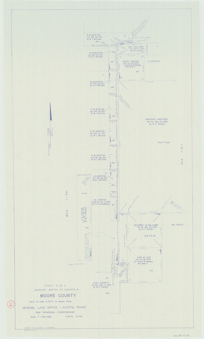
Moore County Working Sketch 14
1972
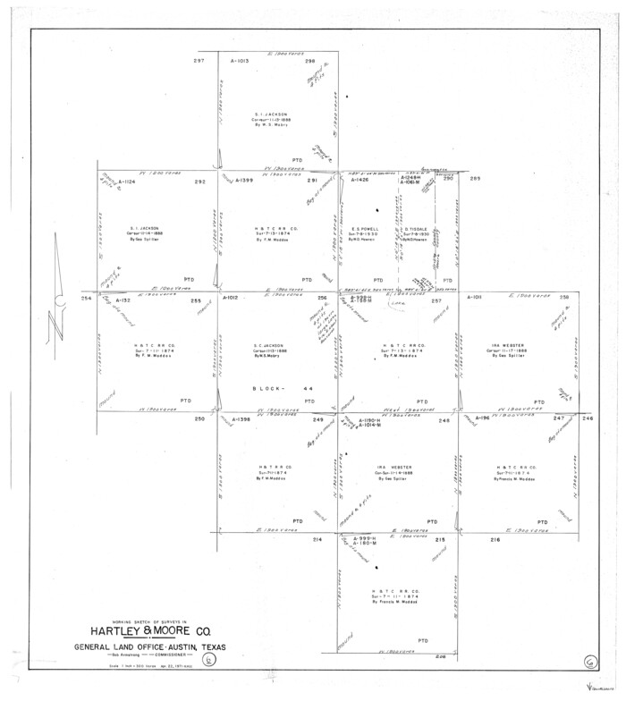
Hartley County Working Sketch 6
1971
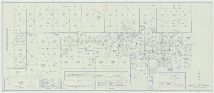
Moore County Working Sketch 13
1967
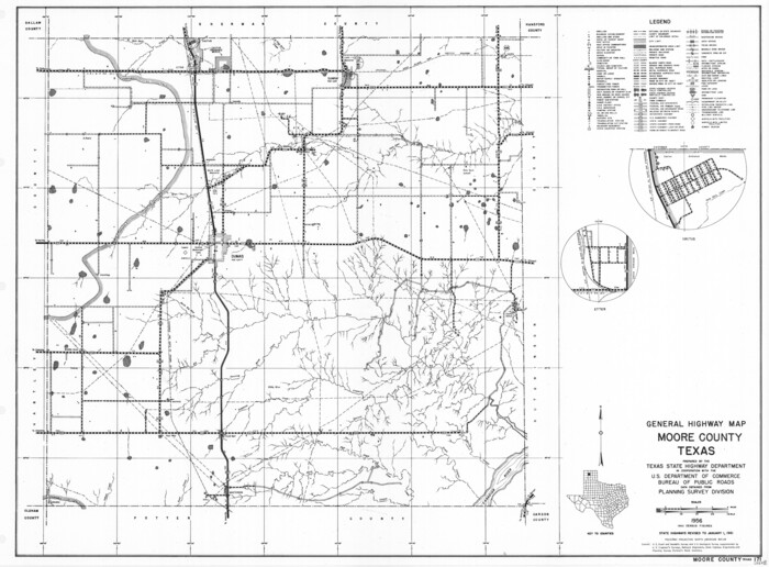
General Highway Map, Moore County, Texas
1961

Hutchinson County Working Sketch 17
1955
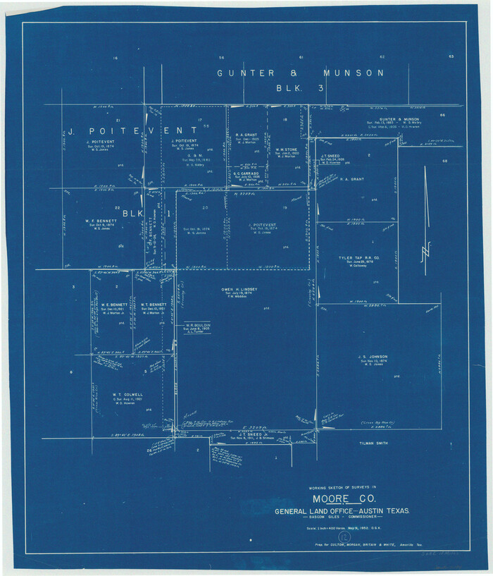
Moore County Working Sketch 12
1952
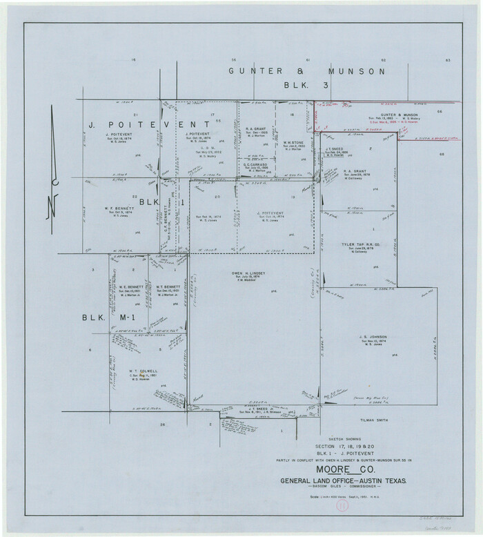
Moore County Working Sketch 11
1951

Moore County Working Sketch 10
1951
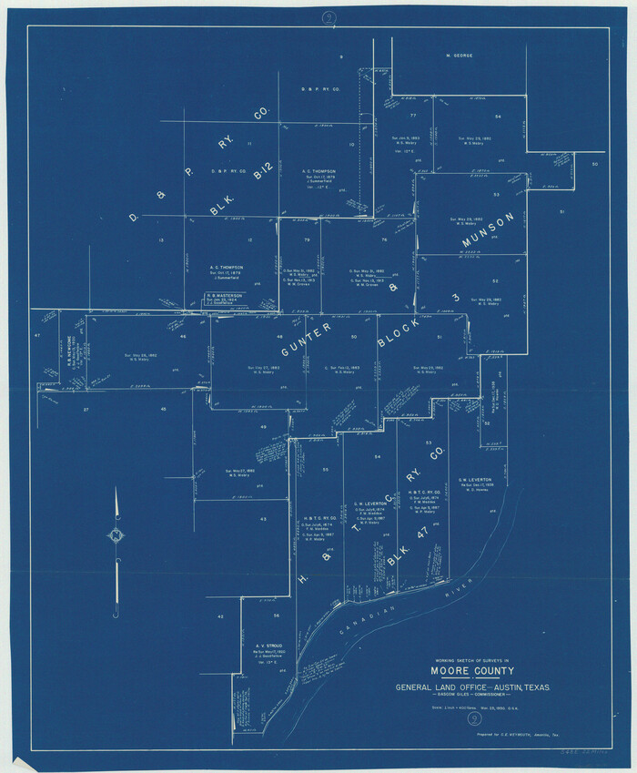
Moore County Working Sketch 9
1950
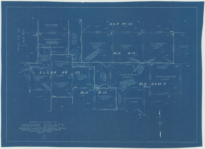
Moore County Working Sketch 8
1948

General Highway Map, Moore County, Texas
1940
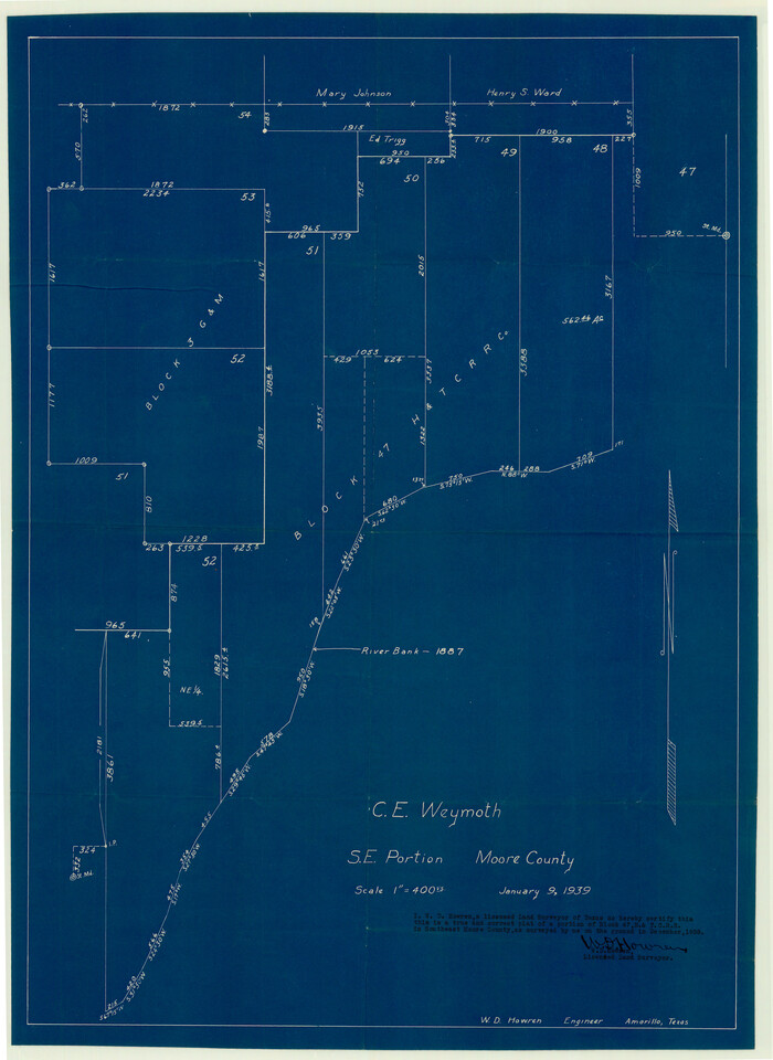
Moore County Sketch File 12
1939
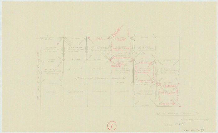
Moore County Working Sketch 7
1939

Moore County Working Sketch 2
1934

Hansford County Working Sketch 1
1934

Hartley County Working Sketch 4
1934

Moore County Rolled Sketch 16A
1982
-
Size
21.1 x 33.4 inches
-
Map/Doc
6834
-
Creation Date
1982

Hartley County Working Sketch 8
1982
-
Size
34.0 x 32.6 inches
-
Map/Doc
66058
-
Creation Date
1982

Moore County Working Sketch 17
1982
-
Size
37.0 x 36.2 inches
-
Map/Doc
71199
-
Creation Date
1982

Oldham County Working Sketch 7
1982
-
Size
33.4 x 35.6 inches
-
Map/Doc
71329
-
Creation Date
1982

Potter County Working Sketch 14
1982
-
Size
33.7 x 32.6 inches
-
Map/Doc
71674
-
Creation Date
1982

Moore County Rolled Sketch 14
1981
-
Size
22.6 x 26.6 inches
-
Map/Doc
6830
-
Creation Date
1981

Moore County Rolled Sketch 16
1981
-
Size
21.8 x 27.8 inches
-
Map/Doc
6833
-
Creation Date
1981

Moore County Rolled Sketch 14A
1981
-
Size
21.8 x 27.5 inches
-
Map/Doc
6831
-
Creation Date
1981

Moore County Rolled Sketch 15
1981
-
Size
21.9 x 27.8 inches
-
Map/Doc
6832
-
Creation Date
1981

Moore County Working Sketch 16
1981
-
Size
26.3 x 23.2 inches
-
Map/Doc
71198
-
Creation Date
1981

Moore County Working Sketch 15
1981
-
Size
20.8 x 35.3 inches
-
Map/Doc
71197
-
Creation Date
1981

Moore County Working Sketch 14
1972
-
Size
32.7 x 19.8 inches
-
Map/Doc
71196
-
Creation Date
1972

Hartley County Working Sketch 6
1971
-
Size
37.0 x 37.0 inches
-
Map/Doc
66056
-
Creation Date
1971

Moore County Working Sketch 13
1967
-
Size
38.2 x 87.5 inches
-
Map/Doc
71195
-
Creation Date
1967

General Highway Map, Moore County, Texas
1961
-
Size
18.1 x 24.5 inches
-
Map/Doc
79604
-
Creation Date
1961

Hutchinson County Working Sketch 17
1955
-
Size
47.2 x 128.6 inches
-
Map/Doc
66375
-
Creation Date
1955

Moore County Working Sketch 12
1952
-
Size
33.1 x 28.4 inches
-
Map/Doc
71194
-
Creation Date
1952

Moore County Working Sketch 11
1951
-
Size
33.1 x 29.8 inches
-
Map/Doc
71193
-
Creation Date
1951

Moore County Working Sketch 10
1951
-
Size
34.9 x 31.5 inches
-
Map/Doc
71192
-
Creation Date
1951

Moore County Working Sketch 9
1950
-
Size
38.5 x 31.8 inches
-
Map/Doc
71191
-
Creation Date
1950

Moore County Working Sketch 8
1948
-
Size
23.2 x 31.8 inches
-
Map/Doc
71190
-
Creation Date
1948

General Highway Map, Moore County, Texas
1940
-
Size
18.4 x 24.8 inches
-
Map/Doc
79203
-
Creation Date
1940

Moore County Sketch File 12
1939
-
Size
27.3 x 19.9 inches
-
Map/Doc
42130
-
Creation Date
1939

Moore County Working Sketch 7
1939
-
Size
10.8 x 17.8 inches
-
Map/Doc
71189
-
Creation Date
1939

Moore County Working Sketch 2
1934
-
Size
18.3 x 41.3 inches
-
Map/Doc
71184
-
Creation Date
1934

Hansford County Working Sketch 1
1934
-
Size
43.0 x 54.1 inches
-
Map/Doc
63373
-
Creation Date
1934

Hartley County Working Sketch 4
1934
-
Size
23.9 x 30.6 inches
-
Map/Doc
66054
-
Creation Date
1934
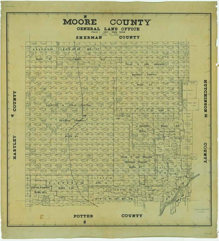
Moore County
1932
-
Size
44.7 x 40.5 inches
-
Map/Doc
66942
-
Creation Date
1932

Moore County
1932
-
Size
41.2 x 39.2 inches
-
Map/Doc
73245
-
Creation Date
1932

Moore County
1932
-
Size
42.2 x 40.2 inches
-
Map/Doc
95595
-
Creation Date
1932