
Capitol Land Reservation
1880

Capitol Land Reservation
1882

Dallam County Sketch File 13

Dumas, Moore County, Texas
1891

General Highway Map Moore County

General Highway Map, Moore County, Texas
1940
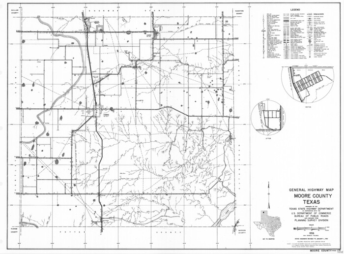
General Highway Map, Moore County, Texas
1961

Hansford County Working Sketch 1
1934

Hartley County Sketch File 12
1906

Hartley County Working Sketch 4
1934
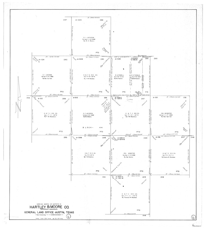
Hartley County Working Sketch 6
1971
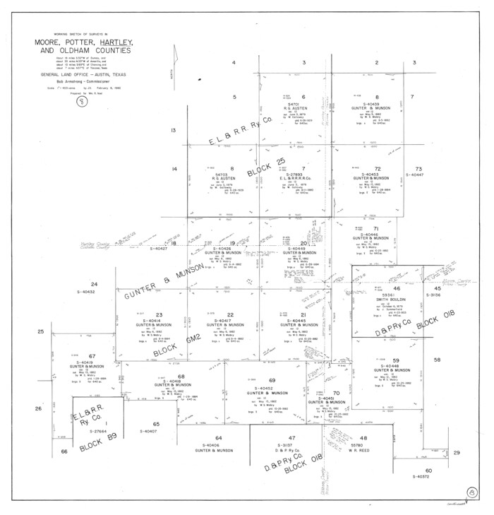
Hartley County Working Sketch 8
1982

Hutchinson County Rolled Sketch 2

Hutchinson County Sketch File 10
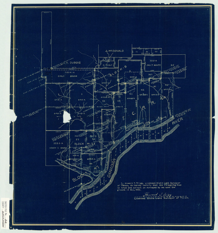
Hutchinson County Sketch File 26
1920

Hutchinson County Sketch File 5
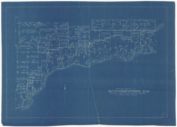
Hutchinson County Working Sketch 13
1926

Hutchinson County Working Sketch 17
1955

Hutchinson County Working Sketch 17

Hutchinson County Working Sketch 4
1907

Lipscomb County Sketch File 1
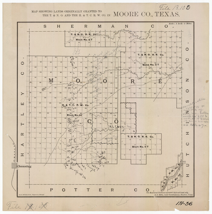
Map Showing Lands Originally Granted to the T. & N. O. and the H. & T. C. Railway Companies in Moore County, Texas
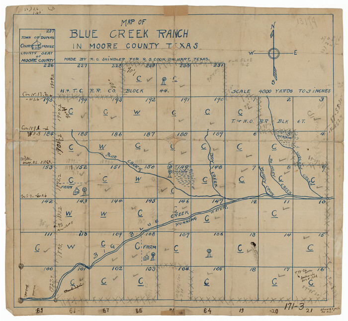
Map of Blue Creek Ranch in Moore County, Texas
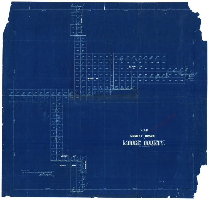
Map of County Roads in Moore County

Map of the Capitol Land Reservation
1880

Capitol Land Reservation
1880
-
Size
115.6 x 36.6 inches
-
Map/Doc
10785
-
Creation Date
1880

Capitol Land Reservation
1882
-
Size
51.4 x 18.0 inches
-
Map/Doc
76175
-
Creation Date
1882

Dallam County Sketch File 13
-
Size
22.2 x 20.3 inches
-
Map/Doc
11280

Dumas, Moore County, Texas
1891
-
Size
13.4 x 15.7 inches
-
Map/Doc
92111
-
Creation Date
1891

General Highway Map Moore County
-
Size
14.4 x 10.3 inches
-
Map/Doc
92289

General Highway Map, Moore County, Texas
1940
-
Size
18.4 x 24.8 inches
-
Map/Doc
79203
-
Creation Date
1940

General Highway Map, Moore County, Texas
1961
-
Size
18.1 x 24.5 inches
-
Map/Doc
79604
-
Creation Date
1961

Hansford County Working Sketch 1
1934
-
Size
43.0 x 54.1 inches
-
Map/Doc
63373
-
Creation Date
1934

Hartley County Sketch File 12
1906
-
Size
16.3 x 12.4 inches
-
Map/Doc
11736
-
Creation Date
1906

Hartley County Working Sketch 4
1934
-
Size
23.9 x 30.6 inches
-
Map/Doc
66054
-
Creation Date
1934

Hartley County Working Sketch 6
1971
-
Size
37.0 x 37.0 inches
-
Map/Doc
66056
-
Creation Date
1971

Hartley County Working Sketch 8
1982
-
Size
34.0 x 32.6 inches
-
Map/Doc
66058
-
Creation Date
1982

Hutchinson County Rolled Sketch 2
-
Size
36.1 x 42.0 inches
-
Map/Doc
76069

Hutchinson County Sketch File 10
-
Size
55.8 x 9.2 inches
-
Map/Doc
10500

Hutchinson County Sketch File 26
1920
-
Size
18.6 x 17.4 inches
-
Map/Doc
11816
-
Creation Date
1920

Hutchinson County Sketch File 5
-
Size
15.1 x 62.7 inches
-
Map/Doc
10498

Hutchinson County Working Sketch 13
1926
-
Size
22.6 x 31.5 inches
-
Map/Doc
66371
-
Creation Date
1926

Hutchinson County Working Sketch 17
1955
-
Size
47.2 x 128.6 inches
-
Map/Doc
66375
-
Creation Date
1955

Hutchinson County Working Sketch 17
-
Size
45.8 x 44.2 inches
-
Map/Doc
66376

Hutchinson County Working Sketch 4
1907
-
Size
25.0 x 23.4 inches
-
Map/Doc
66362
-
Creation Date
1907

Lipscomb County Sketch File 1
-
Size
51.7 x 14.2 inches
-
Map/Doc
10525

Map Showing Lands Originally Granted to the T. & N. O. and the H. & T. C. Railway Companies in Moore County, Texas
-
Size
14.2 x 14.6 inches
-
Map/Doc
91520

Map of Blue Creek Ranch in Moore County, Texas
-
Size
15.1 x 13.8 inches
-
Map/Doc
91420

Map of County Roads in Moore County
-
Size
22.2 x 21.2 inches
-
Map/Doc
93005

Map of the Capitol Land Reservation
1880
-
Size
43.5 x 34.6 inches
-
Map/Doc
1751
-
Creation Date
1880

Moore Co.
1902
-
Size
43.4 x 37.1 inches
-
Map/Doc
10795
-
Creation Date
1902

Moore County
1884
-
Size
22.2 x 17.9 inches
-
Map/Doc
3899
-
Creation Date
1884
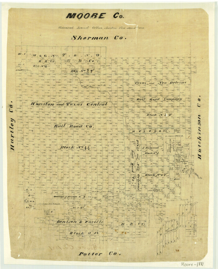
Moore County
1881
-
Size
23.0 x 18.6 inches
-
Map/Doc
3900
-
Creation Date
1881
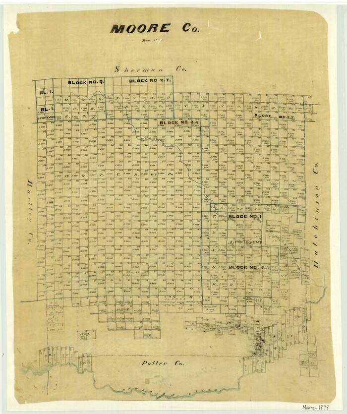
Moore County
1878
-
Size
22.7 x 19.1 inches
-
Map/Doc
3901
-
Creation Date
1878
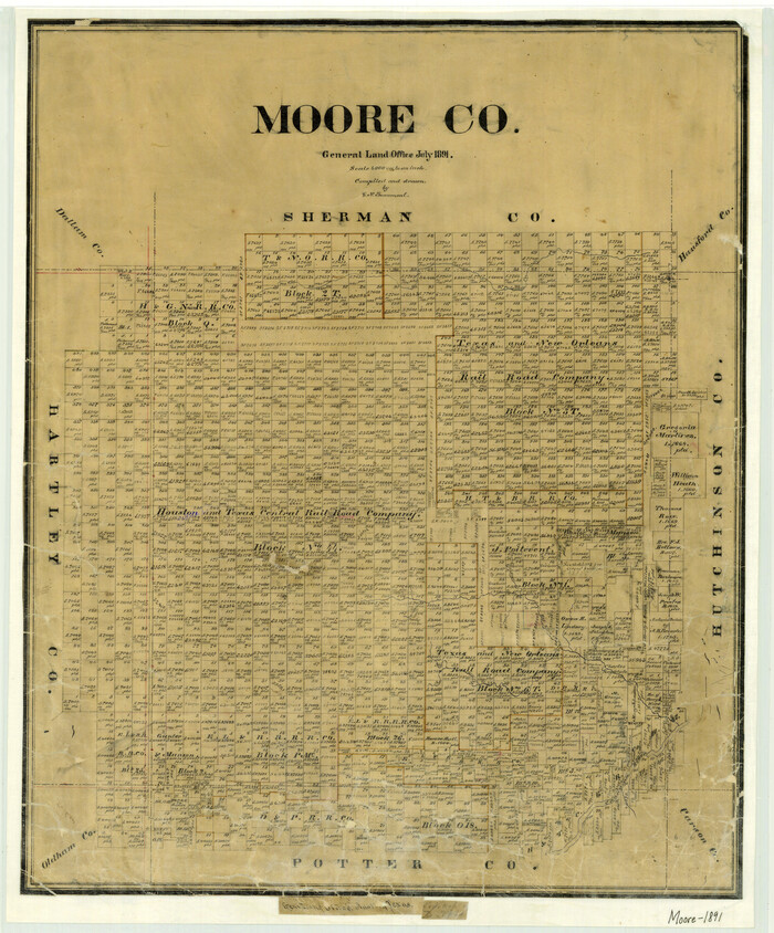
Moore County
1891
-
Size
25.5 x 21.1 inches
-
Map/Doc
3902
-
Creation Date
1891