
Ellis County Sketch File 19
1863

English Field Notes of the Spanish Archives - Books SAS, DB4, GWS, JWB, and JWB3
1835

English Field Notes of the Spanish Archives - Books TJG, DB, A, A2, B, B2, WB, and WR
1835
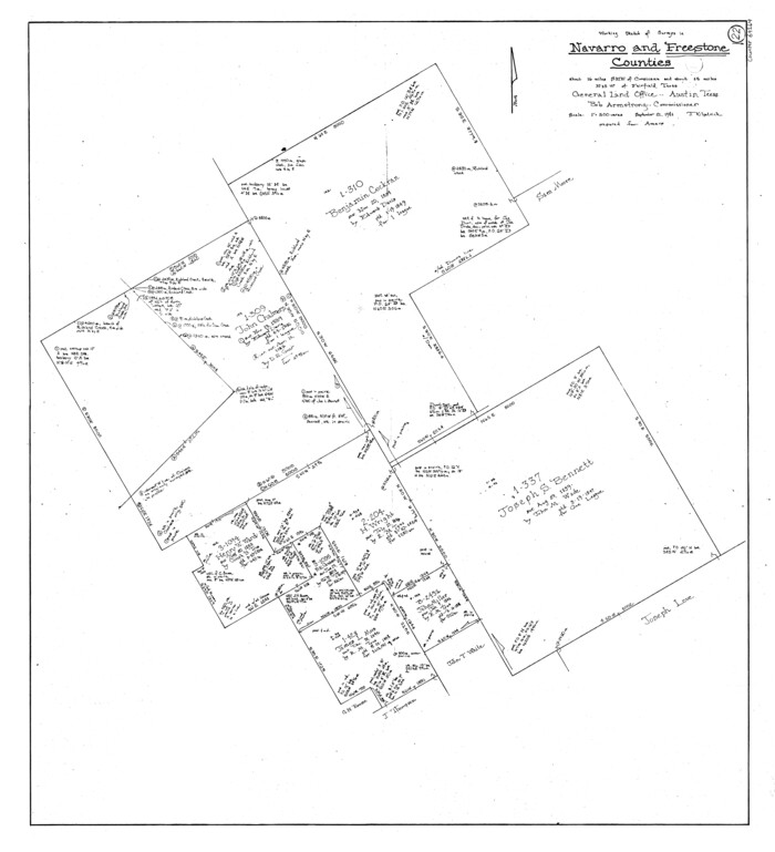
Freestone County Working Sketch 22
1981
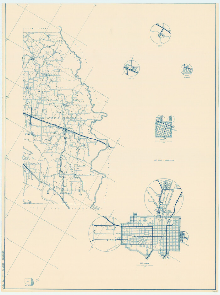
General Highway Map, Navarro County, Texas
1939

General Highway Map, Navarro County, Texas
1939

General Highway Map, Navarro County, Texas
1961

General Highway Map. Detail of Cities and Towns in Navarro County, Texas
1961
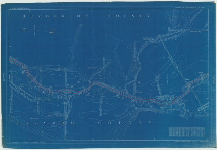
Henderson County Rolled Sketch 11
1915

Henderson County Rolled Sketch 11
1915

Henderson County Rolled Sketch 11
1915
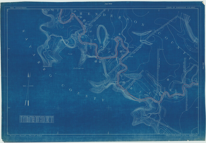
Henderson County Rolled Sketch 11
1915
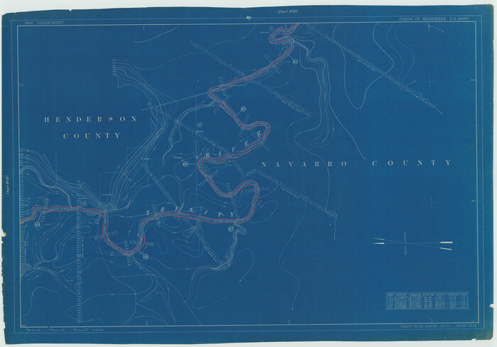
Henderson County Rolled Sketch 11
1915
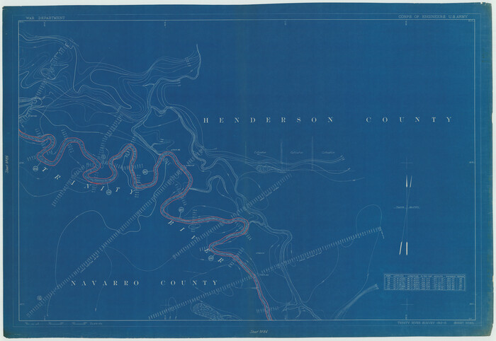
Henderson County Rolled Sketch 11
1915

Henderson County Rolled Sketch 11
1915

Henderson County Rolled Sketch 11
1915

Henderson County Rolled Sketch 11
1915

Henderson County Rolled Sketch 11
1915
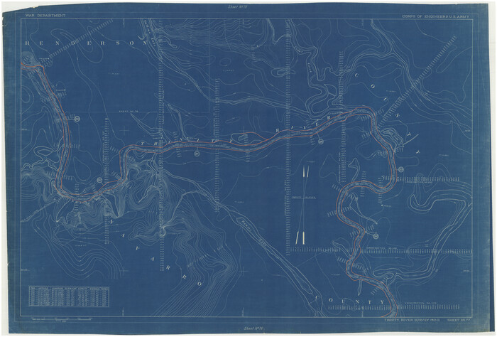
Henderson County Rolled Sketch 11
1915
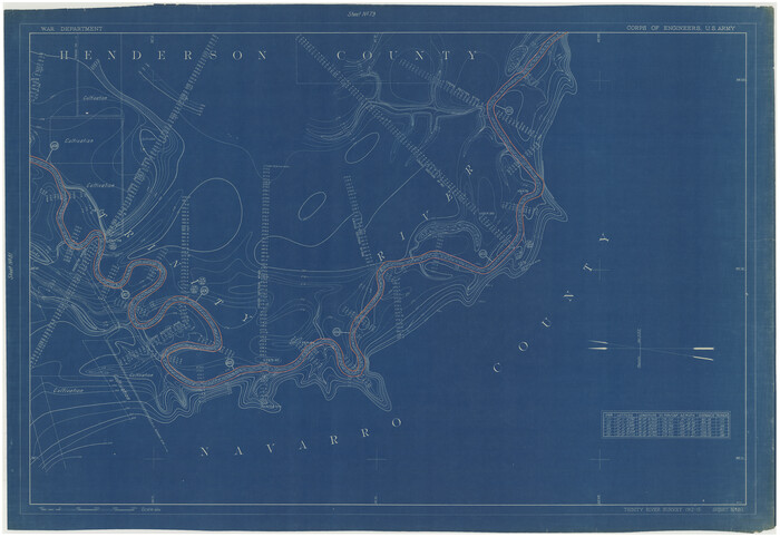
Henderson County Rolled Sketch 11
1915
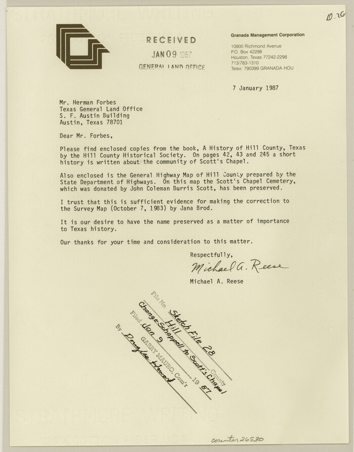
Hill County Sketch file 28
1987
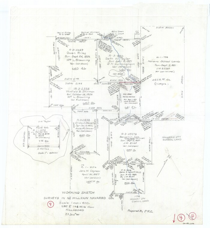
Hill County Working Sketch 4
1982
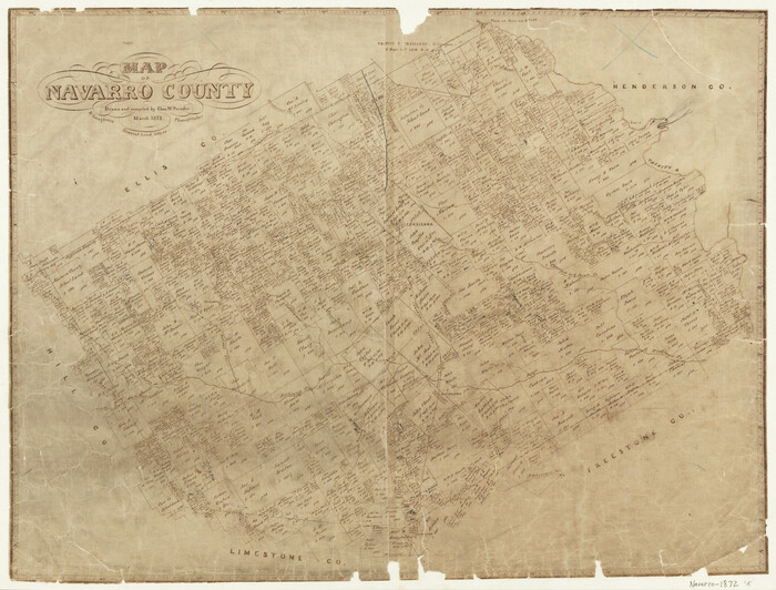
Map of Navarro County
1872

Map of Navarro County
1872

Map of Navarro County
1858

Map of Navarro County, Texas
1871

Map of the City of Barry, John McGowan & J.B. & A. Adams Surveys, Navarro County, Texas
1958

Map of the City of Corsicana (Navarro County) Texas
1963
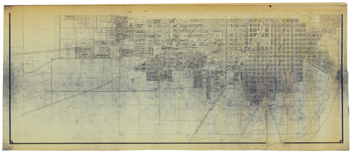
Map of the City of Corsicana (Navarro County) Texas
1963
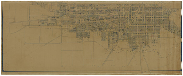
Map of the City of Corsicana (Navarro County) Texas
1963

Ellis County Sketch File 19
1863
-
Size
12.4 x 7.8 inches
-
Map/Doc
21866
-
Creation Date
1863

English Field Notes of the Spanish Archives - Books SAS, DB4, GWS, JWB, and JWB3
1835
-
Map/Doc
96551
-
Creation Date
1835

English Field Notes of the Spanish Archives - Books TJG, DB, A, A2, B, B2, WB, and WR
1835
-
Map/Doc
96553
-
Creation Date
1835

Freestone County Working Sketch 22
1981
-
Size
35.5 x 32.3 inches
-
Map/Doc
69264
-
Creation Date
1981

General Highway Map, Navarro County, Texas
1939
-
Size
24.7 x 18.4 inches
-
Map/Doc
79206
-
Creation Date
1939

General Highway Map, Navarro County, Texas
1939
-
Size
24.6 x 18.5 inches
-
Map/Doc
79207
-
Creation Date
1939

General Highway Map, Navarro County, Texas
1961
-
Size
19.3 x 25.0 inches
-
Map/Doc
79610
-
Creation Date
1961

General Highway Map. Detail of Cities and Towns in Navarro County, Texas
1961
-
Size
19.3 x 25.0 inches
-
Map/Doc
79611
-
Creation Date
1961

Henderson County Rolled Sketch 11
1915
-
Size
29.4 x 42.5 inches
-
Map/Doc
75946
-
Creation Date
1915

Henderson County Rolled Sketch 11
1915
-
Size
29.5 x 42.6 inches
-
Map/Doc
75947
-
Creation Date
1915

Henderson County Rolled Sketch 11
1915
-
Size
29.1 x 42.4 inches
-
Map/Doc
75948
-
Creation Date
1915

Henderson County Rolled Sketch 11
1915
-
Size
29.4 x 42.2 inches
-
Map/Doc
75949
-
Creation Date
1915

Henderson County Rolled Sketch 11
1915
-
Size
29.7 x 42.5 inches
-
Map/Doc
75951
-
Creation Date
1915

Henderson County Rolled Sketch 11
1915
-
Size
29.3 x 42.6 inches
-
Map/Doc
75952
-
Creation Date
1915

Henderson County Rolled Sketch 11
1915
-
Size
29.3 x 42.6 inches
-
Map/Doc
75953
-
Creation Date
1915

Henderson County Rolled Sketch 11
1915
-
Size
27.2 x 40.3 inches
-
Map/Doc
75954
-
Creation Date
1915

Henderson County Rolled Sketch 11
1915
-
Size
29.2 x 41.6 inches
-
Map/Doc
76147
-
Creation Date
1915

Henderson County Rolled Sketch 11
1915
-
Size
28.9 x 42.6 inches
-
Map/Doc
76148
-
Creation Date
1915

Henderson County Rolled Sketch 11
1915
-
Size
29.2 x 42.9 inches
-
Map/Doc
76149
-
Creation Date
1915

Henderson County Rolled Sketch 11
1915
-
Size
29.1 x 42.2 inches
-
Map/Doc
76150
-
Creation Date
1915

Hill County Sketch file 28
1987
-
Size
11.3 x 8.9 inches
-
Map/Doc
26530
-
Creation Date
1987

Hill County Working Sketch 4
1982
-
Size
25.3 x 23.3 inches
-
Map/Doc
66190
-
Creation Date
1982

Map of Navarro County
1872
-
Size
19.4 x 25.5 inches
-
Map/Doc
3910
-
Creation Date
1872

Map of Navarro County
1872
-
Size
17.6 x 22.6 inches
-
Map/Doc
3911
-
Creation Date
1872

Map of Navarro County
1858
-
Size
19.3 x 25.8 inches
-
Map/Doc
3912
-
Creation Date
1858

Map of Navarro County, Texas
1871
-
Size
23.5 x 28.7 inches
-
Map/Doc
662
-
Creation Date
1871

Map of the City of Barry, John McGowan & J.B. & A. Adams Surveys, Navarro County, Texas
1958
-
Size
28.4 x 25.4 inches
-
Map/Doc
94015
-
Creation Date
1958

Map of the City of Corsicana (Navarro County) Texas
1963
-
Size
43.2 x 92.3 inches
-
Map/Doc
93673
-
Creation Date
1963

Map of the City of Corsicana (Navarro County) Texas
1963
-
Size
40.1 x 91.8 inches
-
Map/Doc
93674
-
Creation Date
1963

Map of the City of Corsicana (Navarro County) Texas
1963
-
Size
36.7 x 87.5 inches
-
Map/Doc
93675
-
Creation Date
1963