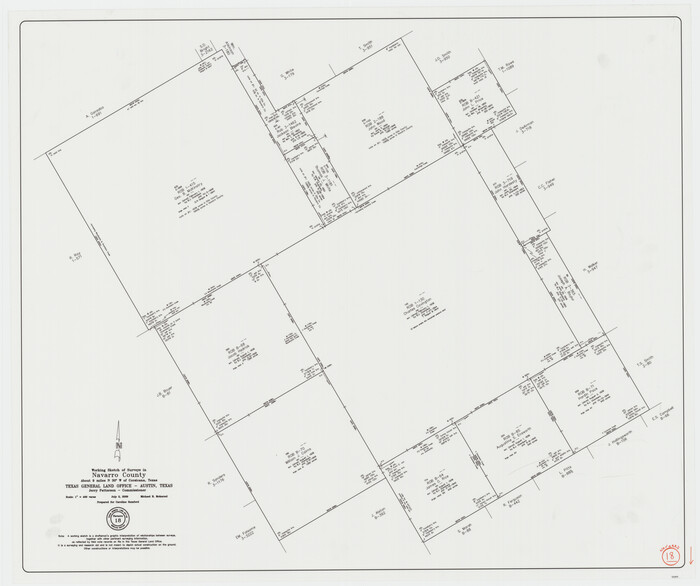
Navarro County Working Sketch 18
2009

Navarro County Working Sketch 17
2008

Navarro County Working Sketch 16
1993
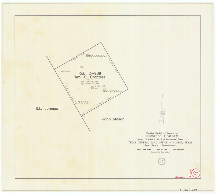
Navarro County Working Sketch 15
1993
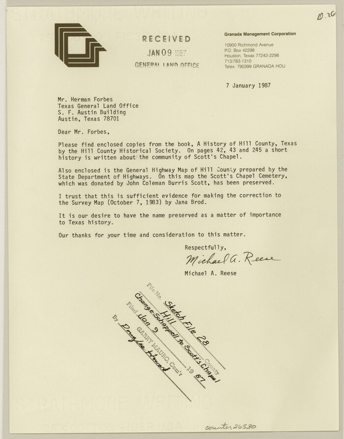
Hill County Sketch file 28
1987
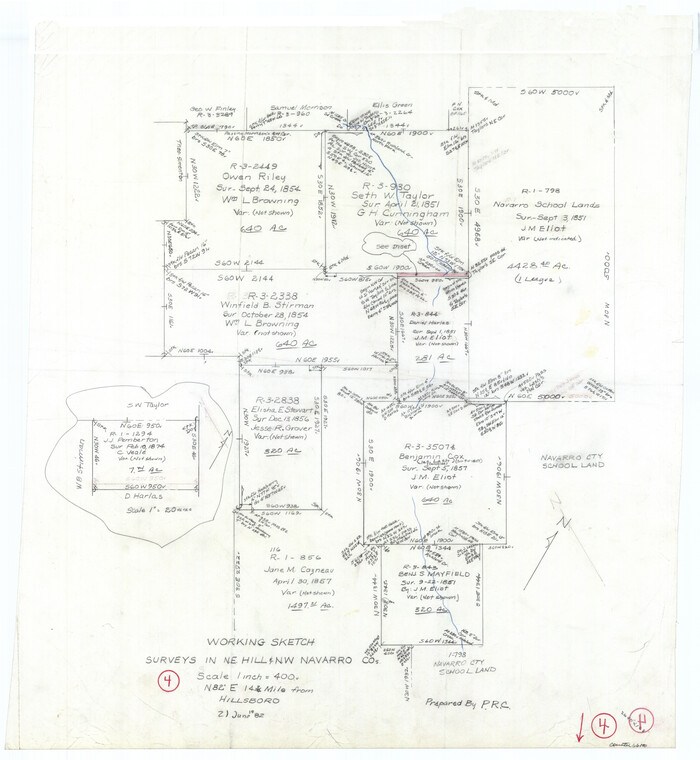
Hill County Working Sketch 4
1982
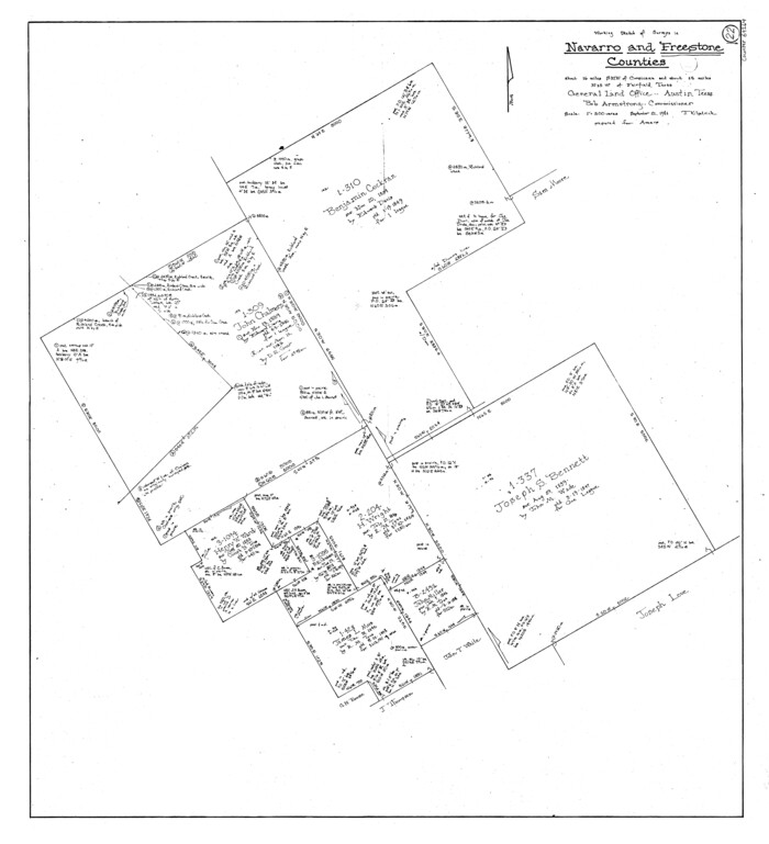
Freestone County Working Sketch 22
1981

Navarro County Working Sketch 14
1981
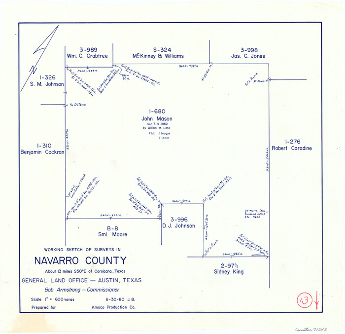
Navarro County Working Sketch 13
1980
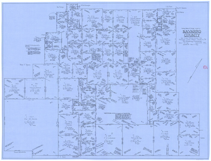
Navarro County Working Sketch 12
1979

Navarro County Working Sketch 11
1978
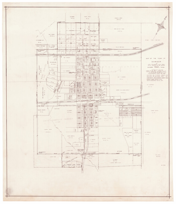
Map of the Town of Dawson in John Fullerton, G. W. Rose, David Onstott and Wm. Walker Surveys
1975

Navarro County Sketch File 20
1967

Map of the City of Corsicana (Navarro County) Texas
1963
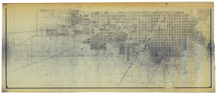
Map of the City of Corsicana (Navarro County) Texas
1963
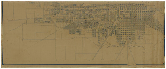
Map of the City of Corsicana (Navarro County) Texas
1963

General Highway Map, Navarro County, Texas
1961

General Highway Map. Detail of Cities and Towns in Navarro County, Texas
1961
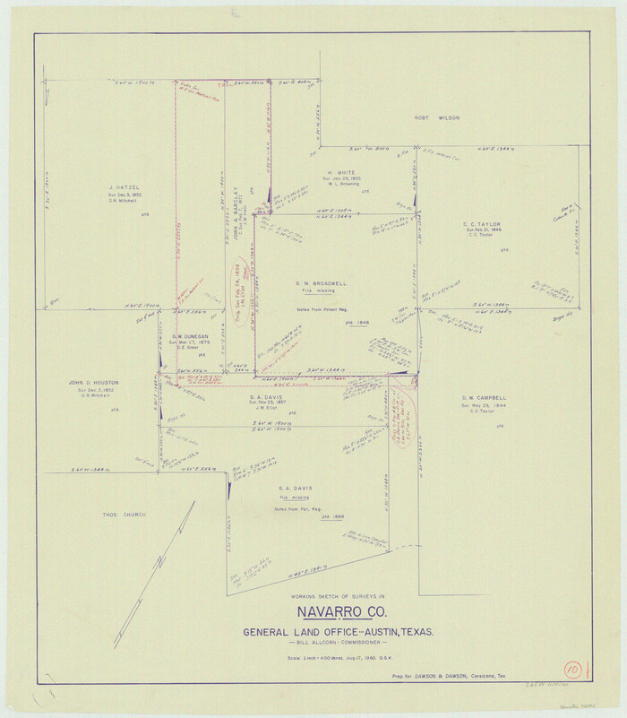
Navarro County Working Sketch 10
1960

Map of the City of Kerens (Navarro County) Texas
1958

Map of the City of Barry, John McGowan & J.B. & A. Adams Surveys, Navarro County, Texas
1958
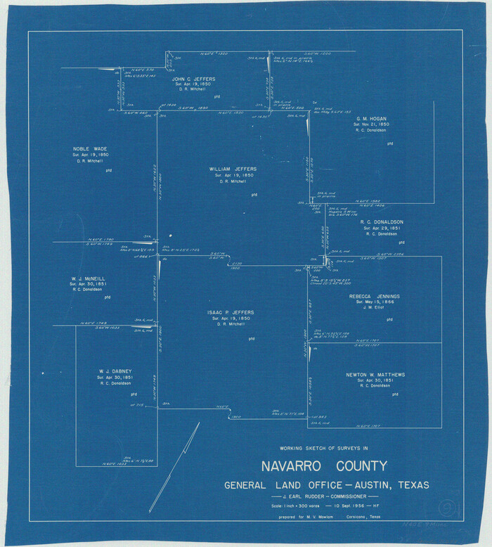
Navarro County Working Sketch 9
1956

Navarro County Working Sketch 8
1955
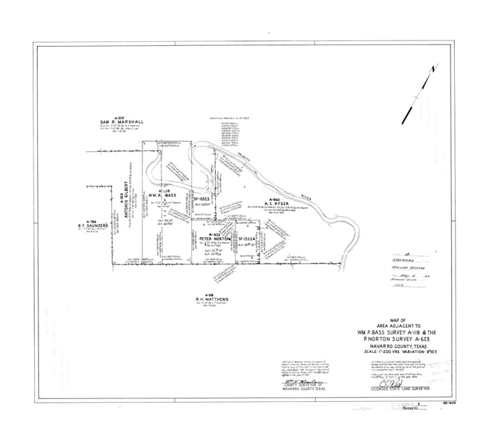
Navarro County Rolled Sketch 4
1953
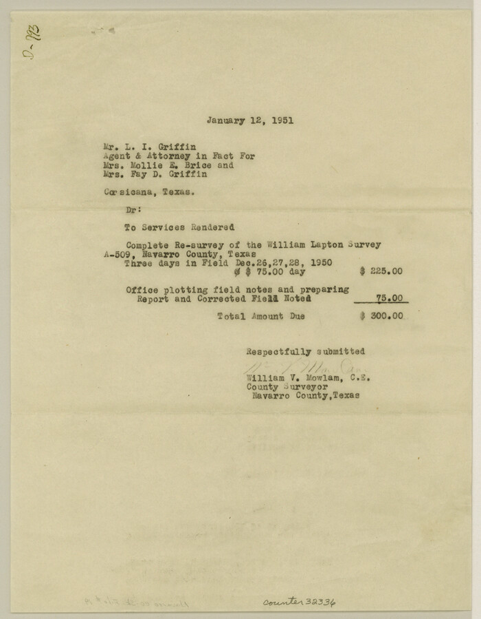
Navarro County Sketch File 19
1951

Trinity River, Map of J. B. Bradley's Levee in Valley of Cummins Creek about 2 1/2 Miles South of Rice Showing Proposed Change of Location
1950

Navarro County Working Sketch 7
1950

Navarro County Working Sketch 6
1950
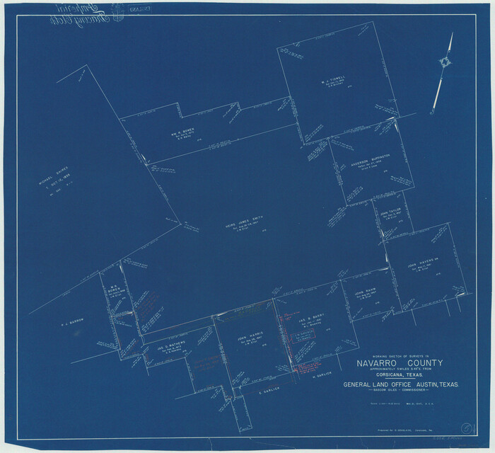
Navarro County Working Sketch 5
1947
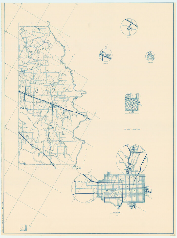
General Highway Map, Navarro County, Texas
1939

Navarro County Working Sketch 18
2009
-
Size
31.9 x 38.0 inches
-
Map/Doc
89044
-
Creation Date
2009

Navarro County Working Sketch 17
2008
-
Size
35.3 x 36.1 inches
-
Map/Doc
88812
-
Creation Date
2008

Navarro County Working Sketch 16
1993
-
Size
15.8 x 17.7 inches
-
Map/Doc
71246
-
Creation Date
1993

Navarro County Working Sketch 15
1993
-
Size
16.1 x 17.8 inches
-
Map/Doc
71245
-
Creation Date
1993

Hill County Sketch file 28
1987
-
Size
11.3 x 8.9 inches
-
Map/Doc
26530
-
Creation Date
1987

Hill County Working Sketch 4
1982
-
Size
25.3 x 23.3 inches
-
Map/Doc
66190
-
Creation Date
1982

Freestone County Working Sketch 22
1981
-
Size
35.5 x 32.3 inches
-
Map/Doc
69264
-
Creation Date
1981

Navarro County Working Sketch 14
1981
-
Size
36.8 x 33.1 inches
-
Map/Doc
71244
-
Creation Date
1981

Navarro County Working Sketch 13
1980
-
Size
15.6 x 16.1 inches
-
Map/Doc
71243
-
Creation Date
1980

Navarro County Working Sketch 12
1979
-
Size
37.2 x 48.8 inches
-
Map/Doc
71242
-
Creation Date
1979

Navarro County Working Sketch 11
1978
-
Size
53.7 x 44.4 inches
-
Map/Doc
71241
-
Creation Date
1978

Map of the Town of Dawson in John Fullerton, G. W. Rose, David Onstott and Wm. Walker Surveys
1975
-
Size
43.1 x 37.1 inches
-
Map/Doc
93672
-
Creation Date
1975

Navarro County Sketch File 20
1967
-
Size
14.3 x 8.8 inches
-
Map/Doc
32343
-
Creation Date
1967

Map of the City of Corsicana (Navarro County) Texas
1963
-
Size
43.2 x 92.3 inches
-
Map/Doc
93673
-
Creation Date
1963

Map of the City of Corsicana (Navarro County) Texas
1963
-
Size
40.1 x 91.8 inches
-
Map/Doc
93674
-
Creation Date
1963

Map of the City of Corsicana (Navarro County) Texas
1963
-
Size
36.7 x 87.5 inches
-
Map/Doc
93675
-
Creation Date
1963

General Highway Map, Navarro County, Texas
1961
-
Size
19.3 x 25.0 inches
-
Map/Doc
79610
-
Creation Date
1961

General Highway Map. Detail of Cities and Towns in Navarro County, Texas
1961
-
Size
19.3 x 25.0 inches
-
Map/Doc
79611
-
Creation Date
1961

Navarro County Working Sketch 10
1960
-
Size
29.7 x 26.0 inches
-
Map/Doc
71240
-
Creation Date
1960

Map of the City of Kerens (Navarro County) Texas
1958
-
Size
44.2 x 54.9 inches
-
Map/Doc
93670
-
Creation Date
1958

Map of the City of Barry, John McGowan & J.B. & A. Adams Surveys, Navarro County, Texas
1958
-
Size
28.4 x 25.4 inches
-
Map/Doc
94015
-
Creation Date
1958

Navarro County Working Sketch 9
1956
-
Size
22.8 x 20.6 inches
-
Map/Doc
71239
-
Creation Date
1956

Navarro County Working Sketch 8
1955
-
Size
17.9 x 19.2 inches
-
Map/Doc
71238
-
Creation Date
1955

Navarro County Rolled Sketch 4
1953
-
Size
27.1 x 29.8 inches
-
Map/Doc
6839
-
Creation Date
1953

Navarro County Sketch File 19
1951
-
Size
11.4 x 8.8 inches
-
Map/Doc
32336
-
Creation Date
1951

Trinity River, Map of J. B. Bradley's Levee in Valley of Cummins Creek about 2 1/2 Miles South of Rice Showing Proposed Change of Location
1950
-
Size
13.9 x 16.1 inches
-
Map/Doc
65246
-
Creation Date
1950

Navarro County Working Sketch 7
1950
-
Size
28.2 x 23.4 inches
-
Map/Doc
71237
-
Creation Date
1950

Navarro County Working Sketch 6
1950
-
Size
25.3 x 33.7 inches
-
Map/Doc
71236
-
Creation Date
1950

Navarro County Working Sketch 5
1947
-
Size
30.3 x 33.2 inches
-
Map/Doc
71235
-
Creation Date
1947

General Highway Map, Navarro County, Texas
1939
-
Size
24.7 x 18.4 inches
-
Map/Doc
79206
-
Creation Date
1939