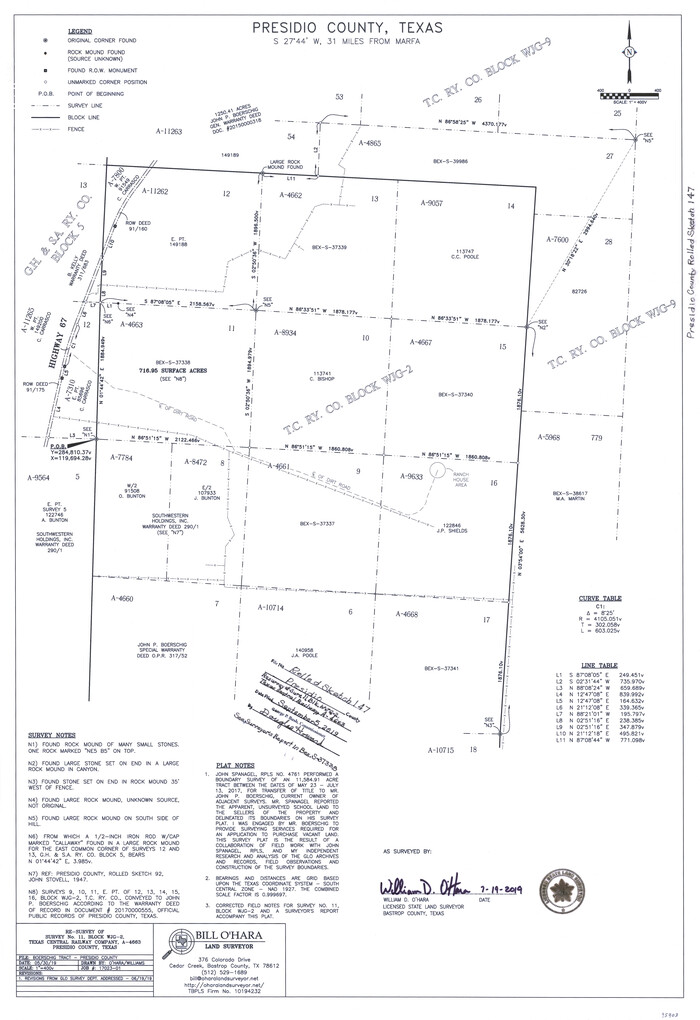
Presidio County Rolled Sketch 147
2019
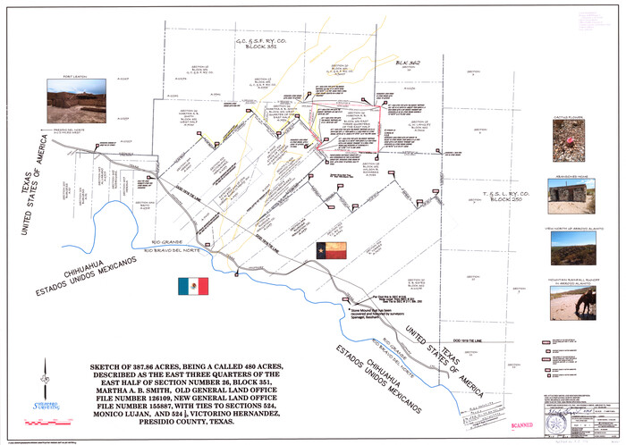
Presidio County Rolled Sketch 146
2018

Presidio County Rolled Sketch 145
2012

Presidio County Rolled Sketch 144
2010

Presidio County Rolled Sketch 144
2010
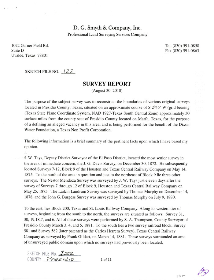
Presidio County Sketch File 122
2010

Brewster County Rolled Sketch 156
2005

Presidio County Rolled Sketch 140
2003

Presidio County Rolled Sketch 139
2002
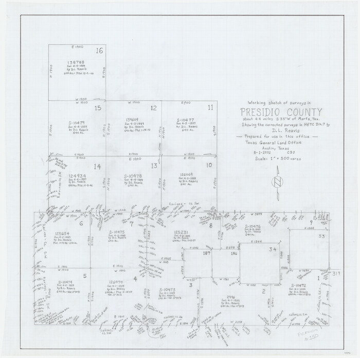
Presidio County Working Sketch 150
2002
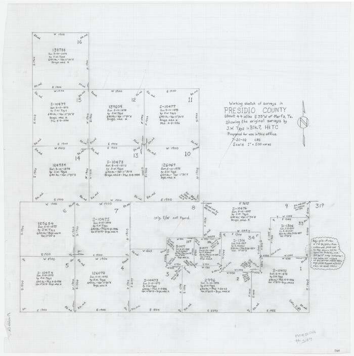
Presidio County Working Sketch 149
2002

Presidio County Rolled Sketch 138
2000
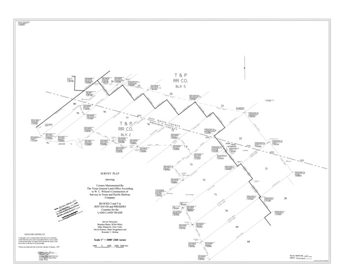
Presidio County Rolled Sketch 137
1999

Presidio County Sketch File 121
1998

Presidio County Sketch File 119
1996
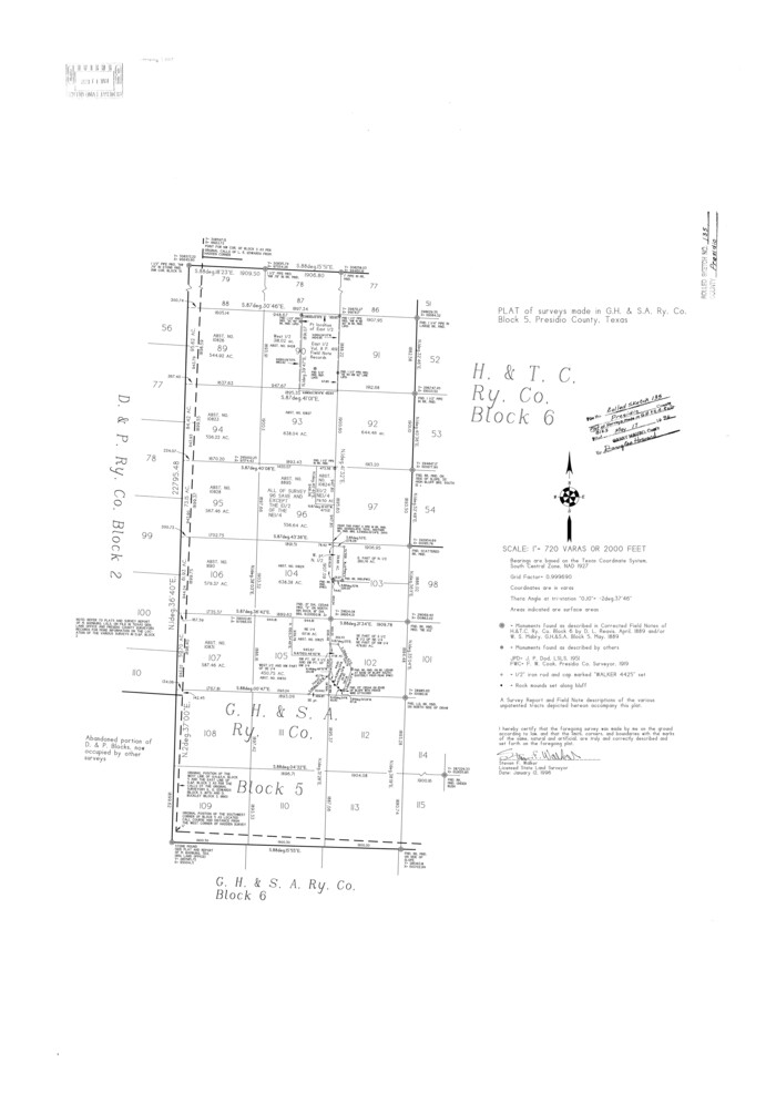
Presidio County Rolled Sketch 135
1996
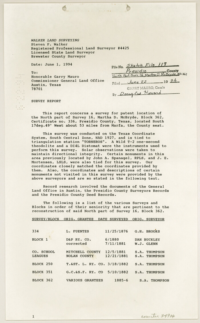
Presidio County Sketch File 117
1994
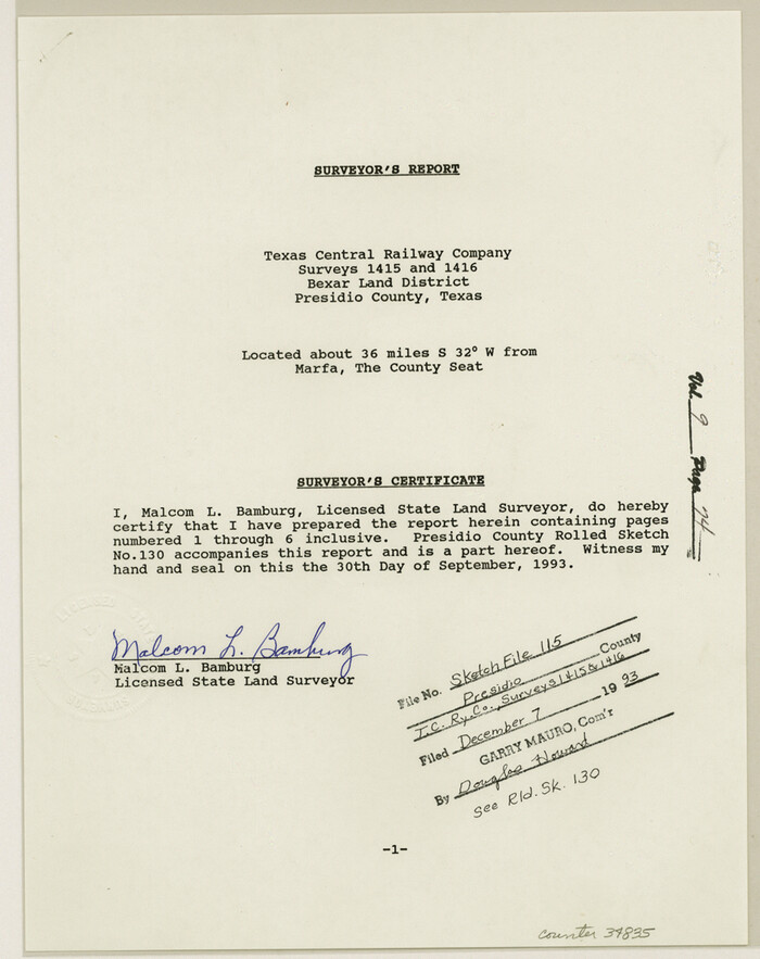
Presidio County Sketch File 115
1993

Presidio County Rolled Sketch 131B
1993

Presidio County Sketch File 116
1993
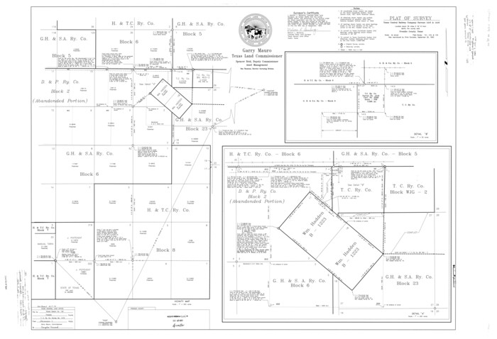
Presidio County Rolled Sketch 130
1993

Presidio County Rolled Sketch 131A
1992

Presidio County Rolled Sketch 131A
1992

Presidio County Rolled Sketch 131A
1991
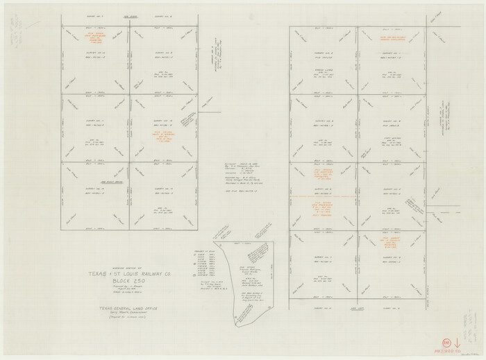
Presidio County Working Sketch 148
1991

Presidio County Working Sketch 144
1990
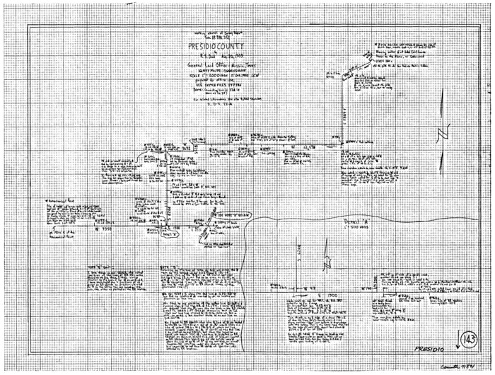
Presidio County Working Sketch 143
1990
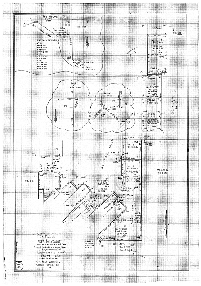
Presidio County Working Sketch 141
1990
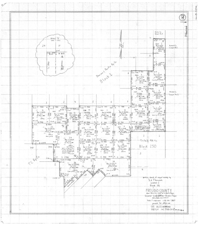
Presidio County Working Sketch 142
1990

Presidio County Sketch File 114
1990

Presidio County Rolled Sketch 147
2019
-
Size
35.2 x 24.1 inches
-
Map/Doc
95703
-
Creation Date
2019

Presidio County Rolled Sketch 146
2018
-
Size
29.8 x 41.8 inches
-
Map/Doc
95821
-
Creation Date
2018

Presidio County Rolled Sketch 145
2012
-
Size
36.6 x 24.5 inches
-
Map/Doc
93380
-
Creation Date
2012

Presidio County Rolled Sketch 144
2010
-
Size
36.0 x 24.0 inches
-
Map/Doc
89602
-
Creation Date
2010

Presidio County Rolled Sketch 144
2010
-
Size
36.0 x 24.0 inches
-
Map/Doc
89603
-
Creation Date
2010

Presidio County Sketch File 122
2010
-
Size
11.0 x 8.5 inches
-
Map/Doc
89604
-
Creation Date
2010

Brewster County Rolled Sketch 156
2005
-
Map/Doc
85390
-
Creation Date
2005

Presidio County Rolled Sketch 140
2003
-
Size
44.4 x 34.7 inches
-
Map/Doc
78654
-
Creation Date
2003

Presidio County Rolled Sketch 139
2002
-
Size
24.5 x 27.5 inches
-
Map/Doc
78647
-
Creation Date
2002

Presidio County Working Sketch 150
2002
-
Size
24.0 x 23.5 inches
-
Map/Doc
93490
-
Creation Date
2002

Presidio County Working Sketch 149
2002
-
Size
24.0 x 24.0 inches
-
Map/Doc
93489
-
Creation Date
2002

Presidio County Rolled Sketch 138
2000
-
Size
36.7 x 25.1 inches
-
Map/Doc
7405
-
Creation Date
2000

Presidio County Rolled Sketch 137
1999
-
Size
38.7 x 47.9 inches
-
Map/Doc
8352
-
Creation Date
1999

Presidio County Sketch File 121
1998
-
Size
11.0 x 8.5 inches
-
Map/Doc
82620
-
Creation Date
1998

Presidio County Sketch File 119
1996
-
Size
14.3 x 9.0 inches
-
Map/Doc
34927
-
Creation Date
1996

Presidio County Rolled Sketch 135
1996
-
Size
38.4 x 26.8 inches
-
Map/Doc
7402
-
Creation Date
1996

Presidio County Sketch File 117
1994
-
Size
14.3 x 8.8 inches
-
Map/Doc
34906
-
Creation Date
1994

Presidio County Sketch File 115
1993
-
Size
11.3 x 8.9 inches
-
Map/Doc
34835
-
Creation Date
1993

Presidio County Rolled Sketch 131B
1993
-
Size
33.4 x 46.7 inches
-
Map/Doc
9803
-
Creation Date
1993

Presidio County Sketch File 116
1993
-
Size
11.4 x 8.7 inches
-
Map/Doc
34842
-
Creation Date
1993

Presidio County Rolled Sketch 130
1993
-
Size
33.6 x 49.1 inches
-
Map/Doc
9800
-
Creation Date
1993

Presidio County Rolled Sketch 131A
1992
-
Size
36.0 x 45.5 inches
-
Map/Doc
9801
-
Creation Date
1992

Presidio County Rolled Sketch 131A
1992
-
Size
36.5 x 46.7 inches
-
Map/Doc
9802
-
Creation Date
1992

Presidio County Rolled Sketch 131A
1991
-
Size
37.6 x 49.7 inches
-
Map/Doc
10713
-
Creation Date
1991

Presidio County Working Sketch 148
1991
-
Size
31.7 x 42.7 inches
-
Map/Doc
71826
-
Creation Date
1991

Presidio County Working Sketch 144
1990
-
Size
20.4 x 26.6 inches
-
Map/Doc
71822
-
Creation Date
1990

Presidio County Working Sketch 143
1990
-
Size
15.9 x 20.9 inches
-
Map/Doc
71821
-
Creation Date
1990

Presidio County Working Sketch 141
1990
-
Size
27.3 x 19.2 inches
-
Map/Doc
71819
-
Creation Date
1990

Presidio County Working Sketch 142
1990
-
Size
24.5 x 21.7 inches
-
Map/Doc
71820
-
Creation Date
1990

Presidio County Sketch File 114
1990
-
Size
14.2 x 8.7 inches
-
Map/Doc
34832
-
Creation Date
1990