Amistad International Reservoir on Rio Grande Key Sheet


Print $20.00
- Digital $50.00
Amistad International Reservoir on Rio Grande Key Sheet
1960
Size: 13.0 x 32.4 inches
73345
Brewster County Rolled Sketch 146A


Print $40.00
- Digital $50.00
Brewster County Rolled Sketch 146A
Size: 62.4 x 45.1 inches
8527
Brewster County Rolled Sketch 146B
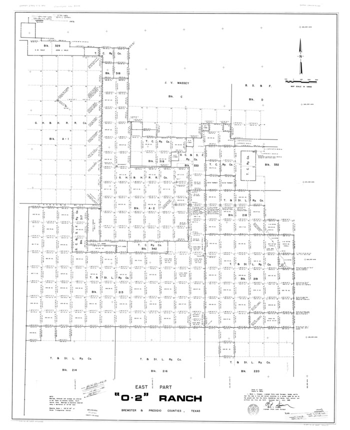

Print $40.00
- Digital $50.00
Brewster County Rolled Sketch 146B
1985
Size: 55.5 x 45.2 inches
8528
Brewster County Rolled Sketch 156


Print $156.00
- Digital $50.00
Brewster County Rolled Sketch 156
2005
85390
Brewster County Rolled Sketch 60


Print $40.00
- Digital $50.00
Brewster County Rolled Sketch 60
Size: 37.1 x 68.9 inches
8485
Brewster County Rolled Sketch 62
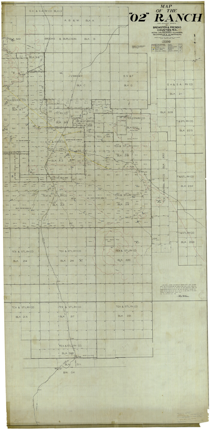

Print $40.00
- Digital $50.00
Brewster County Rolled Sketch 62
1939
Size: 89.5 x 44.0 inches
8487
Brewster County Rolled Sketch 63


Print $40.00
- Digital $50.00
Brewster County Rolled Sketch 63
1939
Size: 77.1 x 43.6 inches
8488
Brewster County Rolled Sketch 98
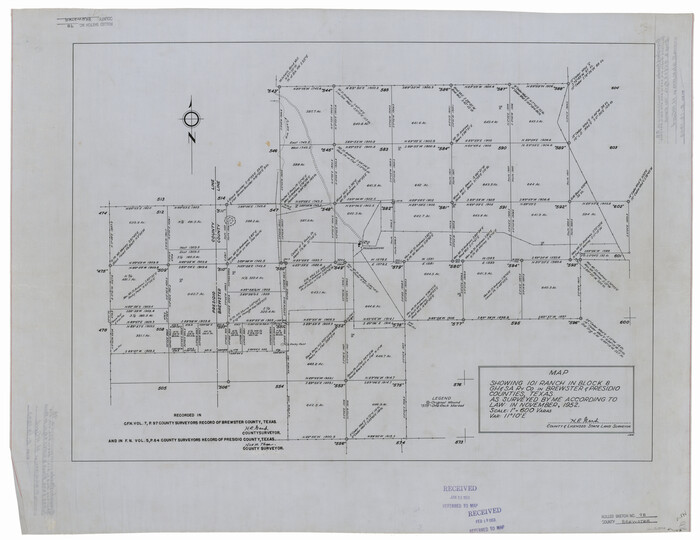

Print $20.00
- Digital $50.00
Brewster County Rolled Sketch 98
1952
Size: 29.3 x 38.0 inches
8508
Brewster County Sketch File 22


Print $15.00
- Digital $50.00
Brewster County Sketch File 22
Size: 15.7 x 10.8 inches
15820
Brewster County Sketch File A


Print $40.00
- Digital $50.00
Brewster County Sketch File A
1910
Size: 18.6 x 19.9 inches
10974
Brewster County Sketch File A-1


Print $8.00
- Digital $50.00
Brewster County Sketch File A-1
1911
Size: 14.2 x 8.7 inches
15712
Brewster County Sketch File N-17


Print $80.00
- Digital $50.00
Brewster County Sketch File N-17
1939
Size: 8.9 x 14.4 inches
15651
Brewster County Sketch File N-28


Print $40.00
- Digital $50.00
Brewster County Sketch File N-28
Size: 23.4 x 24.3 inches
10973
Brewster County Sketch File N-8
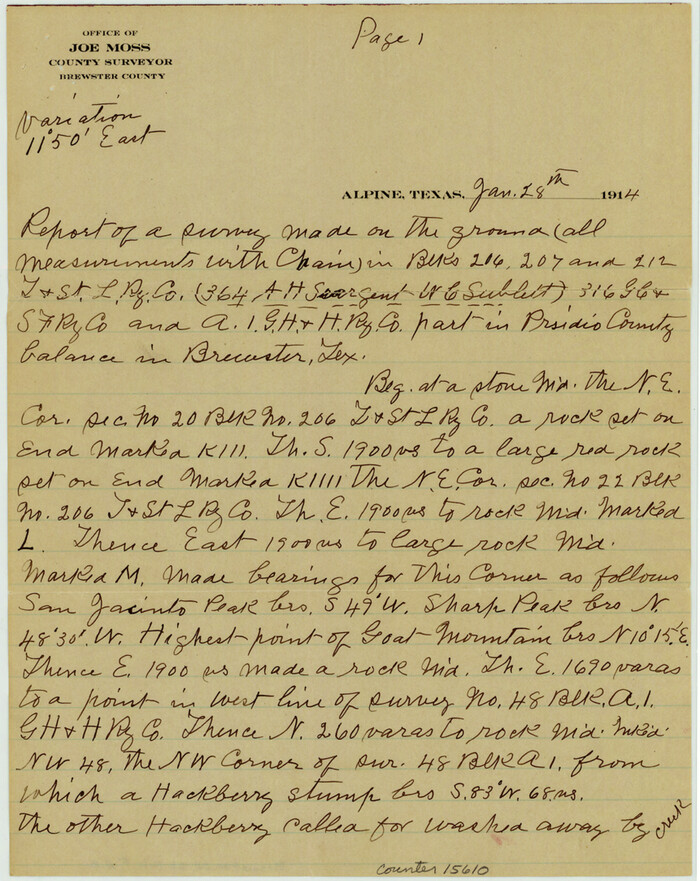

Print $12.00
- Digital $50.00
Brewster County Sketch File N-8
1914
Size: 10.8 x 8.6 inches
15610
Brewster County Sketch File N-9


Print $40.00
- Digital $50.00
Brewster County Sketch File N-9
Size: 17.4 x 15.7 inches
10964
Brewster County Sketch File NS-15


Print $40.00
- Digital $50.00
Brewster County Sketch File NS-15
1977
Size: 16.7 x 14.4 inches
16298
Brewster County Sketch File NS-5


Print $22.00
- Digital $50.00
Brewster County Sketch File NS-5
Size: 11.2 x 8.8 inches
15983
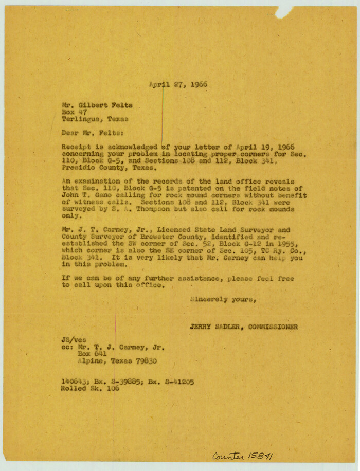
Brewster County Sketch File S-27

Print $10.00
- Digital $50.00
Brewster County Sketch File S-27
1966
Size: 11.4 x 8.7 inches
15841
Brewster County Working Sketch 15a


Print $40.00
- Digital $50.00
Brewster County Working Sketch 15a
1953
Size: 22.6 x 49.1 inches
67549
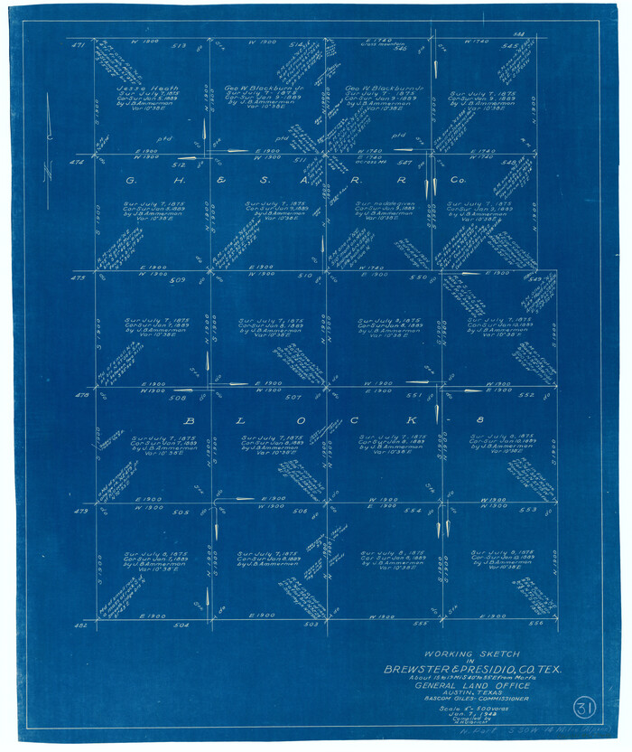
Brewster County Working Sketch 31

Print $20.00
- Digital $50.00
Brewster County Working Sketch 31
1943
Size: 24.7 x 20.8 inches
67565
Brewster County Working Sketch 32


Print $20.00
- Digital $50.00
Brewster County Working Sketch 32
1943
Size: 28.3 x 28.3 inches
67566
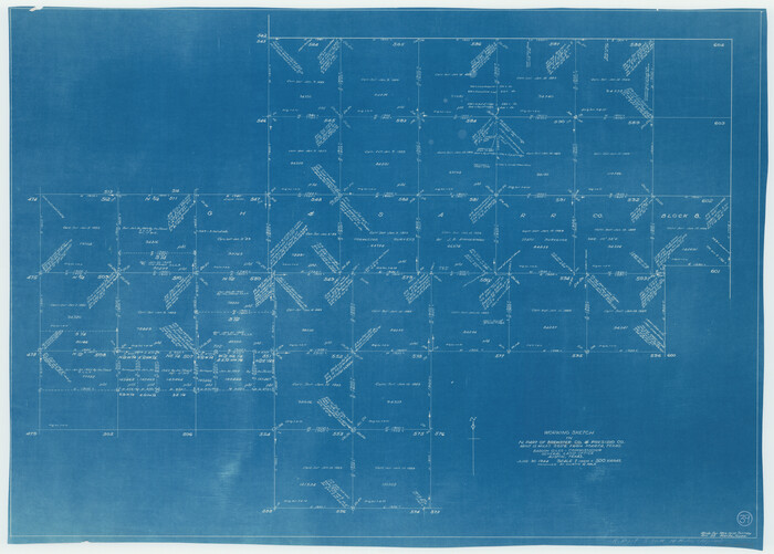
Brewster County Working Sketch 39

Print $20.00
- Digital $50.00
Brewster County Working Sketch 39
1944
Size: 26.8 x 37.5 inches
67573
Brewster County Working Sketch 41


Print $20.00
- Digital $50.00
Brewster County Working Sketch 41
1945
Size: 30.3 x 38.4 inches
67575
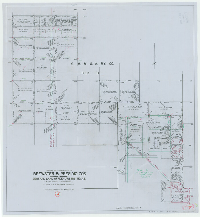
Brewster County Working Sketch 64

Print $20.00
- Digital $50.00
Brewster County Working Sketch 64
1957
Size: 31.8 x 29.3 inches
67665
Corrected Map of T&P Ry. surveys in counties Pecos-Presidio-El Paso


Print $20.00
- Digital $50.00
Corrected Map of T&P Ry. surveys in counties Pecos-Presidio-El Paso
1884
Size: 27.9 x 39.0 inches
2301
Culberson County Sketch File 3b
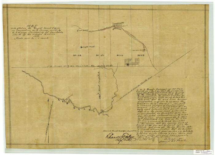

Print $20.00
- Digital $50.00
Culberson County Sketch File 3b
1880
Size: 20.3 x 28.0 inches
11262
Culberson County Sketch File 5a
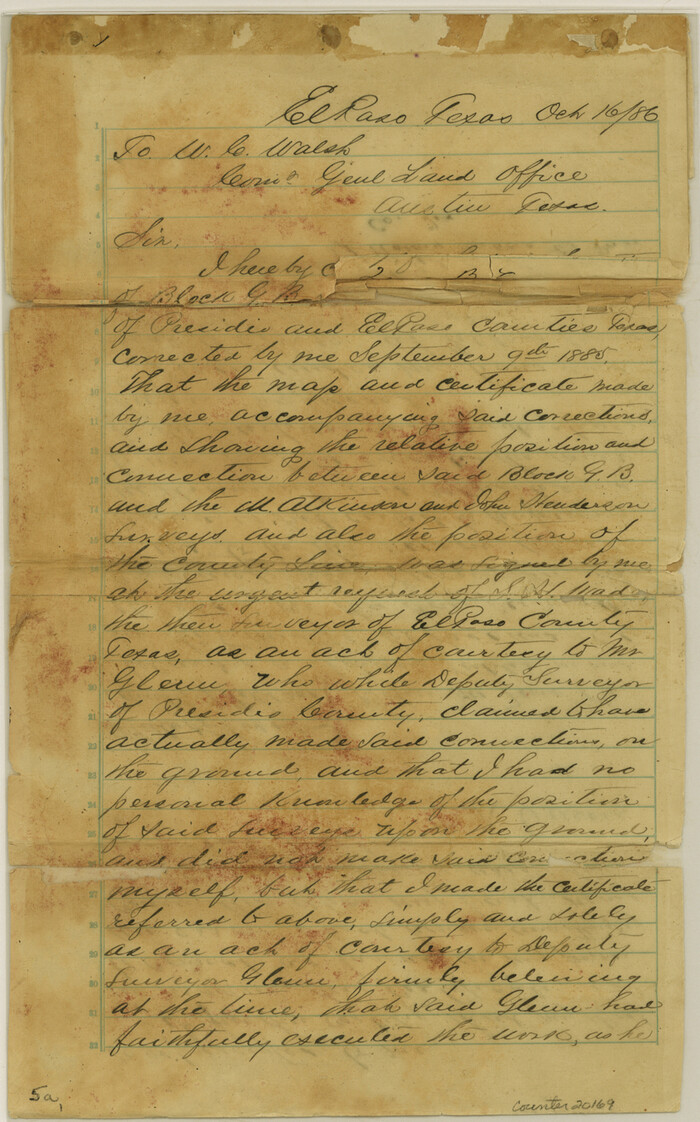

Print $44.00
- Digital $50.00
Culberson County Sketch File 5a
Size: 14.2 x 8.8 inches
20169
El Paso County Rolled Sketch 2
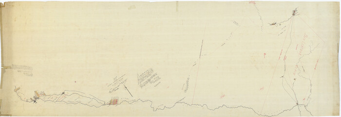

Print $40.00
- Digital $50.00
El Paso County Rolled Sketch 2
Size: 42.8 x 124.4 inches
76433
Amistad International Reservoir on Rio Grande Key Sheet


Print $20.00
- Digital $50.00
Amistad International Reservoir on Rio Grande Key Sheet
1960
-
Size
13.0 x 32.4 inches
-
Map/Doc
73345
-
Creation Date
1960
Brewster County Rolled Sketch 146A


Print $40.00
- Digital $50.00
Brewster County Rolled Sketch 146A
-
Size
62.4 x 45.1 inches
-
Map/Doc
8527
Brewster County Rolled Sketch 146B


Print $40.00
- Digital $50.00
Brewster County Rolled Sketch 146B
1985
-
Size
55.5 x 45.2 inches
-
Map/Doc
8528
-
Creation Date
1985
Brewster County Rolled Sketch 156


Print $156.00
- Digital $50.00
Brewster County Rolled Sketch 156
2005
-
Map/Doc
85390
-
Creation Date
2005
Brewster County Rolled Sketch 60


Print $40.00
- Digital $50.00
Brewster County Rolled Sketch 60
-
Size
37.1 x 68.9 inches
-
Map/Doc
8485
Brewster County Rolled Sketch 62


Print $40.00
- Digital $50.00
Brewster County Rolled Sketch 62
1939
-
Size
89.5 x 44.0 inches
-
Map/Doc
8487
-
Creation Date
1939
Brewster County Rolled Sketch 63


Print $40.00
- Digital $50.00
Brewster County Rolled Sketch 63
1939
-
Size
77.1 x 43.6 inches
-
Map/Doc
8488
-
Creation Date
1939
Brewster County Rolled Sketch 98


Print $20.00
- Digital $50.00
Brewster County Rolled Sketch 98
1952
-
Size
29.3 x 38.0 inches
-
Map/Doc
8508
-
Creation Date
1952
Brewster County Sketch File 22


Print $15.00
- Digital $50.00
Brewster County Sketch File 22
-
Size
15.7 x 10.8 inches
-
Map/Doc
15820
Brewster County Sketch File A


Print $40.00
- Digital $50.00
Brewster County Sketch File A
1910
-
Size
18.6 x 19.9 inches
-
Map/Doc
10974
-
Creation Date
1910
Brewster County Sketch File A-1


Print $8.00
- Digital $50.00
Brewster County Sketch File A-1
1911
-
Size
14.2 x 8.7 inches
-
Map/Doc
15712
-
Creation Date
1911
Brewster County Sketch File N-17


Print $80.00
- Digital $50.00
Brewster County Sketch File N-17
1939
-
Size
8.9 x 14.4 inches
-
Map/Doc
15651
-
Creation Date
1939
Brewster County Sketch File N-28


Print $40.00
- Digital $50.00
Brewster County Sketch File N-28
-
Size
23.4 x 24.3 inches
-
Map/Doc
10973
Brewster County Sketch File N-8


Print $12.00
- Digital $50.00
Brewster County Sketch File N-8
1914
-
Size
10.8 x 8.6 inches
-
Map/Doc
15610
-
Creation Date
1914
Brewster County Sketch File N-9


Print $40.00
- Digital $50.00
Brewster County Sketch File N-9
-
Size
17.4 x 15.7 inches
-
Map/Doc
10964
Brewster County Sketch File NS-15


Print $40.00
- Digital $50.00
Brewster County Sketch File NS-15
1977
-
Size
16.7 x 14.4 inches
-
Map/Doc
16298
-
Creation Date
1977
Brewster County Sketch File NS-5


Print $22.00
- Digital $50.00
Brewster County Sketch File NS-5
-
Size
11.2 x 8.8 inches
-
Map/Doc
15983
Brewster County Sketch File S-27


Print $10.00
- Digital $50.00
Brewster County Sketch File S-27
1966
-
Size
11.4 x 8.7 inches
-
Map/Doc
15841
-
Creation Date
1966
Brewster County Working Sketch 15a


Print $40.00
- Digital $50.00
Brewster County Working Sketch 15a
1953
-
Size
22.6 x 49.1 inches
-
Map/Doc
67549
-
Creation Date
1953
Brewster County Working Sketch 31


Print $20.00
- Digital $50.00
Brewster County Working Sketch 31
1943
-
Size
24.7 x 20.8 inches
-
Map/Doc
67565
-
Creation Date
1943
Brewster County Working Sketch 32


Print $20.00
- Digital $50.00
Brewster County Working Sketch 32
1943
-
Size
28.3 x 28.3 inches
-
Map/Doc
67566
-
Creation Date
1943
Brewster County Working Sketch 39


Print $20.00
- Digital $50.00
Brewster County Working Sketch 39
1944
-
Size
26.8 x 37.5 inches
-
Map/Doc
67573
-
Creation Date
1944
Brewster County Working Sketch 41


Print $20.00
- Digital $50.00
Brewster County Working Sketch 41
1945
-
Size
30.3 x 38.4 inches
-
Map/Doc
67575
-
Creation Date
1945
Brewster County Working Sketch 64


Print $20.00
- Digital $50.00
Brewster County Working Sketch 64
1957
-
Size
31.8 x 29.3 inches
-
Map/Doc
67665
-
Creation Date
1957
Cienega Ranch
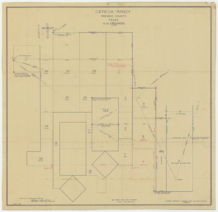

Print $20.00
- Digital $50.00
Cienega Ranch
1947
-
Size
17.5 x 17.1 inches
-
Map/Doc
92287
-
Creation Date
1947
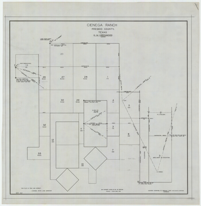
Cienega Ranch

Print $20.00
- Digital $50.00
Cienega Ranch
1947
-
Size
27.6 x 28.3 inches
-
Map/Doc
92323
-
Creation Date
1947
Corrected Map of T&P Ry. surveys in counties Pecos-Presidio-El Paso


Print $20.00
- Digital $50.00
Corrected Map of T&P Ry. surveys in counties Pecos-Presidio-El Paso
1884
-
Size
27.9 x 39.0 inches
-
Map/Doc
2301
-
Creation Date
1884
Culberson County Sketch File 3b


Print $20.00
- Digital $50.00
Culberson County Sketch File 3b
1880
-
Size
20.3 x 28.0 inches
-
Map/Doc
11262
-
Creation Date
1880
Culberson County Sketch File 5a


Print $44.00
- Digital $50.00
Culberson County Sketch File 5a
-
Size
14.2 x 8.8 inches
-
Map/Doc
20169
El Paso County Rolled Sketch 2


Print $40.00
- Digital $50.00
El Paso County Rolled Sketch 2
-
Size
42.8 x 124.4 inches
-
Map/Doc
76433