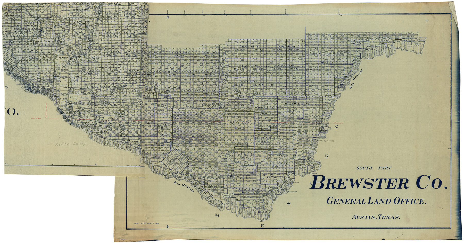
Brewster County Rolled Sketch 60
South Part, Brewster Co. [and part of Presidio County]
-
Map/Doc
8485
-
Collection
General Map Collection
-
Counties
Brewster Presidio
-
Subjects
Surveying Rolled Sketch
-
Height x Width
37.1 x 68.9 inches
94.2 x 175.0 cm
Related maps
Brewster County Rolled Sketch 60

Print $40.00
- Digital $50.00
Brewster County Rolled Sketch 60
Size 36.6 x 50.3 inches
Map/Doc 10692
Brewster County Rolled Sketch 60

Print $40.00
- Digital $50.00
Brewster County Rolled Sketch 60
1942
Size 42.9 x 48.0 inches
Map/Doc 16960
Brewster County Rolled Sketch 60

Print $20.00
- Digital $50.00
Brewster County Rolled Sketch 60
Size 24.8 x 36.5 inches
Map/Doc 61783
Brewster County Rolled Sketch 60

Print $40.00
- Digital $50.00
Brewster County Rolled Sketch 60
Size 53.9 x 28.0 inches
Map/Doc 61784
Brewster County Rolled Sketch 60

Print $20.00
- Digital $50.00
Brewster County Rolled Sketch 60
Size 25.0 x 37.5 inches
Map/Doc 8484
Brewster County Rolled Sketch 60

Print $40.00
- Digital $50.00
Brewster County Rolled Sketch 60
Size 36.7 x 50.8 inches
Map/Doc 9200
Part of: General Map Collection
Crane County Rolled Sketch 5

Print $20.00
- Digital $50.00
Crane County Rolled Sketch 5
1927
Size 38.4 x 45.7 inches
Map/Doc 8677
Floyd County Boundary File 4a

Print $40.00
- Digital $50.00
Floyd County Boundary File 4a
Size 12.2 x 35.8 inches
Map/Doc 53496
Travis County Sketch File 34

Print $26.00
- Digital $50.00
Travis County Sketch File 34
1888
Size 26.8 x 27.9 inches
Map/Doc 12461
Fractional Township No. 9 South Range No. 24 East of the Indian Meridian, Indian Territory

Print $20.00
- Digital $50.00
Fractional Township No. 9 South Range No. 24 East of the Indian Meridian, Indian Territory
1898
Size 19.2 x 24.3 inches
Map/Doc 75241
Goliad County Working Sketch 2

Print $20.00
- Digital $50.00
Goliad County Working Sketch 2
1916
Size 15.5 x 21.6 inches
Map/Doc 63192
Jackson County

Print $20.00
- Digital $50.00
Jackson County
1920
Size 46.9 x 40.1 inches
Map/Doc 95541
Val Verde County Sketch File 15a

Print $40.00
- Digital $50.00
Val Verde County Sketch File 15a
1885
Size 15.8 x 12.7 inches
Map/Doc 39217
Kendall County Sketch File 1

Print $4.00
- Digital $50.00
Kendall County Sketch File 1
Size 9.6 x 8.3 inches
Map/Doc 28671
Map of Augustine Cty.

Print $20.00
- Digital $50.00
Map of Augustine Cty.
1839
Size 22.9 x 14.6 inches
Map/Doc 165
Harrison County Working Sketch 11

Print $20.00
- Digital $50.00
Harrison County Working Sketch 11
1961
Size 27.8 x 28.0 inches
Map/Doc 66031
Leon County Rolled Sketch 35

Print $20.00
- Digital $50.00
Leon County Rolled Sketch 35
2018
Size 30.7 x 21.3 inches
Map/Doc 95288
Kendall County Sketch File 5

Print $4.00
- Digital $50.00
Kendall County Sketch File 5
1854
Size 8.7 x 7.6 inches
Map/Doc 28686
You may also like
Schleicher County Sketch File 6

Print $4.00
- Digital $50.00
Schleicher County Sketch File 6
Size 8.1 x 8.5 inches
Map/Doc 36472
Controlled Mosaic by Jack Amman Photogrammetric Engineers, Inc - Sheet 55

Print $20.00
- Digital $50.00
Controlled Mosaic by Jack Amman Photogrammetric Engineers, Inc - Sheet 55
1954
Size 20.0 x 24.0 inches
Map/Doc 83514
[G. & M. Block 5]
![91793, [G. & M. Block 5], Twichell Survey Records](https://historictexasmaps.com/wmedia_w700/maps/91793-1.tif.jpg)
Print $20.00
- Digital $50.00
[G. & M. Block 5]
Size 34.9 x 17.2 inches
Map/Doc 91793
El Paso County Boundary File 25

Print $10.00
- Digital $50.00
El Paso County Boundary File 25
Size 13.0 x 8.9 inches
Map/Doc 53226
Trinity River, Balltown Sheet/Pilot Grove Creek

Print $20.00
- Digital $50.00
Trinity River, Balltown Sheet/Pilot Grove Creek
1916
Size 36.9 x 27.5 inches
Map/Doc 65195
Goliad County Sketch File 26a

Print $10.00
- Digital $50.00
Goliad County Sketch File 26a
Size 12.8 x 8.3 inches
Map/Doc 24321
Briscoe County Sketch File G

Print $40.00
- Digital $50.00
Briscoe County Sketch File G
1918
Size 17.7 x 22.4 inches
Map/Doc 11004
Map of Travis County

Print $40.00
- Digital $50.00
Map of Travis County
1894
Size 49.8 x 58.8 inches
Map/Doc 16904
Working Sketch in Archer County

Print $20.00
- Digital $50.00
Working Sketch in Archer County
1924
Size 30.8 x 42.3 inches
Map/Doc 90175
Pecos County Rolled Sketch 44

Print $20.00
- Digital $50.00
Pecos County Rolled Sketch 44
1912
Size 22.9 x 37.6 inches
Map/Doc 7222
Chambers County Working Sketch 7

Print $20.00
- Digital $50.00
Chambers County Working Sketch 7
1939
Size 30.6 x 39.6 inches
Map/Doc 67990
Presidio County Working Sketch 52

Print $20.00
- Digital $50.00
Presidio County Working Sketch 52
1954
Size 46.5 x 27.6 inches
Map/Doc 71729