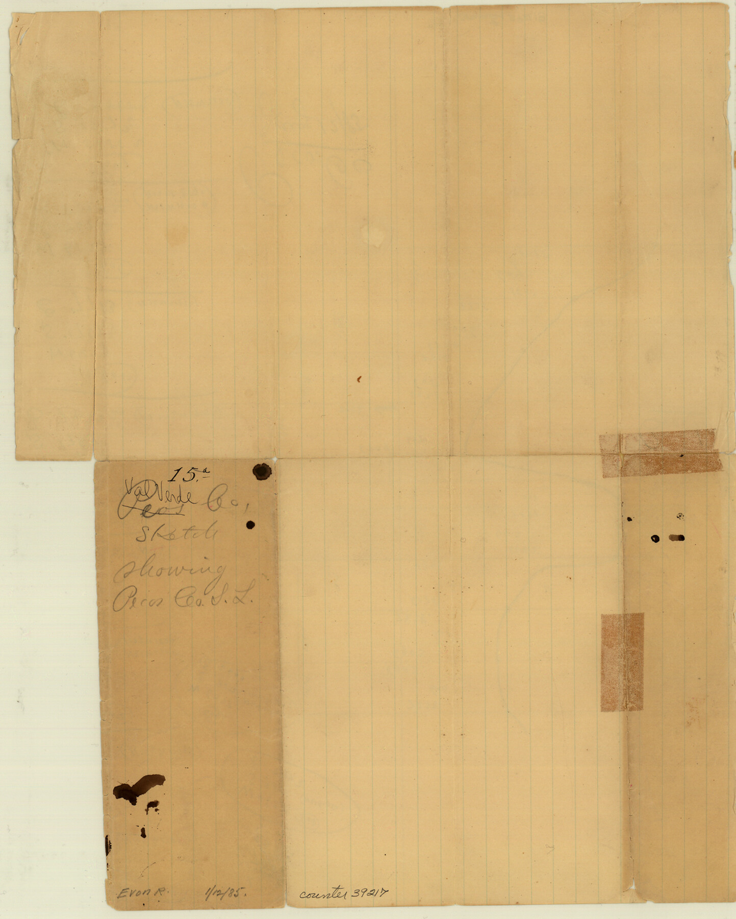
Val Verde County Sketch File 15a
[Sketch showing Pecos County School Land surveys 600-607 on the west bank of the Pecos River]
-
Map/Doc
39217
-
Collection
General Map Collection
-
Object Dates
1/12/1885 (Creation Date)
-
People and Organizations
E. von Rosenberg (Draftsman)
-
Counties
Val Verde
-
Subjects
Surveying Sketch File
-
Height x Width
15.8 x 12.7 inches
40.1 x 32.3 cm
-
Medium
paper, manuscript
Part of: General Map Collection
Crockett County Sketch File 47

Print $6.00
- Digital $50.00
Crockett County Sketch File 47
1882
Size 14.3 x 8.8 inches
Map/Doc 19789

Johnson County Sketch File 22

Print $20.00
- Digital $50.00
Johnson County Sketch File 22
1873
Size 18.8 x 16.2 inches
Map/Doc 11891
[Map of Texas showing Counties, County Seats, Rivers and Location of State Boundary Line Markers]
![60304, [Map of Texas showing Counties, County Seats, Rivers and Location of State Boundary Line Markers], General Map Collection](https://historictexasmaps.com/wmedia_w700/maps/60304.tif.jpg)
Print $20.00
- Digital $50.00
[Map of Texas showing Counties, County Seats, Rivers and Location of State Boundary Line Markers]
1950
Size 30.2 x 32.9 inches
Map/Doc 60304
Wichita County Sketch File 28

Print $22.00
- Digital $50.00
Wichita County Sketch File 28
1929
Size 12.5 x 17.0 inches
Map/Doc 40130
Real County Working Sketch 36

Print $20.00
- Digital $50.00
Real County Working Sketch 36
1950
Size 24.7 x 35.9 inches
Map/Doc 71928
Schleicher County Sketch File 21

Print $40.00
- Digital $50.00
Schleicher County Sketch File 21
1936
Size 14.5 x 15.2 inches
Map/Doc 36510
Martin County Boundary File 1

Print $10.00
- Digital $50.00
Martin County Boundary File 1
Size 11.2 x 8.7 inches
Map/Doc 56757
Bowie County Rolled Sketch 1

Print $20.00
- Digital $50.00
Bowie County Rolled Sketch 1
1965
Size 32.0 x 46.1 inches
Map/Doc 8927
Flight Mission No. DCL-7C, Frame 7, Kenedy County

Print $20.00
- Digital $50.00
Flight Mission No. DCL-7C, Frame 7, Kenedy County
1943
Size 15.3 x 15.2 inches
Map/Doc 85999
Dallas County

Print $20.00
- Digital $50.00
Dallas County
1942
Size 45.5 x 38.0 inches
Map/Doc 16954
Map of Gonzales County

Print $40.00
- Digital $50.00
Map of Gonzales County
1842
Size 59.5 x 50.0 inches
Map/Doc 16839
You may also like
Garza County Sketch File 7

Print $4.00
- Digital $50.00
Garza County Sketch File 7
1900
Size 13.3 x 8.5 inches
Map/Doc 24060
Presidio County Working Sketch 23

Print $20.00
- Digital $50.00
Presidio County Working Sketch 23
1945
Size 35.7 x 23.3 inches
Map/Doc 71699
Presidio County Working Sketch 52

Print $20.00
- Digital $50.00
Presidio County Working Sketch 52
1954
Size 46.5 x 27.6 inches
Map/Doc 71729

Post Route Map of the State of Texas with adjacent parts of Louisiana, Arkansas, Indian Territory, and of the Republic of Mexico showing post offices with the intermediate and mail routes in operation on the 1st of December, 1892

Print $40.00
- Digital $50.00
Post Route Map of the State of Texas with adjacent parts of Louisiana, Arkansas, Indian Territory, and of the Republic of Mexico showing post offices with the intermediate and mail routes in operation on the 1st of December, 1892
1889
Size 44.0 x 57.3 inches
Map/Doc 94080
Liberty County Working Sketch 16

Print $20.00
- Digital $50.00
Liberty County Working Sketch 16
1936
Size 24.1 x 34.7 inches
Map/Doc 70475

Val Verde County Sketch File M

Print $18.00
- Digital $50.00
Val Verde County Sketch File M
1920
Size 14.5 x 9.1 inches
Map/Doc 39275
Roberts County Working Sketch 40

Print $20.00
- Digital $50.00
Roberts County Working Sketch 40
1978
Size 26.6 x 22.6 inches
Map/Doc 63566
Refugio County Sketch File 12

Print $4.00
- Digital $50.00
Refugio County Sketch File 12
Size 8.0 x 12.8 inches
Map/Doc 35263
Ector County Working Sketch 17

Print $40.00
- Digital $50.00
Ector County Working Sketch 17
1956
Size 59.9 x 24.2 inches
Map/Doc 68860
Fort Bend County Rolled Sketch 6

Print $20.00
- Digital $50.00
Fort Bend County Rolled Sketch 6
1967
Size 26.1 x 35.4 inches
Map/Doc 5897