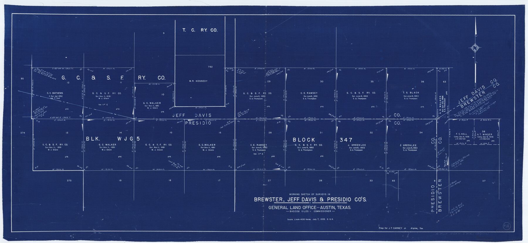
Brewster County Working Sketch 15a
-
Map/Doc
67549
-
Collection
General Map Collection
-
Object Dates
7/7/1953 (Creation Date)
-
People and Organizations
Otto G. Kurio (Draftsman)
-
Counties
Brewster Jeff Davis Presidio
-
Subjects
Surveying Working Sketch
-
Height x Width
22.6 x 49.1 inches
57.4 x 124.7 cm
-
Scale
1" = 400 varas
Part of: General Map Collection
Chambers County Sketch File 17

Print $40.00
- Digital $50.00
Chambers County Sketch File 17
1878
Size 12.4 x 15.6 inches
Map/Doc 17567
Reagan County Working Sketch Graphic Index

Print $40.00
- Digital $50.00
Reagan County Working Sketch Graphic Index
1940
Size 48.3 x 36.7 inches
Map/Doc 76677
Map of the Hearne and Brazos Valley Railroad from Mumford to Moseley's Ferry

Print $40.00
- Digital $50.00
Map of the Hearne and Brazos Valley Railroad from Mumford to Moseley's Ferry
1892
Size 20.0 x 56.8 inches
Map/Doc 64400
Walker County Sketch File 1

Print $4.00
- Digital $50.00
Walker County Sketch File 1
1853
Size 9.7 x 8.3 inches
Map/Doc 39547
Wharton County Sketch File A4

Print $11.00
- Digital $50.00
Wharton County Sketch File A4
1904
Size 11.0 x 8.4 inches
Map/Doc 39981
Karnes County Working Sketch 2

Print $20.00
- Digital $50.00
Karnes County Working Sketch 2
1939
Size 18.8 x 20.0 inches
Map/Doc 66650
Duval County Rolled Sketch GEB

Print $20.00
- Digital $50.00
Duval County Rolled Sketch GEB
1935
Size 26.9 x 30.4 inches
Map/Doc 5768
Jasper County Working Sketch 27

Print $20.00
- Digital $50.00
Jasper County Working Sketch 27
1954
Size 38.3 x 19.4 inches
Map/Doc 66489
Austin County Rolled Sketch 5B

Print $40.00
- Digital $50.00
Austin County Rolled Sketch 5B
1942
Size 22.5 x 50.8 inches
Map/Doc 5106
Hutchinson County Working Sketch 6

Print $20.00
- Digital $50.00
Hutchinson County Working Sketch 6
1914
Size 20.2 x 29.0 inches
Map/Doc 66364
Flight Mission No. BQR-5K, Frame 68, Brazoria County

Print $20.00
- Digital $50.00
Flight Mission No. BQR-5K, Frame 68, Brazoria County
1952
Size 18.8 x 22.5 inches
Map/Doc 84013
Motley County Sketch File 18 (N)

Print $4.00
- Digital $50.00
Motley County Sketch File 18 (N)
1913
Size 11.3 x 8.7 inches
Map/Doc 32062
You may also like
Gaines County

Print $40.00
- Digital $50.00
Gaines County
1902
Size 38.9 x 49.7 inches
Map/Doc 66832
Dawson County Working Sketch 3

Print $20.00
- Digital $50.00
Dawson County Working Sketch 3
1920
Size 16.1 x 14.8 inches
Map/Doc 68547
Map No. 3 by W. D. Twichell

Print $20.00
- Digital $50.00
Map No. 3 by W. D. Twichell
Size 42.5 x 32.9 inches
Map/Doc 89710
Montgomery County Rolled Sketch 16

Print $20.00
- Digital $50.00
Montgomery County Rolled Sketch 16
Size 28.5 x 26.6 inches
Map/Doc 6804
Bailey County Sketch File 11a

Print $4.00
- Digital $50.00
Bailey County Sketch File 11a
1912
Size 8.4 x 11.1 inches
Map/Doc 13967
Crosby County Sketch File 17

Print $4.00
- Digital $50.00
Crosby County Sketch File 17
1907
Size 4.2 x 8.9 inches
Map/Doc 20069
Map from Corpus Christi to Matagorda Bays, Texas [Inset: Survey of the channel of Copono Bay]
![72973, Map from Corpus Christi to Matagorda Bays, Texas [Inset: Survey of the channel of Copono Bay], General Map Collection](https://historictexasmaps.com/wmedia_w700/maps/72973.tif.jpg)
Print $20.00
- Digital $50.00
Map from Corpus Christi to Matagorda Bays, Texas [Inset: Survey of the channel of Copono Bay]
1846
Size 18.2 x 27.5 inches
Map/Doc 72973
Zavala County Rolled Sketch 30

Print $20.00
- Digital $50.00
Zavala County Rolled Sketch 30
Size 18.6 x 19.1 inches
Map/Doc 8331
Newton County Sketch File 46

Print $18.00
- Digital $50.00
Newton County Sketch File 46
1962
Size 11.2 x 8.6 inches
Map/Doc 32451
Trinity River, Hutchins Bridge Sheet

Print $20.00
- Digital $50.00
Trinity River, Hutchins Bridge Sheet
1922
Size 38.6 x 33.2 inches
Map/Doc 65190
Kerr County Boundary File 55

Print $64.00
- Digital $50.00
Kerr County Boundary File 55
Size 8.7 x 3.5 inches
Map/Doc 64826
