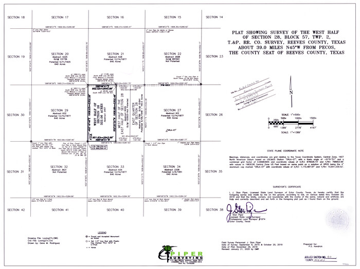
Reeves County Rolled Sketch 40
2019
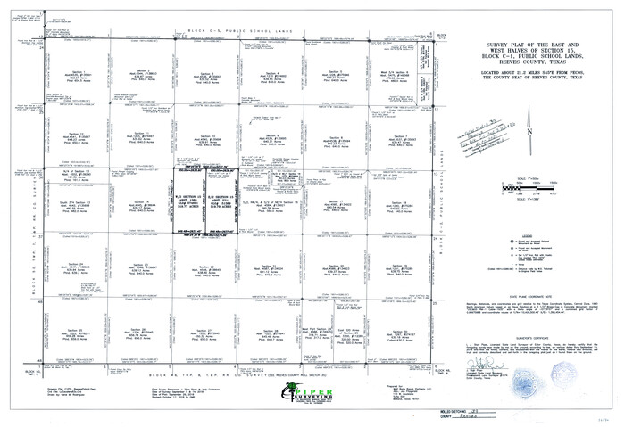
Reeves County Rolled Sketch 39
2018
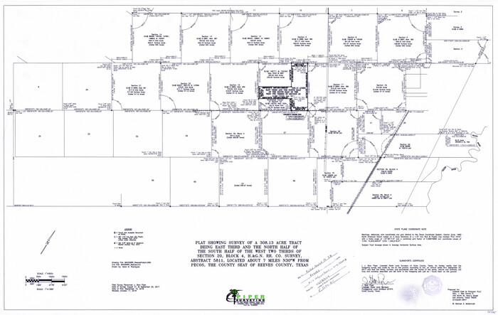
Reeves County Rolled Sketch 38
2018
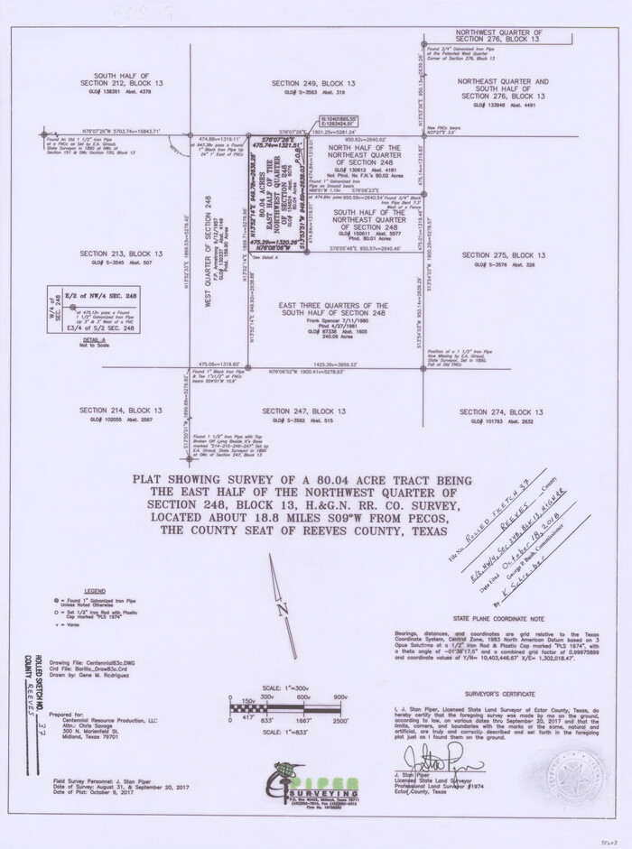
Reeves County Rolled Sketch 37
2017

Loving County Working Sketch 26
2014

Reeves County Rolled Sketch 35
2013
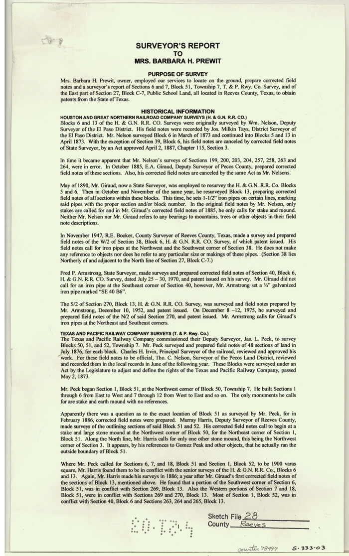
Reeves County Sketch File 28
2003

Reeves County Working Sketch 65
1990
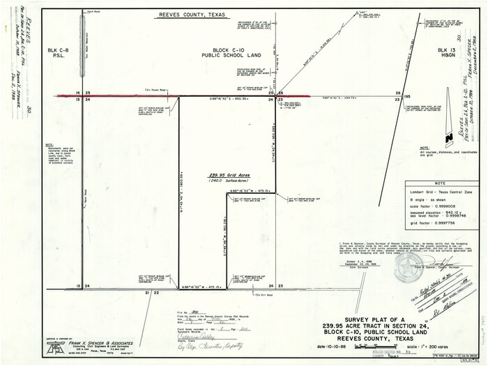
Reeves County Rolled Sketch 30
1988
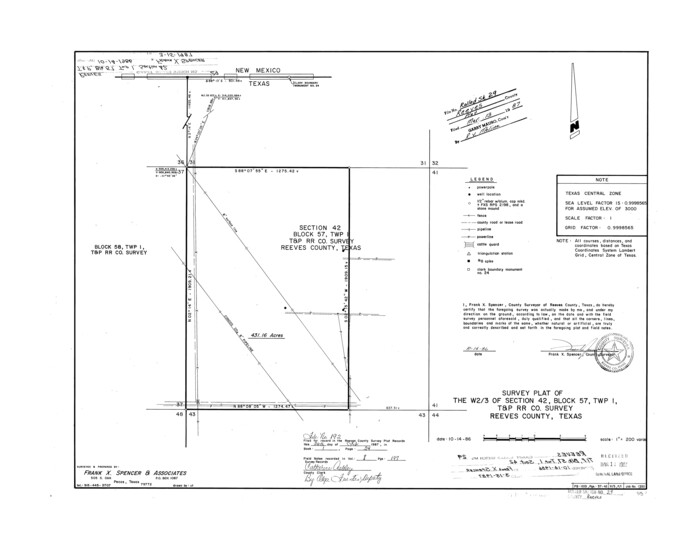
Reeves County Rolled Sketch 29
1986
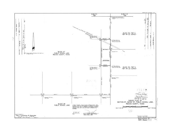
Reeves County Rolled Sketch 27
1985
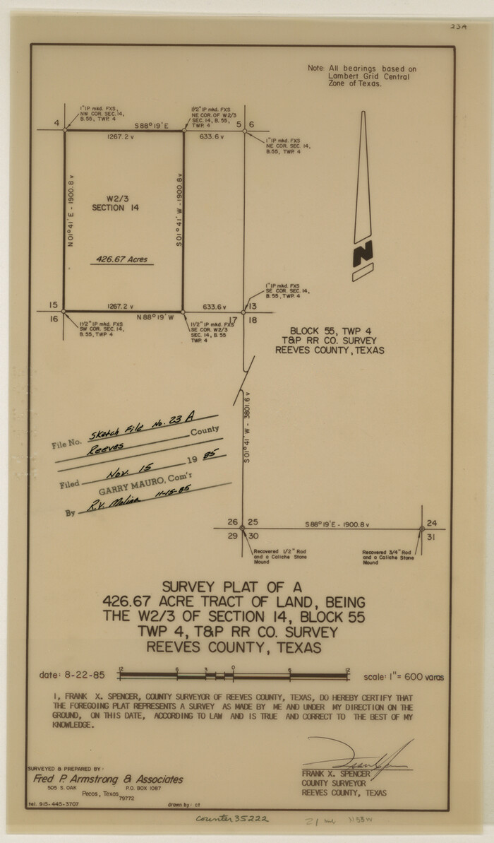
Reeves County Sketch File 23a and 23b
1985

Reeves County Rolled Sketch 26
1985
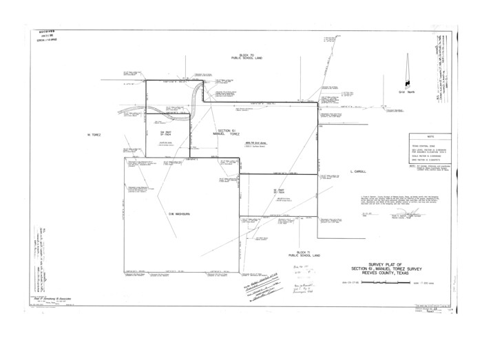
Reeves County Rolled Sketch 28
1985

Reeves County Working Sketch 64
1984
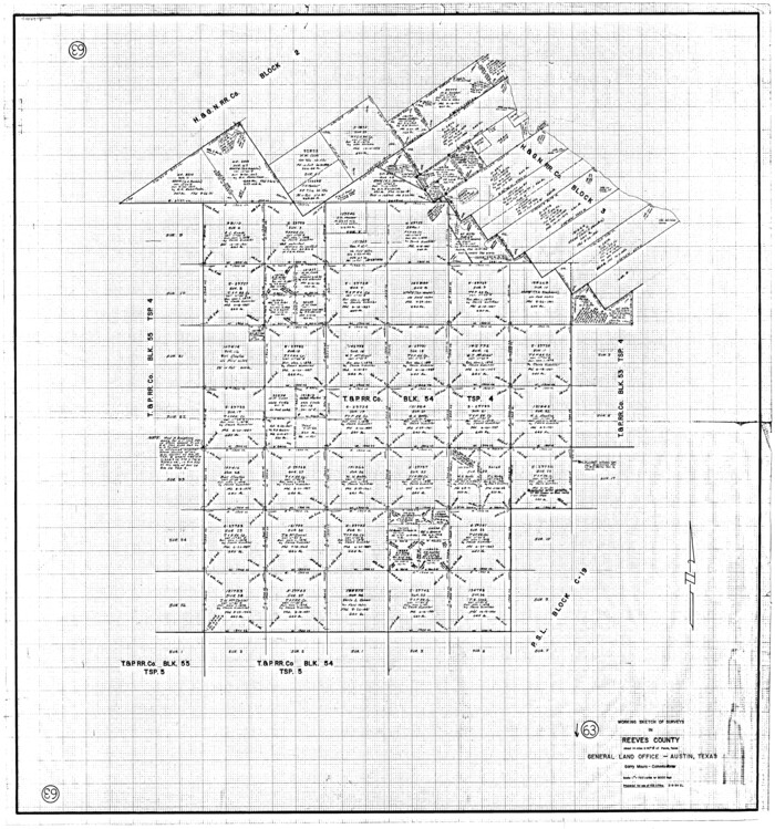
Reeves County Working Sketch 63
1984

Reeves County Working Sketch 62
1984

El Paso County Sketch File 32
1983

Reeves County Rolled Sketch 25
1982
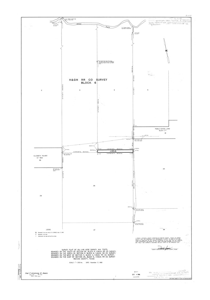
Reeves County Rolled Sketch 24
1982

Reeves County Rolled Sketch 24
1982
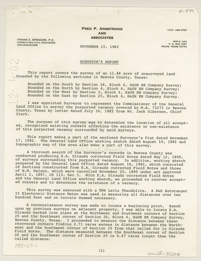
Reeves County Sketch File 27
1982

Reeves County Working Sketch 61
1982

Reeves County Rolled Sketch 23
1982
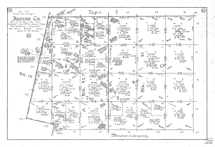
Reeves County Working Sketch 60
1981

Reeves County Working Sketch 59
1981

Reeves County Working Sketch 58
1980

Reeves County Rolled Sketch 21
1978
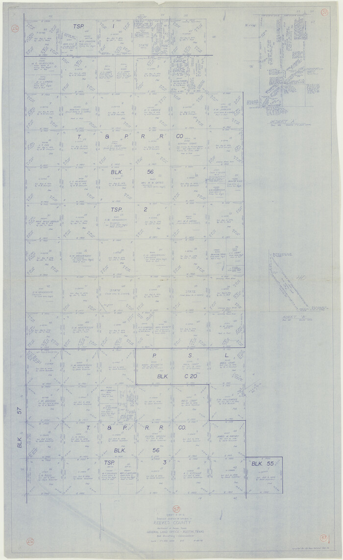
Reeves County Working Sketch 57
1978
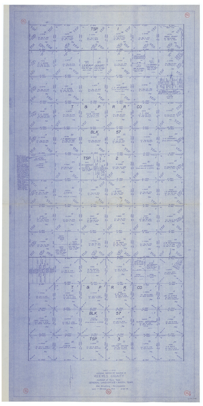
Reeves County Working Sketch 56
1978

Reeves County Rolled Sketch 40
2019
-
Size
18.1 x 24.2 inches
-
Map/Doc
95826
-
Creation Date
2019

Reeves County Rolled Sketch 39
2018
-
Size
25.0 x 36.5 inches
-
Map/Doc
96570
-
Creation Date
2018

Reeves County Rolled Sketch 38
2018
-
Size
24.4 x 38.6 inches
-
Map/Doc
95385
-
Creation Date
2018

Reeves County Rolled Sketch 37
2017
-
Size
22.9 x 17.1 inches
-
Map/Doc
95203
-
Creation Date
2017

Loving County Working Sketch 26
2014
-
Size
33.3 x 48.0 inches
-
Map/Doc
93681
-
Creation Date
2014

Reeves County Rolled Sketch 35
2013
-
Size
25.3 x 36.8 inches
-
Map/Doc
93706
-
Creation Date
2013

Reeves County Sketch File 28
2003
-
Size
14.3 x 8.8 inches
-
Map/Doc
78496
-
Creation Date
2003

Reeves County Working Sketch 65
1990
-
Size
17.3 x 19.7 inches
-
Map/Doc
63508
-
Creation Date
1990

Reeves County Rolled Sketch 30
1988
-
Size
18.4 x 24.4 inches
-
Map/Doc
7499
-
Creation Date
1988

Reeves County Rolled Sketch 29
1986
-
Size
21.6 x 27.5 inches
-
Map/Doc
7498
-
Creation Date
1986

Reeves County Rolled Sketch 27
1985
-
Size
21.6 x 27.6 inches
-
Map/Doc
7496
-
Creation Date
1985

Reeves County Sketch File 23a and 23b
1985
-
Size
14.9 x 8.7 inches
-
Map/Doc
35222
-
Creation Date
1985

Reeves County Rolled Sketch 26
1985
-
Size
21.6 x 27.7 inches
-
Map/Doc
7495
-
Creation Date
1985

Reeves County Rolled Sketch 28
1985
-
Size
28.1 x 40.1 inches
-
Map/Doc
7497
-
Creation Date
1985

Reeves County Working Sketch 64
1984
-
Size
26.3 x 26.5 inches
-
Map/Doc
63507
-
Creation Date
1984

Reeves County Working Sketch 63
1984
-
Size
35.7 x 33.4 inches
-
Map/Doc
63506
-
Creation Date
1984

Reeves County Working Sketch 62
1984
-
Size
29.5 x 35.4 inches
-
Map/Doc
63505
-
Creation Date
1984

El Paso County Sketch File 32
1983
-
Size
14.3 x 8.9 inches
-
Map/Doc
22124
-
Creation Date
1983

Reeves County Rolled Sketch 25
1982
-
Size
22.3 x 20.6 inches
-
Map/Doc
7494
-
Creation Date
1982

Reeves County Rolled Sketch 24
1982
-
Size
40.6 x 28.4 inches
-
Map/Doc
7492
-
Creation Date
1982

Reeves County Rolled Sketch 24
1982
-
Size
37.2 x 24.9 inches
-
Map/Doc
7493
-
Creation Date
1982

Reeves County Sketch File 27
1982
-
Size
11.5 x 8.9 inches
-
Map/Doc
35228
-
Creation Date
1982

Reeves County Working Sketch 61
1982
-
Size
32.1 x 31.4 inches
-
Map/Doc
63504
-
Creation Date
1982

Reeves County Rolled Sketch 23
1982
-
Size
19.6 x 25.5 inches
-
Map/Doc
7491
-
Creation Date
1982

Reeves County Working Sketch 60
1981
-
Size
24.7 x 36.3 inches
-
Map/Doc
63503
-
Creation Date
1981

Reeves County Working Sketch 59
1981
-
Size
36.3 x 72.8 inches
-
Map/Doc
63502
-
Creation Date
1981

Reeves County Working Sketch 58
1980
-
Size
32.3 x 25.3 inches
-
Map/Doc
63501
-
Creation Date
1980

Reeves County Rolled Sketch 21
1978
-
Size
27.6 x 27.6 inches
-
Map/Doc
7489
-
Creation Date
1978

Reeves County Working Sketch 57
1978
-
Size
58.3 x 35.8 inches
-
Map/Doc
63500
-
Creation Date
1978

Reeves County Working Sketch 56
1978
-
Size
58.8 x 29.5 inches
-
Map/Doc
63499
-
Creation Date
1978