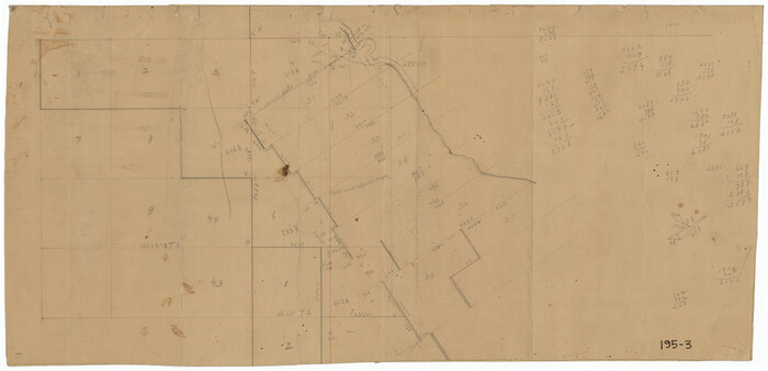
Culberson County Rolled Sketch 18
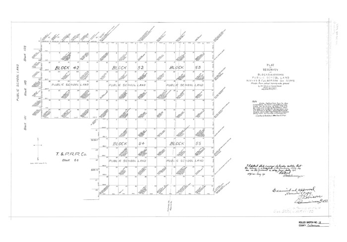

Print $6.00
- Digital $50.00
Culberson County Rolled Sketch 18
1911
Size: 24.1 x 34.5 inches
5650
Culberson County Rolled Sketch 50


Print $20.00
- Digital $50.00
Culberson County Rolled Sketch 50
1963
Size: 19.3 x 25.0 inches
5669
Culberson County Rolled Sketch 54


Print $40.00
- Digital $50.00
Culberson County Rolled Sketch 54
1968
Size: 59.0 x 29.4 inches
10300
Culberson County Sketch File 34


Print $8.00
- Digital $50.00
Culberson County Sketch File 34
1958
Size: 9.3 x 7.9 inches
20291
Culberson County Sketch File 38


Print $20.00
- Digital $50.00
Culberson County Sketch File 38
1964
Size: 21.7 x 18.6 inches
11274
Culberson County Sketch File 39
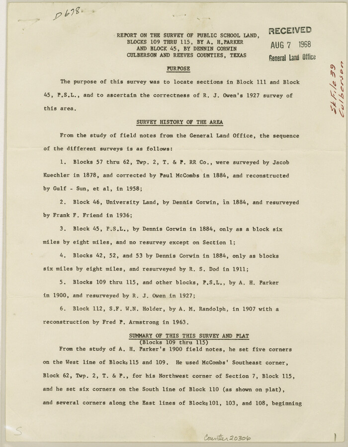

Print $12.00
- Digital $50.00
Culberson County Sketch File 39
1968
Size: 11.2 x 8.7 inches
20306
Culberson County Sketch File 40


Print $6.00
- Digital $50.00
Culberson County Sketch File 40
Size: 24.8 x 35.2 inches
11275
Culberson County Sketch File 44


Print $57.00
- Digital $50.00
Culberson County Sketch File 44
1968
Size: 11.4 x 8.9 inches
20331
Culberson County Sketch File EM


Print $7.00
- Digital $50.00
Culberson County Sketch File EM
Size: 36.2 x 40.3 inches
10359
Culberson County Working Sketch 26


Print $20.00
- Digital $50.00
Culberson County Working Sketch 26
1951
Size: 42.7 x 28.3 inches
68479
Culberson County Working Sketch 32
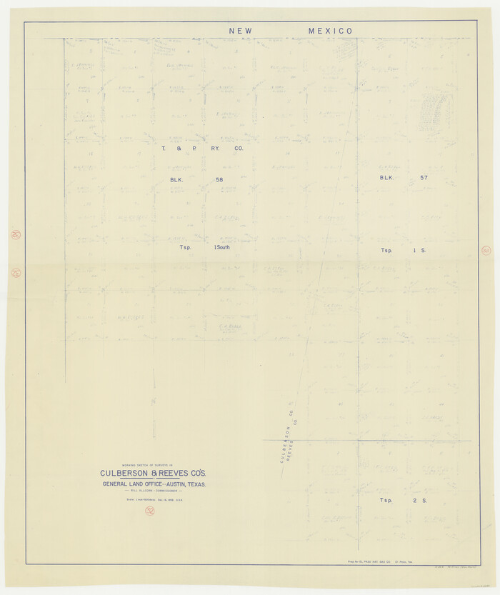

Print $20.00
- Digital $50.00
Culberson County Working Sketch 32
1958
Size: 45.3 x 38.0 inches
68485
Culberson County Working Sketch 57
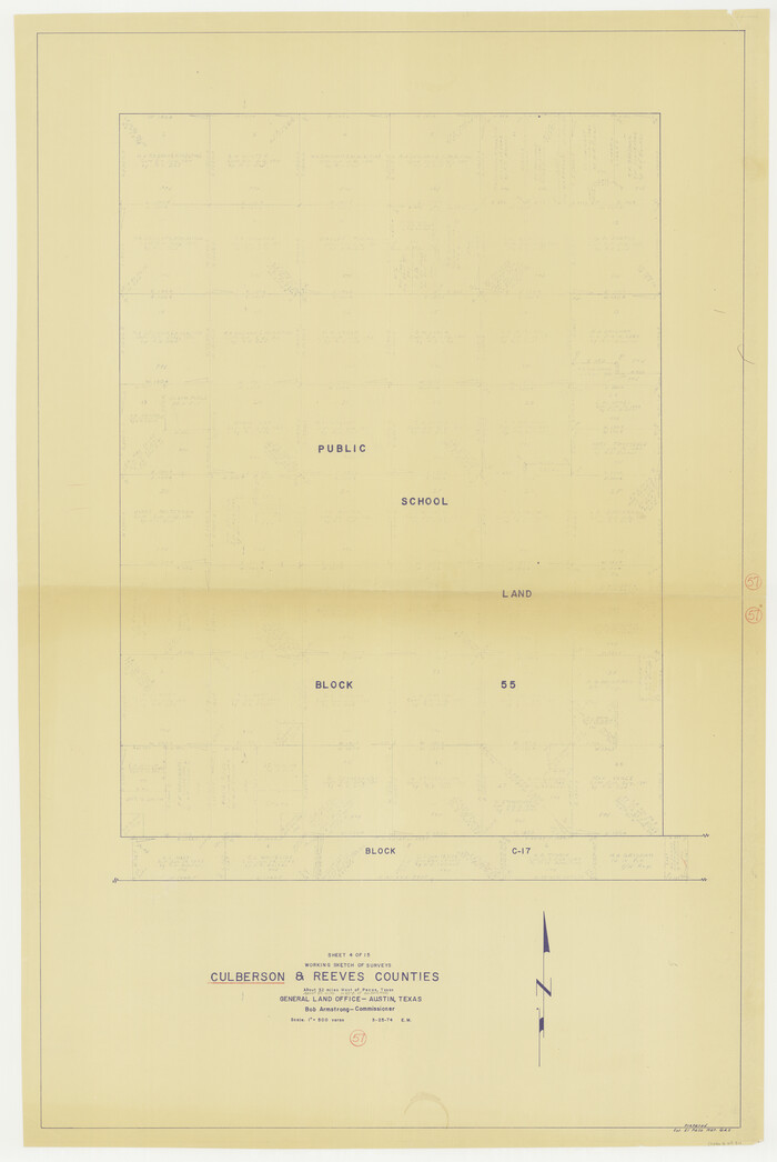

Print $40.00
- Digital $50.00
Culberson County Working Sketch 57
1974
Size: 49.0 x 32.8 inches
68511
Culberson County Working Sketch 59


Print $20.00
- Digital $50.00
Culberson County Working Sketch 59
1974
Size: 46.4 x 37.7 inches
68513
Culberson County Working Sketch 6
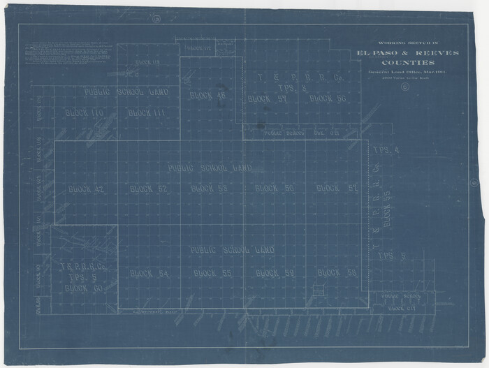

Print $20.00
- Digital $50.00
Culberson County Working Sketch 6
1911
Size: 33.2 x 44.1 inches
68458
El Paso County Rolled Sketch 47
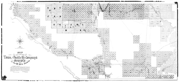

Print $40.00
- Digital $50.00
El Paso County Rolled Sketch 47
1885
Size: 41.3 x 90.4 inches
8874
El Paso County Sketch File 32


Print $8.00
- Digital $50.00
El Paso County Sketch File 32
1983
Size: 14.3 x 8.9 inches
22124
General Highway Map, Reeves County, Texas
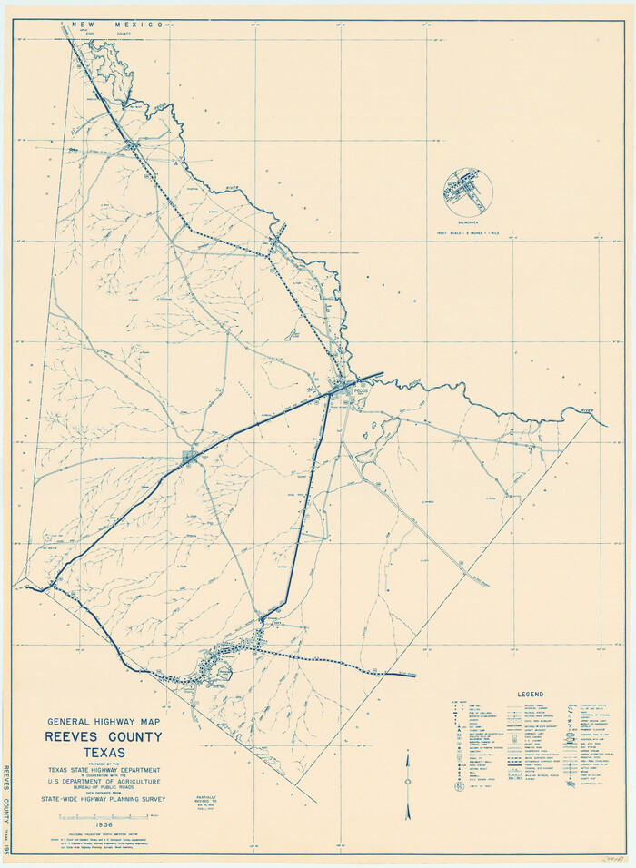

Print $20.00
General Highway Map, Reeves County, Texas
1940
Size: 24.8 x 18.2 inches
79227
General Highway Map, Reeves County, Texas
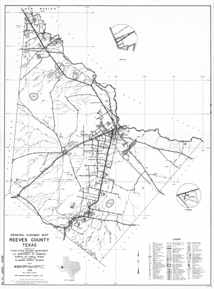

Print $20.00
General Highway Map, Reeves County, Texas
1961
Size: 24.6 x 18.2 inches
79638
Jacob Kuechler's Field Notes (Field Book), Texas & Pacific Ry. Co. 80 Mile Reserve


Print $222.00
- Digital $50.00
Jacob Kuechler's Field Notes (Field Book), Texas & Pacific Ry. Co. 80 Mile Reserve
1879
Size: 7.9 x 5.4 inches
3050
Jeff Davis County Rolled Sketch 15


Print $20.00
- Digital $50.00
Jeff Davis County Rolled Sketch 15
1897
Size: 20.4 x 17.2 inches
6368
Jeff Davis County Rolled Sketch 16


Print $20.00
- Digital $50.00
Jeff Davis County Rolled Sketch 16
Size: 27.1 x 31.7 inches
6369
Jeff Davis County Rolled Sketch 7


Print $40.00
- Digital $50.00
Jeff Davis County Rolled Sketch 7
1890
Size: 8.9 x 94.9 inches
9263
Jeff Davis County Sketch File 11


Print $20.00
- Digital $50.00
Jeff Davis County Sketch File 11
Size: 17.7 x 29.9 inches
11858
Jeff Davis County Sketch File 45


Print $10.00
- Digital $50.00
Jeff Davis County Sketch File 45
1890
Size: 14.0 x 8.5 inches
28075
Jeff Davis County Sketch File 8
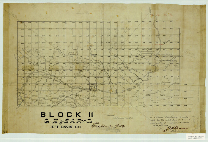

Print $20.00
- Digital $50.00
Jeff Davis County Sketch File 8
1889
Size: 19.5 x 28.5 inches
11857
Jeff Davis County Working Sketch 5
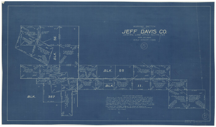

Print $20.00
- Digital $50.00
Jeff Davis County Working Sketch 5
1920
Size: 12.9 x 22.2 inches
66500
Kuechler's Corners, Texas & Pacific Ry. Co. 80 Mile Reserve


Print $703.00
- Digital $50.00
Kuechler's Corners, Texas & Pacific Ry. Co. 80 Mile Reserve
1934
Size: 11.0 x 8.5 inches
2248
Loving County Rolled Sketch 3


Print $40.00
- Digital $50.00
Loving County Rolled Sketch 3
1952
Size: 13.7 x 145.1 inches
78185
Loving County Rolled Sketch 3


Print $40.00
- Digital $50.00
Loving County Rolled Sketch 3
Size: 13.9 x 145.3 inches
9464
Culberson County Rolled Sketch 18


Print $6.00
- Digital $50.00
Culberson County Rolled Sketch 18
1911
-
Size
24.1 x 34.5 inches
-
Map/Doc
5650
-
Creation Date
1911
Culberson County Rolled Sketch 50


Print $20.00
- Digital $50.00
Culberson County Rolled Sketch 50
1963
-
Size
19.3 x 25.0 inches
-
Map/Doc
5669
-
Creation Date
1963
Culberson County Rolled Sketch 54


Print $40.00
- Digital $50.00
Culberson County Rolled Sketch 54
1968
-
Size
59.0 x 29.4 inches
-
Map/Doc
10300
-
Creation Date
1968
Culberson County Sketch File 34


Print $8.00
- Digital $50.00
Culberson County Sketch File 34
1958
-
Size
9.3 x 7.9 inches
-
Map/Doc
20291
-
Creation Date
1958
Culberson County Sketch File 38


Print $20.00
- Digital $50.00
Culberson County Sketch File 38
1964
-
Size
21.7 x 18.6 inches
-
Map/Doc
11274
-
Creation Date
1964
Culberson County Sketch File 39


Print $12.00
- Digital $50.00
Culberson County Sketch File 39
1968
-
Size
11.2 x 8.7 inches
-
Map/Doc
20306
-
Creation Date
1968
Culberson County Sketch File 40


Print $6.00
- Digital $50.00
Culberson County Sketch File 40
-
Size
24.8 x 35.2 inches
-
Map/Doc
11275
Culberson County Sketch File 44


Print $57.00
- Digital $50.00
Culberson County Sketch File 44
1968
-
Size
11.4 x 8.9 inches
-
Map/Doc
20331
-
Creation Date
1968
Culberson County Sketch File EM


Print $7.00
- Digital $50.00
Culberson County Sketch File EM
-
Size
36.2 x 40.3 inches
-
Map/Doc
10359
Culberson County Working Sketch 26


Print $20.00
- Digital $50.00
Culberson County Working Sketch 26
1951
-
Size
42.7 x 28.3 inches
-
Map/Doc
68479
-
Creation Date
1951
Culberson County Working Sketch 32


Print $20.00
- Digital $50.00
Culberson County Working Sketch 32
1958
-
Size
45.3 x 38.0 inches
-
Map/Doc
68485
-
Creation Date
1958
Culberson County Working Sketch 57


Print $40.00
- Digital $50.00
Culberson County Working Sketch 57
1974
-
Size
49.0 x 32.8 inches
-
Map/Doc
68511
-
Creation Date
1974
Culberson County Working Sketch 59


Print $20.00
- Digital $50.00
Culberson County Working Sketch 59
1974
-
Size
46.4 x 37.7 inches
-
Map/Doc
68513
-
Creation Date
1974
Culberson County Working Sketch 6


Print $20.00
- Digital $50.00
Culberson County Working Sketch 6
1911
-
Size
33.2 x 44.1 inches
-
Map/Doc
68458
-
Creation Date
1911
El Paso County Rolled Sketch 47


Print $40.00
- Digital $50.00
El Paso County Rolled Sketch 47
1885
-
Size
41.3 x 90.4 inches
-
Map/Doc
8874
-
Creation Date
1885
El Paso County Sketch File 32


Print $8.00
- Digital $50.00
El Paso County Sketch File 32
1983
-
Size
14.3 x 8.9 inches
-
Map/Doc
22124
-
Creation Date
1983
General Highway Map, Reeves County, Texas


Print $20.00
General Highway Map, Reeves County, Texas
1940
-
Size
24.8 x 18.2 inches
-
Map/Doc
79227
-
Creation Date
1940
General Highway Map, Reeves County, Texas


Print $20.00
General Highway Map, Reeves County, Texas
1961
-
Size
24.6 x 18.2 inches
-
Map/Doc
79638
-
Creation Date
1961
Jacob Kuechler's Field Notes (Field Book), Texas & Pacific Ry. Co. 80 Mile Reserve


Print $222.00
- Digital $50.00
Jacob Kuechler's Field Notes (Field Book), Texas & Pacific Ry. Co. 80 Mile Reserve
1879
-
Size
7.9 x 5.4 inches
-
Map/Doc
3050
-
Creation Date
1879
Jeff Davis County Rolled Sketch 15


Print $20.00
- Digital $50.00
Jeff Davis County Rolled Sketch 15
1897
-
Size
20.4 x 17.2 inches
-
Map/Doc
6368
-
Creation Date
1897
Jeff Davis County Rolled Sketch 16


Print $20.00
- Digital $50.00
Jeff Davis County Rolled Sketch 16
-
Size
27.1 x 31.7 inches
-
Map/Doc
6369
Jeff Davis County Rolled Sketch 7


Print $40.00
- Digital $50.00
Jeff Davis County Rolled Sketch 7
1890
-
Size
8.9 x 94.9 inches
-
Map/Doc
9263
-
Creation Date
1890
Jeff Davis County Sketch File 11


Print $20.00
- Digital $50.00
Jeff Davis County Sketch File 11
-
Size
17.7 x 29.9 inches
-
Map/Doc
11858
Jeff Davis County Sketch File 45


Print $10.00
- Digital $50.00
Jeff Davis County Sketch File 45
1890
-
Size
14.0 x 8.5 inches
-
Map/Doc
28075
-
Creation Date
1890
Jeff Davis County Sketch File 8


Print $20.00
- Digital $50.00
Jeff Davis County Sketch File 8
1889
-
Size
19.5 x 28.5 inches
-
Map/Doc
11857
-
Creation Date
1889
Jeff Davis County Working Sketch 5


Print $20.00
- Digital $50.00
Jeff Davis County Working Sketch 5
1920
-
Size
12.9 x 22.2 inches
-
Map/Doc
66500
-
Creation Date
1920
Kuechler's Corners, Texas & Pacific Ry. Co. 80 Mile Reserve


Print $703.00
- Digital $50.00
Kuechler's Corners, Texas & Pacific Ry. Co. 80 Mile Reserve
1934
-
Size
11.0 x 8.5 inches
-
Map/Doc
2248
-
Creation Date
1934
Loving County Rolled Sketch 3


Print $40.00
- Digital $50.00
Loving County Rolled Sketch 3
1952
-
Size
13.7 x 145.1 inches
-
Map/Doc
78185
-
Creation Date
1952
Loving County Rolled Sketch 3


Print $40.00
- Digital $50.00
Loving County Rolled Sketch 3
-
Size
13.9 x 145.3 inches
-
Map/Doc
9464
