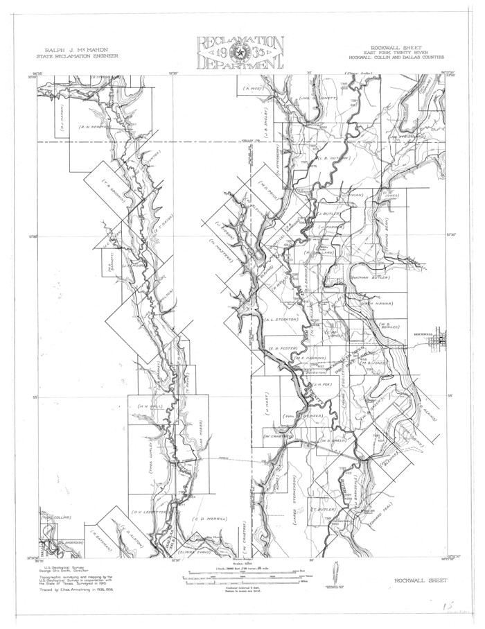
Trinity River, Rockwall Sheet/East Fork of Trinity River

Print $4.00
- Digital $50.00
Trinity River, Rockwall Sheet/East Fork of Trinity River
1936
Size: 29.6 x 22.9 inches
65193
Trinity River, Levee Improvement Districts, Widths of Floodways/Pilot Grove Creek and East Fork Trinity River


Print $6.00
- Digital $50.00
Trinity River, Levee Improvement Districts, Widths of Floodways/Pilot Grove Creek and East Fork Trinity River
1920
Size: 33.0 x 17.1 inches
65259
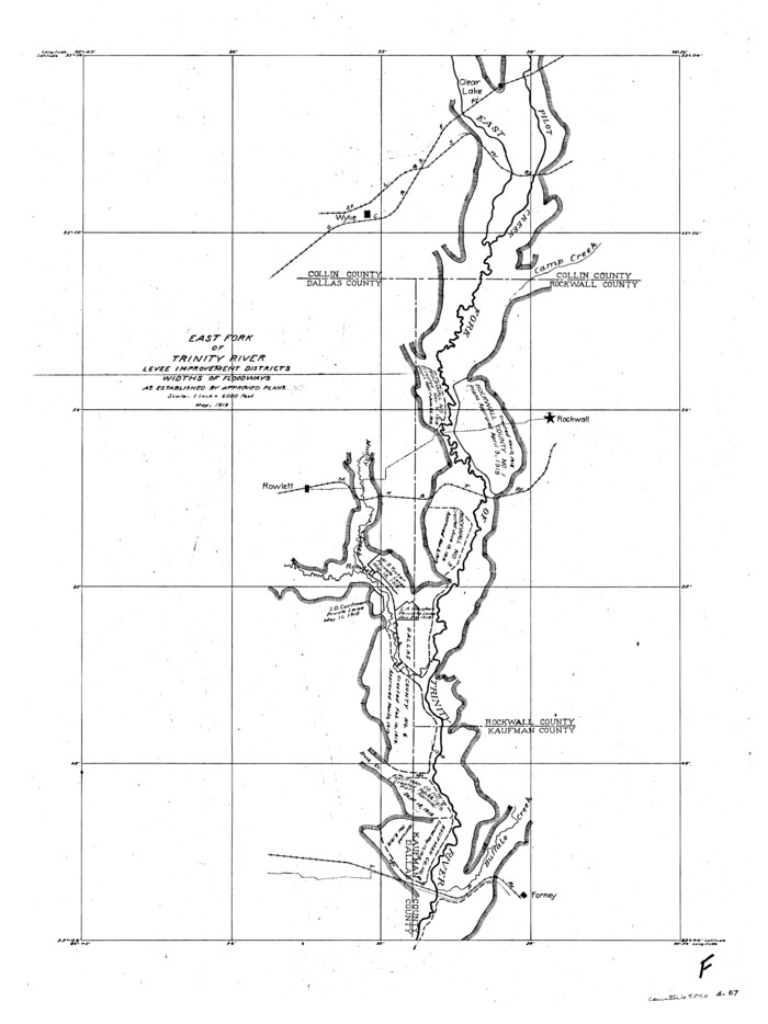
Trinity River, Levee Improvement Districts, Widths of Floodways

Print $4.00
- Digital $50.00
Trinity River, Levee Improvement Districts, Widths of Floodways
1919
Size: 23.5 x 17.6 inches
65250
Trinity River, Barnes Bridge Sheet/East Fork of Trinity River


Print $4.00
- Digital $50.00
Trinity River, Barnes Bridge Sheet/East Fork of Trinity River
1936
Size: 29.5 x 22.7 inches
65192
Sabine River, Watershed of the Sabine and Neches Rivers


Print $20.00
- Digital $50.00
Sabine River, Watershed of the Sabine and Neches Rivers
Size: 39.5 x 36.0 inches
65132
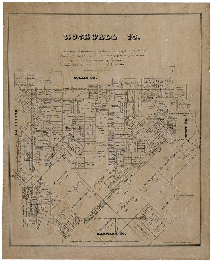
Rockwall County, Texas

Print $20.00
- Digital $50.00
Rockwall County, Texas
1880
Size: 22.7 x 19.3 inches
750
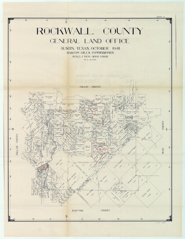
Rockwall County Working Sketch Graphic Index

Print $20.00
- Digital $50.00
Rockwall County Working Sketch Graphic Index
1941
Size: 30.0 x 23.5 inches
76686
Rockwall County Working Sketch 4


Print $20.00
- Digital $50.00
Rockwall County Working Sketch 4
1966
Size: 34.9 x 28.9 inches
63596
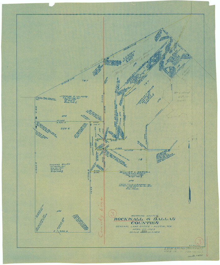
Rockwall County Working Sketch 3

Print $20.00
- Digital $50.00
Rockwall County Working Sketch 3
1923
Size: 22.6 x 18.7 inches
63595
Rockwall County Working Sketch 2


Print $20.00
- Digital $50.00
Rockwall County Working Sketch 2
1923
Size: 20.9 x 16.8 inches
63594
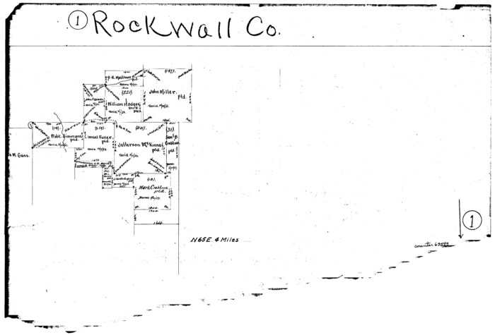
Rockwall County Working Sketch 1

Print $20.00
- Digital $50.00
Rockwall County Working Sketch 1
Size: 12.5 x 18.4 inches
63593
Rockwall County Sketch File 9

Print $20.00
Rockwall County Sketch File 9
Size: 31.1 x 39.7 inches
10590
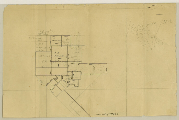
Rockwall County Sketch File 8

Print $4.00
Rockwall County Sketch File 8
Size: 7.1 x 10.6 inches
35429
Rockwall County Sketch File 7
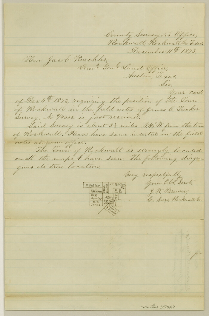

Print $4.00
Rockwall County Sketch File 7
1873
Size: 12.6 x 8.3 inches
35427
Rockwall County Sketch File 6


Print $4.00
- Digital $50.00
Rockwall County Sketch File 6
1862
Size: 8.5 x 9.4 inches
35425
Rockwall County Sketch File 5


Print $6.00
Rockwall County Sketch File 5
1861
Size: 13.0 x 8.3 inches
35422
Rockwall County Sketch File 4

Print $9.00
Rockwall County Sketch File 4
1860
Size: 7.7 x 12.1 inches
35419
Rockwall County Sketch File 3


Print $6.00
Rockwall County Sketch File 3
1851
Size: 17.2 x 11.6 inches
35417
Rockwall County Sketch File 2


Print $6.00
Rockwall County Sketch File 2
Size: 17.3 x 11.2 inches
35415
Rockwall County Sketch File 1
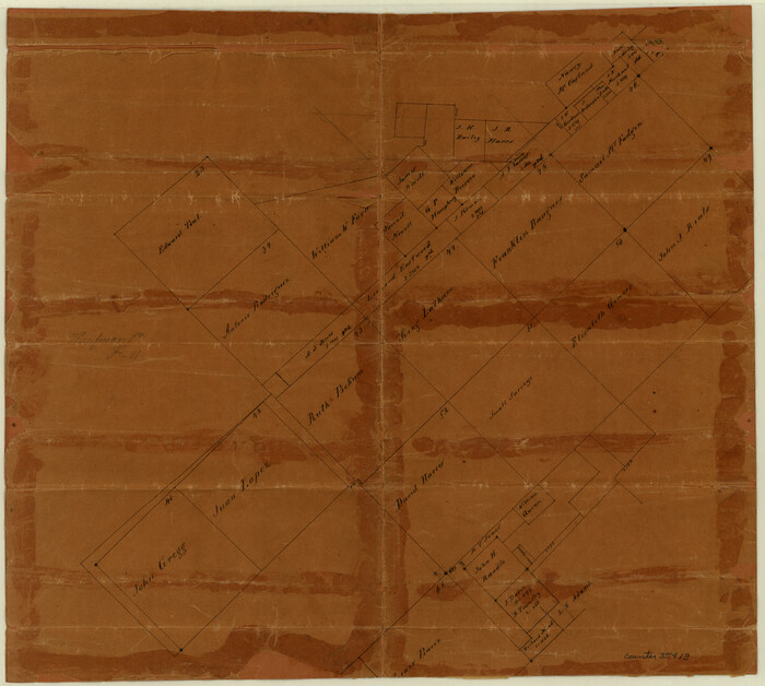

Print $22.00
Rockwall County Sketch File 1
Size: 14.5 x 16.1 inches
35413
Rockwall County Boundary File 9a
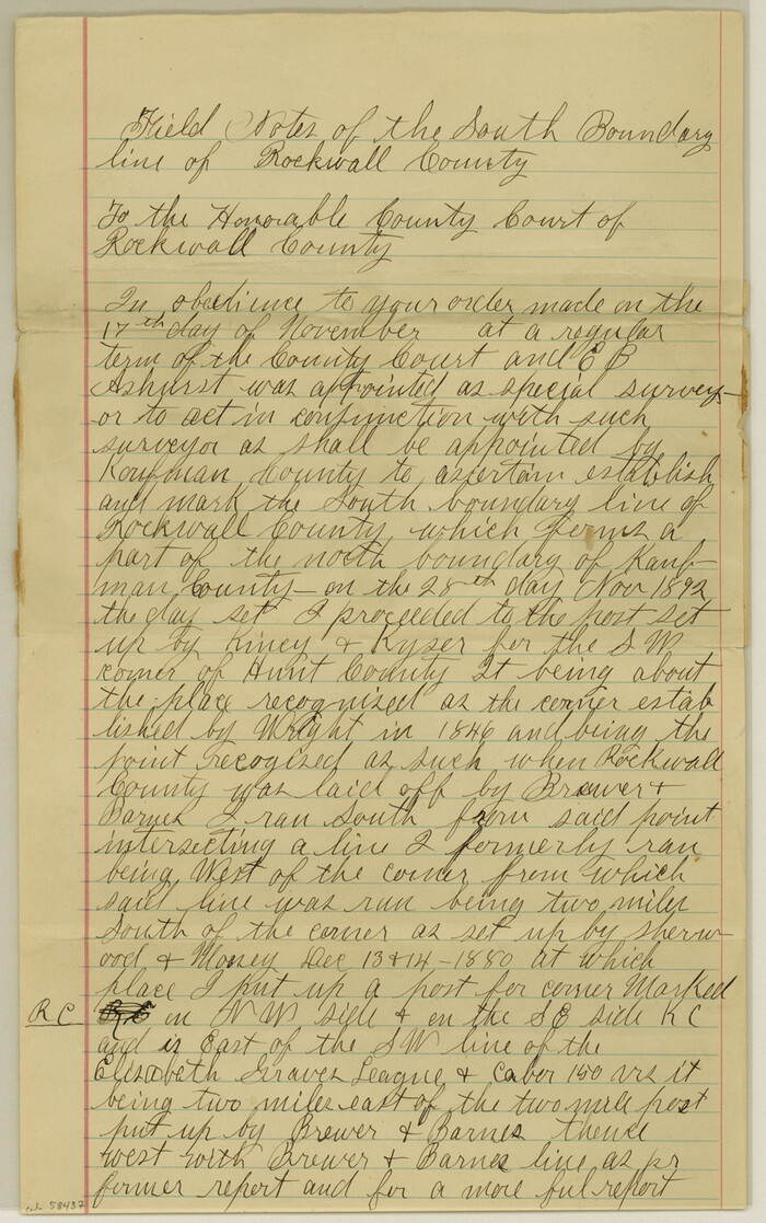

Print $4.00
- Digital $50.00
Rockwall County Boundary File 9a
Size: 14.0 x 8.8 inches
58437
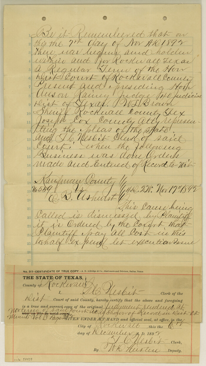
Rockwall County Boundary File 9

Print $8.00
- Digital $50.00
Rockwall County Boundary File 9
Size: 15.9 x 9.0 inches
58433
Rockwall County Boundary File 8


Print $10.00
- Digital $50.00
Rockwall County Boundary File 8
Size: 14.4 x 8.8 inches
58428
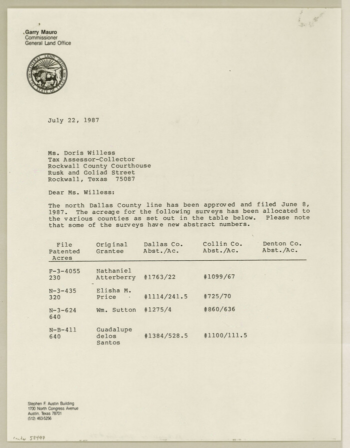
Rockwall County Boundary File 76

Print $14.00
- Digital $50.00
Rockwall County Boundary File 76
Size: 11.4 x 8.9 inches
58497
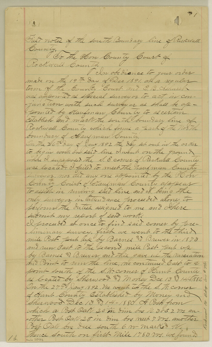
Rockwall County Boundary File 75b

Print $42.00
- Digital $50.00
Rockwall County Boundary File 75b
Size: 14.3 x 8.8 inches
58486
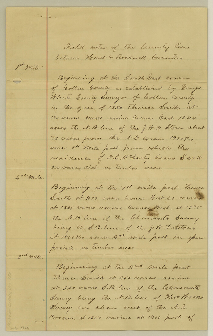
Rockwall County Boundary File 75a

Print $10.00
- Digital $50.00
Rockwall County Boundary File 75a
Size: 13.0 x 8.2 inches
58481
Rockwall County Boundary File 75


Print $18.00
- Digital $50.00
Rockwall County Boundary File 75
Size: 9.0 x 11.7 inches
58472
Rockwall County Boundary File 7


Print $4.00
- Digital $50.00
Rockwall County Boundary File 7
Size: 11.5 x 8.8 inches
58426
Rockwall County Boundary File 6


Print $48.00
- Digital $50.00
Rockwall County Boundary File 6
Size: 14.0 x 8.6 inches
58420
Rockwall County Boundary File 52a


Print $22.00
- Digital $50.00
Rockwall County Boundary File 52a
Size: 12.9 x 8.3 inches
58461
Trinity River, Rockwall Sheet/East Fork of Trinity River


Print $4.00
- Digital $50.00
Trinity River, Rockwall Sheet/East Fork of Trinity River
1936
-
Size
29.6 x 22.9 inches
-
Map/Doc
65193
-
Creation Date
1936
Trinity River, Levee Improvement Districts, Widths of Floodways/Pilot Grove Creek and East Fork Trinity River


Print $6.00
- Digital $50.00
Trinity River, Levee Improvement Districts, Widths of Floodways/Pilot Grove Creek and East Fork Trinity River
1920
-
Size
33.0 x 17.1 inches
-
Map/Doc
65259
-
Creation Date
1920
Trinity River, Levee Improvement Districts, Widths of Floodways


Print $4.00
- Digital $50.00
Trinity River, Levee Improvement Districts, Widths of Floodways
1919
-
Size
23.5 x 17.6 inches
-
Map/Doc
65250
-
Creation Date
1919
Trinity River, Barnes Bridge Sheet/East Fork of Trinity River


Print $4.00
- Digital $50.00
Trinity River, Barnes Bridge Sheet/East Fork of Trinity River
1936
-
Size
29.5 x 22.7 inches
-
Map/Doc
65192
-
Creation Date
1936
Sabine River, Watershed of the Sabine and Neches Rivers


Print $20.00
- Digital $50.00
Sabine River, Watershed of the Sabine and Neches Rivers
-
Size
39.5 x 36.0 inches
-
Map/Doc
65132
Rockwall County, Texas


Print $20.00
- Digital $50.00
Rockwall County, Texas
1880
-
Size
22.7 x 19.3 inches
-
Map/Doc
750
-
Creation Date
1880
Rockwall County Working Sketch Graphic Index


Print $20.00
- Digital $50.00
Rockwall County Working Sketch Graphic Index
1941
-
Size
30.0 x 23.5 inches
-
Map/Doc
76686
-
Creation Date
1941
Rockwall County Working Sketch 4


Print $20.00
- Digital $50.00
Rockwall County Working Sketch 4
1966
-
Size
34.9 x 28.9 inches
-
Map/Doc
63596
-
Creation Date
1966
Rockwall County Working Sketch 3


Print $20.00
- Digital $50.00
Rockwall County Working Sketch 3
1923
-
Size
22.6 x 18.7 inches
-
Map/Doc
63595
-
Creation Date
1923
Rockwall County Working Sketch 2


Print $20.00
- Digital $50.00
Rockwall County Working Sketch 2
1923
-
Size
20.9 x 16.8 inches
-
Map/Doc
63594
-
Creation Date
1923
Rockwall County Working Sketch 1


Print $20.00
- Digital $50.00
Rockwall County Working Sketch 1
-
Size
12.5 x 18.4 inches
-
Map/Doc
63593
Rockwall County Sketch File 9


Print $20.00
Rockwall County Sketch File 9
-
Size
31.1 x 39.7 inches
-
Map/Doc
10590
Rockwall County Sketch File 8


Print $4.00
Rockwall County Sketch File 8
-
Size
7.1 x 10.6 inches
-
Map/Doc
35429
Rockwall County Sketch File 7


Print $4.00
Rockwall County Sketch File 7
1873
-
Size
12.6 x 8.3 inches
-
Map/Doc
35427
-
Creation Date
1873
Rockwall County Sketch File 6


Print $4.00
- Digital $50.00
Rockwall County Sketch File 6
1862
-
Size
8.5 x 9.4 inches
-
Map/Doc
35425
-
Creation Date
1862
Rockwall County Sketch File 5


Print $6.00
Rockwall County Sketch File 5
1861
-
Size
13.0 x 8.3 inches
-
Map/Doc
35422
-
Creation Date
1861
Rockwall County Sketch File 4


Print $9.00
Rockwall County Sketch File 4
1860
-
Size
7.7 x 12.1 inches
-
Map/Doc
35419
-
Creation Date
1860
Rockwall County Sketch File 3


Print $6.00
Rockwall County Sketch File 3
1851
-
Size
17.2 x 11.6 inches
-
Map/Doc
35417
-
Creation Date
1851
Rockwall County Sketch File 2


Print $6.00
Rockwall County Sketch File 2
-
Size
17.3 x 11.2 inches
-
Map/Doc
35415
Rockwall County Sketch File 1


Print $22.00
Rockwall County Sketch File 1
-
Size
14.5 x 16.1 inches
-
Map/Doc
35413
Rockwall County Boundary File 9a


Print $4.00
- Digital $50.00
Rockwall County Boundary File 9a
-
Size
14.0 x 8.8 inches
-
Map/Doc
58437
Rockwall County Boundary File 9


Print $8.00
- Digital $50.00
Rockwall County Boundary File 9
-
Size
15.9 x 9.0 inches
-
Map/Doc
58433
Rockwall County Boundary File 8


Print $10.00
- Digital $50.00
Rockwall County Boundary File 8
-
Size
14.4 x 8.8 inches
-
Map/Doc
58428
Rockwall County Boundary File 76


Print $14.00
- Digital $50.00
Rockwall County Boundary File 76
-
Size
11.4 x 8.9 inches
-
Map/Doc
58497
Rockwall County Boundary File 75b


Print $42.00
- Digital $50.00
Rockwall County Boundary File 75b
-
Size
14.3 x 8.8 inches
-
Map/Doc
58486
Rockwall County Boundary File 75a


Print $10.00
- Digital $50.00
Rockwall County Boundary File 75a
-
Size
13.0 x 8.2 inches
-
Map/Doc
58481
Rockwall County Boundary File 75


Print $18.00
- Digital $50.00
Rockwall County Boundary File 75
-
Size
9.0 x 11.7 inches
-
Map/Doc
58472
Rockwall County Boundary File 7


Print $4.00
- Digital $50.00
Rockwall County Boundary File 7
-
Size
11.5 x 8.8 inches
-
Map/Doc
58426
Rockwall County Boundary File 6


Print $48.00
- Digital $50.00
Rockwall County Boundary File 6
-
Size
14.0 x 8.6 inches
-
Map/Doc
58420
Rockwall County Boundary File 52a


Print $22.00
- Digital $50.00
Rockwall County Boundary File 52a
-
Size
12.9 x 8.3 inches
-
Map/Doc
58461