
Rockwall County Working Sketch 4
1966

General Highway Map, Dallas County, Rockwall County, Texas
1961
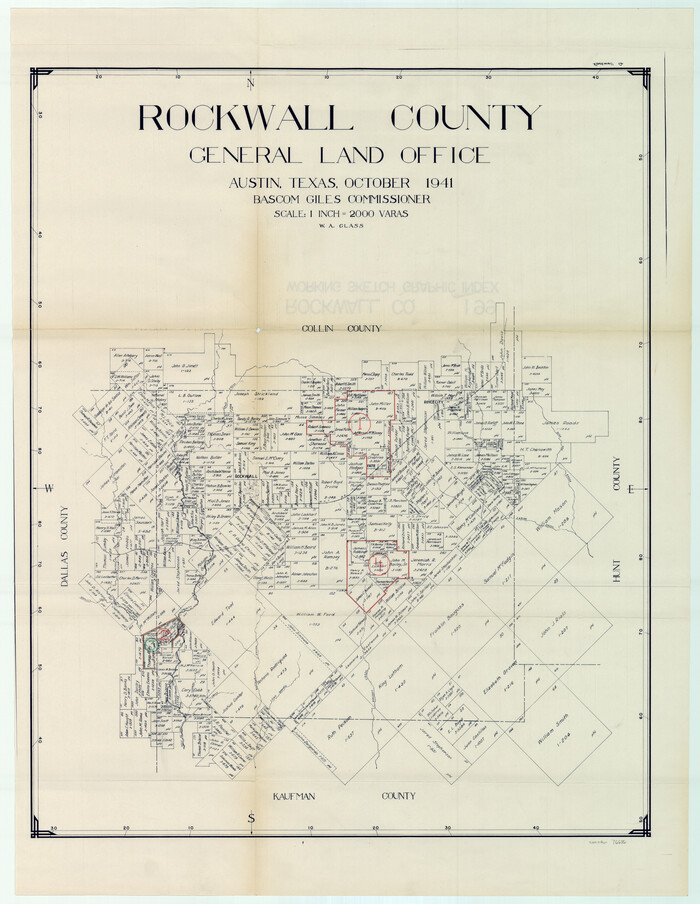
Rockwall County Working Sketch Graphic Index
1941

Trinity River, Barnes Bridge Sheet/East Fork of Trinity River
1936
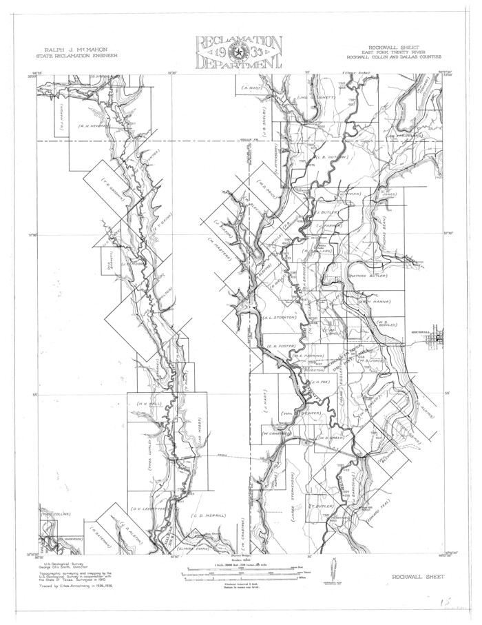
Trinity River, Rockwall Sheet/East Fork of Trinity River
1936

General Highway Map, Dallas County, Rockwall County, Texas
1936
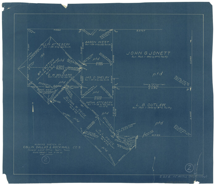
Collin County Working Sketch 2
1926

Rockwall County Working Sketch 2
1923
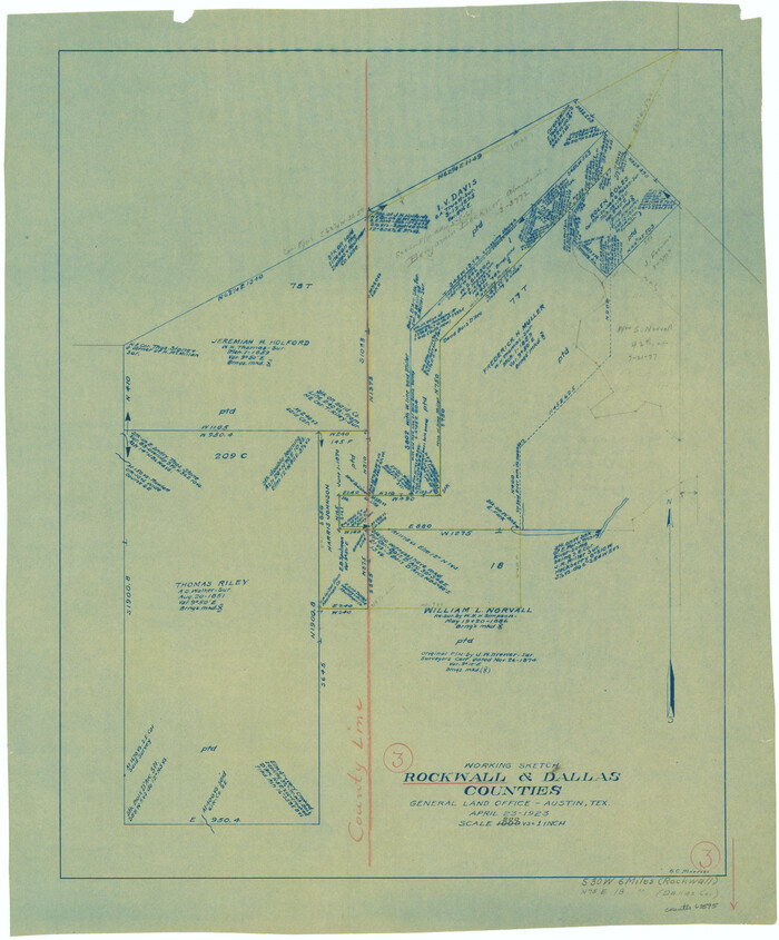
Rockwall County Working Sketch 3
1923

Trinity River, Levee Improvement Districts, Widths of Floodways/Pilot Grove Creek and East Fork Trinity River
1920
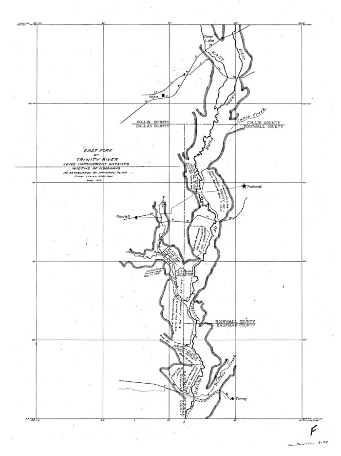
Trinity River, Levee Improvement Districts, Widths of Floodways
1919
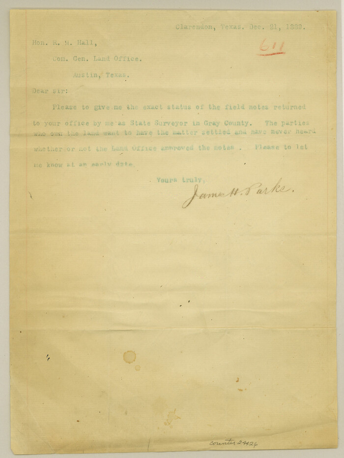
Gray County Sketch File 9
1889
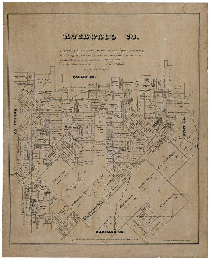
Rockwall County, Texas
1880

Collin County Sketch File 9
1878
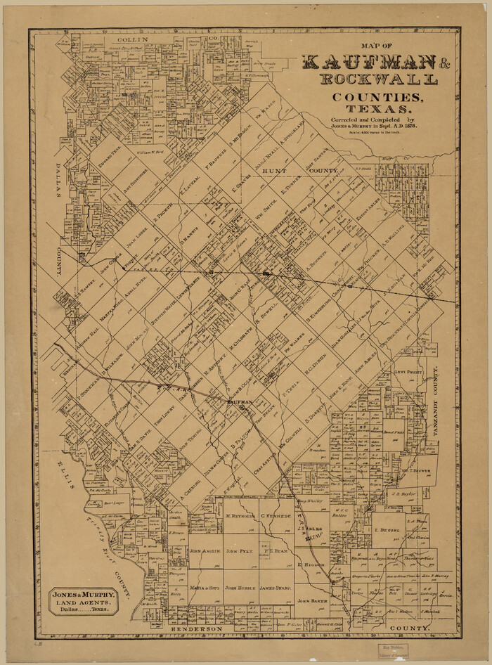
Map of Kaufman and Rockwall Counties, Texas
1878
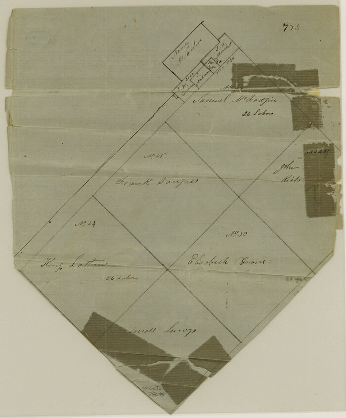
Kaufman County Sketch File 11
1874
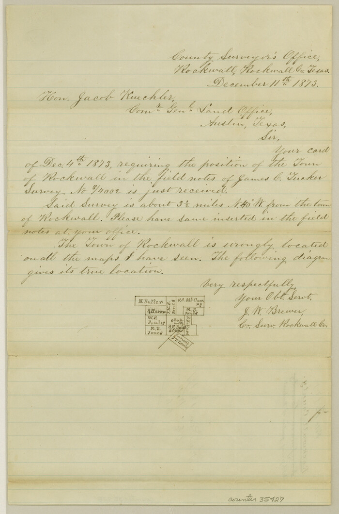
Rockwall County Sketch File 7
1873

Kaufman County Sketch File 10a
1871

Rockwall County Sketch File 6
1862

Hunt County Sketch File 17
1861
Rockwall County Sketch File 4
1860
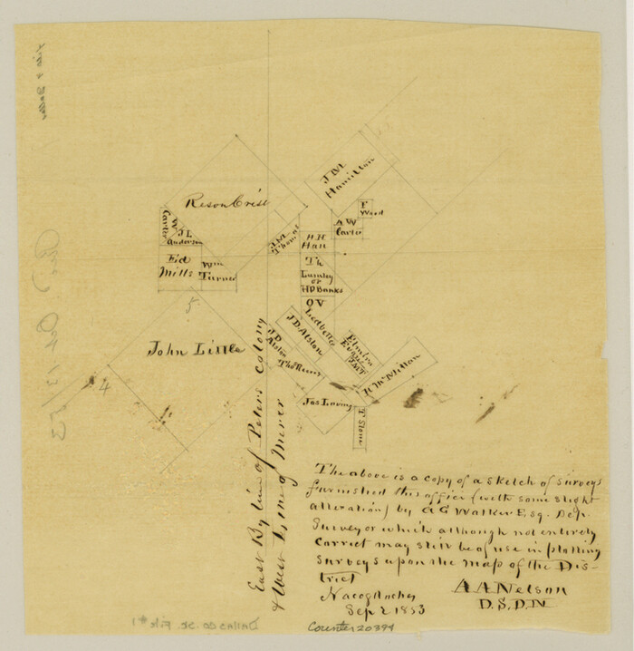
Dallas County Sketch File 1
1853

Rockwall County Sketch File 3
1851
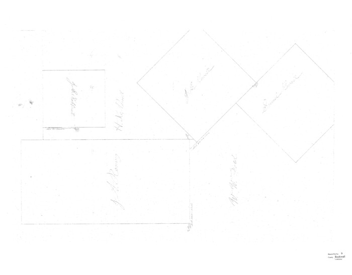
Rockwall County Sketch File 9

Rockwall County Working Sketch 4
1966
-
Size
34.9 x 28.9 inches
-
Map/Doc
63596
-
Creation Date
1966

General Highway Map, Dallas County, Rockwall County, Texas
1961
-
Size
18.4 x 24.5 inches
-
Map/Doc
79430
-
Creation Date
1961

Rockwall County
1941
-
Size
28.5 x 23.9 inches
-
Map/Doc
63006
-
Creation Date
1941
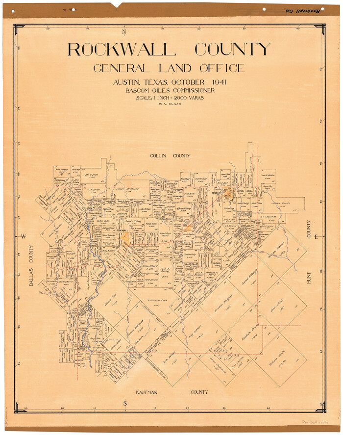
Rockwall County
1941
-
Size
28.7 x 23.0 inches
-
Map/Doc
73277
-
Creation Date
1941

Rockwall County Working Sketch Graphic Index
1941
-
Size
30.0 x 23.5 inches
-
Map/Doc
76686
-
Creation Date
1941
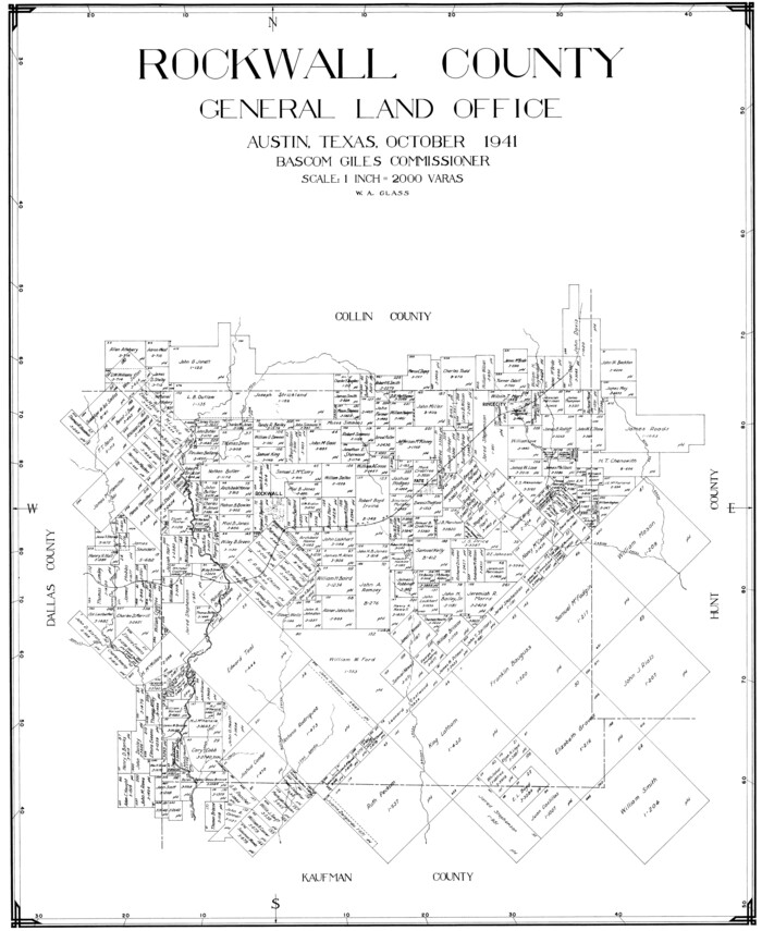
Rockwall County
1941
-
Size
26.0 x 21.3 inches
-
Map/Doc
77410
-
Creation Date
1941

Rockwall County
1941
-
Size
29.7 x 24.1 inches
-
Map/Doc
95628
-
Creation Date
1941

Trinity River, Barnes Bridge Sheet/East Fork of Trinity River
1936
-
Size
29.5 x 22.7 inches
-
Map/Doc
65192
-
Creation Date
1936

Trinity River, Rockwall Sheet/East Fork of Trinity River
1936
-
Size
29.6 x 22.9 inches
-
Map/Doc
65193
-
Creation Date
1936

General Highway Map, Dallas County, Rockwall County, Texas
1936
-
Size
18.7 x 25.2 inches
-
Map/Doc
79066
-
Creation Date
1936

Collin County Working Sketch 2
1926
-
Size
15.2 x 17.7 inches
-
Map/Doc
68096
-
Creation Date
1926

Rockwall County Working Sketch 2
1923
-
Size
20.9 x 16.8 inches
-
Map/Doc
63594
-
Creation Date
1923

Rockwall County Working Sketch 3
1923
-
Size
22.6 x 18.7 inches
-
Map/Doc
63595
-
Creation Date
1923

Trinity River, Levee Improvement Districts, Widths of Floodways/Pilot Grove Creek and East Fork Trinity River
1920
-
Size
33.0 x 17.1 inches
-
Map/Doc
65259
-
Creation Date
1920

Trinity River, Levee Improvement Districts, Widths of Floodways
1919
-
Size
23.5 x 17.6 inches
-
Map/Doc
65250
-
Creation Date
1919

Gray County Sketch File 9
1889
-
Size
11.2 x 8.4 inches
-
Map/Doc
24426
-
Creation Date
1889

Rockwall County, Texas
1880
-
Size
22.7 x 19.3 inches
-
Map/Doc
750
-
Creation Date
1880

Collin County Sketch File 9
1878
-
Size
8.3 x 10.1 inches
-
Map/Doc
18870
-
Creation Date
1878

Map of Kaufman and Rockwall Counties, Texas
1878
-
Size
23.4 x 17.3 inches
-
Map/Doc
88963
-
Creation Date
1878

Kaufman County Sketch File 11
1874
-
Size
10.2 x 8.4 inches
-
Map/Doc
28645
-
Creation Date
1874
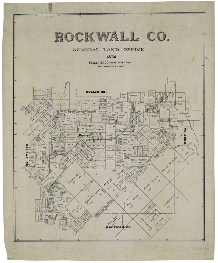
Rockwall Co.
1874
-
Size
25.5 x 21.0 inches
-
Map/Doc
63005
-
Creation Date
1874
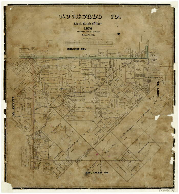
Rockwall County
1874
-
Size
20.3 x 18.6 inches
-
Map/Doc
3998
-
Creation Date
1874

Rockwall County Sketch File 7
1873
-
Size
12.6 x 8.3 inches
-
Map/Doc
35427
-
Creation Date
1873

Kaufman County Sketch File 10a
1871
-
Size
18.3 x 14.6 inches
-
Map/Doc
11906
-
Creation Date
1871

Rockwall County Sketch File 6
1862
-
Size
8.5 x 9.4 inches
-
Map/Doc
35425
-
Creation Date
1862

Hunt County Sketch File 17
1861
-
Size
10.6 x 8.2 inches
-
Map/Doc
27114
-
Creation Date
1861

Rockwall County Sketch File 4
1860
-
Size
7.7 x 12.1 inches
-
Map/Doc
35419
-
Creation Date
1860

Dallas County Sketch File 1
1853
-
Size
7.2 x 7.0 inches
-
Map/Doc
20394
-
Creation Date
1853

Rockwall County Sketch File 3
1851
-
Size
17.2 x 11.6 inches
-
Map/Doc
35417
-
Creation Date
1851

Rockwall County Sketch File 9
-
Size
31.1 x 39.7 inches
-
Map/Doc
10590