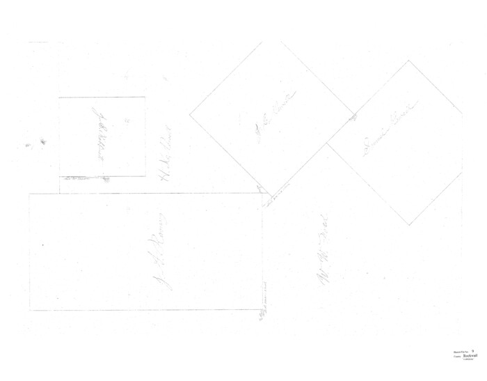
Rockwall County Sketch File 9

Print $20.00
Rockwall County Sketch File 9
Size: 31.1 x 39.7 inches
10590
Dallas County Sketch File 25


Print $20.00
- Digital $50.00
Dallas County Sketch File 25
Size: 14.9 x 14.6 inches
11288
Kaufman County Sketch File 10a


Print $20.00
- Digital $50.00
Kaufman County Sketch File 10a
1871
Size: 18.3 x 14.6 inches
11906
Collin County Sketch File 9


Print $4.00
- Digital $50.00
Collin County Sketch File 9
1878
Size: 8.3 x 10.1 inches
18870
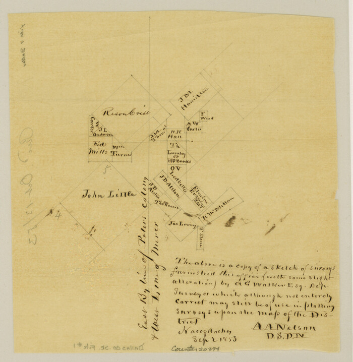
Dallas County Sketch File 1

Print $4.00
- Digital $50.00
Dallas County Sketch File 1
1853
Size: 7.2 x 7.0 inches
20394
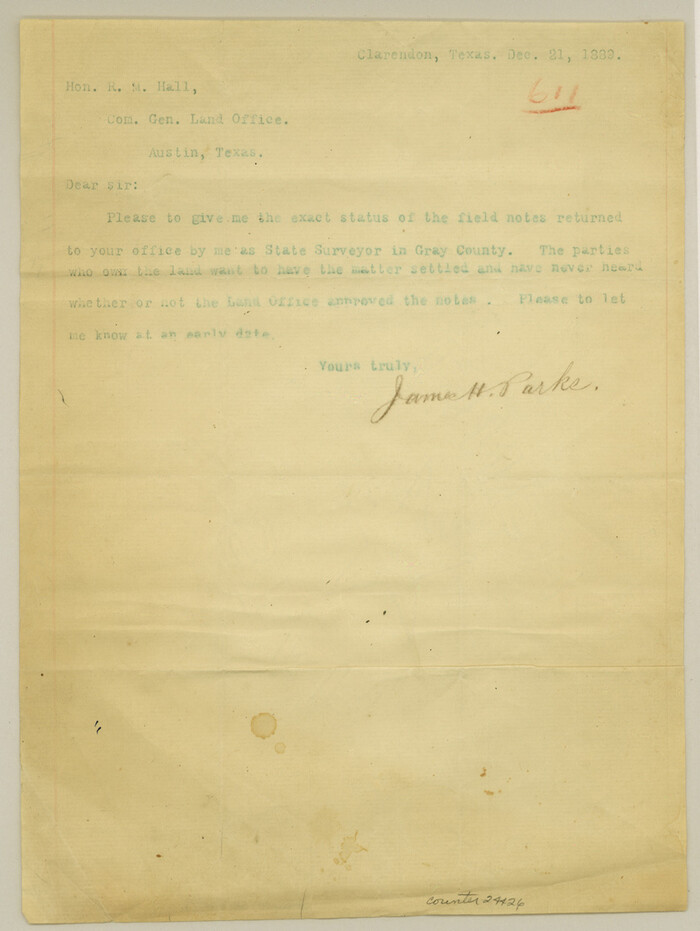
Gray County Sketch File 9

Print $38.00
- Digital $50.00
Gray County Sketch File 9
1889
Size: 11.2 x 8.4 inches
24426
Hunt County Sketch File 17


Print $8.00
- Digital $50.00
Hunt County Sketch File 17
1861
Size: 10.6 x 8.2 inches
27114
Hunt County Sketch File 35


Print $4.00
- Digital $50.00
Hunt County Sketch File 35
Size: 5.3 x 8.3 inches
27148
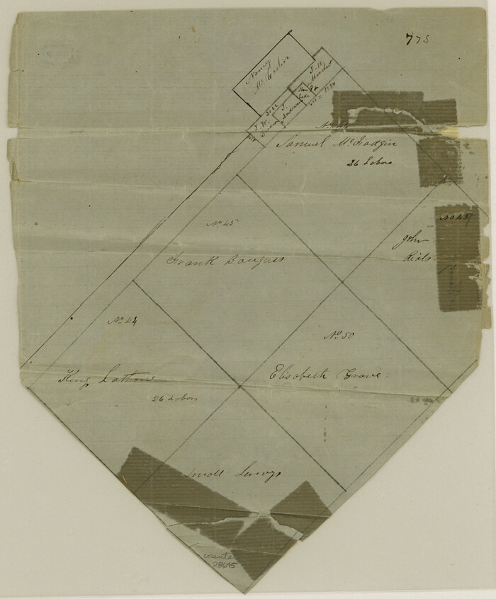
Kaufman County Sketch File 11

Print $4.00
- Digital $50.00
Kaufman County Sketch File 11
1874
Size: 10.2 x 8.4 inches
28645
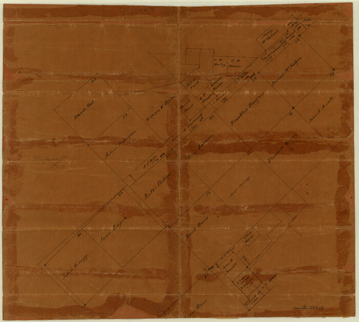
Rockwall County Sketch File 1

Print $22.00
Rockwall County Sketch File 1
Size: 14.5 x 16.1 inches
35413
Rockwall County Sketch File 2


Print $6.00
Rockwall County Sketch File 2
Size: 17.3 x 11.2 inches
35415
Rockwall County Sketch File 3


Print $6.00
Rockwall County Sketch File 3
1851
Size: 17.2 x 11.6 inches
35417
Rockwall County Sketch File 4

Print $9.00
Rockwall County Sketch File 4
1860
Size: 7.7 x 12.1 inches
35419
Rockwall County Sketch File 5


Print $6.00
Rockwall County Sketch File 5
1861
Size: 13.0 x 8.3 inches
35422
Rockwall County Sketch File 6


Print $4.00
- Digital $50.00
Rockwall County Sketch File 6
1862
Size: 8.5 x 9.4 inches
35425
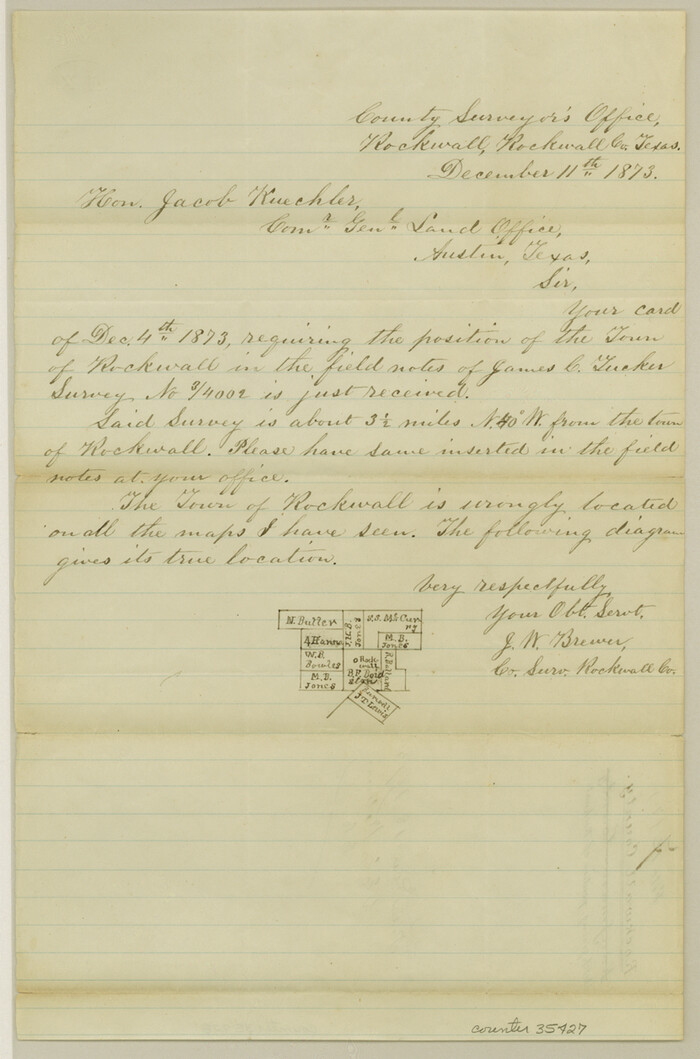
Rockwall County Sketch File 7

Print $4.00
Rockwall County Sketch File 7
1873
Size: 12.6 x 8.3 inches
35427
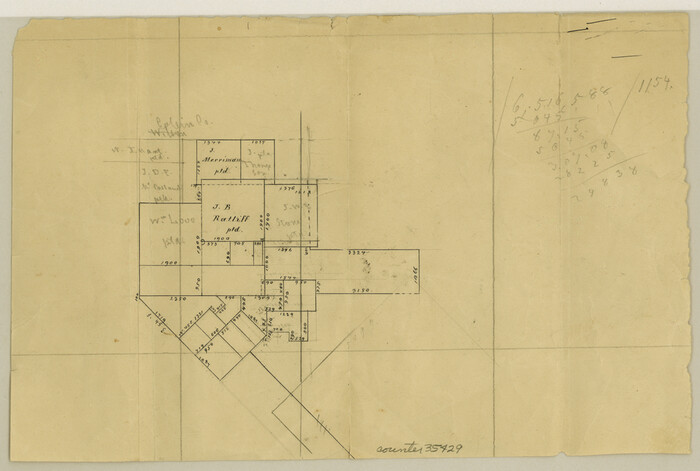
Rockwall County Sketch File 8

Print $4.00
Rockwall County Sketch File 8
Size: 7.1 x 10.6 inches
35429
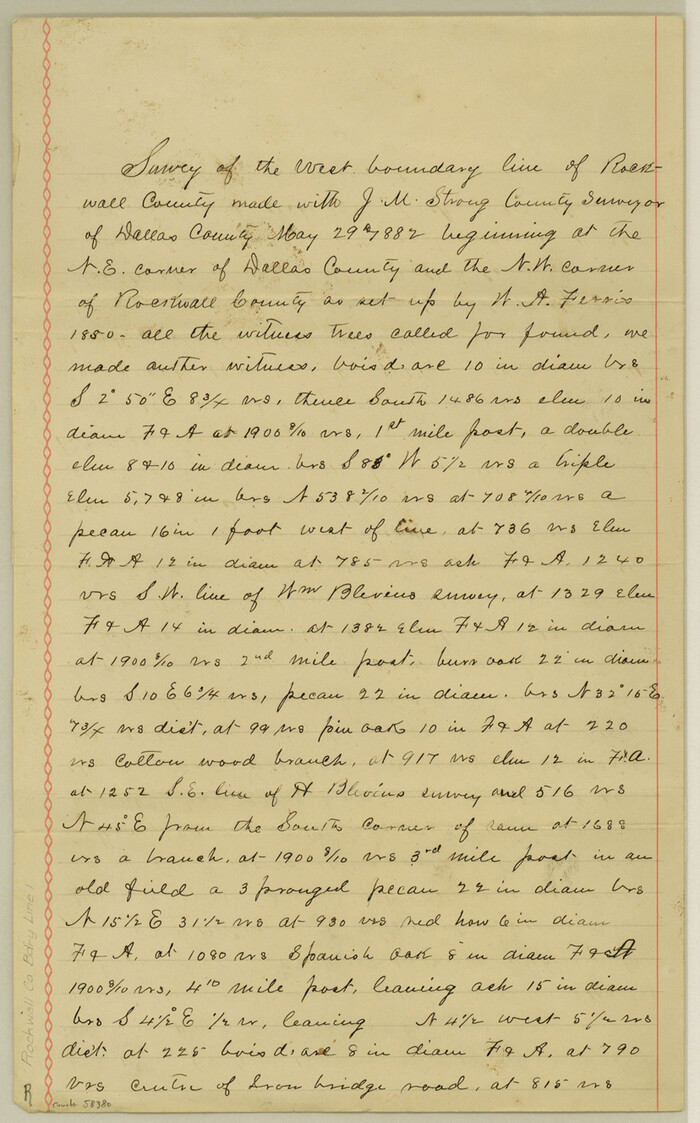
Rockwall County Boundary File 1

Print $10.00
- Digital $50.00
Rockwall County Boundary File 1
Size: 13.3 x 8.3 inches
58380
Rockwall County Boundary File 2


Print $12.00
- Digital $50.00
Rockwall County Boundary File 2
Size: 14.4 x 8.9 inches
58385
Rockwall County Boundary File 3


Print $22.00
- Digital $50.00
Rockwall County Boundary File 3
Size: 14.4 x 8.7 inches
58391
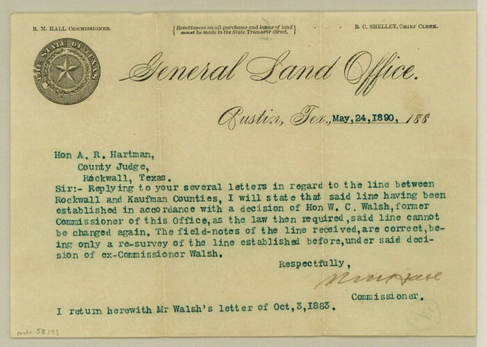
Rockwall County Boundary File 3a

Print $6.00
- Digital $50.00
Rockwall County Boundary File 3a
Size: 6.2 x 8.7 inches
58393
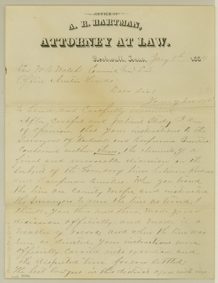
Rockwall County Boundary File 4

Print $6.00
- Digital $50.00
Rockwall County Boundary File 4
Size: 10.9 x 8.4 inches
58396
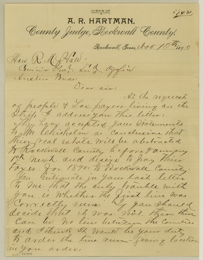
Rockwall County Boundary File 4a

Print $10.00
- Digital $50.00
Rockwall County Boundary File 4a
Size: 11.2 x 8.8 inches
58399
Rockwall County Boundary File 4b
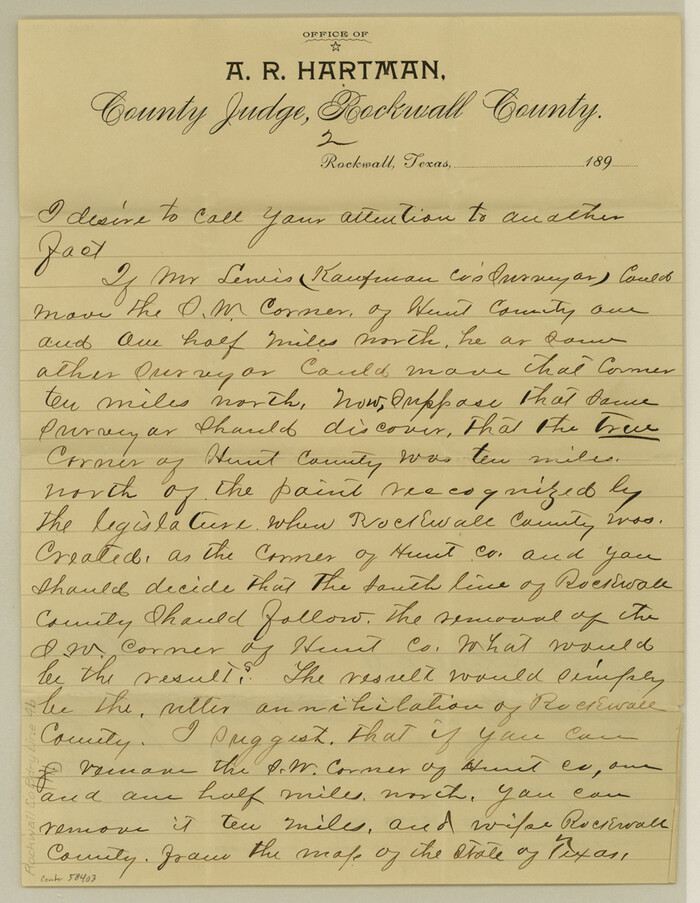

Print $10.00
- Digital $50.00
Rockwall County Boundary File 4b
Size: 11.4 x 8.8 inches
58403
Rockwall County Boundary File 5

Print $44.00
- Digital $50.00
Rockwall County Boundary File 5
Size: 4.1 x 9.2 inches
58407
Rockwall County Boundary File 6


Print $48.00
- Digital $50.00
Rockwall County Boundary File 6
Size: 14.0 x 8.6 inches
58420
Rockwall County Boundary File 7


Print $4.00
- Digital $50.00
Rockwall County Boundary File 7
Size: 11.5 x 8.8 inches
58426
Rockwall County Boundary File 8


Print $10.00
- Digital $50.00
Rockwall County Boundary File 8
Size: 14.4 x 8.8 inches
58428
Rockwall County Boundary File 9
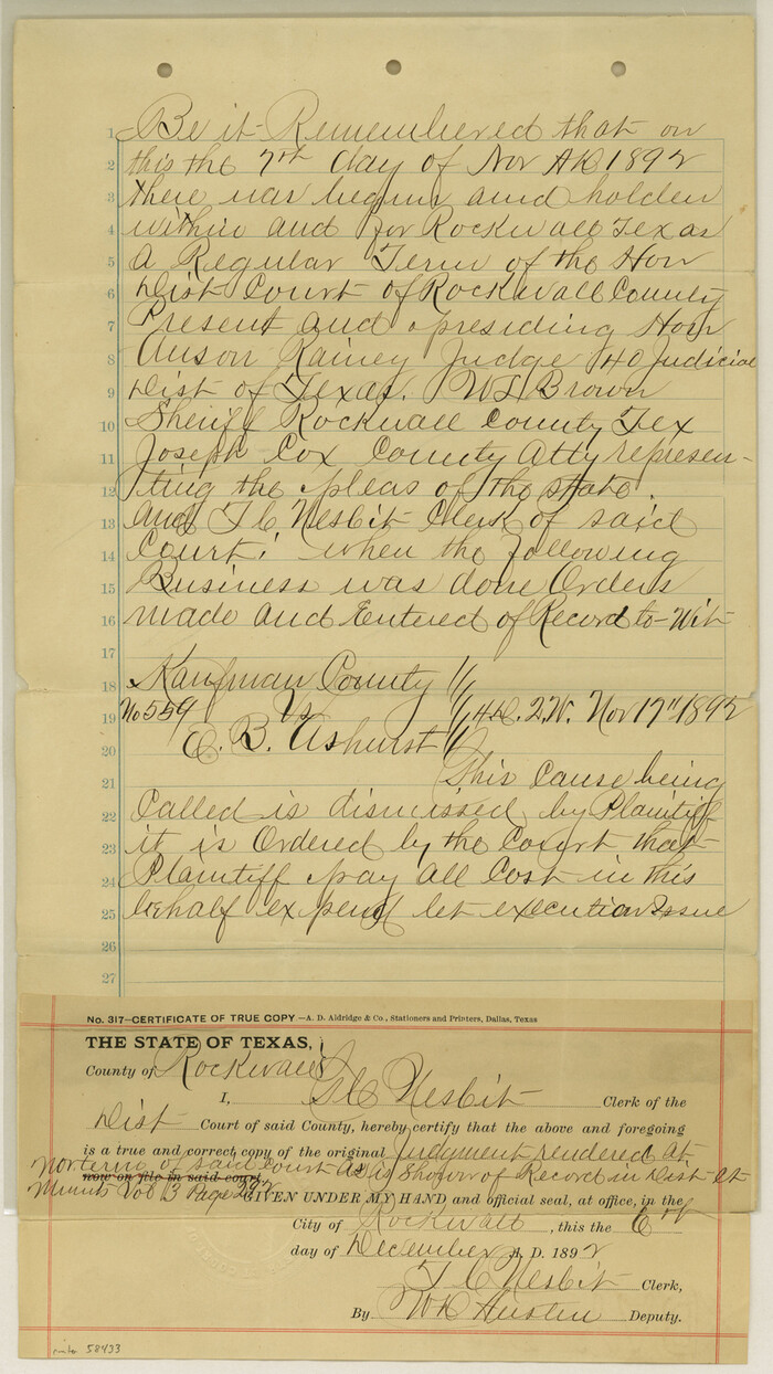

Print $8.00
- Digital $50.00
Rockwall County Boundary File 9
Size: 15.9 x 9.0 inches
58433
Rockwall County Sketch File 9


Print $20.00
Rockwall County Sketch File 9
-
Size
31.1 x 39.7 inches
-
Map/Doc
10590
Dallas County Sketch File 25


Print $20.00
- Digital $50.00
Dallas County Sketch File 25
-
Size
14.9 x 14.6 inches
-
Map/Doc
11288
Kaufman County Sketch File 10a


Print $20.00
- Digital $50.00
Kaufman County Sketch File 10a
1871
-
Size
18.3 x 14.6 inches
-
Map/Doc
11906
-
Creation Date
1871
Collin County Sketch File 9


Print $4.00
- Digital $50.00
Collin County Sketch File 9
1878
-
Size
8.3 x 10.1 inches
-
Map/Doc
18870
-
Creation Date
1878
Dallas County Sketch File 1


Print $4.00
- Digital $50.00
Dallas County Sketch File 1
1853
-
Size
7.2 x 7.0 inches
-
Map/Doc
20394
-
Creation Date
1853
Gray County Sketch File 9


Print $38.00
- Digital $50.00
Gray County Sketch File 9
1889
-
Size
11.2 x 8.4 inches
-
Map/Doc
24426
-
Creation Date
1889
Hunt County Sketch File 17


Print $8.00
- Digital $50.00
Hunt County Sketch File 17
1861
-
Size
10.6 x 8.2 inches
-
Map/Doc
27114
-
Creation Date
1861
Hunt County Sketch File 35


Print $4.00
- Digital $50.00
Hunt County Sketch File 35
-
Size
5.3 x 8.3 inches
-
Map/Doc
27148
Kaufman County Sketch File 11


Print $4.00
- Digital $50.00
Kaufman County Sketch File 11
1874
-
Size
10.2 x 8.4 inches
-
Map/Doc
28645
-
Creation Date
1874
Rockwall County Sketch File 1


Print $22.00
Rockwall County Sketch File 1
-
Size
14.5 x 16.1 inches
-
Map/Doc
35413
Rockwall County Sketch File 2


Print $6.00
Rockwall County Sketch File 2
-
Size
17.3 x 11.2 inches
-
Map/Doc
35415
Rockwall County Sketch File 3


Print $6.00
Rockwall County Sketch File 3
1851
-
Size
17.2 x 11.6 inches
-
Map/Doc
35417
-
Creation Date
1851
Rockwall County Sketch File 4


Print $9.00
Rockwall County Sketch File 4
1860
-
Size
7.7 x 12.1 inches
-
Map/Doc
35419
-
Creation Date
1860
Rockwall County Sketch File 5


Print $6.00
Rockwall County Sketch File 5
1861
-
Size
13.0 x 8.3 inches
-
Map/Doc
35422
-
Creation Date
1861
Rockwall County Sketch File 6


Print $4.00
- Digital $50.00
Rockwall County Sketch File 6
1862
-
Size
8.5 x 9.4 inches
-
Map/Doc
35425
-
Creation Date
1862
Rockwall County Sketch File 7


Print $4.00
Rockwall County Sketch File 7
1873
-
Size
12.6 x 8.3 inches
-
Map/Doc
35427
-
Creation Date
1873
Rockwall County Sketch File 8


Print $4.00
Rockwall County Sketch File 8
-
Size
7.1 x 10.6 inches
-
Map/Doc
35429
Rockwall County
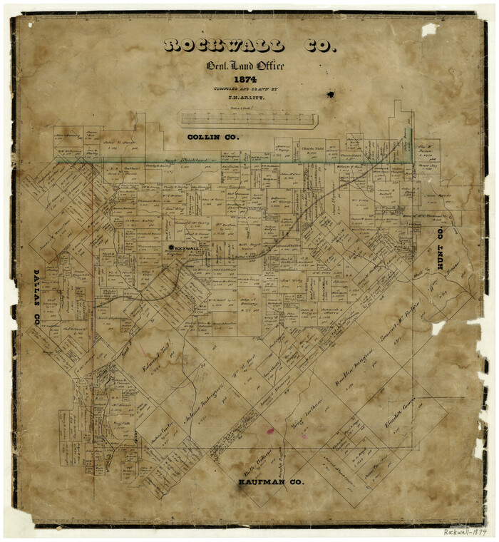

Print $20.00
- Digital $50.00
Rockwall County
1874
-
Size
20.3 x 18.6 inches
-
Map/Doc
3998
-
Creation Date
1874
Rockwall County Boundary File 1


Print $10.00
- Digital $50.00
Rockwall County Boundary File 1
-
Size
13.3 x 8.3 inches
-
Map/Doc
58380
Rockwall County Boundary File 2


Print $12.00
- Digital $50.00
Rockwall County Boundary File 2
-
Size
14.4 x 8.9 inches
-
Map/Doc
58385
Rockwall County Boundary File 3


Print $22.00
- Digital $50.00
Rockwall County Boundary File 3
-
Size
14.4 x 8.7 inches
-
Map/Doc
58391
Rockwall County Boundary File 3a


Print $6.00
- Digital $50.00
Rockwall County Boundary File 3a
-
Size
6.2 x 8.7 inches
-
Map/Doc
58393
Rockwall County Boundary File 4


Print $6.00
- Digital $50.00
Rockwall County Boundary File 4
-
Size
10.9 x 8.4 inches
-
Map/Doc
58396
Rockwall County Boundary File 4a


Print $10.00
- Digital $50.00
Rockwall County Boundary File 4a
-
Size
11.2 x 8.8 inches
-
Map/Doc
58399
Rockwall County Boundary File 4b


Print $10.00
- Digital $50.00
Rockwall County Boundary File 4b
-
Size
11.4 x 8.8 inches
-
Map/Doc
58403
Rockwall County Boundary File 5


Print $44.00
- Digital $50.00
Rockwall County Boundary File 5
-
Size
4.1 x 9.2 inches
-
Map/Doc
58407
Rockwall County Boundary File 6


Print $48.00
- Digital $50.00
Rockwall County Boundary File 6
-
Size
14.0 x 8.6 inches
-
Map/Doc
58420
Rockwall County Boundary File 7


Print $4.00
- Digital $50.00
Rockwall County Boundary File 7
-
Size
11.5 x 8.8 inches
-
Map/Doc
58426
Rockwall County Boundary File 8


Print $10.00
- Digital $50.00
Rockwall County Boundary File 8
-
Size
14.4 x 8.8 inches
-
Map/Doc
58428
Rockwall County Boundary File 9


Print $8.00
- Digital $50.00
Rockwall County Boundary File 9
-
Size
15.9 x 9.0 inches
-
Map/Doc
58433