
Concho County Sketch File 22

Crockett County Rolled Sketch 16
1880

Crockett County Sketch File 26
1880

Crockett County Sketch File 4a
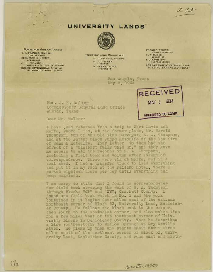
Crockett County Sketch File 71
1934
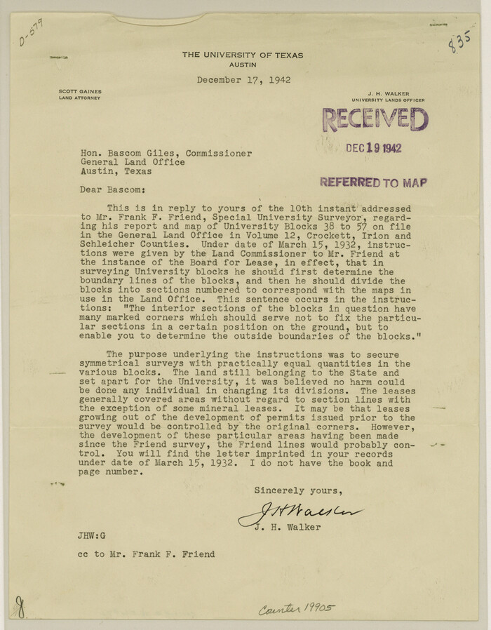
Crockett County Sketch File 84
1942
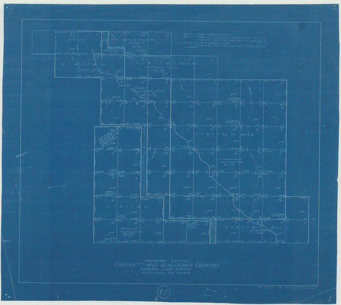
Crockett County Working Sketch 13
1916
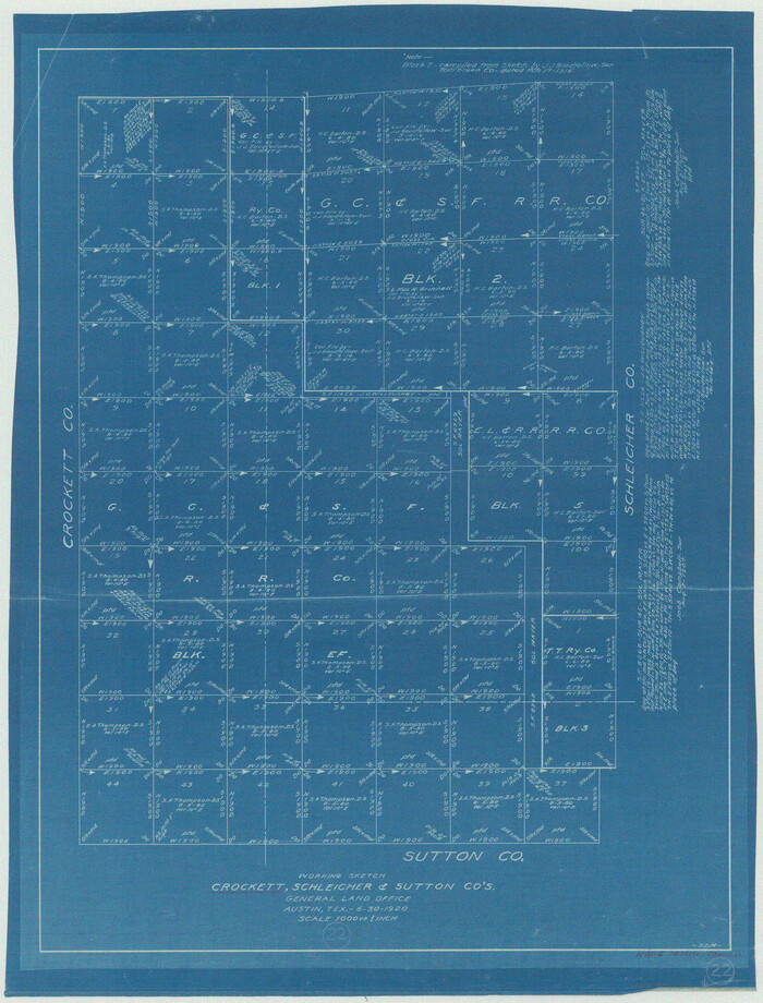
Crockett County Working Sketch 22
1920
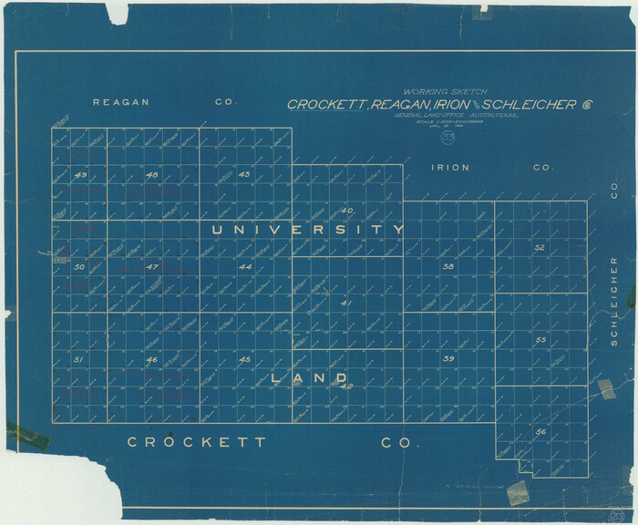
Crockett County Working Sketch 33
1926

Crockett County Working Sketch 62
1956

Crockett County Working Sketch 62
1956
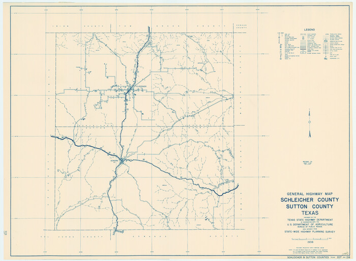
General Highway Map, Schleicher County, Sutton County, Texas
1940

General Highway Map, Schleicher County, Sutton County, Texas
1961

Kimble County Sketch File 16
1886
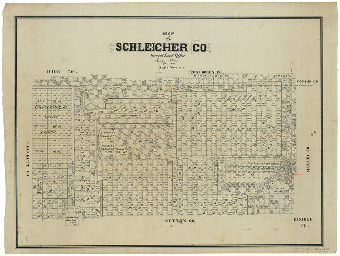
Map of Schleicher Co.
1891

Map of Schleicher County
1887

Menard County Rolled Sketch 6
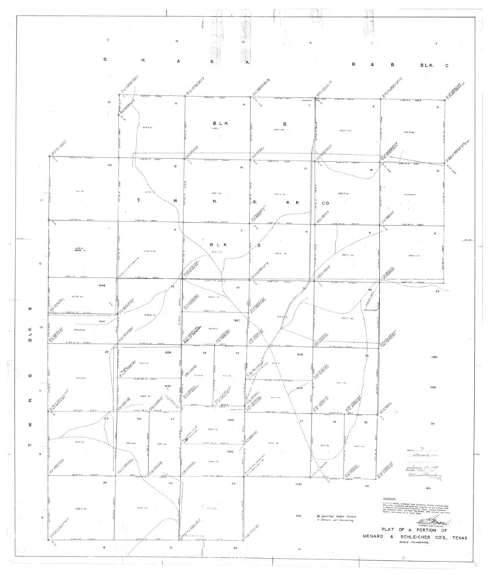
Menard County Rolled Sketch 7

Menard County Sketch File 18
1893

Menard County Sketch File 2
1881

Menard County Sketch File 24
1932

Menard County Sketch File 27
1943
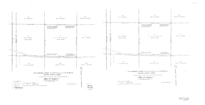
Menard County Sketch File 29
1962

Menard County Sketch File 5
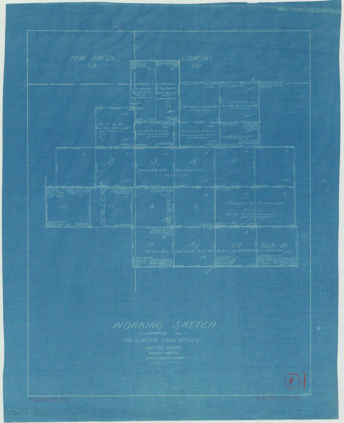
Menard County Working Sketch 4
1914
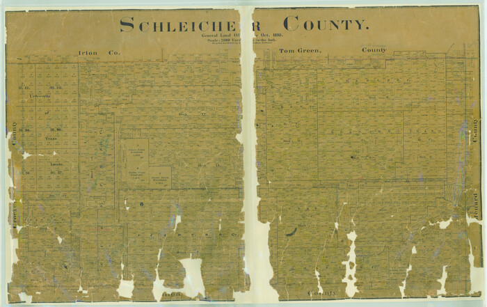
Schleicher County
1898
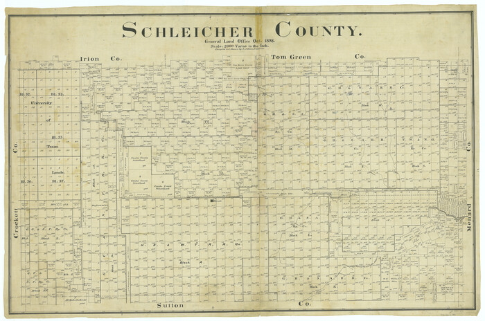
Schleicher County
1898
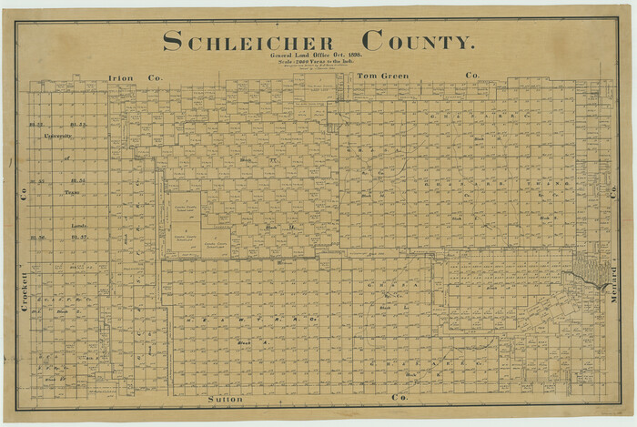
Schleicher County
1898

Concho County Sketch File 22
-
Size
24.9 x 18.1 inches
-
Map/Doc
11155

Crockett County Rolled Sketch 16
1880
-
Size
36.2 x 26.2 inches
-
Map/Doc
5581
-
Creation Date
1880

Crockett County Sketch File 26
1880
-
Size
8.7 x 7.2 inches
-
Map/Doc
19706
-
Creation Date
1880

Crockett County Sketch File 4a
-
Size
28.1 x 8.2 inches
-
Map/Doc
11215

Crockett County Sketch File 71
1934
-
Size
11.2 x 8.8 inches
-
Map/Doc
19858
-
Creation Date
1934

Crockett County Sketch File 84
1942
-
Size
11.4 x 8.9 inches
-
Map/Doc
19905
-
Creation Date
1942

Crockett County Working Sketch 13
1916
-
Size
16.6 x 18.5 inches
-
Map/Doc
68346
-
Creation Date
1916

Crockett County Working Sketch 22
1920
-
Size
25.6 x 19.5 inches
-
Map/Doc
68355
-
Creation Date
1920

Crockett County Working Sketch 33
1926
-
Size
27.0 x 32.8 inches
-
Map/Doc
68366
-
Creation Date
1926

Crockett County Working Sketch 62
1956
-
Size
35.4 x 66.1 inches
-
Map/Doc
63760
-
Creation Date
1956

Crockett County Working Sketch 62
1956
-
Size
121.8 x 37.1 inches
-
Map/Doc
68395
-
Creation Date
1956

General Highway Map, Schleicher County, Sutton County, Texas
1940
-
Size
18.3 x 25.0 inches
-
Map/Doc
79239
-
Creation Date
1940

General Highway Map, Schleicher County, Sutton County, Texas
1961
-
Size
18.2 x 24.3 inches
-
Map/Doc
79649
-
Creation Date
1961

Kimble County Sketch File 16
1886
-
Size
8.5 x 7.9 inches
-
Map/Doc
28942
-
Creation Date
1886

Map of Schleicher Co.
1891
-
Size
24.4 x 32.5 inches
-
Map/Doc
63024
-
Creation Date
1891

Map of Schleicher County
1887
-
Size
21.4 x 30.1 inches
-
Map/Doc
4021
-
Creation Date
1887

Menard County Rolled Sketch 6
-
Size
17.3 x 21.2 inches
-
Map/Doc
6755

Menard County Rolled Sketch 7
-
Size
43.2 x 37.3 inches
-
Map/Doc
9509

Menard County Sketch File 18
1893
-
Size
8.7 x 8.1 inches
-
Map/Doc
31516
-
Creation Date
1893

Menard County Sketch File 2
1881
-
Size
7.9 x 12.8 inches
-
Map/Doc
31486
-
Creation Date
1881

Menard County Sketch File 24
1932
-
Size
17.0 x 26.5 inches
-
Map/Doc
12077
-
Creation Date
1932

Menard County Sketch File 27
1943
-
Size
11.2 x 8.8 inches
-
Map/Doc
31564
-
Creation Date
1943

Menard County Sketch File 29
1962
-
Size
21.0 x 41.1 inches
-
Map/Doc
10543
-
Creation Date
1962

Menard County Sketch File 5
-
Size
5.6 x 43.3 inches
-
Map/Doc
10542

Menard County Working Sketch 4
1914
-
Size
19.8 x 16.2 inches
-
Map/Doc
70951
-
Creation Date
1914

Schleicher Co.
1893
-
Size
20.8 x 29.3 inches
-
Map/Doc
63025
-
Creation Date
1893

Schleicher County
1898
-
Size
33.7 x 53.5 inches
-
Map/Doc
16811
-
Creation Date
1898
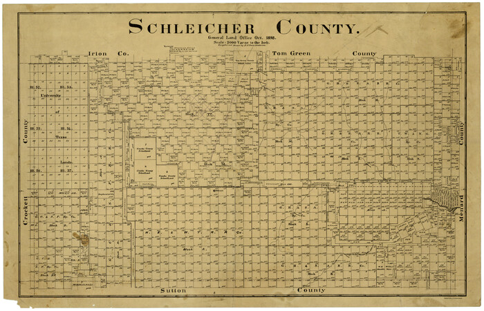
Schleicher County
1898
-
Size
23.1 x 36.3 inches
-
Map/Doc
615
-
Creation Date
1898

Schleicher County
1898
-
Size
35.1 x 52.9 inches
-
Map/Doc
63026
-
Creation Date
1898

Schleicher County
1898
-
Size
35.9 x 53.7 inches
-
Map/Doc
63027
-
Creation Date
1898