Tom Green County Sketch File 14

Print $20.00
- Digital $50.00
Tom Green County Sketch File 14
Size: 34.8 x 45.7 inches
10401
Tom Green County Sketch File 56

Print $20.00
- Digital $50.00
Tom Green County Sketch File 56
1883
Size: 34.5 x 47.5 inches
10404
Menard County Sketch File 5

Print $20.00
- Digital $50.00
Menard County Sketch File 5
Size: 5.6 x 43.3 inches
10542
Menard County Sketch File 29

Print $20.00
- Digital $50.00
Menard County Sketch File 29
1962
Size: 21.0 x 41.1 inches
10543
[Sketch showing surveys in Sutton and Val Verde Counties, Texas]
Print $20.00
- Digital $50.00
[Sketch showing surveys in Sutton and Val Verde Counties, Texas]
1880
Size: 28.0 x 14.5 inches
10779
Concho County Sketch File 22

Print $20.00
- Digital $50.00
Concho County Sketch File 22
Size: 24.9 x 18.1 inches
11155
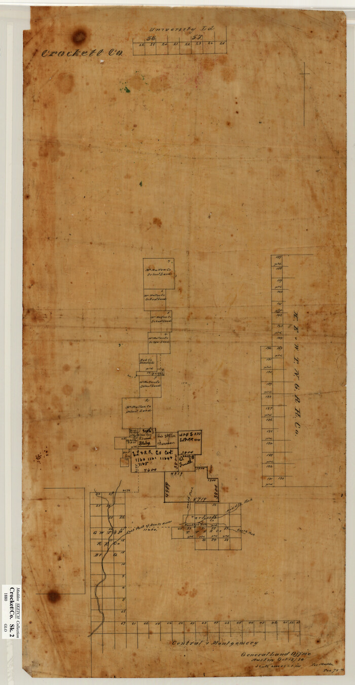
Crockett County Sketch File 4a

Print $20.00
- Digital $50.00
Crockett County Sketch File 4a
Size: 28.1 x 8.2 inches
11215
Menard County Sketch File 24

Print $20.00
- Digital $50.00
Menard County Sketch File 24
1932
Size: 17.0 x 26.5 inches
12077
Schleicher County Sketch File 3

Print $20.00
- Digital $50.00
Schleicher County Sketch File 3
Size: 28.1 x 19.9 inches
12295
Schleicher County Sketch File 4

Print $20.00
- Digital $50.00
Schleicher County Sketch File 4
Size: 18.8 x 16.1 inches
12296
Schleicher County Sketch File 11

Print $20.00
- Digital $50.00
Schleicher County Sketch File 11
1912
Size: 21.5 x 30.5 inches
12298
Schleicher County Sketch File 17

Print $20.00
- Digital $50.00
Schleicher County Sketch File 17
Size: 23.4 x 17.8 inches
12299
Schleicher County Sketch File 18

Print $20.00
- Digital $50.00
Schleicher County Sketch File 18
Size: 15.1 x 25.0 inches
12300
Schleicher County Sketch File 20

Print $20.00
- Digital $50.00
Schleicher County Sketch File 20
1936
Size: 16.8 x 17.4 inches
12301
Schleicher County Sketch File 23

Print $20.00
- Digital $50.00
Schleicher County Sketch File 23
Size: 29.1 x 24.6 inches
12302
Schleicher County Sketch File 24a

Print $20.00
- Digital $50.00
Schleicher County Sketch File 24a
Size: 16.1 x 16.4 inches
12303
Schleicher County Sketch File 25

Print $20.00
- Digital $50.00
Schleicher County Sketch File 25
1937
Size: 24.1 x 17.5 inches
12304
Schleicher County Sketch File 27

Print $20.00
- Digital $50.00
Schleicher County Sketch File 27
Size: 23.0 x 19.2 inches
12305
Schleicher County Sketch File 29

Print $44.00
- Digital $50.00
Schleicher County Sketch File 29
1940
Size: 31.9 x 23.7 inches
12306
Schleicher County Sketch File 34

Print $20.00
- Digital $50.00
Schleicher County Sketch File 34
1949
Size: 18.7 x 31.7 inches
12307
Schleicher County Sketch File 35

Print $20.00
- Digital $50.00
Schleicher County Sketch File 35
1951
Size: 13.8 x 19.4 inches
12308
Schleicher County Sketch File 36

Print $20.00
- Digital $50.00
Schleicher County Sketch File 36
1951
Size: 15.2 x 21.7 inches
12309
Schleicher County Sketch File 37

Print $20.00
- Digital $50.00
Schleicher County Sketch File 37
1952
Size: 24.9 x 29.3 inches
12310
Schleicher County Sketch File 38

Print $20.00
- Digital $50.00
Schleicher County Sketch File 38
Size: 19.1 x 21.7 inches
12311
Sutton County Sketch File 27B

Print $20.00
- Digital $50.00
Sutton County Sketch File 27B
Size: 19.1 x 14.6 inches
12384
Tom Green County Sketch File 46 1/2

Print $40.00
- Digital $50.00
Tom Green County Sketch File 46 1/2
1882
Size: 12.7 x 19.6 inches
12440
Schleicher County

Print $40.00
- Digital $50.00
Schleicher County
1898
Size: 33.7 x 53.5 inches
16811
Crockett County Sketch File 26

Print $58.00
- Digital $50.00
Crockett County Sketch File 26
1880
Size: 8.7 x 7.2 inches
19706
Crockett County Sketch File 71

Print $8.00
- Digital $50.00
Crockett County Sketch File 71
1934
Size: 11.2 x 8.8 inches
19858
Crockett County Sketch File 84

Print $6.00
- Digital $50.00
Crockett County Sketch File 84
1942
Size: 11.4 x 8.9 inches
19905
Tom Green County Sketch File 14
Print $20.00
- Digital $50.00
Tom Green County Sketch File 14
-
Size
34.8 x 45.7 inches
-
Map/Doc
10401
Tom Green County Sketch File 56
Print $20.00
- Digital $50.00
Tom Green County Sketch File 56
1883
-
Size
34.5 x 47.5 inches
-
Map/Doc
10404
-
Creation Date
1883
Menard County Sketch File 5
Print $20.00
- Digital $50.00
Menard County Sketch File 5
-
Size
5.6 x 43.3 inches
-
Map/Doc
10542
Menard County Sketch File 29
Print $20.00
- Digital $50.00
Menard County Sketch File 29
1962
-
Size
21.0 x 41.1 inches
-
Map/Doc
10543
-
Creation Date
1962
[Sketch showing surveys in Sutton and Val Verde Counties, Texas]
Print $20.00
- Digital $50.00
[Sketch showing surveys in Sutton and Val Verde Counties, Texas]
1880
-
Size
28.0 x 14.5 inches
-
Map/Doc
10779
-
Creation Date
1880
Concho County Sketch File 22
Print $20.00
- Digital $50.00
Concho County Sketch File 22
-
Size
24.9 x 18.1 inches
-
Map/Doc
11155
Crockett County Sketch File 4a
Print $20.00
- Digital $50.00
Crockett County Sketch File 4a
-
Size
28.1 x 8.2 inches
-
Map/Doc
11215
Menard County Sketch File 24
Print $20.00
- Digital $50.00
Menard County Sketch File 24
1932
-
Size
17.0 x 26.5 inches
-
Map/Doc
12077
-
Creation Date
1932
Schleicher County Sketch File 3
Print $20.00
- Digital $50.00
Schleicher County Sketch File 3
-
Size
28.1 x 19.9 inches
-
Map/Doc
12295
Schleicher County Sketch File 4
Print $20.00
- Digital $50.00
Schleicher County Sketch File 4
-
Size
18.8 x 16.1 inches
-
Map/Doc
12296
Schleicher County Sketch File 11
Print $20.00
- Digital $50.00
Schleicher County Sketch File 11
1912
-
Size
21.5 x 30.5 inches
-
Map/Doc
12298
-
Creation Date
1912
Schleicher County Sketch File 17
Print $20.00
- Digital $50.00
Schleicher County Sketch File 17
-
Size
23.4 x 17.8 inches
-
Map/Doc
12299
Schleicher County Sketch File 18
Print $20.00
- Digital $50.00
Schleicher County Sketch File 18
-
Size
15.1 x 25.0 inches
-
Map/Doc
12300
Schleicher County Sketch File 20
Print $20.00
- Digital $50.00
Schleicher County Sketch File 20
1936
-
Size
16.8 x 17.4 inches
-
Map/Doc
12301
-
Creation Date
1936
Schleicher County Sketch File 23
Print $20.00
- Digital $50.00
Schleicher County Sketch File 23
-
Size
29.1 x 24.6 inches
-
Map/Doc
12302
Schleicher County Sketch File 24a
Print $20.00
- Digital $50.00
Schleicher County Sketch File 24a
-
Size
16.1 x 16.4 inches
-
Map/Doc
12303
Schleicher County Sketch File 25
Print $20.00
- Digital $50.00
Schleicher County Sketch File 25
1937
-
Size
24.1 x 17.5 inches
-
Map/Doc
12304
-
Creation Date
1937
Schleicher County Sketch File 27
Print $20.00
- Digital $50.00
Schleicher County Sketch File 27
-
Size
23.0 x 19.2 inches
-
Map/Doc
12305
Schleicher County Sketch File 29
Print $44.00
- Digital $50.00
Schleicher County Sketch File 29
1940
-
Size
31.9 x 23.7 inches
-
Map/Doc
12306
-
Creation Date
1940
Schleicher County Sketch File 34
Print $20.00
- Digital $50.00
Schleicher County Sketch File 34
1949
-
Size
18.7 x 31.7 inches
-
Map/Doc
12307
-
Creation Date
1949
Schleicher County Sketch File 35
Print $20.00
- Digital $50.00
Schleicher County Sketch File 35
1951
-
Size
13.8 x 19.4 inches
-
Map/Doc
12308
-
Creation Date
1951
Schleicher County Sketch File 36
Print $20.00
- Digital $50.00
Schleicher County Sketch File 36
1951
-
Size
15.2 x 21.7 inches
-
Map/Doc
12309
-
Creation Date
1951
Schleicher County Sketch File 37
Print $20.00
- Digital $50.00
Schleicher County Sketch File 37
1952
-
Size
24.9 x 29.3 inches
-
Map/Doc
12310
-
Creation Date
1952
Schleicher County Sketch File 38
Print $20.00
- Digital $50.00
Schleicher County Sketch File 38
-
Size
19.1 x 21.7 inches
-
Map/Doc
12311
Sutton County Sketch File 27B
Print $20.00
- Digital $50.00
Sutton County Sketch File 27B
-
Size
19.1 x 14.6 inches
-
Map/Doc
12384
Tom Green County Sketch File 46 1/2
Print $40.00
- Digital $50.00
Tom Green County Sketch File 46 1/2
1882
-
Size
12.7 x 19.6 inches
-
Map/Doc
12440
-
Creation Date
1882
Schleicher County
Print $40.00
- Digital $50.00
Schleicher County
1898
-
Size
33.7 x 53.5 inches
-
Map/Doc
16811
-
Creation Date
1898
Crockett County Sketch File 26
Print $58.00
- Digital $50.00
Crockett County Sketch File 26
1880
-
Size
8.7 x 7.2 inches
-
Map/Doc
19706
-
Creation Date
1880
Crockett County Sketch File 71
Print $8.00
- Digital $50.00
Crockett County Sketch File 71
1934
-
Size
11.2 x 8.8 inches
-
Map/Doc
19858
-
Creation Date
1934
Crockett County Sketch File 84
Print $6.00
- Digital $50.00
Crockett County Sketch File 84
1942
-
Size
11.4 x 8.9 inches
-
Map/Doc
19905
-
Creation Date
1942