Ellis County Sketch File 2


Print $11.00
- Digital $50.00
Ellis County Sketch File 2
1858
Size: 8.4 x 9.7 inches
21827
English Field Notes of the Spanish Archives - Book 3


English Field Notes of the Spanish Archives - Book 3
1835
96529
English Field Notes of the Spanish Archives - Books TJG, DB, A, A2, B, B2, WB, and WR


English Field Notes of the Spanish Archives - Books TJG, DB, A, A2, B, B2, WB, and WR
1835
96553
General Highway Map, Shelby County, Texas


Print $20.00
General Highway Map, Shelby County, Texas
1940
Size: 18.3 x 24.8 inches
79242
General Highway Map, Shelby County, Texas
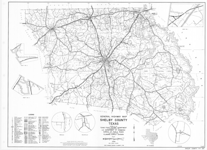

Print $20.00
General Highway Map, Shelby County, Texas
1961
Size: 18.1 x 24.9 inches
79652
List of surveys in Shelby County

List of surveys in Shelby County
1849
Size: 13.2 x 8.2 inches
62443
Map Shelby County


Print $20.00
- Digital $50.00
Map Shelby County
1852
Size: 20.1 x 31.5 inches
4029
Map of Panama, Texas


Print $5.00
- Digital $50.00
Map of Panama, Texas
1908
Size: 10.4 x 15.6 inches
94104
Map of Shelby County


Print $20.00
- Digital $50.00
Map of Shelby County
1863
Size: 18.6 x 22.3 inches
4031
Map of Shelby County
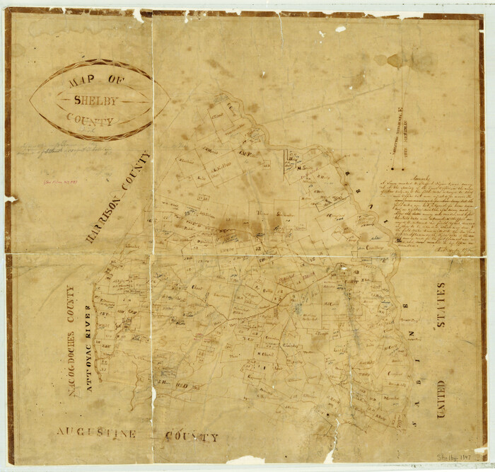

Print $20.00
- Digital $50.00
Map of Shelby County
1839
Size: 24.5 x 25.7 inches
4032
Map of Shelby District
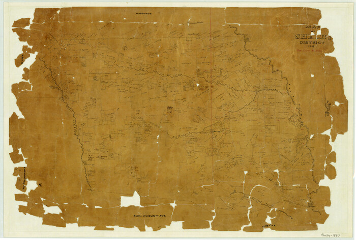

Print $20.00
- Digital $50.00
Map of Shelby District
1847
Size: 17.1 x 25.4 inches
4033
Map of the River Sabine from its Mouth on the Gulf of Mexico in the Sea to Logan's Ferry in Latitude 31° 58' 25" North


Print $20.00
Map of the River Sabine from its Mouth on the Gulf of Mexico in the Sea to Logan's Ferry in Latitude 31° 58' 25" North
1840
Size: 35.5 x 9.1 inches
79294
Map of the River Sabine from its mouth on the Gulf of Mexico in the sea to Logan's Ferry in latitude 31° 58' 24" north


Print $20.00
- Digital $50.00
Map of the River Sabine from its mouth on the Gulf of Mexico in the sea to Logan's Ferry in latitude 31° 58' 24" north
1842
Size: 18.3 x 9.3 inches
65383
Map of the River Sabine from its mouth on the Gulf of Mexico in the sea to Logan's Ferry in latitude 31° 58' 24" north


Print $20.00
- Digital $50.00
Map of the River Sabine from its mouth on the Gulf of Mexico in the sea to Logan's Ferry in latitude 31° 58' 24" north
1842
Size: 18.5 x 9.0 inches
65384
Panola County Sketch File 14


Print $4.00
- Digital $50.00
Panola County Sketch File 14
1873
Size: 12.2 x 5.2 inches
33472
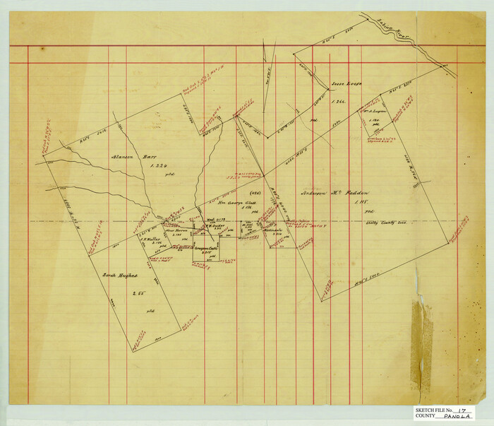
Panola County Sketch File 17

Print $20.00
- Digital $50.00
Panola County Sketch File 17
Size: 15.2 x 17.7 inches
12137
Panola County Sketch File 5


Print $4.00
- Digital $50.00
Panola County Sketch File 5
1860
Size: 8.3 x 5.6 inches
33453
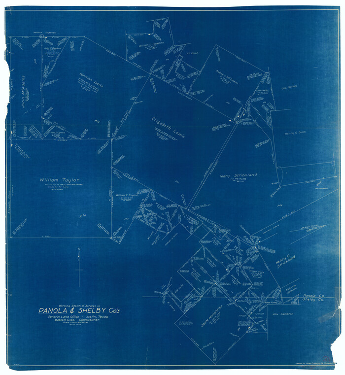
Panola County Working Sketch 16

Print $20.00
- Digital $50.00
Panola County Working Sketch 16
1945
71425
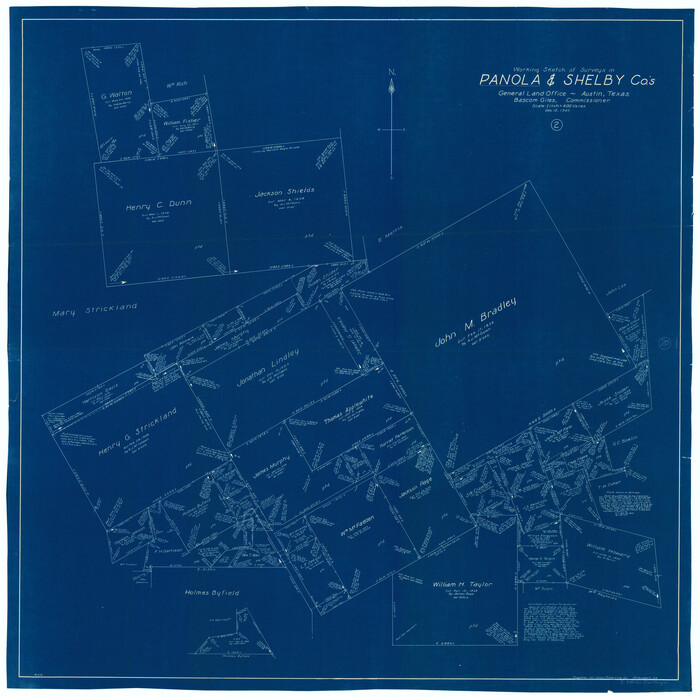
Panola County Working Sketch 20

Print $20.00
- Digital $50.00
Panola County Working Sketch 20
1945
71429
Panola County Working Sketch 26


Print $20.00
- Digital $50.00
Panola County Working Sketch 26
1958
71435
Panola County Working Sketch 31


Print $20.00
- Digital $50.00
Panola County Working Sketch 31
1981
71440
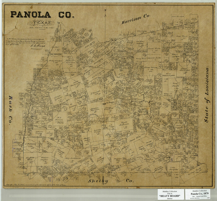
Panola County, Texas

Print $20.00
- Digital $50.00
Panola County, Texas
1879
Size: 18.0 x 19.4 inches
654
Reconnoissance of Sabine River and Valley
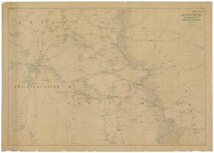

Print $20.00
Reconnoissance of Sabine River and Valley
1863
Size: 30.4 x 42.5 inches
97498
Reconnoissance of Sabine River and Valley


Print $20.00
Reconnoissance of Sabine River and Valley
1863
Size: 30.2 x 42.3 inches
97499
Right of Way and Track Map Houston & Texas Central R.R. operated by the T. and N. O. R.R. Co., Fort Worth Branch


Print $40.00
- Digital $50.00
Right of Way and Track Map Houston & Texas Central R.R. operated by the T. and N. O. R.R. Co., Fort Worth Branch
1918
Size: 31.1 x 57.4 inches
64540
Rusk County Sketch File 19a


Print $4.00
Rusk County Sketch File 19a
1860
Size: 8.2 x 6.6 inches
35528
Sabine County Rolled Sketch 2
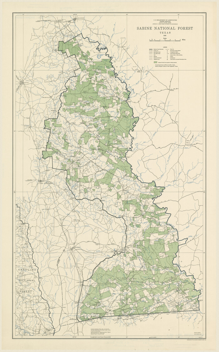

Print $20.00
- Digital $50.00
Sabine County Rolled Sketch 2
1949
Size: 33.3 x 20.8 inches
7551
Sabine County, Texas


Print $20.00
- Digital $50.00
Sabine County, Texas
1879
Size: 22.1 x 18.6 inches
751
San Augustine County Sketch File 7


Print $4.00
San Augustine County Sketch File 7
1858
Size: 7.0 x 8.2 inches
35646
Ellis County Sketch File 2


Print $11.00
- Digital $50.00
Ellis County Sketch File 2
1858
-
Size
8.4 x 9.7 inches
-
Map/Doc
21827
-
Creation Date
1858
English Field Notes of the Spanish Archives - Book 3


English Field Notes of the Spanish Archives - Book 3
1835
-
Map/Doc
96529
-
Creation Date
1835
English Field Notes of the Spanish Archives - Books TJG, DB, A, A2, B, B2, WB, and WR


English Field Notes of the Spanish Archives - Books TJG, DB, A, A2, B, B2, WB, and WR
1835
-
Map/Doc
96553
-
Creation Date
1835
General Highway Map, Shelby County, Texas


Print $20.00
General Highway Map, Shelby County, Texas
1940
-
Size
18.3 x 24.8 inches
-
Map/Doc
79242
-
Creation Date
1940
General Highway Map, Shelby County, Texas


Print $20.00
General Highway Map, Shelby County, Texas
1961
-
Size
18.1 x 24.9 inches
-
Map/Doc
79652
-
Creation Date
1961
List of surveys in Shelby County


Print $236.00
List of surveys in Shelby County
1849
-
Size
13.2 x 8.2 inches
-
Map/Doc
62443
-
Creation Date
1849
Map Shelby County


Print $20.00
- Digital $50.00
Map Shelby County
1852
-
Size
20.1 x 31.5 inches
-
Map/Doc
4029
-
Creation Date
1852
Map of Panama, Texas


Print $5.00
- Digital $50.00
Map of Panama, Texas
1908
-
Size
10.4 x 15.6 inches
-
Map/Doc
94104
-
Creation Date
1908
Map of Shelby County


Print $20.00
- Digital $50.00
Map of Shelby County
1863
-
Size
18.6 x 22.3 inches
-
Map/Doc
4031
-
Creation Date
1863
Map of Shelby County


Print $20.00
- Digital $50.00
Map of Shelby County
1839
-
Size
24.5 x 25.7 inches
-
Map/Doc
4032
-
Creation Date
1839
Map of Shelby District


Print $20.00
- Digital $50.00
Map of Shelby District
1847
-
Size
17.1 x 25.4 inches
-
Map/Doc
4033
-
Creation Date
1847
Map of the River Sabine from its Mouth on the Gulf of Mexico in the Sea to Logan's Ferry in Latitude 31° 58' 25" North


Print $20.00
Map of the River Sabine from its Mouth on the Gulf of Mexico in the Sea to Logan's Ferry in Latitude 31° 58' 25" North
1840
-
Size
35.5 x 9.1 inches
-
Map/Doc
79294
-
Creation Date
1840
Map of the River Sabine from its mouth on the Gulf of Mexico in the sea to Logan's Ferry in latitude 31° 58' 24" north


Print $20.00
- Digital $50.00
Map of the River Sabine from its mouth on the Gulf of Mexico in the sea to Logan's Ferry in latitude 31° 58' 24" north
1842
-
Size
18.3 x 9.3 inches
-
Map/Doc
65383
-
Creation Date
1842
Map of the River Sabine from its mouth on the Gulf of Mexico in the sea to Logan's Ferry in latitude 31° 58' 24" north


Print $20.00
- Digital $50.00
Map of the River Sabine from its mouth on the Gulf of Mexico in the sea to Logan's Ferry in latitude 31° 58' 24" north
1842
-
Size
18.5 x 9.0 inches
-
Map/Doc
65384
-
Creation Date
1842
Panola County Sketch File 14


Print $4.00
- Digital $50.00
Panola County Sketch File 14
1873
-
Size
12.2 x 5.2 inches
-
Map/Doc
33472
-
Creation Date
1873
Panola County Sketch File 17


Print $20.00
- Digital $50.00
Panola County Sketch File 17
-
Size
15.2 x 17.7 inches
-
Map/Doc
12137
Panola County Sketch File 5


Print $4.00
- Digital $50.00
Panola County Sketch File 5
1860
-
Size
8.3 x 5.6 inches
-
Map/Doc
33453
-
Creation Date
1860
Panola County Working Sketch 16


Print $20.00
- Digital $50.00
Panola County Working Sketch 16
1945
-
Map/Doc
71425
-
Creation Date
1945
Panola County Working Sketch 20


Print $20.00
- Digital $50.00
Panola County Working Sketch 20
1945
-
Map/Doc
71429
-
Creation Date
1945
Panola County Working Sketch 26


Print $20.00
- Digital $50.00
Panola County Working Sketch 26
1958
-
Map/Doc
71435
-
Creation Date
1958
Panola County Working Sketch 31


Print $20.00
- Digital $50.00
Panola County Working Sketch 31
1981
-
Map/Doc
71440
-
Creation Date
1981
Panola County, Texas


Print $20.00
- Digital $50.00
Panola County, Texas
1879
-
Size
18.0 x 19.4 inches
-
Map/Doc
654
-
Creation Date
1879
Reconnoissance of Sabine River and Valley


Print $20.00
Reconnoissance of Sabine River and Valley
1863
-
Size
30.4 x 42.5 inches
-
Map/Doc
97498
-
Creation Date
1863
Reconnoissance of Sabine River and Valley


Print $20.00
Reconnoissance of Sabine River and Valley
1863
-
Size
30.2 x 42.3 inches
-
Map/Doc
97499
-
Creation Date
1863
Right of Way and Track Map Houston & Texas Central R.R. operated by the T. and N. O. R.R. Co., Fort Worth Branch


Print $40.00
- Digital $50.00
Right of Way and Track Map Houston & Texas Central R.R. operated by the T. and N. O. R.R. Co., Fort Worth Branch
1918
-
Size
31.1 x 57.4 inches
-
Map/Doc
64540
-
Creation Date
1918
Rusk County Sketch File 19
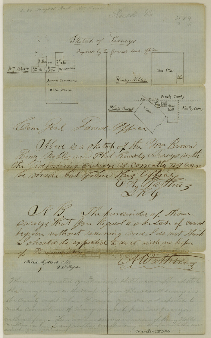

Print $4.00
Rusk County Sketch File 19
-
Size
13.0 x 8.2 inches
-
Map/Doc
35526
Rusk County Sketch File 19a


Print $4.00
Rusk County Sketch File 19a
1860
-
Size
8.2 x 6.6 inches
-
Map/Doc
35528
-
Creation Date
1860
Sabine County Rolled Sketch 2


Print $20.00
- Digital $50.00
Sabine County Rolled Sketch 2
1949
-
Size
33.3 x 20.8 inches
-
Map/Doc
7551
-
Creation Date
1949
Sabine County, Texas


Print $20.00
- Digital $50.00
Sabine County, Texas
1879
-
Size
22.1 x 18.6 inches
-
Map/Doc
751
-
Creation Date
1879
San Augustine County Sketch File 7


Print $4.00
San Augustine County Sketch File 7
1858
-
Size
7.0 x 8.2 inches
-
Map/Doc
35646
-
Creation Date
1858