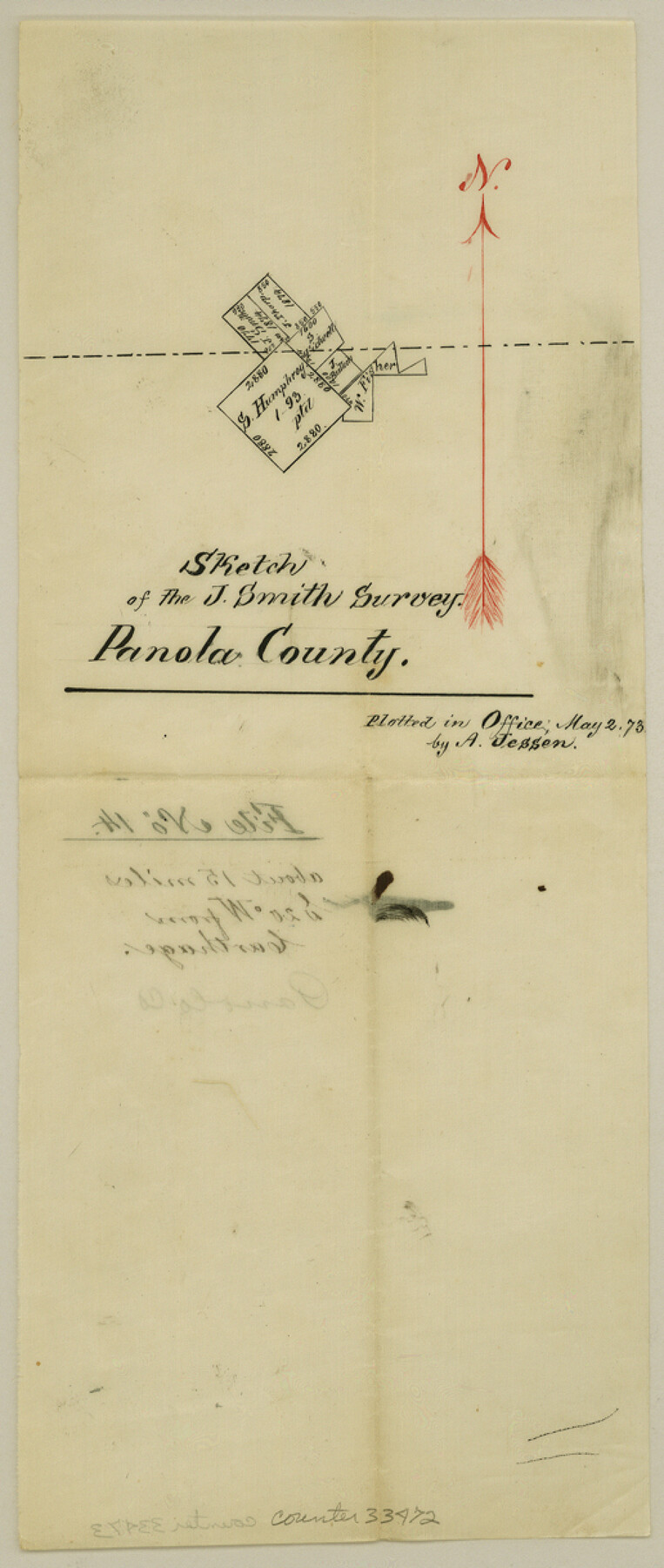
Panola County Sketch File 14
[Sketch around the J. Smith survey]
-
Map/Doc
33472
-
Collection
General Map Collection
-
Object Dates
5/2/1873 (Creation Date)
5/2/1873 (File Date)
-
People and Organizations
A. Jessen (Surveyor/Engineer)
-
Counties
Panola Shelby
-
Subjects
Surveying Sketch File
-
Height x Width
12.2 x 5.2 inches
31.0 x 13.2 cm
-
Medium
paper, manuscript
Part of: General Map Collection
Jones County Working Sketch 9

Print $20.00
- Digital $50.00
Jones County Working Sketch 9
1980
Size 17.4 x 22.3 inches
Map/Doc 66647
Montague County Rolled Sketch 4

Print $20.00
- Digital $50.00
Montague County Rolled Sketch 4
1940
Size 37.8 x 20.5 inches
Map/Doc 6788
Flight Mission No. BRA-8M, Frame 25, Jefferson County

Print $20.00
- Digital $50.00
Flight Mission No. BRA-8M, Frame 25, Jefferson County
1953
Size 18.4 x 22.5 inches
Map/Doc 85580
Presidio County Working Sketch 30

Print $20.00
- Digital $50.00
Presidio County Working Sketch 30
1946
Size 32.3 x 40.9 inches
Map/Doc 71707
Madison County Working Sketch 7

Print $20.00
- Digital $50.00
Madison County Working Sketch 7
1982
Size 12.7 x 17.4 inches
Map/Doc 70769
Angelina County Sketch File 10

Print $40.00
- Digital $50.00
Angelina County Sketch File 10
1859
Size 17.2 x 32.3 inches
Map/Doc 10814
Bandera County Sketch File 37

Print $24.00
Bandera County Sketch File 37
Size 11.0 x 8.5 inches
Map/Doc 97248
Flight Mission No. DQN-2K, Frame 64, Calhoun County

Print $20.00
- Digital $50.00
Flight Mission No. DQN-2K, Frame 64, Calhoun County
1953
Size 18.6 x 22.3 inches
Map/Doc 84256
Montague County Sketch File 12

Print $4.00
- Digital $50.00
Montague County Sketch File 12
Size 11.4 x 8.2 inches
Map/Doc 31736
Plat of South 1/2 of Colorado River Channel in McCulloch Co., Texas from Concho County line down river 34 mile 315 varas

Print $40.00
- Digital $50.00
Plat of South 1/2 of Colorado River Channel in McCulloch Co., Texas from Concho County line down river 34 mile 315 varas
1918
Size 41.1 x 144.3 inches
Map/Doc 76044
Milam County Rolled Sketch 5

Print $20.00
- Digital $50.00
Milam County Rolled Sketch 5
Size 27.9 x 39.8 inches
Map/Doc 6777
Upshur County Working Sketch 12

Print $20.00
- Digital $50.00
Upshur County Working Sketch 12
1984
Size 31.9 x 29.6 inches
Map/Doc 69569
You may also like
Sutton County Rolled Sketch 63

Print $40.00
- Digital $50.00
Sutton County Rolled Sketch 63
Size 77.0 x 45.2 inches
Map/Doc 9979
Flight Mission No. CRC-3R, Frame 101, Chambers County

Print $20.00
- Digital $50.00
Flight Mission No. CRC-3R, Frame 101, Chambers County
1956
Size 18.7 x 22.4 inches
Map/Doc 84839
Eastland County Working Sketch 19

Print $20.00
- Digital $50.00
Eastland County Working Sketch 19
1920
Size 15.7 x 16.4 inches
Map/Doc 68800
Texas State Boundary Line 3

Print $90.00
- Digital $50.00
Texas State Boundary Line 3
Size 10.9 x 8.2 inches
Map/Doc 74904
Roberts County Working Sketch 41

Print $20.00
- Digital $50.00
Roberts County Working Sketch 41
1978
Size 26.6 x 22.6 inches
Map/Doc 63567
Ochiltree County Boundary File 1b

Print $16.00
- Digital $50.00
Ochiltree County Boundary File 1b
Size 8.6 x 8.4 inches
Map/Doc 57666
General Highway Map, Tarrant County, Texas

Print $20.00
General Highway Map, Tarrant County, Texas
1961
Size 18.3 x 25.1 inches
Map/Doc 79664

General Highway Map, Kleberg County, Texas

Print $20.00
General Highway Map, Kleberg County, Texas
1961
Size 24.8 x 18.3 inches
Map/Doc 79558
Flight Mission No. CUG-3P, Frame 90, Kleberg County

Print $20.00
- Digital $50.00
Flight Mission No. CUG-3P, Frame 90, Kleberg County
1956
Size 18.6 x 22.3 inches
Map/Doc 86260
Brewster County Sketch File 43

Print $4.00
- Digital $50.00
Brewster County Sketch File 43
Size 8.8 x 11.3 inches
Map/Doc 16309
Flight Mission No. DIX-3P, Frame 168, Aransas County

Print $20.00
- Digital $50.00
Flight Mission No. DIX-3P, Frame 168, Aransas County
1956
Size 17.7 x 18.3 inches
Map/Doc 83774