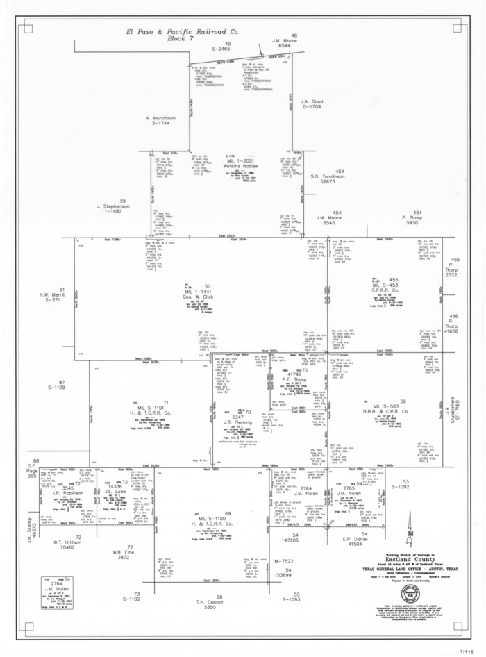
Eastland County Working Sketch 66
2014
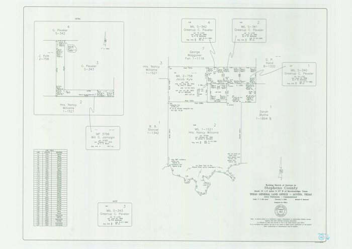
Stephens County Working Sketch 41
2008

Stephens County Working Sketch 40
2006

Stephens County Sketch File 28
1996

Stephens County Working Sketch 39
1995

Palo Pinto County Working Sketch 25
1991
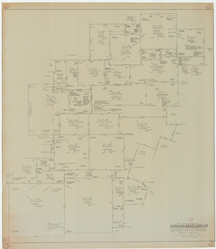
Eastland County Working Sketch 60a
1988
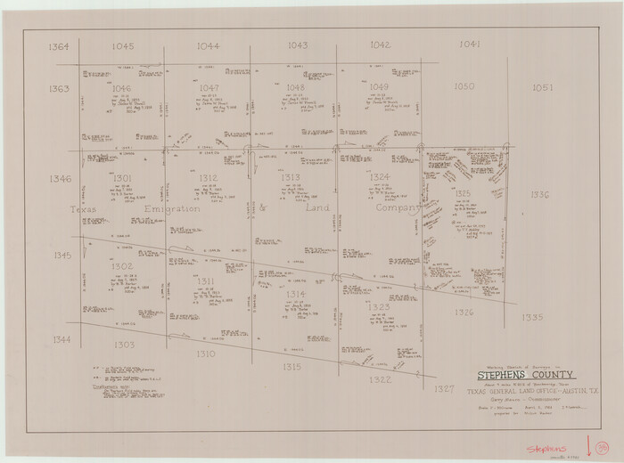
Stephens County Working Sketch 38
1988
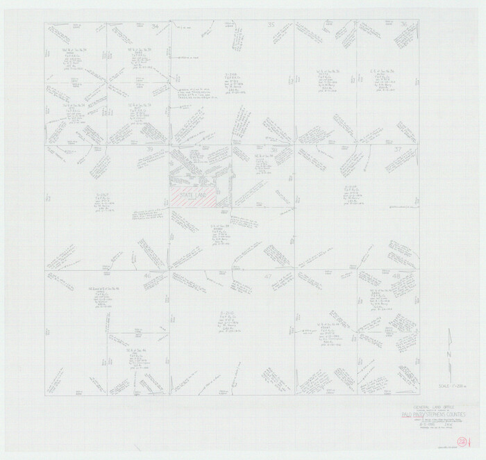
Palo Pinto County Working Sketch 22
1985
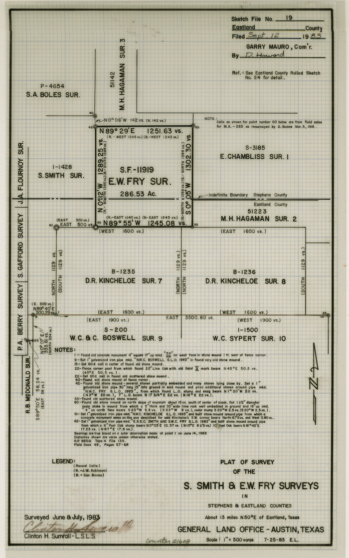
Eastland County Sketch File 19
1983

Eastland County Rolled Sketch 24
1983
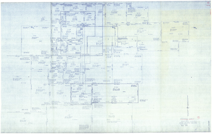
Stephens County Working Sketch 37
1983

Eastland County Working Sketch 64
1983
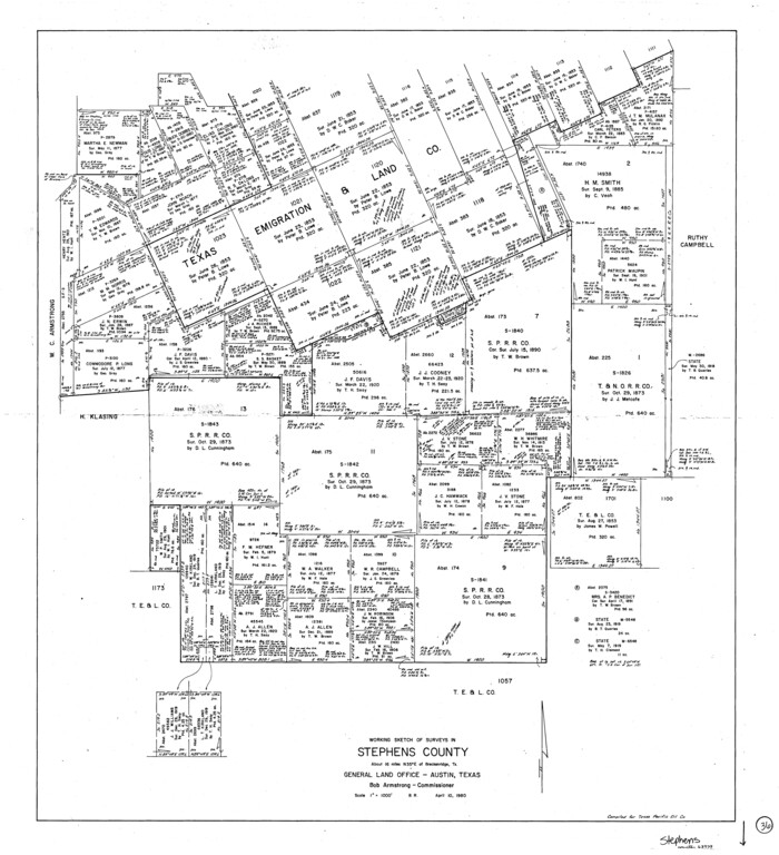
Stephens County Working Sketch 36
1980

Stephens County Working Sketch 34
1978
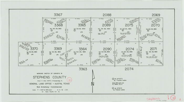
Stephens County Working Sketch 35
1978

Stephens County Working Sketch 33
1978
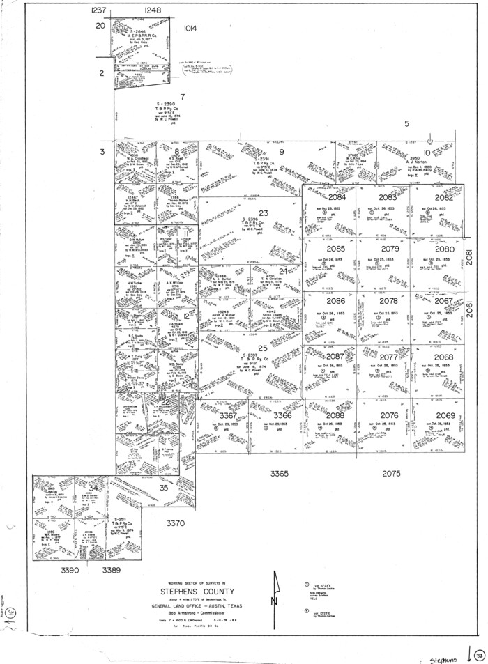
Stephens County Working Sketch 31
1978

Stephens County Working Sketch 32
1978
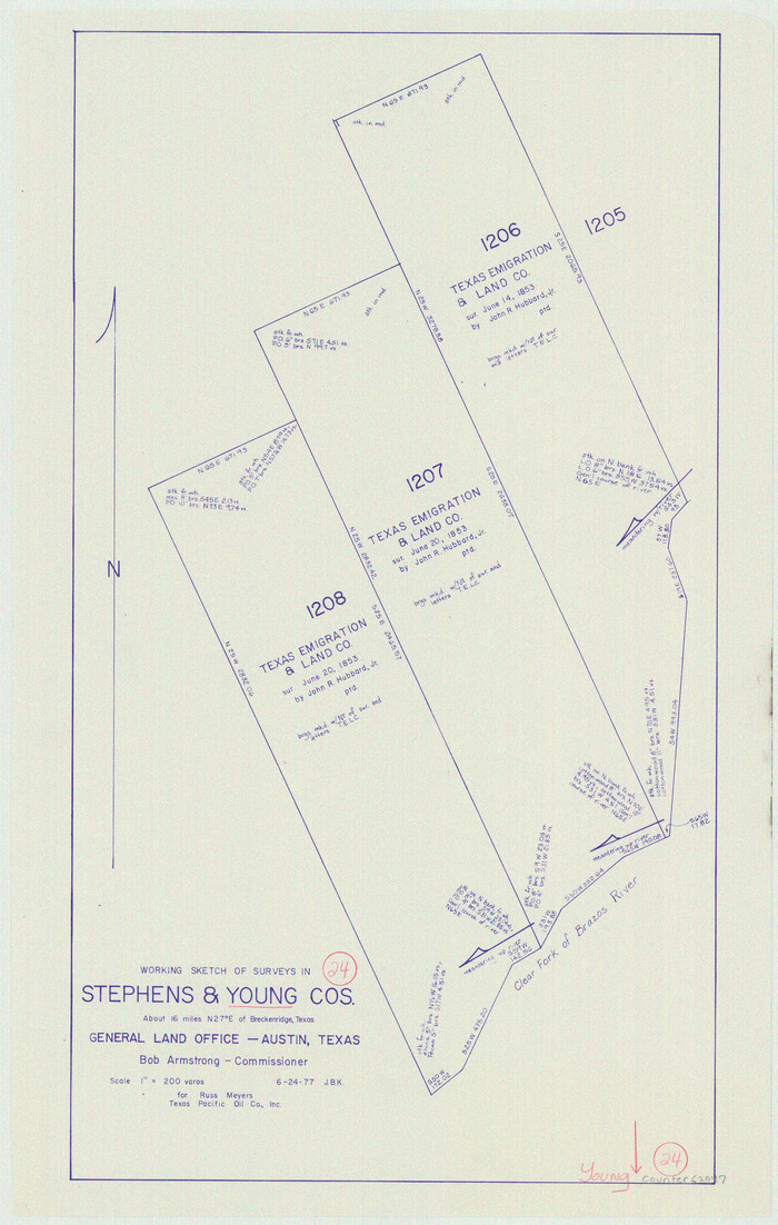
Young County Working Sketch 24
1977
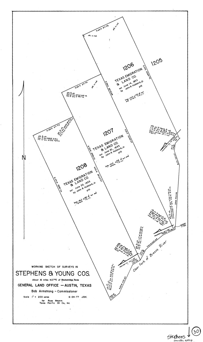
Stephens County Working Sketch 30
1977
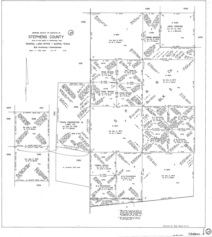
Stephens County Working Sketch 29
1977

Stephens County Working Sketch 28
1976
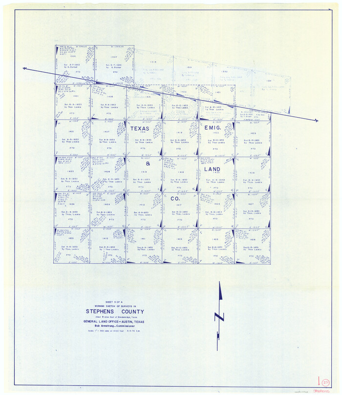
Stephens County Working Sketch 25
1976
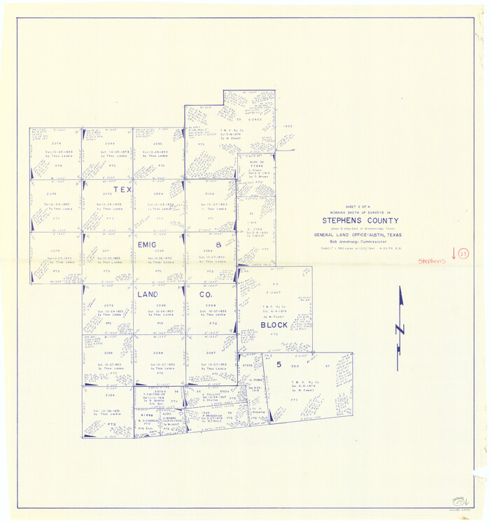
Stephens County Working Sketch 27
1976
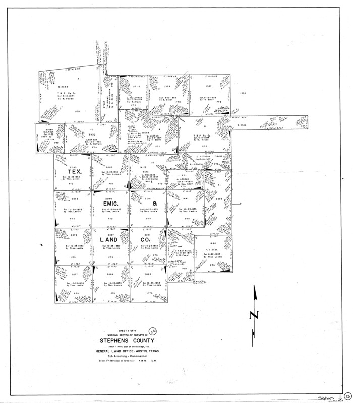
Stephens County Working Sketch 26
1976
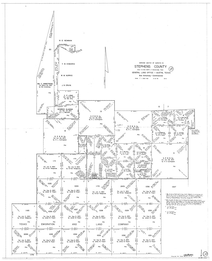
Stephens County Working Sketch 24
1976
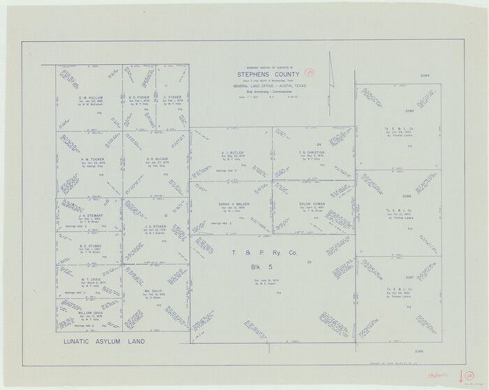
Stephens County Working Sketch 23
1975
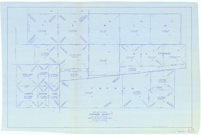
Stephens County Working Sketch 22
1975

Stephens County Working Sketch 18
1975

Eastland County Working Sketch 66
2014
-
Size
27.2 x 20.1 inches
-
Map/Doc
93708
-
Creation Date
2014

Stephens County Working Sketch 41
2008
-
Size
34.1 x 48.0 inches
-
Map/Doc
88737
-
Creation Date
2008

Stephens County Working Sketch 40
2006
-
Size
26.9 x 34.0 inches
-
Map/Doc
87149
-
Creation Date
2006

Stephens County Sketch File 28
1996
-
Size
14.2 x 8.6 inches
-
Map/Doc
37104
-
Creation Date
1996

Stephens County Working Sketch 39
1995
-
Size
25.5 x 27.1 inches
-
Map/Doc
63982
-
Creation Date
1995

Palo Pinto County Working Sketch 25
1991
-
Map/Doc
71408
-
Creation Date
1991

Eastland County Working Sketch 60a
1988
-
Size
45.1 x 39.0 inches
-
Map/Doc
78209
-
Creation Date
1988

Stephens County Working Sketch 38
1988
-
Size
24.3 x 32.7 inches
-
Map/Doc
63981
-
Creation Date
1988

Palo Pinto County Working Sketch 22
1985
-
Map/Doc
71405
-
Creation Date
1985

Eastland County Sketch File 19
1983
-
Size
14.3 x 9.0 inches
-
Map/Doc
21608
-
Creation Date
1983

Eastland County Rolled Sketch 24
1983
-
Size
33.5 x 38.0 inches
-
Map/Doc
8830
-
Creation Date
1983

Stephens County Working Sketch 37
1983
-
Size
42.9 x 67.7 inches
-
Map/Doc
63980
-
Creation Date
1983

Eastland County Working Sketch 64
1983
-
Size
43.3 x 68.4 inches
-
Map/Doc
88891
-
Creation Date
1983

Stephens County Working Sketch 36
1980
-
Size
35.5 x 32.3 inches
-
Map/Doc
63979
-
Creation Date
1980

Stephens County Working Sketch 34
1978
-
Size
33.5 x 28.3 inches
-
Map/Doc
63977
-
Creation Date
1978

Stephens County Working Sketch 35
1978
-
Size
14.5 x 26.0 inches
-
Map/Doc
63978
-
Creation Date
1978

Stephens County Working Sketch 33
1978
-
Size
31.1 x 30.8 inches
-
Map/Doc
63976
-
Creation Date
1978

Stephens County Working Sketch 31
1978
-
Size
41.9 x 30.8 inches
-
Map/Doc
63974
-
Creation Date
1978

Stephens County Working Sketch 32
1978
-
Size
30.9 x 28.7 inches
-
Map/Doc
63975
-
Creation Date
1978

Young County Working Sketch 24
1977
-
Size
25.7 x 16.3 inches
-
Map/Doc
62047
-
Creation Date
1977

Stephens County Working Sketch 30
1977
-
Size
26.4 x 15.7 inches
-
Map/Doc
63973
-
Creation Date
1977

Stephens County Working Sketch 29
1977
-
Size
31.0 x 27.7 inches
-
Map/Doc
63972
-
Creation Date
1977

Stephens County Working Sketch 28
1976
-
Size
38.4 x 31.8 inches
-
Map/Doc
63971
-
Creation Date
1976

Stephens County Working Sketch 25
1976
-
Size
37.4 x 32.3 inches
-
Map/Doc
63968
-
Creation Date
1976

Stephens County Working Sketch 27
1976
-
Size
34.4 x 32.3 inches
-
Map/Doc
63970
-
Creation Date
1976

Stephens County Working Sketch 26
1976
-
Size
36.9 x 32.2 inches
-
Map/Doc
63969
-
Creation Date
1976

Stephens County Working Sketch 24
1976
-
Size
39.2 x 31.9 inches
-
Map/Doc
63967
-
Creation Date
1976

Stephens County Working Sketch 23
1975
-
Size
31.0 x 38.8 inches
-
Map/Doc
63966
-
Creation Date
1975

Stephens County Working Sketch 22
1975
-
Size
32.9 x 49.0 inches
-
Map/Doc
63965
-
Creation Date
1975

Stephens County Working Sketch 18
1975
-
Size
57.4 x 32.9 inches
-
Map/Doc
63961
-
Creation Date
1975