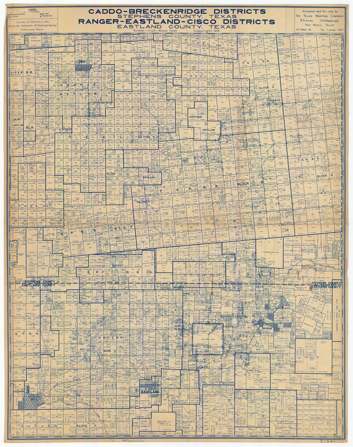
Caddo-Breckenridge Districts, Stephens County, Texas Ranger-Eastland-Cisco Districts Eastland County, Texas
1919
Callahan County Sketch File 6
1858

Eastland County Rolled Sketch 24
1983
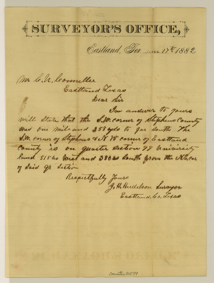
Eastland County Sketch File 15
1882

Eastland County Sketch File 17
1918
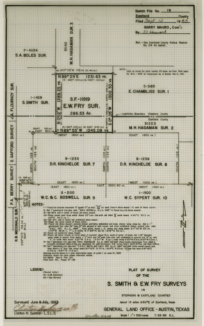
Eastland County Sketch File 19
1983

Eastland County Sketch File 7
1872
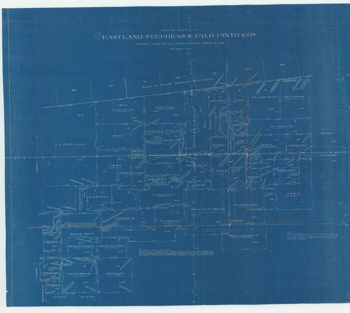
Eastland County Working Sketch 13
1919
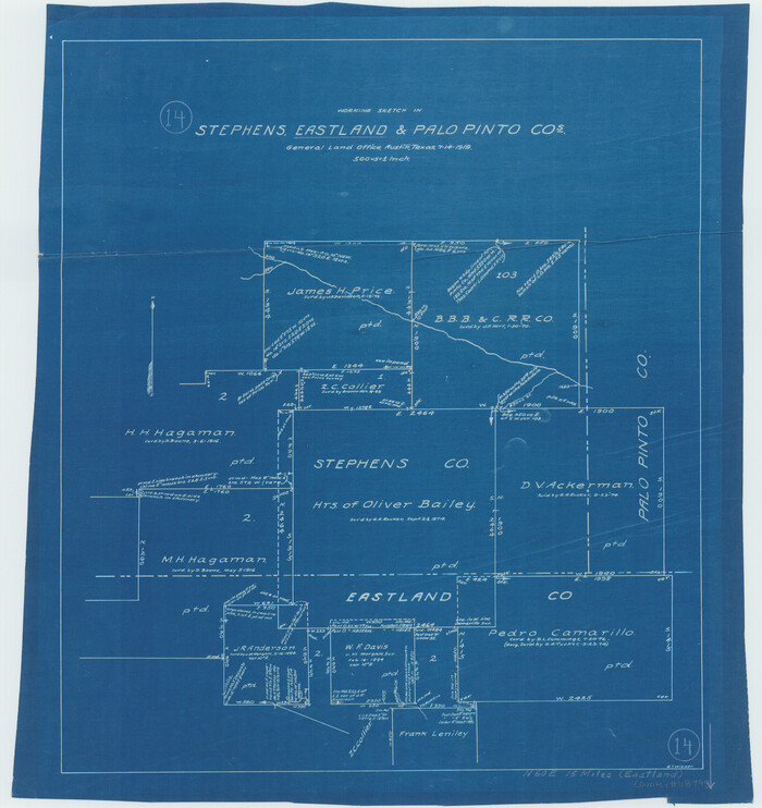
Eastland County Working Sketch 14
1919
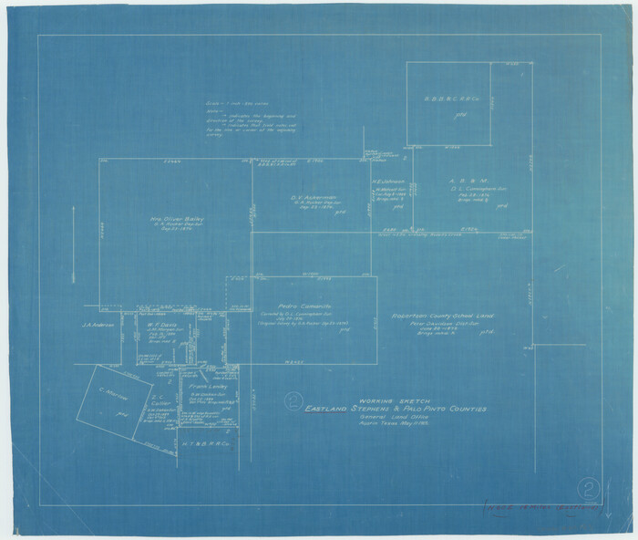
Eastland County Working Sketch 2
1915

Eastland County Working Sketch 3
1917
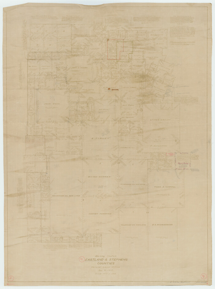
Eastland County Working Sketch 4
1918

Eastland County Working Sketch 5
1918
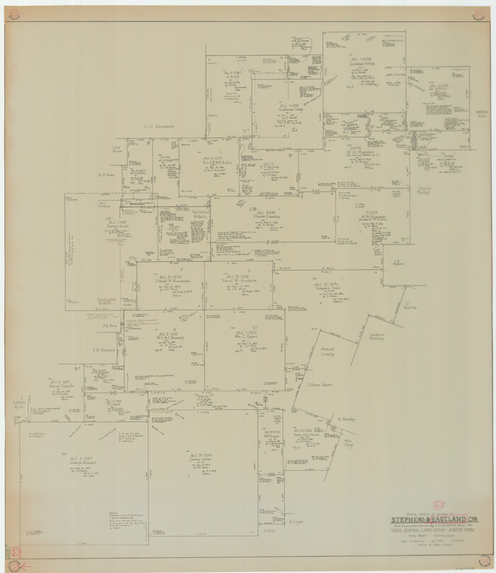
Eastland County Working Sketch 60a
1988

Eastland County Working Sketch 64
1983
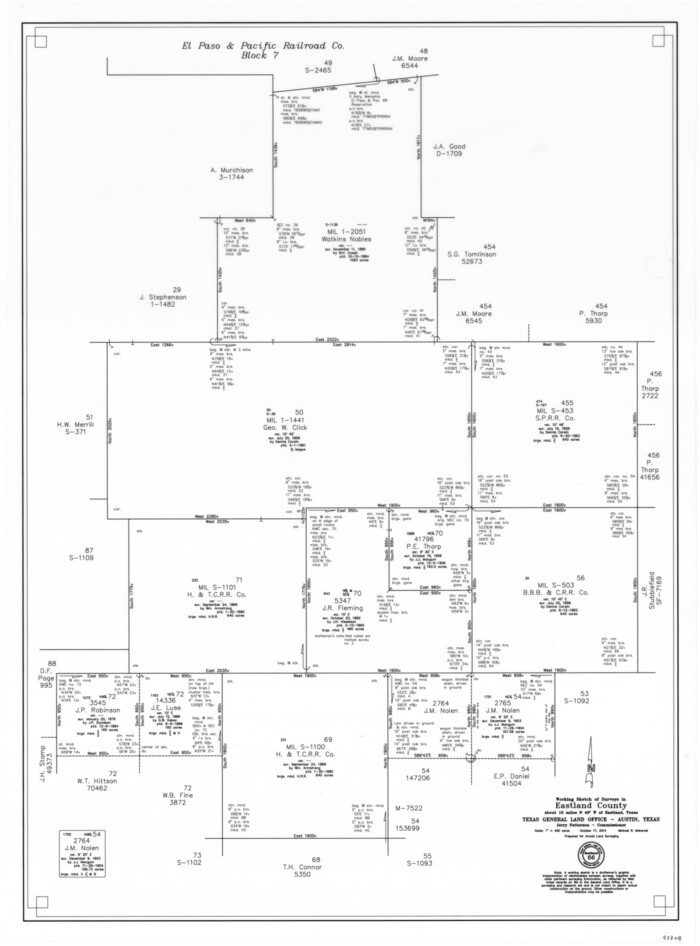
Eastland County Working Sketch 66
2014
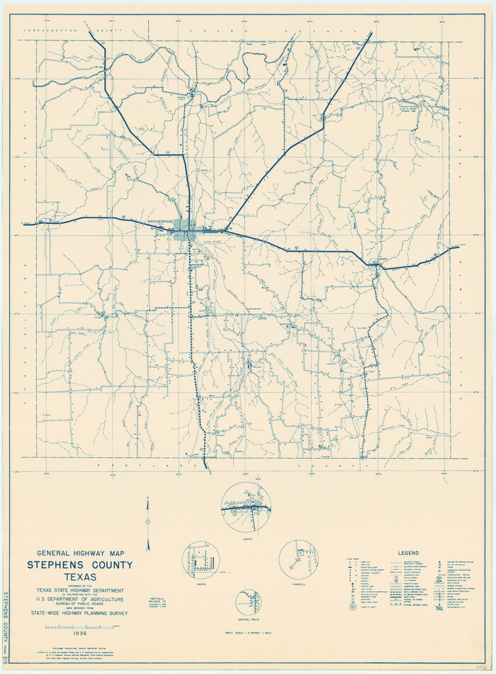
General Highway Map, Stephens County, Texas
1940

General Highway Map, Stephens County, Texas
1961

Map No. 1 - Surveys Located in 1881 as they appear on the ground
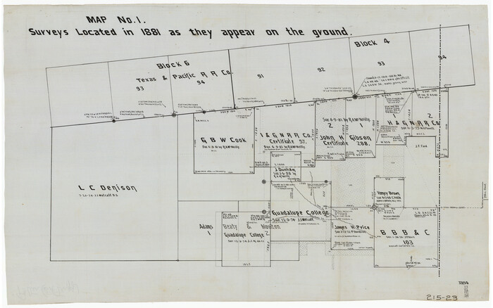
Map No. 1 - Surveys Located in 1881 as they appear on the ground
1881
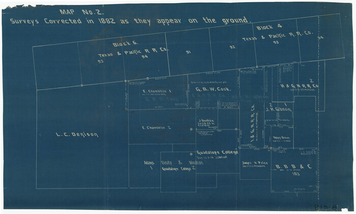
Map No. 2 - Surveys Corrected in 1882 as they appear on the ground
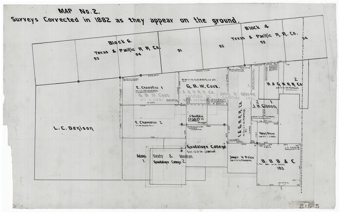
Map No. 2 - Surveys Corrected in 1882 as they appear on the ground
1882
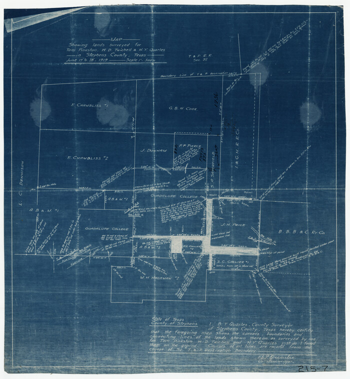
Map Showing Lands Surveyed for Tom Pinkston, W. D. Twichell and H. Y. Quarles in Stephens County, Texas
1919

Map of Asylum & University lands situated on the waters of Hubbards Creek
1857

Map of Land in State Mineral Land Permit No. 2838 held by E. W. Fry and E. A. Giraud
1919
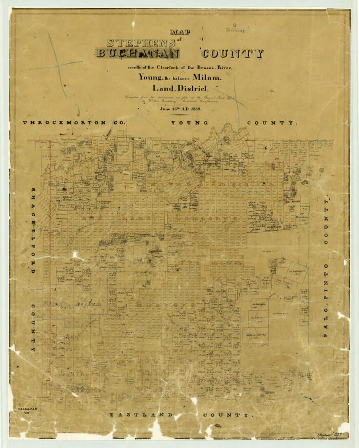
Map of Stephens Buchanan County north of the Clearfork of the Brazos River, Young- the balance Milam- Land- District
1859
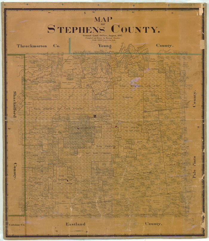
Map of Stephens County
1897

Map of Stephens County
1879

Map of Stephens County
1897

Caddo-Breckenridge Districts, Stephens County, Texas Ranger-Eastland-Cisco Districts Eastland County, Texas
1919
-
Size
34.9 x 44.5 inches
-
Map/Doc
89808
-
Creation Date
1919

Callahan County Sketch File 6
1858
-
Size
8.2 x 6.4 inches
-
Map/Doc
35859
-
Creation Date
1858

Eastland County Rolled Sketch 24
1983
-
Size
33.5 x 38.0 inches
-
Map/Doc
8830
-
Creation Date
1983

Eastland County Sketch File 15
1882
-
Size
11.4 x 8.6 inches
-
Map/Doc
21599
-
Creation Date
1882

Eastland County Sketch File 17
1918
-
Size
13.6 x 8.9 inches
-
Map/Doc
21600
-
Creation Date
1918

Eastland County Sketch File 19
1983
-
Size
14.3 x 9.0 inches
-
Map/Doc
21608
-
Creation Date
1983

Eastland County Sketch File 7
1872
-
Size
12.6 x 8.5 inches
-
Map/Doc
21574
-
Creation Date
1872

Eastland County Working Sketch 13
1919
-
Size
34.0 x 38.0 inches
-
Map/Doc
68794
-
Creation Date
1919

Eastland County Working Sketch 14
1919
-
Size
18.2 x 17.1 inches
-
Map/Doc
68795
-
Creation Date
1919

Eastland County Working Sketch 2
1915
-
Size
17.3 x 20.4 inches
-
Map/Doc
68783
-
Creation Date
1915

Eastland County Working Sketch 3
1917
-
Size
16.5 x 20.2 inches
-
Map/Doc
68784
-
Creation Date
1917

Eastland County Working Sketch 4
1918
-
Size
39.1 x 29.1 inches
-
Map/Doc
68785
-
Creation Date
1918

Eastland County Working Sketch 5
1918
-
Size
16.1 x 19.3 inches
-
Map/Doc
68786
-
Creation Date
1918

Eastland County Working Sketch 60a
1988
-
Size
45.1 x 39.0 inches
-
Map/Doc
78209
-
Creation Date
1988

Eastland County Working Sketch 64
1983
-
Size
43.3 x 68.4 inches
-
Map/Doc
88891
-
Creation Date
1983

Eastland County Working Sketch 66
2014
-
Size
27.2 x 20.1 inches
-
Map/Doc
93708
-
Creation Date
2014

General Highway Map, Stephens County, Texas
1940
-
Size
24.9 x 18.3 inches
-
Map/Doc
79247
-
Creation Date
1940

General Highway Map, Stephens County, Texas
1961
-
Size
25.0 x 18.2 inches
-
Map/Doc
79660
-
Creation Date
1961

Map No. 1 - Surveys Located in 1881 as they appear on the ground
-
Size
29.6 x 18.8 inches
-
Map/Doc
91889

Map No. 1 - Surveys Located in 1881 as they appear on the ground
1881
-
Size
30.9 x 19.6 inches
-
Map/Doc
91927
-
Creation Date
1881

Map No. 2 - Surveys Corrected in 1882 as they appear on the ground
-
Size
30.8 x 18.5 inches
-
Map/Doc
91891

Map No. 2 - Surveys Corrected in 1882 as they appear on the ground
1882
-
Size
30.7 x 19.2 inches
-
Map/Doc
91925
-
Creation Date
1882

Map Showing Lands Surveyed for Tom Pinkston, W. D. Twichell and H. Y. Quarles in Stephens County, Texas
1919
-
Size
19.7 x 21.2 inches
-
Map/Doc
91892
-
Creation Date
1919

Map of Asylum & University lands situated on the waters of Hubbards Creek
1857
-
Size
21.2 x 28.5 inches
-
Map/Doc
2491
-
Creation Date
1857

Map of Land in State Mineral Land Permit No. 2838 held by E. W. Fry and E. A. Giraud
1919
-
Size
18.4 x 37.3 inches
-
Map/Doc
91837
-
Creation Date
1919

Map of Stephens Buchanan County north of the Clearfork of the Brazos River, Young- the balance Milam- Land- District
1859
-
Size
24.4 x 19.6 inches
-
Map/Doc
4052
-
Creation Date
1859

Map of Stephens County
1897
-
Size
43.2 x 37.6 inches
-
Map/Doc
16818
-
Creation Date
1897

Map of Stephens County
1879
-
Size
24.0 x 19.6 inches
-
Map/Doc
4053
-
Creation Date
1879

Map of Stephens County
1897
-
Size
42.9 x 38.2 inches
-
Map/Doc
63044
-
Creation Date
1897
