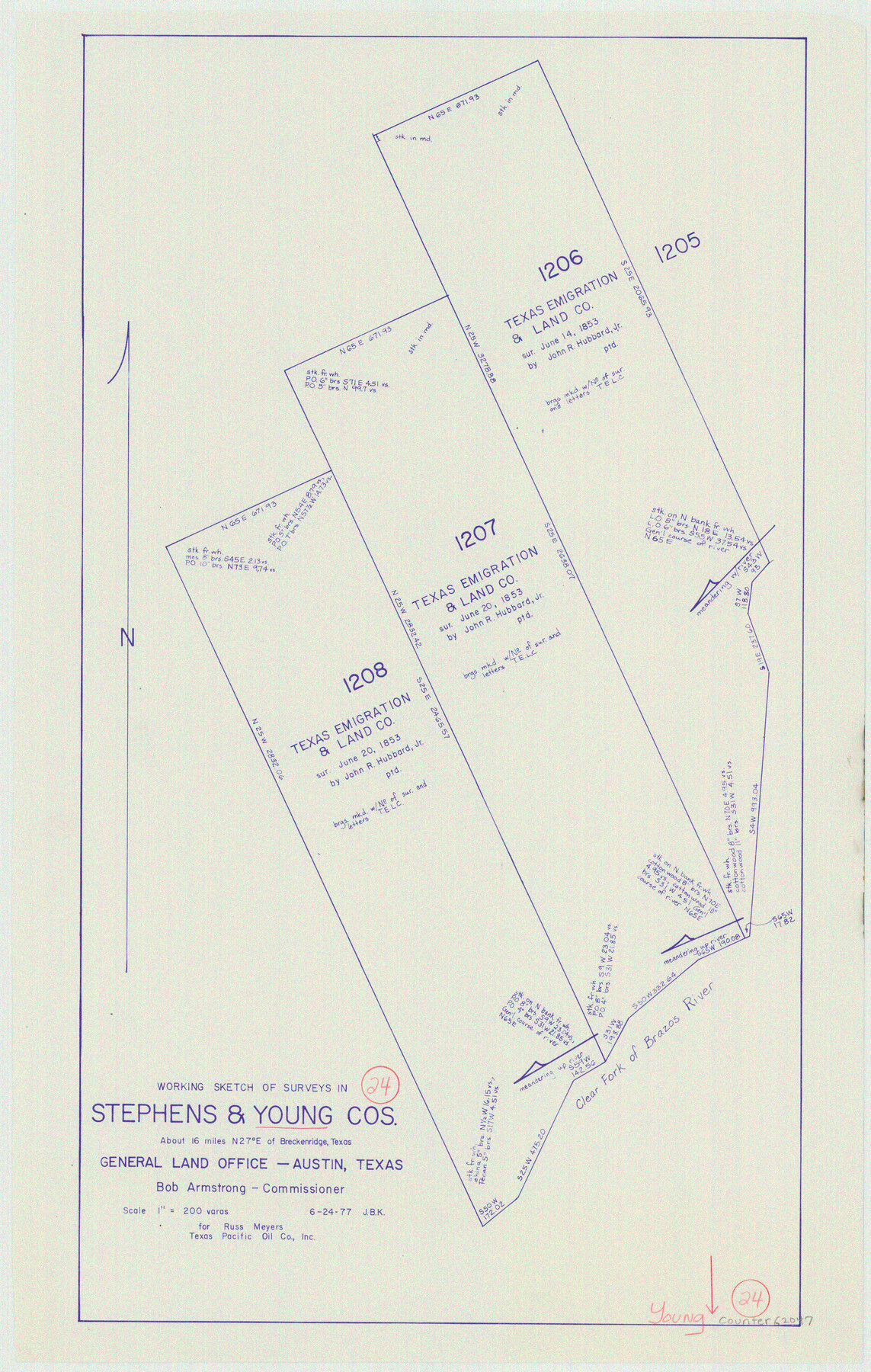
Young County Working Sketch 24
-
Map/Doc
62047
-
Collection
General Map Collection
-
Object Dates
6/24/1977 (Creation Date)
-
People and Organizations
Joan Kilpatrick (Draftsman)
-
Counties
Young Stephens
-
Subjects
Surveying Working Sketch
-
Height x Width
25.7 x 16.3 inches
65.3 x 41.4 cm
-
Scale
1" = 200 varas
Part of: General Map Collection
United States Atlantic and Gulf Coasts Including Puerto Rico and the Virgin Islands

Print $40.00
- Digital $50.00
United States Atlantic and Gulf Coasts Including Puerto Rico and the Virgin Islands
1973
Size 21.9 x 60.6 inches
Map/Doc 76125
Aransas County Rolled Sketch 3

Print $20.00
- Digital $50.00
Aransas County Rolled Sketch 3
Size 20.9 x 26.5 inches
Map/Doc 77188
Wichita County Working Sketch 5

Print $20.00
- Digital $50.00
Wichita County Working Sketch 5
1913
Size 18.2 x 27.0 inches
Map/Doc 72514
Harris County Sketch File 56a

Print $54.00
- Digital $50.00
Harris County Sketch File 56a
1912
Size 9.0 x 7.9 inches
Map/Doc 25456
Texas Gulf Coast Map from the Sabine River to the Rio Grande as subdivided for mineral development

Print $40.00
- Digital $50.00
Texas Gulf Coast Map from the Sabine River to the Rio Grande as subdivided for mineral development
Size 46.0 x 91.3 inches
Map/Doc 2901
Victoria County Sketch File 10

Print $4.00
- Digital $50.00
Victoria County Sketch File 10
1873
Size 10.1 x 8.4 inches
Map/Doc 39534
Crane County Rolled Sketch 18

Print $20.00
- Digital $50.00
Crane County Rolled Sketch 18
1950
Size 37.8 x 37.2 inches
Map/Doc 8683
Baylor County Rolled Sketch 9

Print $20.00
- Digital $50.00
Baylor County Rolled Sketch 9
1892
Size 18.2 x 26.1 inches
Map/Doc 5125
From Aransas Pass Eastward, Texas

Print $40.00
- Digital $50.00
From Aransas Pass Eastward, Texas
1866
Size 31.4 x 53.6 inches
Map/Doc 73426
Medina County Sketch File 15

Print $6.00
- Digital $50.00
Medina County Sketch File 15
1943
Size 14.2 x 8.5 inches
Map/Doc 31473
Hardeman County Sketch File 33

Print $3.00
- Digital $50.00
Hardeman County Sketch File 33
1986
Size 17.7 x 11.7 inches
Map/Doc 25070
Newton County Sketch File 4a

Print $4.00
- Digital $50.00
Newton County Sketch File 4a
Size 12.6 x 8.0 inches
Map/Doc 32362
You may also like
Knox County Rolled Sketch 9

Print $20.00
- Digital $50.00
Knox County Rolled Sketch 9
Size 26.1 x 33.0 inches
Map/Doc 9407
Wellman Situated on Parts of the Northeast 1/4 and Northwest 1/4 Section 17, Block DD

Print $20.00
- Digital $50.00
Wellman Situated on Parts of the Northeast 1/4 and Northwest 1/4 Section 17, Block DD
Size 22.2 x 18.9 inches
Map/Doc 92930
Delta County Sketch File 5

Print $2.00
- Digital $50.00
Delta County Sketch File 5
1886
Size 14.6 x 8.6 inches
Map/Doc 20676
Aransas County Rolled Sketch 27

Print $20.00
- Digital $50.00
Aransas County Rolled Sketch 27
1983
Size 24.9 x 35.4 inches
Map/Doc 5059
Presidio County Working Sketch 54

Print $20.00
- Digital $50.00
Presidio County Working Sketch 54
1955
Size 26.0 x 20.8 inches
Map/Doc 71731
Southern Part of Laguna Madre

Print $20.00
- Digital $50.00
Southern Part of Laguna Madre
1952
Size 44.7 x 35.2 inches
Map/Doc 73537
San Patricio County Sketch File 48

Print $88.00
- Digital $50.00
San Patricio County Sketch File 48
Size 9.0 x 9.0 inches
Map/Doc 36285
Lipscomb County Boundary File 12

Print $4.00
- Digital $50.00
Lipscomb County Boundary File 12
Size 10.6 x 8.1 inches
Map/Doc 56351
Primera parte del Mapa, que comprende la Frontera, de los Dominios del Rey, en la America Septentrional

Print $40.00
- Digital $50.00
Primera parte del Mapa, que comprende la Frontera, de los Dominios del Rey, en la America Septentrional
1769
Size 25.8 x 63.2 inches
Map/Doc 3062
Right of Way and Track Map of The Missouri, Kansas & Texas Railway of Texas

Print $40.00
- Digital $50.00
Right of Way and Track Map of The Missouri, Kansas & Texas Railway of Texas
1918
Size 24.8 x 52.6 inches
Map/Doc 64529
Howard County Rolled Sketch 8

Print $20.00
- Digital $50.00
Howard County Rolled Sketch 8
Size 43.0 x 18.4 inches
Map/Doc 6238
General Highway Map, Wichita County, Texas

Print $20.00
General Highway Map, Wichita County, Texas
1940
Size 18.1 x 24.8 inches
Map/Doc 79277