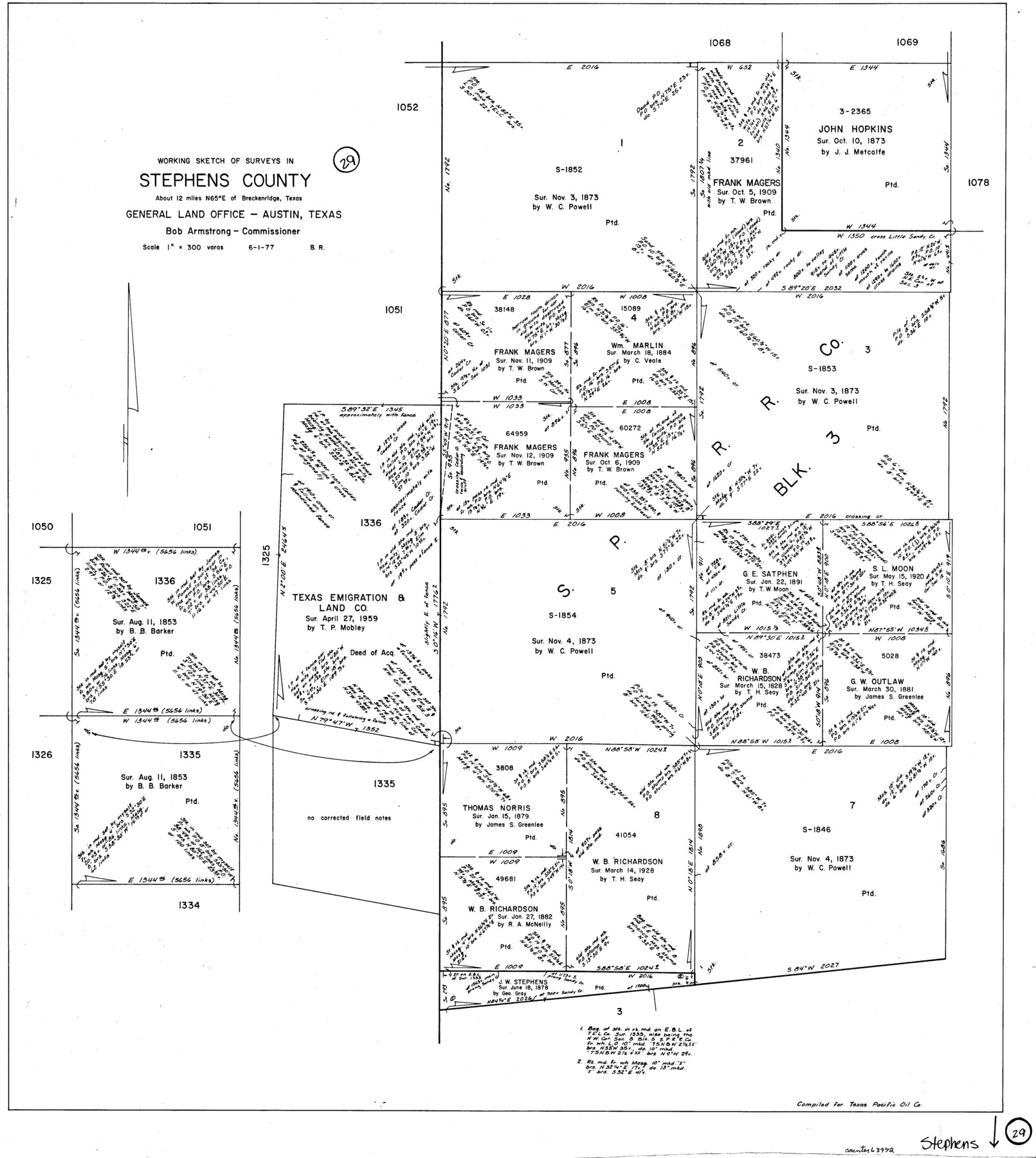
Stephens County Working Sketch 29
-
Map/Doc
63972
-
Collection
General Map Collection
-
Object Dates
6/1/1977 (Creation Date)
-
People and Organizations
Beverly Robison (Draftsman)
-
Counties
Stephens
-
Subjects
Surveying Working Sketch
-
Height x Width
31.0 x 27.7 inches
78.7 x 70.4 cm
-
Scale
1" = 300 varas
Part of: General Map Collection
Harris County Sketch File 106

Print $80.00
- Digital $50.00
Harris County Sketch File 106
1995
Size 11.3 x 8.8 inches
Map/Doc 25975
Tyler County Working Sketch 12

Print $20.00
- Digital $50.00
Tyler County Working Sketch 12
1942
Size 21.2 x 31.7 inches
Map/Doc 69482
Ward County Rolled Sketch 24A

Print $20.00
- Digital $50.00
Ward County Rolled Sketch 24A
Size 19.9 x 42.3 inches
Map/Doc 8164
Kent County Rolled Sketch 7

Print $40.00
- Digital $50.00
Kent County Rolled Sketch 7
1954
Size 51.8 x 42.6 inches
Map/Doc 10221
Flight Mission No. BRA-8M, Frame 86, Jefferson County

Print $20.00
- Digital $50.00
Flight Mission No. BRA-8M, Frame 86, Jefferson County
1953
Size 18.7 x 22.3 inches
Map/Doc 85606
Sabine County

Print $20.00
- Digital $50.00
Sabine County
1920
Size 43.9 x 34.6 inches
Map/Doc 63014
Jefferson County Working Sketch Graphic Index

Print $20.00
- Digital $50.00
Jefferson County Working Sketch Graphic Index
1978
Size 47.1 x 41.4 inches
Map/Doc 76595
Map of Atascosa Co.

Print $40.00
- Digital $50.00
Map of Atascosa Co.
1894
Size 49.4 x 46.6 inches
Map/Doc 4794
Brazoria County Sketch File 16

Print $16.00
- Digital $50.00
Brazoria County Sketch File 16
1893
Size 9.4 x 4.3 inches
Map/Doc 14981
San Jacinto County Rolled Sketch 13

Print $20.00
- Digital $50.00
San Jacinto County Rolled Sketch 13
1994
Size 32.2 x 23.7 inches
Map/Doc 7562
Matagorda County Sketch File 48

Print $108.00
- Digital $50.00
Matagorda County Sketch File 48
1998
Size 11.1 x 8.6 inches
Map/Doc 31009
[Sketch for Mineral Application 16700 - Pecos River Bed]
![2807, [Sketch for Mineral Application 16700 - Pecos River Bed], General Map Collection](https://historictexasmaps.com/wmedia_w700/maps/2807.tif.jpg)
Print $20.00
- Digital $50.00
[Sketch for Mineral Application 16700 - Pecos River Bed]
1927
Size 32.9 x 15.3 inches
Map/Doc 2807
You may also like
Duval County Sketch File 6b

Print $5.00
- Digital $50.00
Duval County Sketch File 6b
1875
Size 8.3 x 10.8 inches
Map/Doc 21290
Working Sketch in Archer County

Print $20.00
- Digital $50.00
Working Sketch in Archer County
1924
Size 30.3 x 42.2 inches
Map/Doc 90171
Travis County Boundary File 4a

Print $40.00
- Digital $50.00
Travis County Boundary File 4a
Size 27.9 x 17.8 inches
Map/Doc 59428
Deaf Smith County Rolled Sketch 4

Print $20.00
- Digital $50.00
Deaf Smith County Rolled Sketch 4
Size 23.9 x 18.0 inches
Map/Doc 96789
Matagorda County Boundary File 1

Print $10.00
- Digital $50.00
Matagorda County Boundary File 1
Size 14.1 x 8.6 inches
Map/Doc 56884
South Part of Webb County

Print $40.00
- Digital $50.00
South Part of Webb County
1984
Size 43.5 x 63.9 inches
Map/Doc 73320

Main Line Routes of the Santa Fe Lines

Main Line Routes of the Santa Fe Lines
Size 12.1 x 18.1 inches
Map/Doc 94157

Shelby County Working Sketch 3

Print $20.00
- Digital $50.00
Shelby County Working Sketch 3
1940
Size 28.9 x 19.4 inches
Map/Doc 63856
Dickens County Working Sketch 15

Print $20.00
- Digital $50.00
Dickens County Working Sketch 15
2011
Size 28.8 x 28.6 inches
Map/Doc 90067
Randall County Rolled Sketch 3

Print $20.00
- Digital $50.00
Randall County Rolled Sketch 3
Size 22.0 x 24.9 inches
Map/Doc 7423