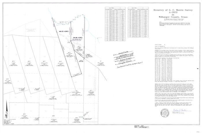
Wilbarger County Sketch File 28
2016

Wilbarger County Sketch File 29
2016
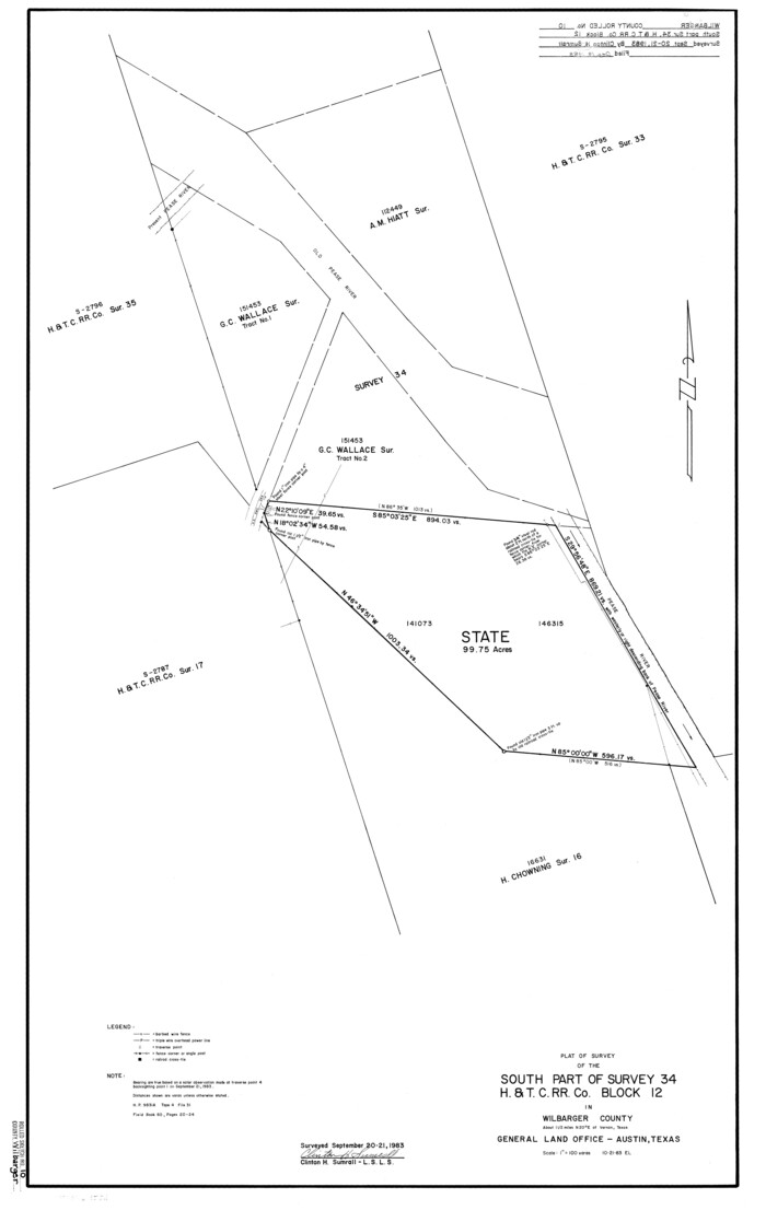
Wilbarger County Rolled Sketch 10
1983
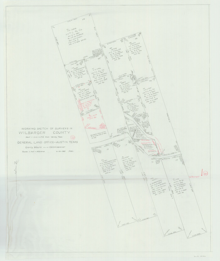
Wilbarger County Working Sketch 22
1983
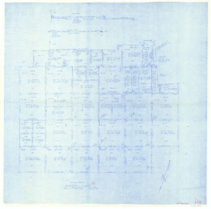
Wilbarger County Working Sketch 21
1979
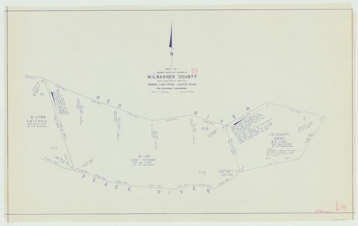
Wilbarger County Working Sketch 20
1976

Wilbarger County Working Sketch 19
1972

Wilbarger County Rolled Sketch 8
1965
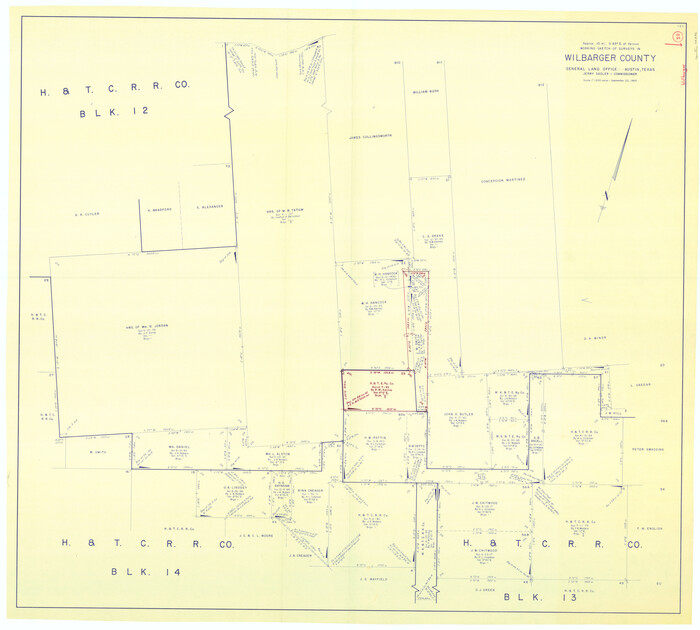
Wilbarger County Working Sketch 18
1965
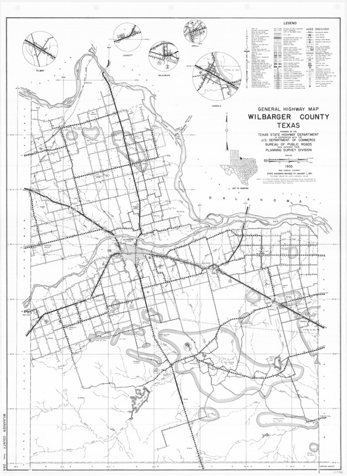
General Highway Map, Wilbarger County, Texas
1961

Wilbarger County Working Sketch 17
1957

Wilbarger County Working Sketch 16
1955
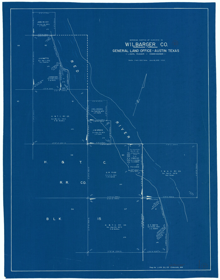
Wilbarger County Working Sketch 15
1955
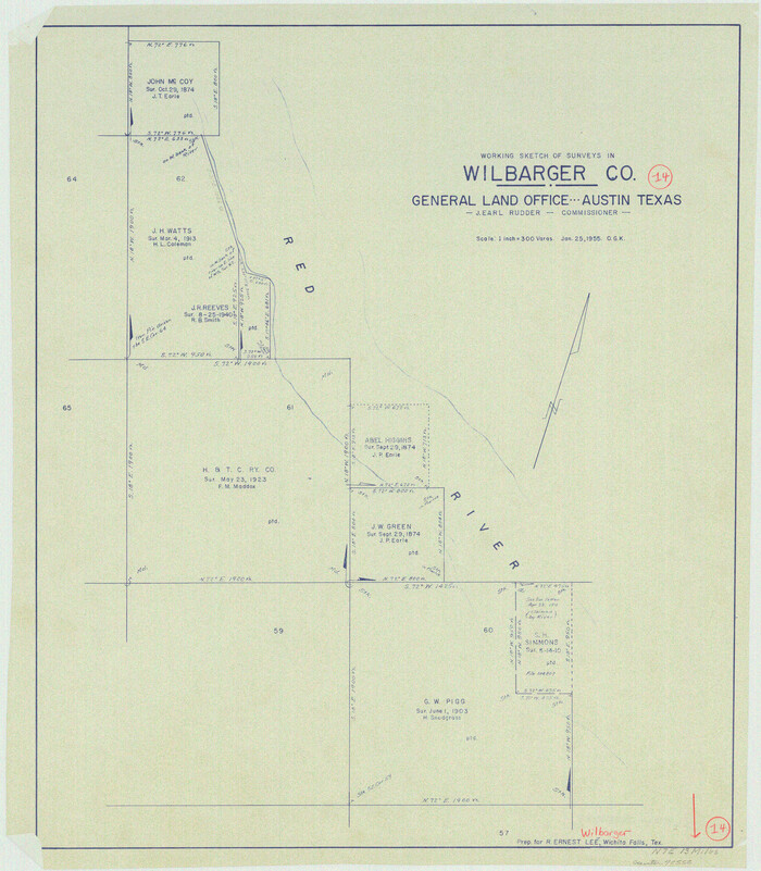
Wilbarger County Working Sketch 14
1955
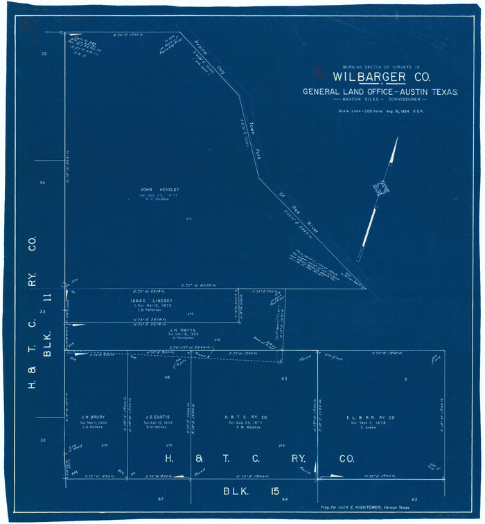
Wilbarger County Working Sketch 13
1954

Wilbarger County Working Sketch 12
1953

Wilbarger County Working Sketch 11
1952

Hardeman County Rolled Sketch 23
1952
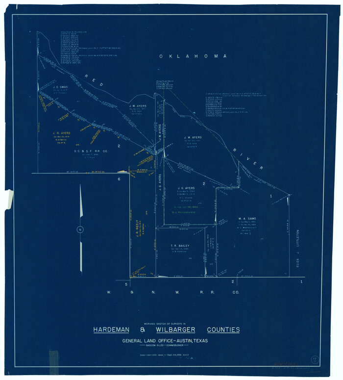
Hardeman County Working Sketch 7
1952

Wilbarger County Working Sketch 10
1951
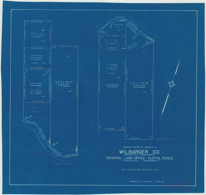
Wilbarger County Working Sketch 7a and 7b
1951
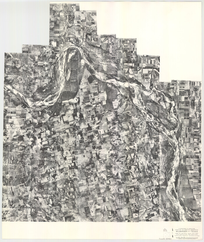
Wilbarger County Aerial Photograph Index Sheet 1
1950

Wilbarger County Aerial Photograph Index Sheet 2
1950
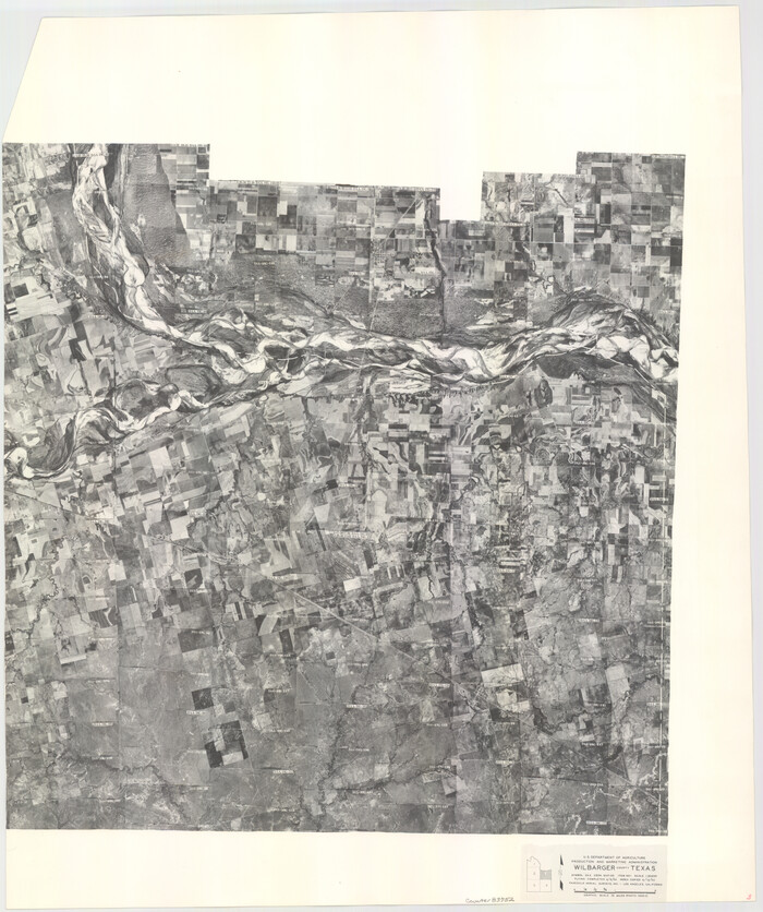
Wilbarger County Aerial Photograph Index Sheet 3
1950

Wilbarger County Aerial Photograph Index Sheet 4
1950

Wilbarger County Aerial Photograph Index Sheet 5
1950
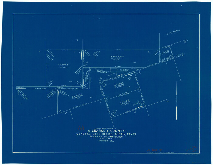
Wilbarger County Working Sketch 9
1950

Wilbarger County Sketch File 28
2016
-
Size
23.9 x 36.2 inches
-
Map/Doc
95324
-
Creation Date
2016

Wilbarger County Sketch File 29
2016
-
Size
11.0 x 8.5 inches
-
Map/Doc
95325
-
Creation Date
2016

Wilbarger County Rolled Sketch 10
1983
-
Size
37.6 x 23.8 inches
-
Map/Doc
8259
-
Creation Date
1983

Wilbarger County Working Sketch 22
1983
-
Size
39.8 x 33.6 inches
-
Map/Doc
72560
-
Creation Date
1983

Wilbarger County Working Sketch 21
1979
-
Size
37.4 x 37.8 inches
-
Map/Doc
72559
-
Creation Date
1979

Wilbarger County Working Sketch 20
1976
-
Size
27.4 x 43.4 inches
-
Map/Doc
72558
-
Creation Date
1976

Wilbarger County Working Sketch 19
1972
-
Size
36.6 x 38.3 inches
-
Map/Doc
72557
-
Creation Date
1972

Wilbarger County Rolled Sketch 8
1965
-
Size
22.0 x 18.9 inches
-
Map/Doc
8257
-
Creation Date
1965

Wilbarger County Working Sketch 18
1965
-
Size
42.0 x 46.6 inches
-
Map/Doc
72556
-
Creation Date
1965

General Highway Map, Wilbarger County, Texas
1961
-
Size
24.9 x 18.2 inches
-
Map/Doc
79710
-
Creation Date
1961

Wilbarger County Working Sketch 17
1957
-
Size
7.5 x 18.4 inches
-
Map/Doc
72555
-
Creation Date
1957

Wilbarger County Working Sketch 16
1955
-
Size
32.7 x 19.9 inches
-
Map/Doc
72554
-
Creation Date
1955

Wilbarger County Working Sketch 15
1955
-
Size
32.5 x 25.5 inches
-
Map/Doc
72553
-
Creation Date
1955

Wilbarger County Working Sketch 14
1955
-
Size
24.8 x 21.7 inches
-
Map/Doc
72552
-
Creation Date
1955

Wilbarger County Working Sketch 13
1954
-
Size
25.9 x 24.0 inches
-
Map/Doc
72551
-
Creation Date
1954

Wilbarger County Working Sketch 12
1953
-
Size
42.2 x 33.5 inches
-
Map/Doc
72550
-
Creation Date
1953

Wilbarger County Working Sketch 11
1952
-
Size
27.7 x 51.7 inches
-
Map/Doc
72549
-
Creation Date
1952

Hardeman County Rolled Sketch 23
1952
-
Size
34.6 x 30.8 inches
-
Map/Doc
10671
-
Creation Date
1952

Hardeman County Working Sketch 7
1952
-
Size
34.2 x 30.9 inches
-
Map/Doc
63388
-
Creation Date
1952

Wilbarger County Working Sketch 10
1951
-
Size
23.5 x 32.3 inches
-
Map/Doc
72548
-
Creation Date
1951

Wilbarger County Working Sketch 7a and 7b
1951
-
Size
22.7 x 24.0 inches
-
Map/Doc
72545
-
Creation Date
1951

Wilbarger County Aerial Photograph Index Sheet 1
1950
-
Size
22.4 x 18.9 inches
-
Map/Doc
83750
-
Creation Date
1950

Wilbarger County Aerial Photograph Index Sheet 2
1950
-
Size
22.4 x 17.5 inches
-
Map/Doc
83751
-
Creation Date
1950

Wilbarger County Aerial Photograph Index Sheet 3
1950
-
Size
22.5 x 18.9 inches
-
Map/Doc
83752
-
Creation Date
1950

Wilbarger County Aerial Photograph Index Sheet 4
1950
-
Size
21.7 x 18.8 inches
-
Map/Doc
83753
-
Creation Date
1950

Wilbarger County Aerial Photograph Index Sheet 5
1950
-
Size
22.3 x 18.0 inches
-
Map/Doc
83754
-
Creation Date
1950

Wilbarger County Working Sketch 9
1950
-
Size
21.3 x 27.6 inches
-
Map/Doc
72547
-
Creation Date
1950
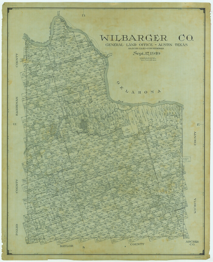
Wilbarger Co.
1949
-
Size
48.2 x 39.2 inches
-
Map/Doc
63128
-
Creation Date
1949

Wilbarger Co.
1949
-
Size
47.8 x 38.8 inches
-
Map/Doc
73324
-
Creation Date
1949

Wilbarger Co.
1949
-
Size
46.8 x 38.1 inches
-
Map/Doc
77458
-
Creation Date
1949