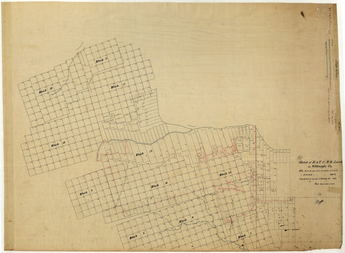
Wilbarger County Rolled Sketch 2

Print $40.00
- Digital $50.00
Wilbarger County Rolled Sketch 2
Size: 36.7 x 49.6 inches
10140
Wilbarger County Rolled Sketch 3


Print $40.00
- Digital $50.00
Wilbarger County Rolled Sketch 3
Size: 39.5 x 67.4 inches
10141
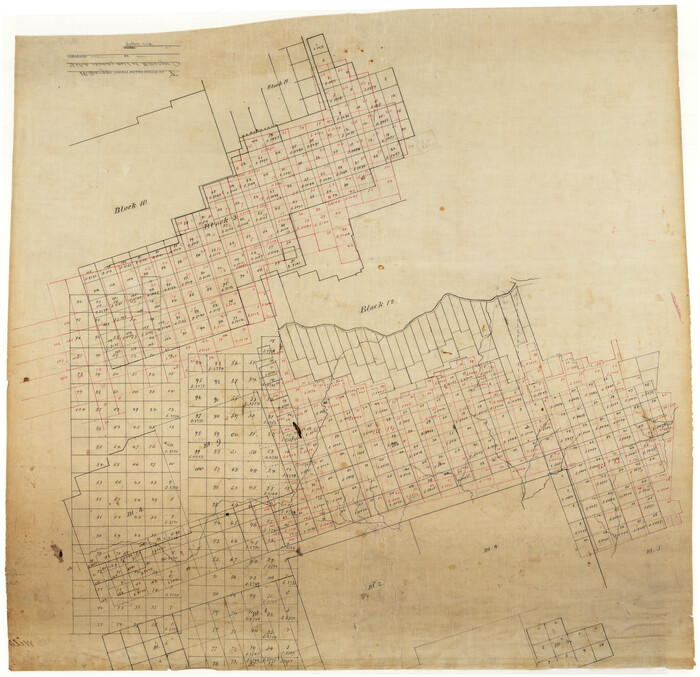
Wilbarger County Rolled Sketch 7

Print $20.00
- Digital $50.00
Wilbarger County Rolled Sketch 7
Size: 37.0 x 37.5 inches
10144
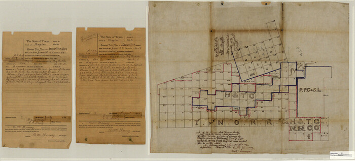
Baylor County Sketch File 10

Print $40.00
- Digital $50.00
Baylor County Sketch File 10
1890
Size: 19.3 x 42.7 inches
10321
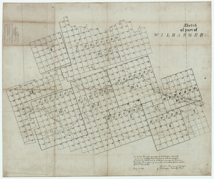
Wilbarger County Sketch File 10

Print $20.00
- Digital $50.00
Wilbarger County Sketch File 10
1894
Size: 33.9 x 38.7 inches
10434
Hardeman County Sketch File 1


Print $20.00
- Digital $50.00
Hardeman County Sketch File 1
Size: 31.0 x 45.7 inches
10477
Hardeman County Rolled Sketch 23


Print $20.00
- Digital $50.00
Hardeman County Rolled Sketch 23
1952
Size: 34.6 x 30.8 inches
10671
Foard County Sketch File 19


Print $20.00
- Digital $50.00
Foard County Sketch File 19
1899
Size: 17.7 x 16.5 inches
11493
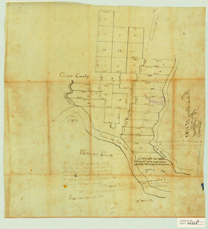
Greer County Sketch File 3

Print $20.00
- Digital $50.00
Greer County Sketch File 3
Size: 20.1 x 18.2 inches
11583
Hardeman County Sketch File 8a


Print $20.00
- Digital $50.00
Hardeman County Sketch File 8a
Size: 16.0 x 32.0 inches
11623
Hardeman County Sketch File 9


Print $20.00
- Digital $50.00
Hardeman County Sketch File 9
1884
Size: 27.7 x 30.1 inches
11624
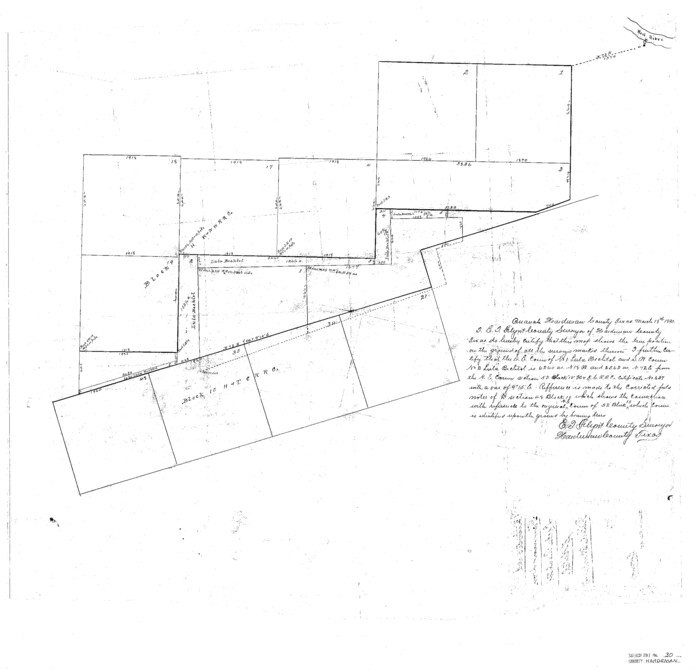
Hardeman County Sketch File 30

Print $20.00
- Digital $50.00
Hardeman County Sketch File 30
Size: 26.4 x 27.5 inches
11630
Wichita County Sketch File 19


Print $20.00
- Digital $50.00
Wichita County Sketch File 19
Size: 21.9 x 22.5 inches
12681
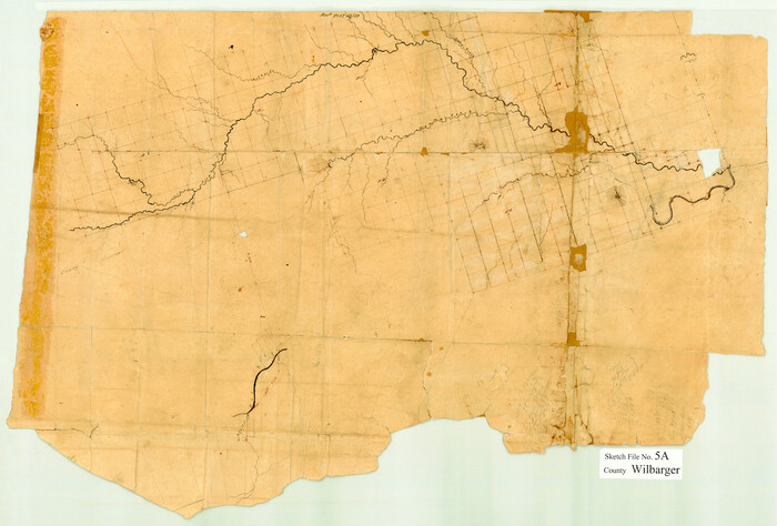
Wilbarger County Sketch File 5a

Print $20.00
- Digital $50.00
Wilbarger County Sketch File 5a
Size: 13.4 x 19.7 inches
12690
Wilbarger County Sketch File 24


Print $20.00
- Digital $50.00
Wilbarger County Sketch File 24
1894
Size: 23.3 x 14.9 inches
12691
Map of Wilbarger County


Print $40.00
- Digital $50.00
Map of Wilbarger County
1887
Size: 52.2 x 47.0 inches
16926
Map of the Surveyed Part of Young District


Print $40.00
- Digital $50.00
Map of the Surveyed Part of Young District
1860
Size: 56.2 x 54.7 inches
1986
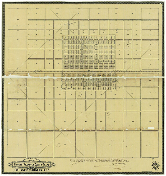
Map of the Town of Harrold, Wilbarger County, Texas on the line of the Fort Worth and Denver City Railway

Print $20.00
- Digital $50.00
Map of the Town of Harrold, Wilbarger County, Texas on the line of the Fort Worth and Denver City Railway
1887
Size: 31.2 x 28.6 inches
2186
Foard County Sketch File XX


Print $40.00
- Digital $50.00
Foard County Sketch File XX
1884
Size: 14.0 x 16.4 inches
22802
Foard County Sketch File 25

Print $8.00
- Digital $50.00
Foard County Sketch File 25
1885
Size: 12.9 x 8.5 inches
22852
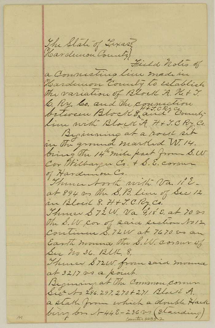
Hardeman County Sketch File 8


Print $8.00
- Digital $50.00
Hardeman County Sketch File 8
Size: 12.8 x 8.2 inches
25002
Hardeman County Sketch File 11
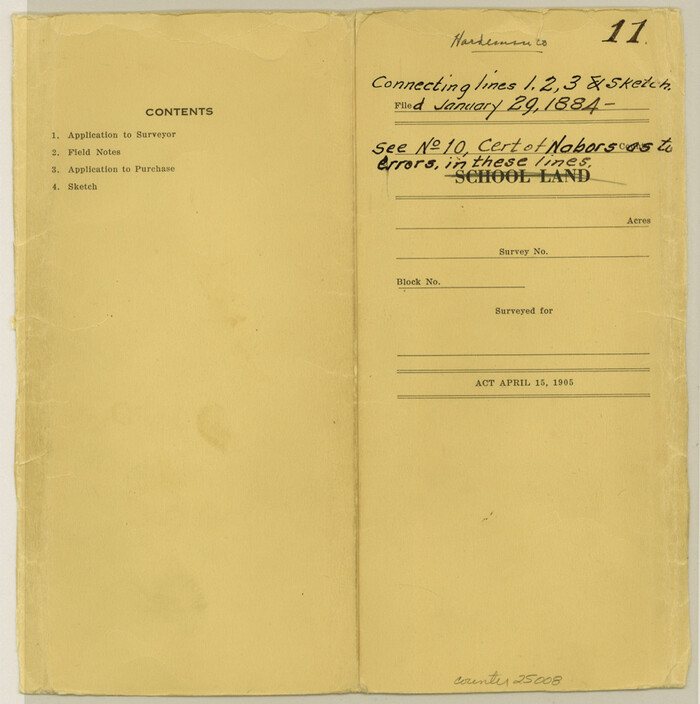

Print $42.00
- Digital $50.00
Hardeman County Sketch File 11
Size: 9.2 x 9.1 inches
25008
Wichita County Sketch File 12
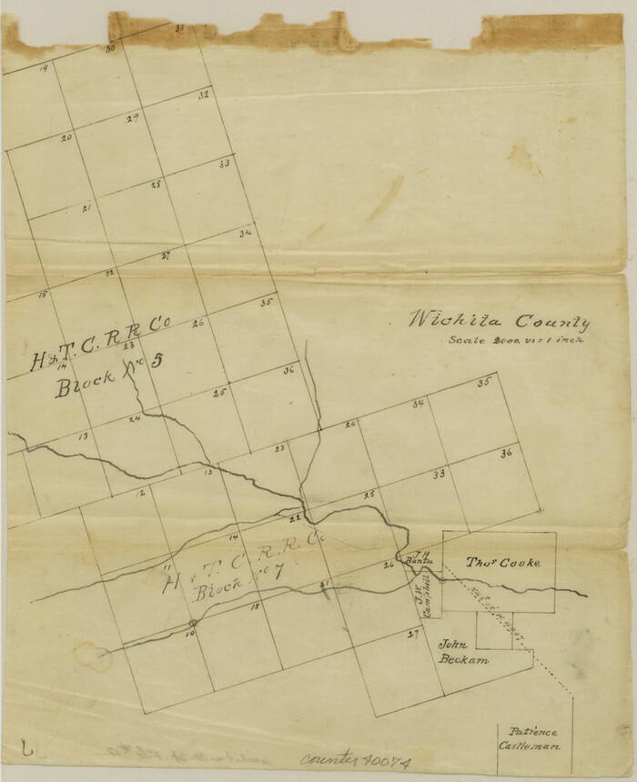

Print $6.00
- Digital $50.00
Wichita County Sketch File 12
1881
Size: 10.2 x 8.3 inches
40074
Wichita County Sketch File 13a
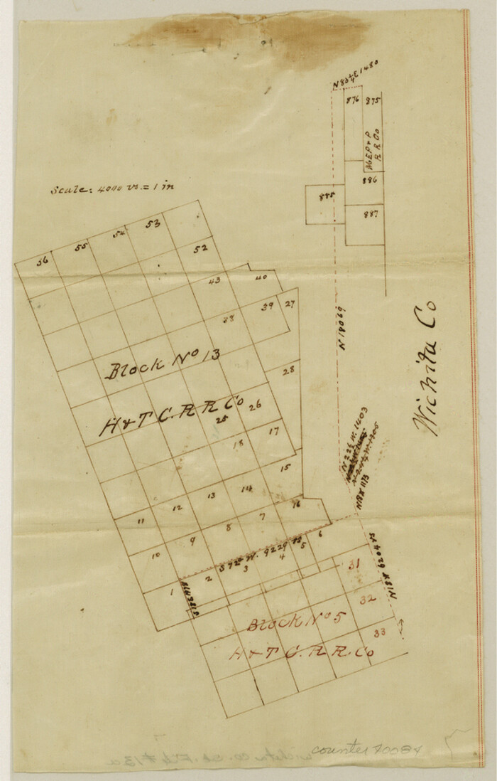

Print $6.00
- Digital $50.00
Wichita County Sketch File 13a
1881
Size: 9.4 x 6.0 inches
40084
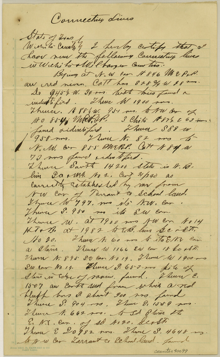
Wichita County Sketch File 18

Print $6.00
- Digital $50.00
Wichita County Sketch File 18
1890
Size: 14.0 x 8.6 inches
40099
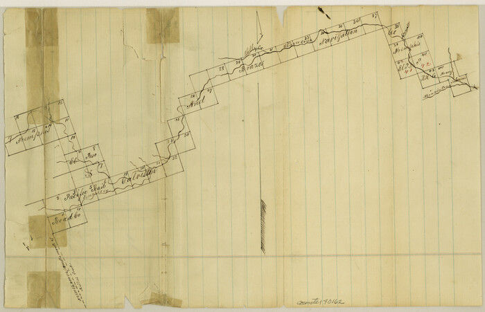
Wilbarger County Sketch File 1

Print $4.00
- Digital $50.00
Wilbarger County Sketch File 1
Size: 8.2 x 12.8 inches
40162
Wilbarger County Sketch File 2


Print $4.00
- Digital $50.00
Wilbarger County Sketch File 2
1862
Size: 8.9 x 7.9 inches
40164
Wilbarger County Sketch File 3


Print $26.00
- Digital $50.00
Wilbarger County Sketch File 3
Size: 7.4 x 13.9 inches
40166
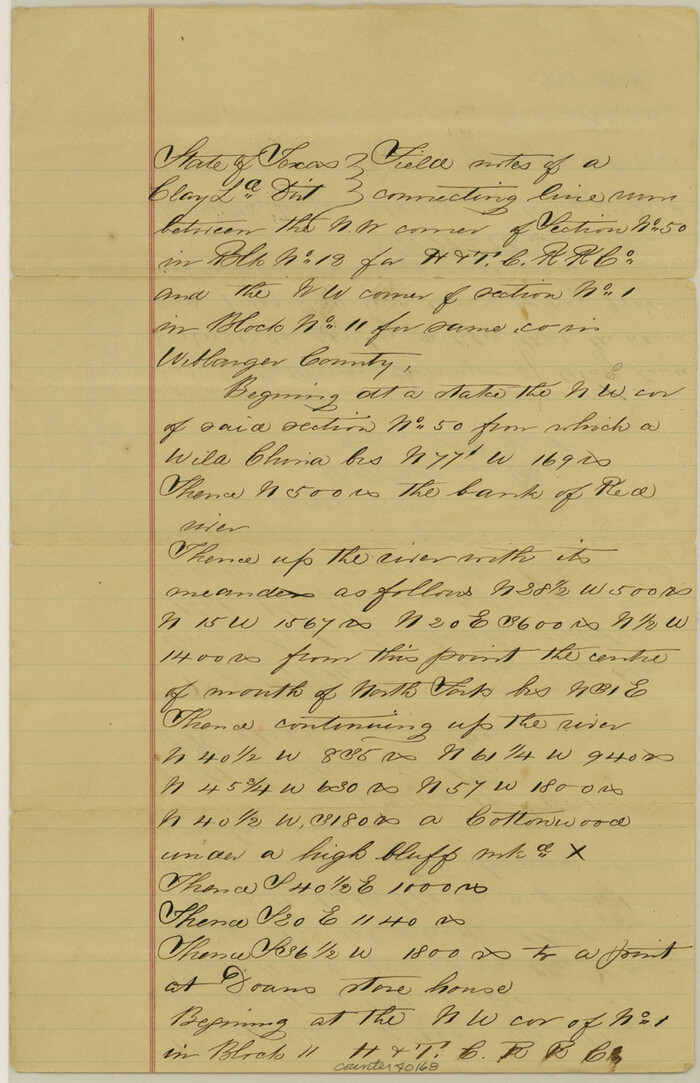
Wilbarger County Sketch File 4

Print $4.00
- Digital $50.00
Wilbarger County Sketch File 4
1883
Size: 12.7 x 8.2 inches
40168
Wilbarger County Rolled Sketch 2


Print $40.00
- Digital $50.00
Wilbarger County Rolled Sketch 2
-
Size
36.7 x 49.6 inches
-
Map/Doc
10140
Wilbarger County Rolled Sketch 3


Print $40.00
- Digital $50.00
Wilbarger County Rolled Sketch 3
-
Size
39.5 x 67.4 inches
-
Map/Doc
10141
Wilbarger County Rolled Sketch 7


Print $20.00
- Digital $50.00
Wilbarger County Rolled Sketch 7
-
Size
37.0 x 37.5 inches
-
Map/Doc
10144
Baylor County Sketch File 10


Print $40.00
- Digital $50.00
Baylor County Sketch File 10
1890
-
Size
19.3 x 42.7 inches
-
Map/Doc
10321
-
Creation Date
1890
Wilbarger County Sketch File 10


Print $20.00
- Digital $50.00
Wilbarger County Sketch File 10
1894
-
Size
33.9 x 38.7 inches
-
Map/Doc
10434
-
Creation Date
1894
Hardeman County Sketch File 1


Print $20.00
- Digital $50.00
Hardeman County Sketch File 1
-
Size
31.0 x 45.7 inches
-
Map/Doc
10477
Hardeman County Rolled Sketch 23


Print $20.00
- Digital $50.00
Hardeman County Rolled Sketch 23
1952
-
Size
34.6 x 30.8 inches
-
Map/Doc
10671
-
Creation Date
1952
Foard County Sketch File 19


Print $20.00
- Digital $50.00
Foard County Sketch File 19
1899
-
Size
17.7 x 16.5 inches
-
Map/Doc
11493
-
Creation Date
1899
Greer County Sketch File 3


Print $20.00
- Digital $50.00
Greer County Sketch File 3
-
Size
20.1 x 18.2 inches
-
Map/Doc
11583
Hardeman County Sketch File 8a


Print $20.00
- Digital $50.00
Hardeman County Sketch File 8a
-
Size
16.0 x 32.0 inches
-
Map/Doc
11623
Hardeman County Sketch File 9


Print $20.00
- Digital $50.00
Hardeman County Sketch File 9
1884
-
Size
27.7 x 30.1 inches
-
Map/Doc
11624
-
Creation Date
1884
Hardeman County Sketch File 30


Print $20.00
- Digital $50.00
Hardeman County Sketch File 30
-
Size
26.4 x 27.5 inches
-
Map/Doc
11630
Wichita County Sketch File 19


Print $20.00
- Digital $50.00
Wichita County Sketch File 19
-
Size
21.9 x 22.5 inches
-
Map/Doc
12681
Wilbarger County Sketch File 5a


Print $20.00
- Digital $50.00
Wilbarger County Sketch File 5a
-
Size
13.4 x 19.7 inches
-
Map/Doc
12690
Wilbarger County Sketch File 24


Print $20.00
- Digital $50.00
Wilbarger County Sketch File 24
1894
-
Size
23.3 x 14.9 inches
-
Map/Doc
12691
-
Creation Date
1894
Map of Wilbarger County


Print $40.00
- Digital $50.00
Map of Wilbarger County
1887
-
Size
52.2 x 47.0 inches
-
Map/Doc
16926
-
Creation Date
1887
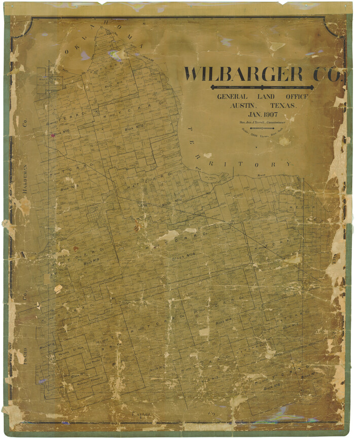
Wilbarger Co.

Print $40.00
- Digital $50.00
Wilbarger Co.
1907
-
Size
49.0 x 39.3 inches
-
Map/Doc
16927
-
Creation Date
1907
Map of the Surveyed Part of Young District


Print $40.00
- Digital $50.00
Map of the Surveyed Part of Young District
1860
-
Size
56.2 x 54.7 inches
-
Map/Doc
1986
-
Creation Date
1860
Map of the Town of Harrold, Wilbarger County, Texas on the line of the Fort Worth and Denver City Railway


Print $20.00
- Digital $50.00
Map of the Town of Harrold, Wilbarger County, Texas on the line of the Fort Worth and Denver City Railway
1887
-
Size
31.2 x 28.6 inches
-
Map/Doc
2186
-
Creation Date
1887
Foard County Sketch File XX


Print $40.00
- Digital $50.00
Foard County Sketch File XX
1884
-
Size
14.0 x 16.4 inches
-
Map/Doc
22802
-
Creation Date
1884
Foard County Sketch File 25


Print $8.00
- Digital $50.00
Foard County Sketch File 25
1885
-
Size
12.9 x 8.5 inches
-
Map/Doc
22852
-
Creation Date
1885
Hardeman County Sketch File 8


Print $8.00
- Digital $50.00
Hardeman County Sketch File 8
-
Size
12.8 x 8.2 inches
-
Map/Doc
25002
Hardeman County Sketch File 11


Print $42.00
- Digital $50.00
Hardeman County Sketch File 11
-
Size
9.2 x 9.1 inches
-
Map/Doc
25008
Wichita County Sketch File 12


Print $6.00
- Digital $50.00
Wichita County Sketch File 12
1881
-
Size
10.2 x 8.3 inches
-
Map/Doc
40074
-
Creation Date
1881
Wichita County Sketch File 13a


Print $6.00
- Digital $50.00
Wichita County Sketch File 13a
1881
-
Size
9.4 x 6.0 inches
-
Map/Doc
40084
-
Creation Date
1881
Wichita County Sketch File 18


Print $6.00
- Digital $50.00
Wichita County Sketch File 18
1890
-
Size
14.0 x 8.6 inches
-
Map/Doc
40099
-
Creation Date
1890
Wilbarger County Sketch File 1


Print $4.00
- Digital $50.00
Wilbarger County Sketch File 1
-
Size
8.2 x 12.8 inches
-
Map/Doc
40162
Wilbarger County Sketch File 2


Print $4.00
- Digital $50.00
Wilbarger County Sketch File 2
1862
-
Size
8.9 x 7.9 inches
-
Map/Doc
40164
-
Creation Date
1862
Wilbarger County Sketch File 3


Print $26.00
- Digital $50.00
Wilbarger County Sketch File 3
-
Size
7.4 x 13.9 inches
-
Map/Doc
40166
Wilbarger County Sketch File 4


Print $4.00
- Digital $50.00
Wilbarger County Sketch File 4
1883
-
Size
12.7 x 8.2 inches
-
Map/Doc
40168
-
Creation Date
1883