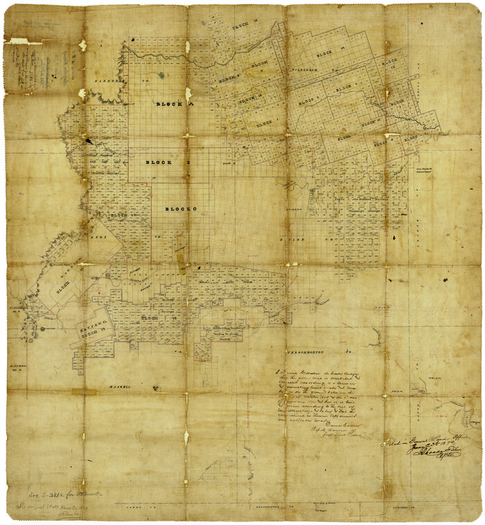
Baylor County Rolled Sketch 5
1874
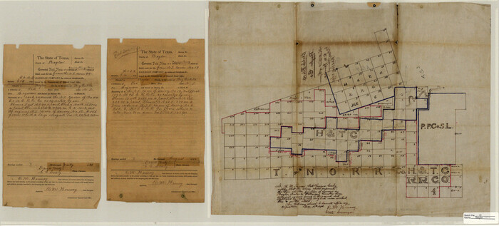
Baylor County Sketch File 10
1890

Foard County Sketch File 19
1899
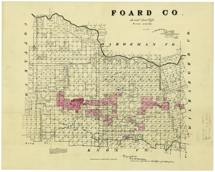
Foard County Sketch File 23
1891
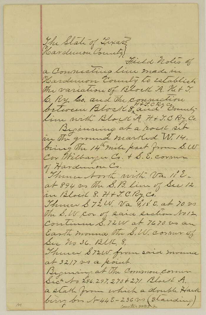
Foard County Sketch File 25
1885

Foard County Sketch File XX
1884

Foard County Working Sketch 1
1899

General Highway Map, Wilbarger County, Texas
1940
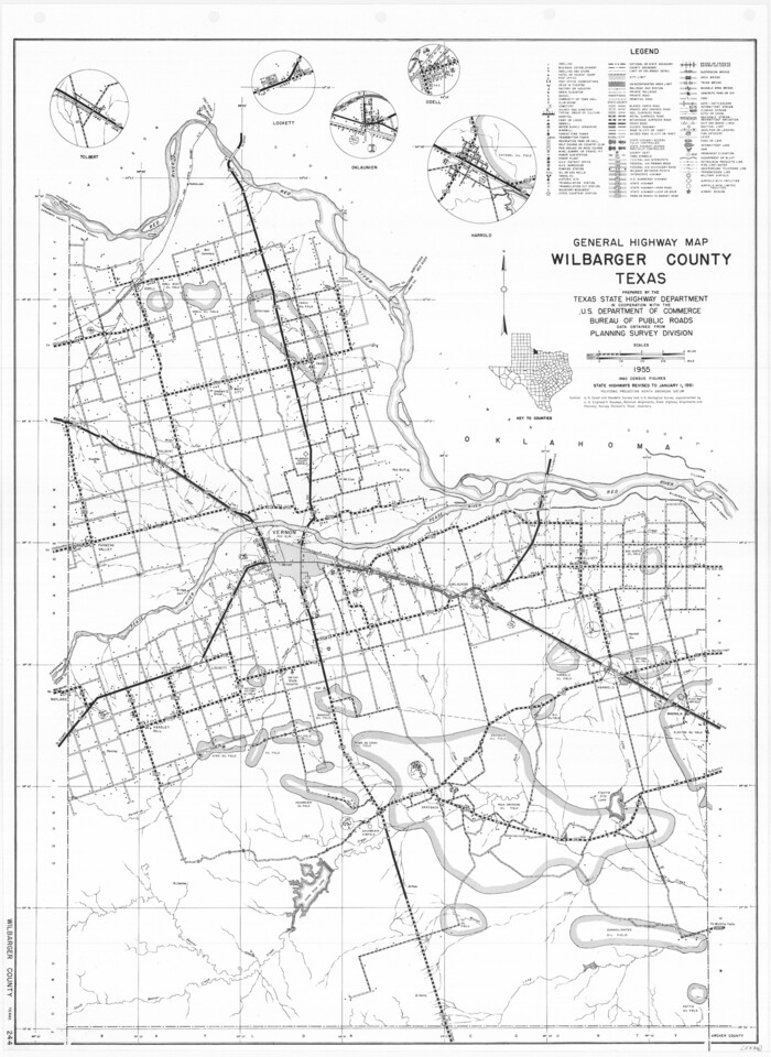
General Highway Map, Wilbarger County, Texas
1961
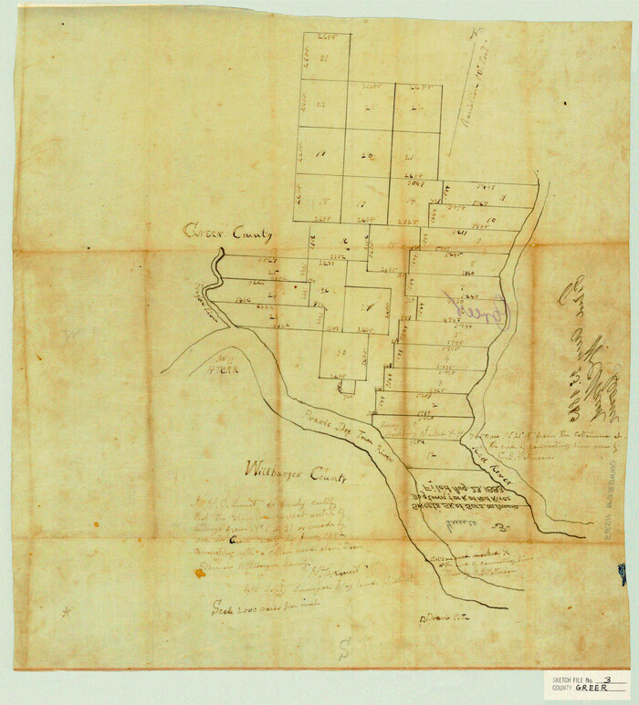
Greer County Sketch File 3

Hardeman County Rolled Sketch 14
1884

Hardeman County Rolled Sketch 23
1952

Hardeman County Sketch File 1
Hardeman County Sketch File 11
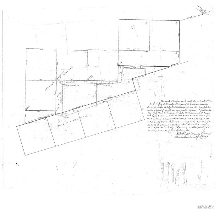
Hardeman County Sketch File 30

Hardeman County Sketch File 8

Hardeman County Sketch File 8a

Hardeman County Sketch File 9
1884
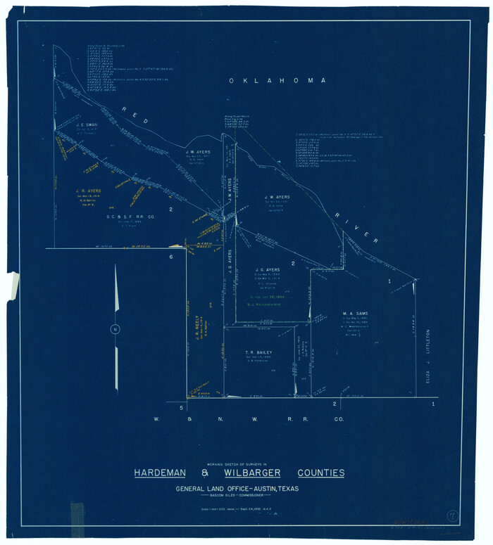
Hardeman County Working Sketch 7
1952

Map of Wilbarger County
1887

Map of Wilbarger County
1874
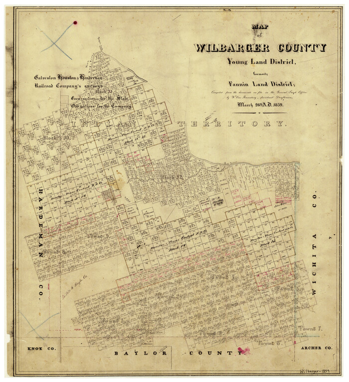
Map of Wilbarger County Young Land District formerly Fannin Land District
1859

Map of the Fort Worth & Denver City Railway, Wichita County, Texas
1885

Map of the Fort Worth and Denver City Railway
1873

Map of the Fort Worth and Denver City Railway, through Wilbarger County Texas, 1882

Map of the Fort Worth and Denver City Railway, through Wilbarger County Texas, 1882

Map of the Surveyed Part of Young District
1860
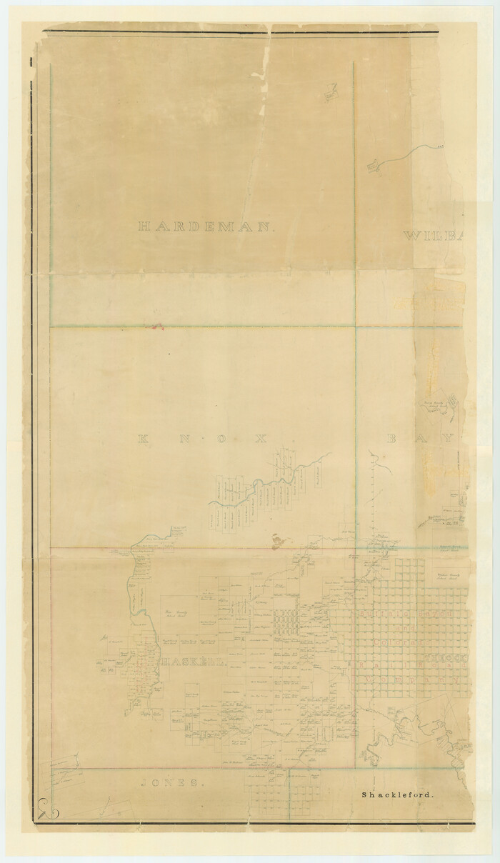
Map of the Surveyed Part of Young District
1860

Map of the Surveyed Part of Young District
1860
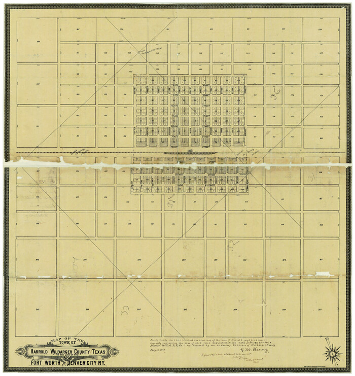
Map of the Town of Harrold, Wilbarger County, Texas on the line of the Fort Worth and Denver City Railway
1887

Baylor County Rolled Sketch 5
1874
-
Size
43.2 x 39.7 inches
-
Map/Doc
8444
-
Creation Date
1874

Baylor County Sketch File 10
1890
-
Size
19.3 x 42.7 inches
-
Map/Doc
10321
-
Creation Date
1890

Foard County Sketch File 19
1899
-
Size
17.7 x 16.5 inches
-
Map/Doc
11493
-
Creation Date
1899

Foard County Sketch File 23
1891
-
Size
21.3 x 24.7 inches
-
Map/Doc
4544
-
Creation Date
1891

Foard County Sketch File 25
1885
-
Size
12.9 x 8.5 inches
-
Map/Doc
22852
-
Creation Date
1885

Foard County Sketch File XX
1884
-
Size
14.0 x 16.4 inches
-
Map/Doc
22802
-
Creation Date
1884

Foard County Working Sketch 1
1899
-
Size
20.5 x 22.8 inches
-
Map/Doc
69191
-
Creation Date
1899

General Highway Map, Wilbarger County, Texas
1940
-
Size
24.7 x 18.1 inches
-
Map/Doc
79278
-
Creation Date
1940

General Highway Map, Wilbarger County, Texas
1961
-
Size
24.9 x 18.2 inches
-
Map/Doc
79710
-
Creation Date
1961

Greer County Sketch File 3
-
Size
20.1 x 18.2 inches
-
Map/Doc
11583

Hardeman County Rolled Sketch 14
1884
-
Size
23.9 x 59.2 inches
-
Map/Doc
9099
-
Creation Date
1884

Hardeman County Rolled Sketch 23
1952
-
Size
34.6 x 30.8 inches
-
Map/Doc
10671
-
Creation Date
1952

Hardeman County Sketch File 1
-
Size
31.0 x 45.7 inches
-
Map/Doc
10477

Hardeman County Sketch File 11
-
Size
9.2 x 9.1 inches
-
Map/Doc
25008

Hardeman County Sketch File 30
-
Size
26.4 x 27.5 inches
-
Map/Doc
11630

Hardeman County Sketch File 8
-
Size
12.8 x 8.2 inches
-
Map/Doc
25002

Hardeman County Sketch File 8a
-
Size
16.0 x 32.0 inches
-
Map/Doc
11623

Hardeman County Sketch File 9
1884
-
Size
27.7 x 30.1 inches
-
Map/Doc
11624
-
Creation Date
1884

Hardeman County Working Sketch 7
1952
-
Size
34.2 x 30.9 inches
-
Map/Doc
63388
-
Creation Date
1952

Map of Wilbarger County
1887
-
Size
52.2 x 47.0 inches
-
Map/Doc
16926
-
Creation Date
1887

Map of Wilbarger County
1874
-
Size
23.8 x 22.2 inches
-
Map/Doc
4147
-
Creation Date
1874

Map of Wilbarger County Young Land District formerly Fannin Land District
1859
-
Size
22.7 x 20.6 inches
-
Map/Doc
4146
-
Creation Date
1859

Map of the Fort Worth & Denver City Railway, Wichita County, Texas
1885
-
Size
25.2 x 122.4 inches
-
Map/Doc
64454
-
Creation Date
1885

Map of the Fort Worth and Denver City Railway
1873
-
Size
31.6 x 90.3 inches
-
Map/Doc
64778
-
Creation Date
1873

Map of the Fort Worth and Denver City Railway, through Wilbarger County Texas, 1882
-
Size
22.9 x 121.1 inches
-
Map/Doc
64426

Map of the Fort Worth and Denver City Railway, through Wilbarger County Texas, 1882
-
Size
22.6 x 79.4 inches
-
Map/Doc
64427

Map of the Surveyed Part of Young District
1860
-
Size
56.2 x 54.7 inches
-
Map/Doc
1986
-
Creation Date
1860

Map of the Surveyed Part of Young District
1860
-
Size
56.3 x 32.6 inches
-
Map/Doc
87373
-
Creation Date
1860

Map of the Surveyed Part of Young District
1860
-
Size
56.3 x 27.3 inches
-
Map/Doc
87374
-
Creation Date
1860

Map of the Town of Harrold, Wilbarger County, Texas on the line of the Fort Worth and Denver City Railway
1887
-
Size
31.2 x 28.6 inches
-
Map/Doc
2186
-
Creation Date
1887